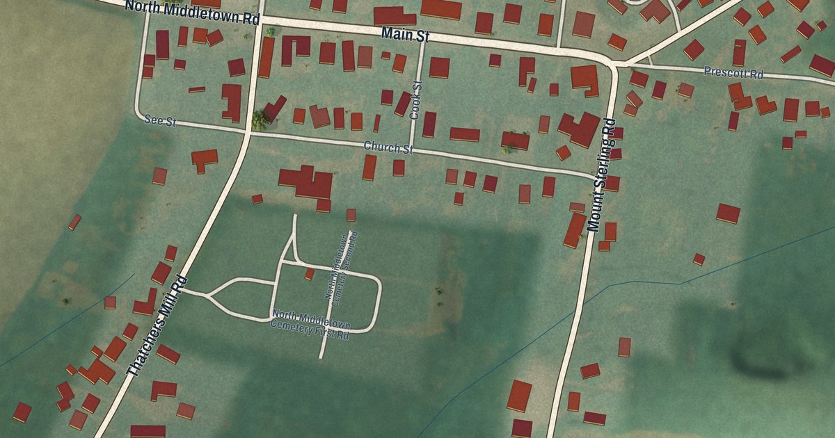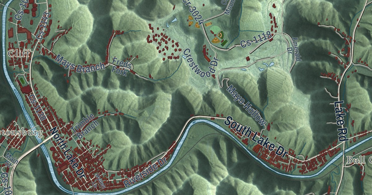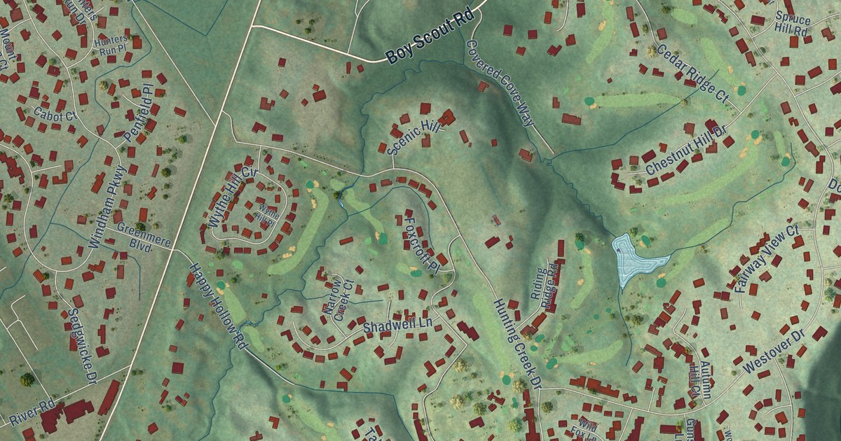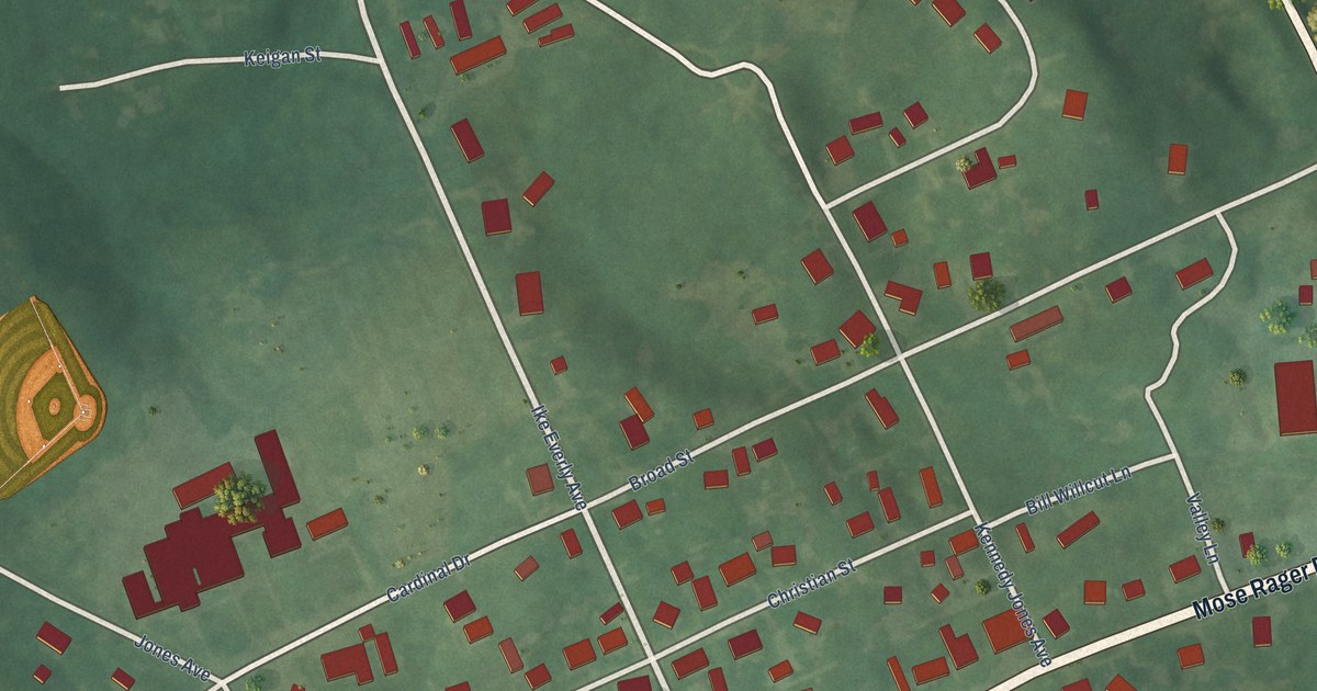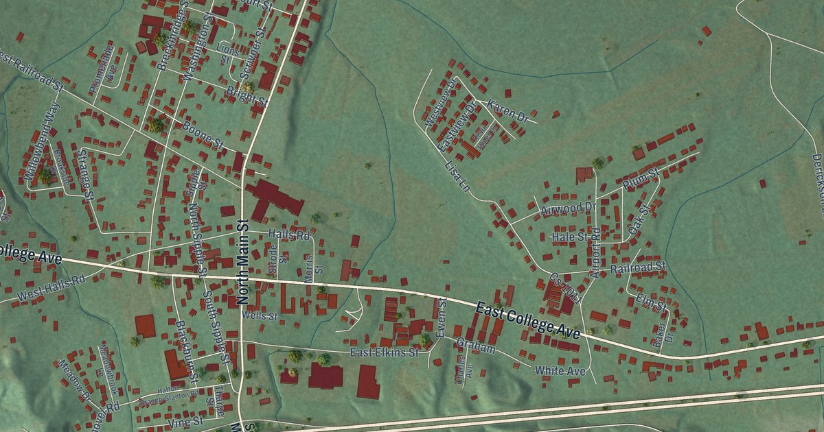
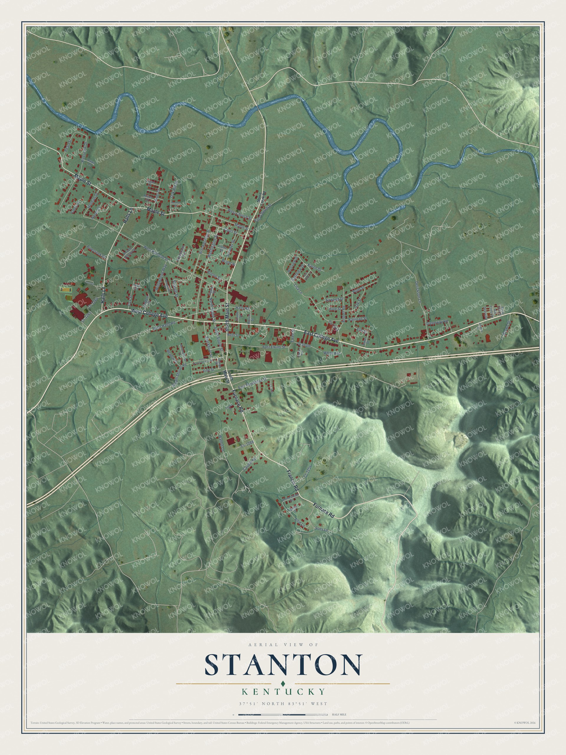
This beautifully detailed map of Stanton, Kentucky was created in 2026 using aerial imagery combined with modern topographical, census, street and landmark data. It’s a one-of-a-kind view of Stanton that combines accurate data with a vintage aesthetic. The map shows every building in its true location, many of the roads carry their names, and the shaded topographic relief shows the shape of the land.
Explore an aerial view of Stanton, Kentucky
On the map you’ll find East College Avenue, Furnace Road, North Main Street, Maple Street, West College Avenue, Halls Lane, Francis Road, North Sipple Street, Breckinridge Street, Lisa Lane, West Church Street, Halls Road, and more. If you look closely you can even find your house accurately drawn in its correct location. Zoom in on the preview to look for yours.
Did you know this piece of Stanton, Kentucky history?
From the Kentucky A Guide to the Bluegrass State: "Stanton, first called Beaver Pond for a small lake created by a beaver dam in the swampy lowlands just east of the town, was renamed in 1852 to honor Richard H. Stanton of Maysville, Representative in Congress from 1849 to 1855."
Take a closer look at the Stanton map
Street names on the Stanton, Kentucky map
These names are printed on the map of Stanton, Kentucky.
Streets and roads: East College Avenue, Furnace Road, North Main Street, Maple Street, West College Avenue, Halls Lane, Francis Road, North Sipple Street, Breckinridge Street, Lisa Lane, West Church Street, Halls Road.
More street names, A to Z
Abbey Court, Airport Road, Airwood Drive, Allie Lane, Baker Drive, Blackburn Street, Boone Street, Bright Street, Brookside Drive, Brown Street, Buena Vista Drive, Caudill Road, Charles Avenue, Childers Street, Court Street, Cox Street, Cr-1254, Cr-1264, Cr-1265, Cs-1011, Cs-1039, Cs-1088, Cs-1089, Dawn Lane, Deerview, Derickson Lane, East Church Street, East Elkins Street, East Pendleton Street, Eastview Drive, Elm Street, Ewen Street, Graham, Greenway Road, Hale Street, Hatton Branch-Stanton Road, Hill Crest Drive, Holman Drive, Homestead Drive, Hoys Lane, Industrial Road, Karen Drive, Kevin James Lane, Lions Street, Logan Lane, Meadowbrook Lane, Meadow Drive, Miller Drive, Morris Creek Road, Morris Street, Nolan Court, Oak Hill Drive, Oak Street, Pamela Drive, Pearl Street, Pinecreek Drive, Plum Street, Powell Village Drive, Promenade Avenue, Railroad Street, River Drive, Riverview Drive, Scrivner Street, Sherman Drive, Sipple Street, Sons Lane, South Main Street, South Sipple Street, Steam Shovel Road, Strange Street, Strode Street, Tharpe Street, Tipton Street, Vine Street, Walnut Lane, Washington Street, Wells Street, West Halls Road, West Railroad Street, Westview Drive, White Avenue, Willowbend Way.
See the Stanton, Kentucky map on a wall
The Stanton map as an 18 x 24 inch print in a black frame.

This beautifully detailed map of Stanton makes an attractive addition to your office, library, or den, and it can even be used to teach children the geography and history of the area. It also makes a great gift for someone who left Stanton and still calls it home. When you’re done exploring, click here to get your copy of the Stanton map.