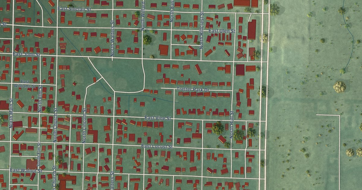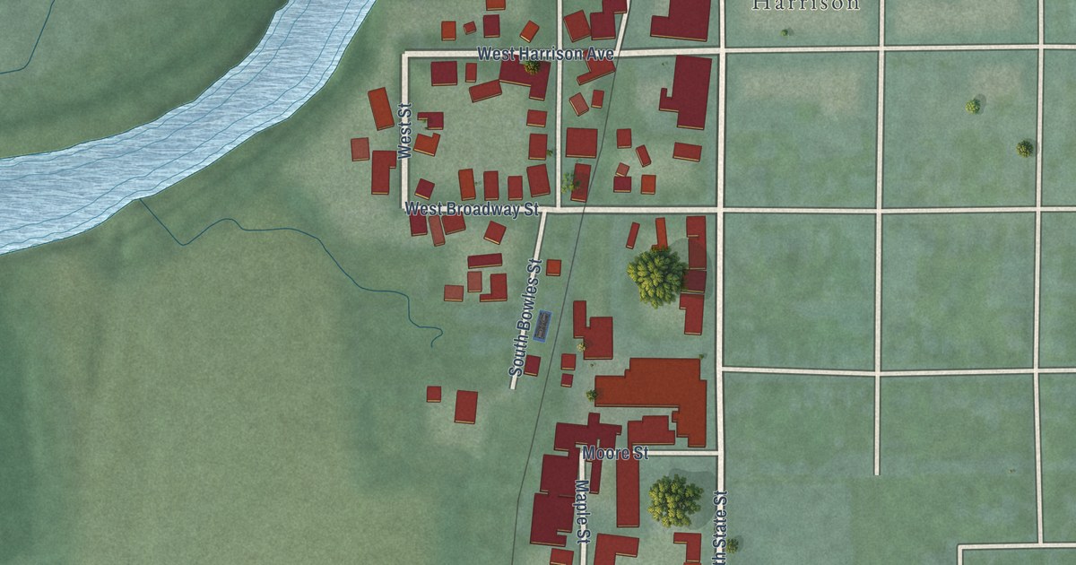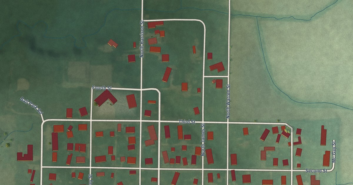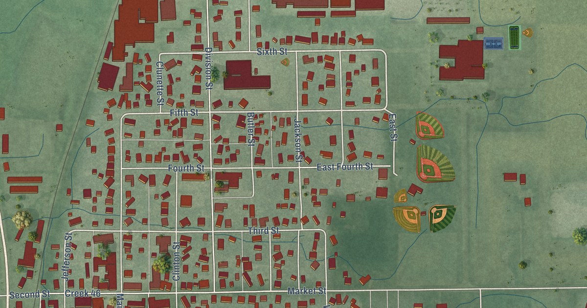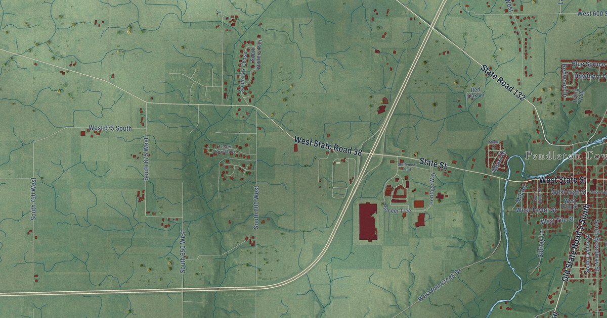
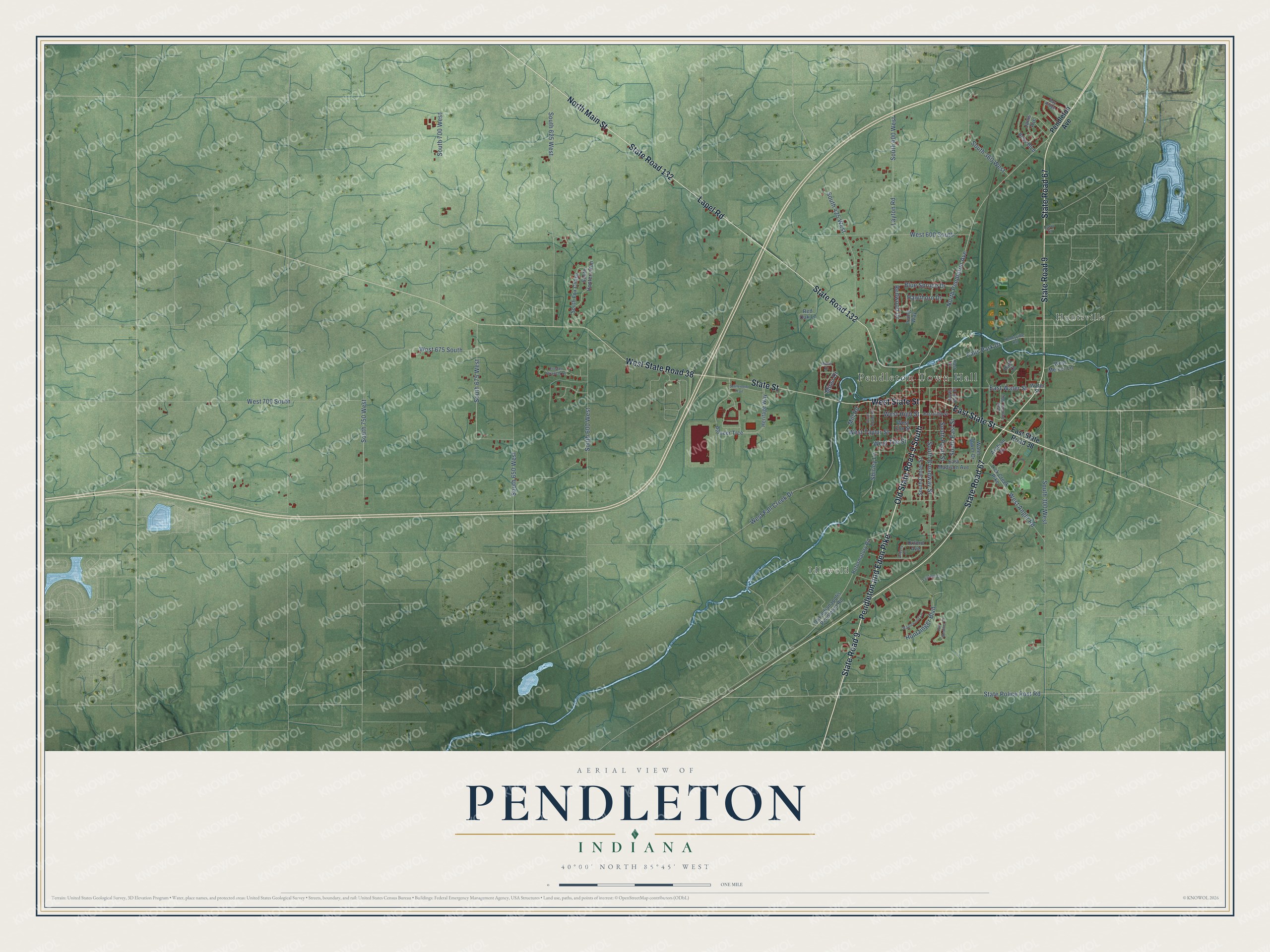
This beautifully detailed map of Pendleton, Indiana was created in 2026 using aerial imagery combined with modern topographical, census, street and landmark data. It’s a one-of-a-kind view of Pendleton that combines accurate data with a vintage aesthetic. The map shows every building in its true location, many of the roads carry their names, and the shaded topographic relief shows the shape of the land.
Explore an aerial view of Pendleton, Indiana
On the map you’ll find Pendleton Town Hall, Idlewold, Falls Park, Huntsville, West State Road 38, and Old State Road 9 South, along with State Road 9, Pendleton and Eden Pike, East State Street, West State Street, State Road 67, Lapel Road, and more. If you look closely you can even find your house accurately drawn in its correct location. Zoom in on the preview to look for yours.
Did you know this piece of Pendleton, Indiana history?
From the History of Madison County Indiana: "Although Pendleton is one of the oldest towns in the county, it never assumed much importance until the completion of the Bellefontaine Railroad, in 1851."
Take a closer look at the Pendleton map
Street and place names on the Pendleton, Indiana map
These names are printed on the map of Pendleton, Indiana.
Places: Pendleton Town Hall, Idlewold, Falls Park and Huntsville.
Streets and roads: State Road 9, West State Road 38, Pendleton and Eden Pike, East State Street, Old State Road 9 South, West State Street, State Road 67, Lapel Road, State Road 132, North Main Street, State Street, North Pendleton Avenue.
More street names, A to Z
Arabian Drive, Asbury Court, Bay Ridge, Bess Boulevard, Blue Spruce Drive, East Central Way, East High Street, East Madison Avenue, East State Road 38, East Street, East Water Street, Fairfield Lane, Fair Weather Drive, Falls Park Drive, Foster Branch Drive, Hawthorn Drive, Heritage Way, Huntsville Road, Huntzinger Boulevard, Irving Way, Janis Avenue, Larry Street, Layton Road, Lick Creek Pike, Maplewood Lane, Miami Drive, Mill Road, Minsi Drive, North East Street, Old Indianapolis Pendleton Road, Oxford Avenue, Park Court, Pendleton Avenue, Pioneer Trce, Red Oak Lane, Redwood Drive, Reformatory Road, Settlement Trail, Shirley Lane, South 300 West, South 360 West, South 400 West, South 425 West, South 600 West, South 625 West, South 650 West, South 675 West, South 700 West, South 750 West, South Adams Street, South Broadway Street, South Center Street, South East Street, South Fox Chase, South Hunters Run, South Pearl Street, State Police Post Road, Water Street, Water Tower Drive, West 600 South, West 675 South, West 700 South, West Angle Road, West Elm Street, West Fall Creek Drive, West High Street, West Mercer Lane, West Taylor Street, West Tile Street.
See the Pendleton, Indiana map on a wall
The Pendleton map as an 18 x 24 inch print in a black frame.

This beautifully detailed map of Pendleton makes an attractive addition to your office, library, or den, and it can even be used to teach children the geography and history of the area. It also makes a great gift for anyone with Pendleton roots. When you’re done exploring, click here to get your copy of the Pendleton map.