Indiana Map Prints
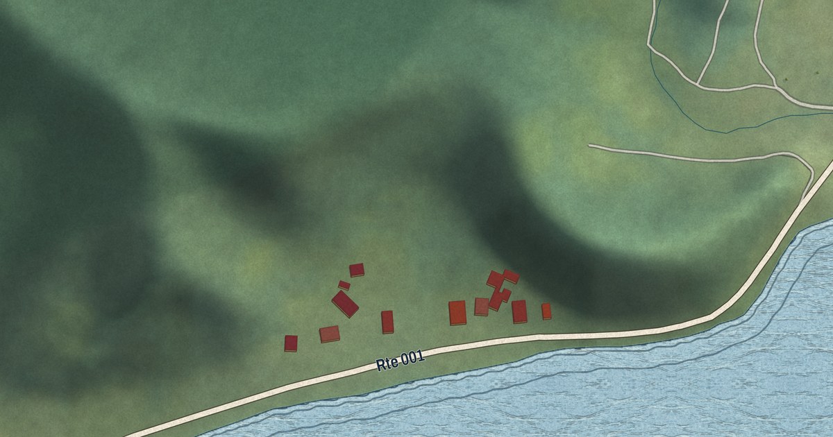
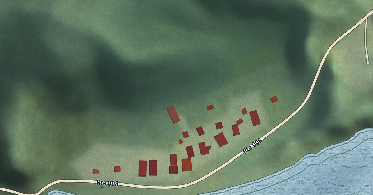
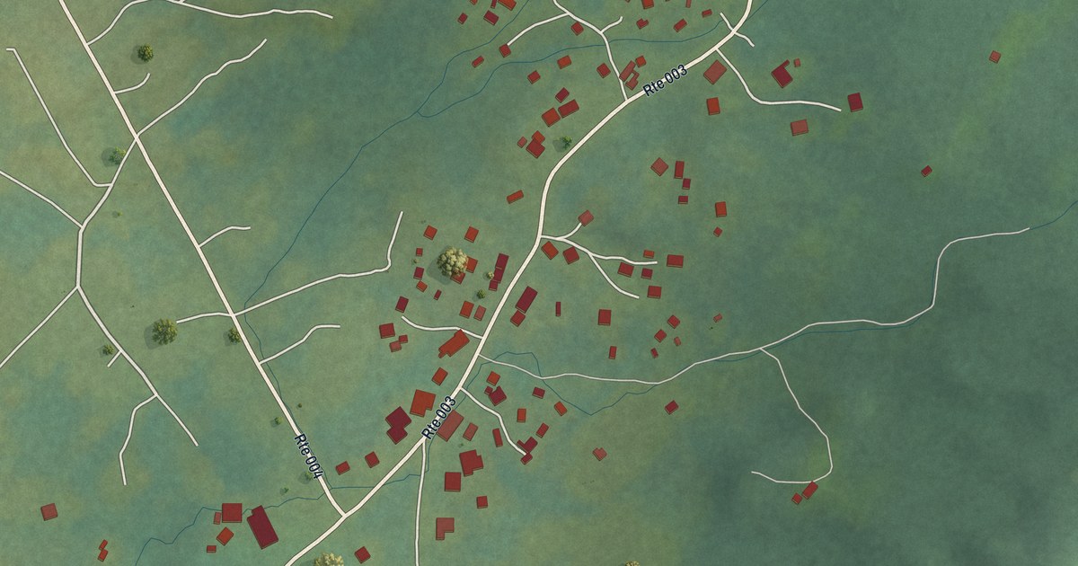
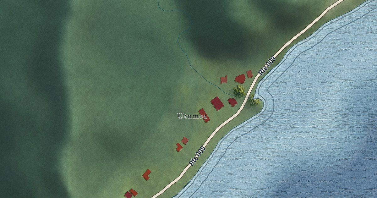
We make detailed maps of Indiana towns, the way they look today. Type yours and see its map.
Or pick a county on the map.
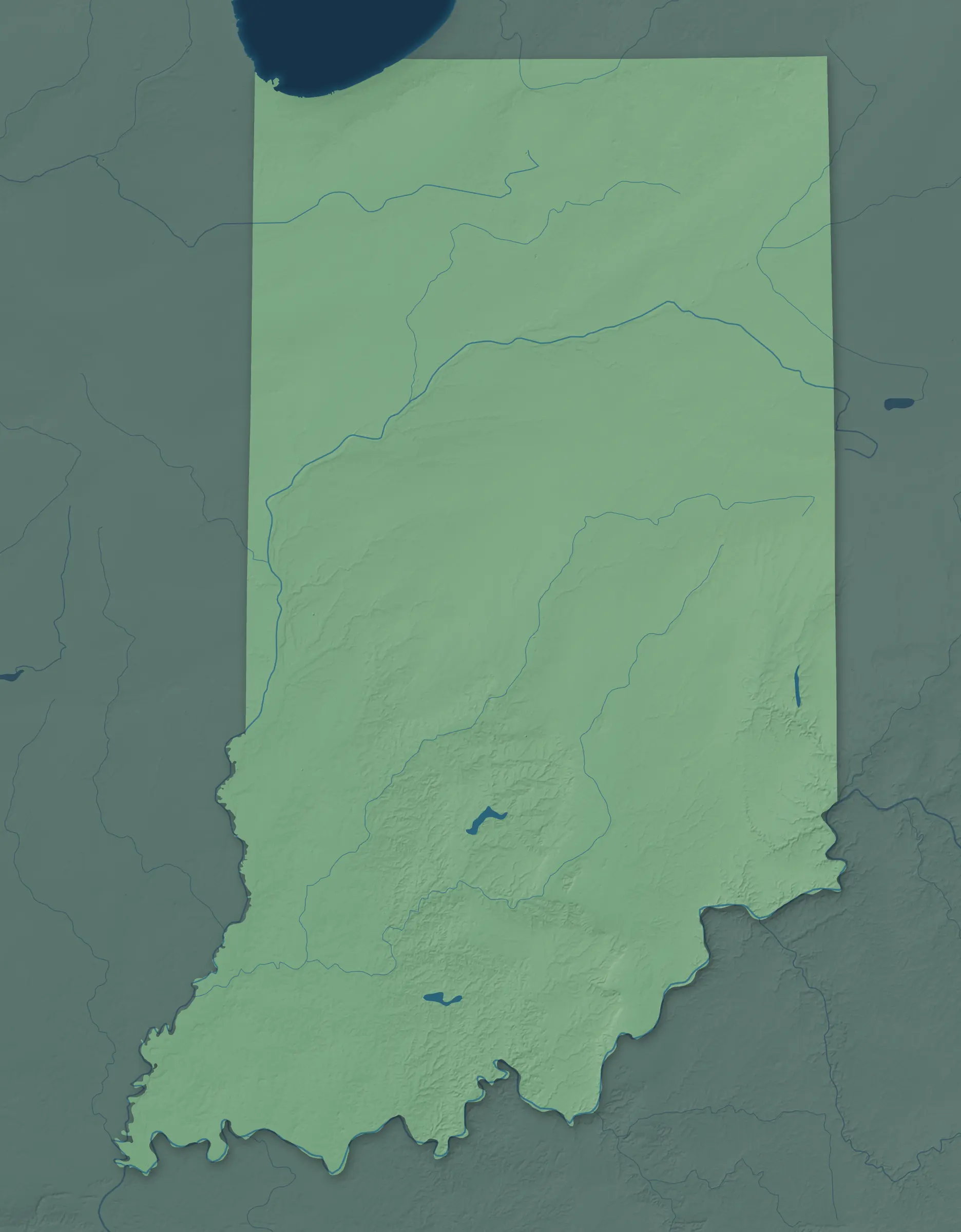
A town mapPick a county to look closer.
Indiana Towns by County
573 town maps in 92 counties. Open one to see its towns.
Bartholomew County6
Blackford County3
Brown County1
Carroll County5
Cass County5
Crawford County5
Dearborn County9
Decatur County5
Dubois County5
Fayette County1
Floyd County3
Franklin County5
Gibson County10
Harrison County9
Hendricks County11
Henry County15
Howard County3
Huntington County6
Jackson County4
Jasper County4
Jefferson County4
Jennings County2
Kosciusko County13
LaGrange County3
LaPorte County11
Lake County20
Madison County15
Marion County15
Monroe County3
Montgomery County11
Ohio County1
Orange County4
Pike County3
Porter County12
Posey County5
Pulaski County4
Ripley County7
Scott County2
Shelby County3
Spencer County7
St. Joseph County11
Starke County3
Tippecanoe County7
Tipton County4
Union County2
Vanderburgh County2
Vermillion County7
Vigo County4
Wabash County5
Warren County4
Washington County6
Wayne County14
Whitley County4
Don’t see your town? Ask us to draw it.
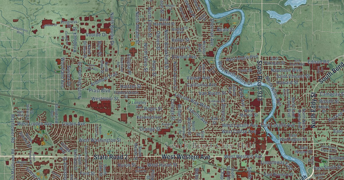
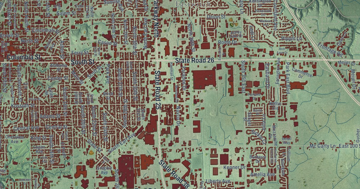
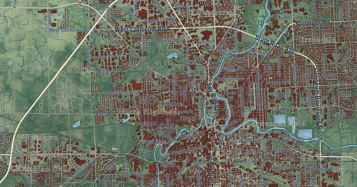
A Few Places to Start
How Each Map Is Made
It starts with the real place
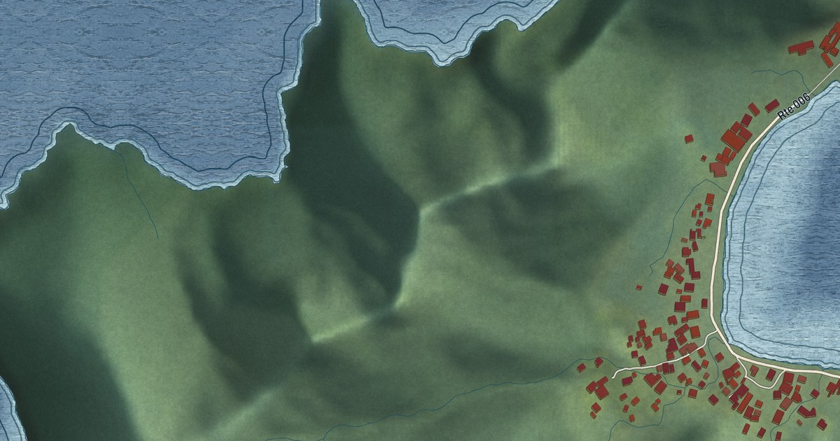
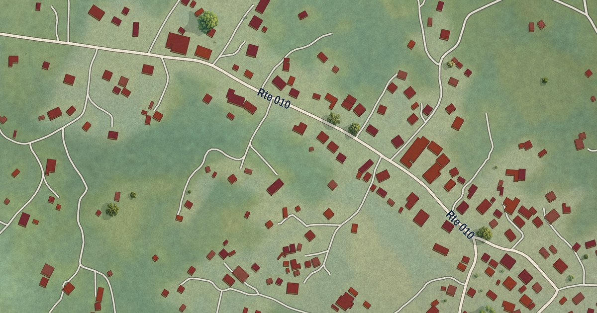
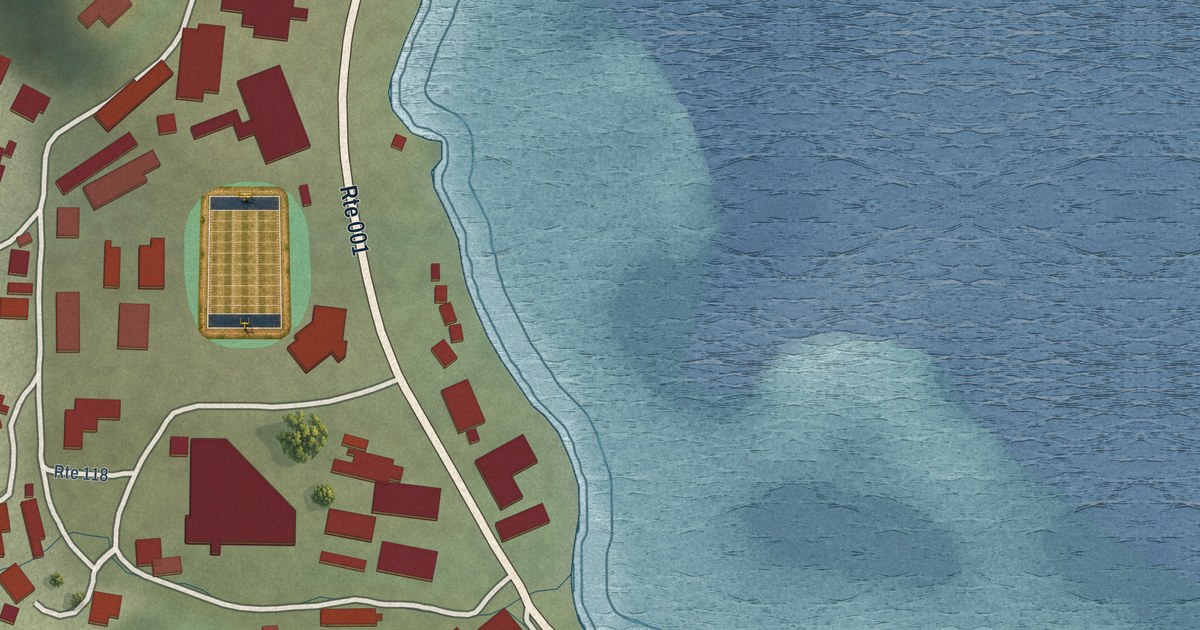
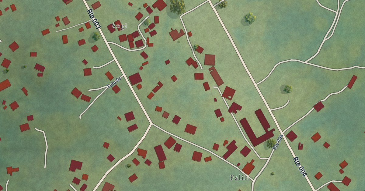
Streets, buildings, terrain and water form the map, drawn the way Indiana looks today.
Then the details
Local research and an old atlas style give each town its character.
Then it’s yours
Look around the map, then pick a print to keep or give.