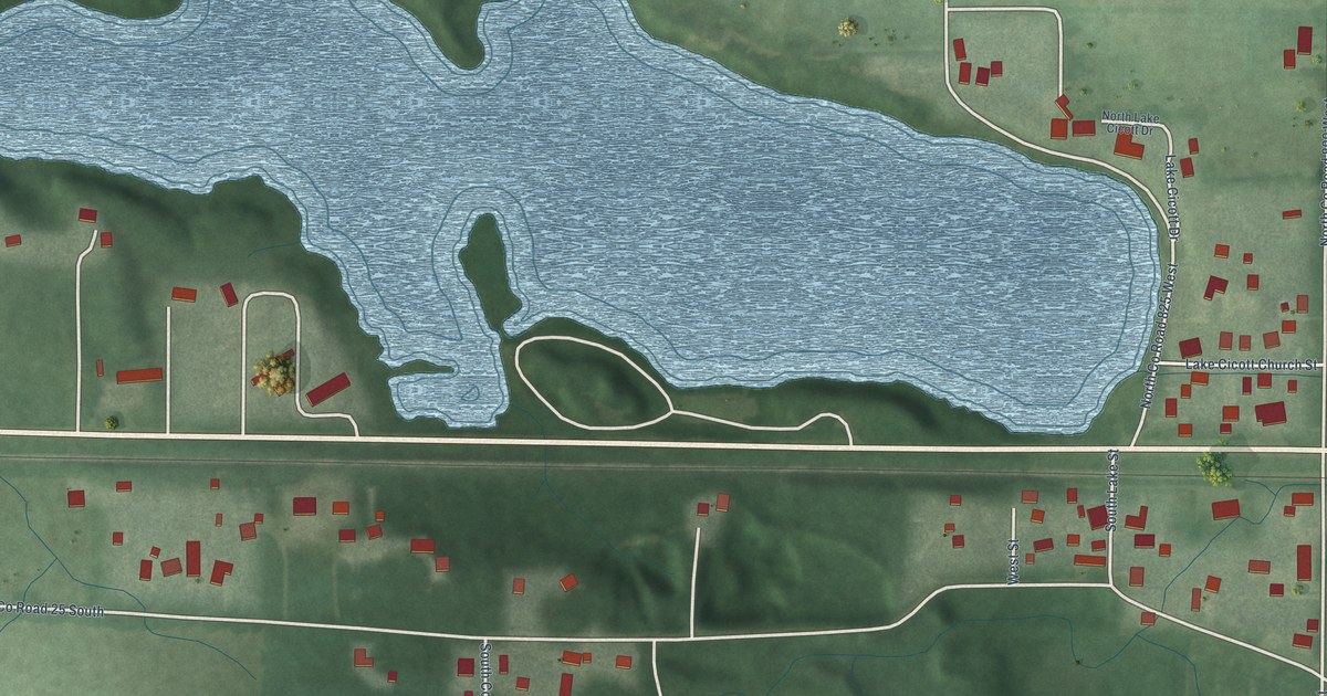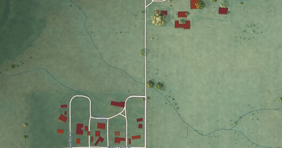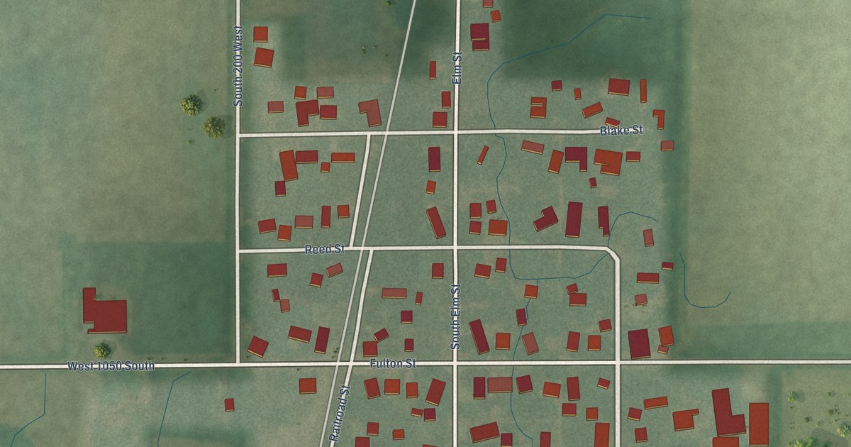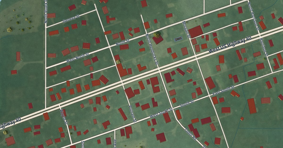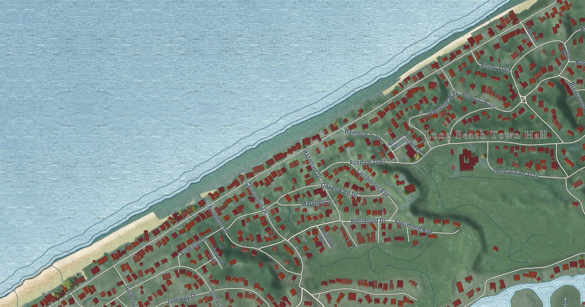
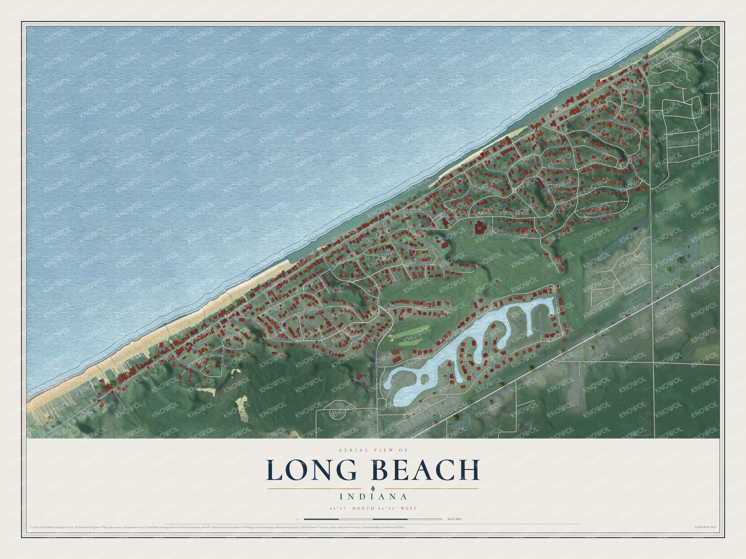
This beautifully detailed map of Long Beach, Indiana was created in 2026 using aerial imagery combined with modern topographical, census, street and landmark data. It’s a one-of-a-kind view of Long Beach that combines accurate data with a vintage aesthetic. The map shows every building in its true location, many of the roads carry their names, and the shaded topographic relief shows the shape of the land.
Explore an aerial view of Long Beach, Indiana
On the map you’ll find Long Beach Town Hall, along with Oriole Trail, Avondale Drive, Edgemore Avenue, Floral Trail, Florimond Drive, Duffy Lane, Lake Shore Drive, Belle Plaine Trail, Roslyn Trail, Fairway Drive, Moore Road, and more. If you look closely you can even find your house accurately drawn in its correct location. Zoom in on the preview to look for yours.
Did you know this piece of Long Beach, Indiana history?
Long Beach incorporated in 1921 as a resort town named for its sandy Lake Michigan shore. Chief Justice John Roberts spent his childhood here. John Lloyd Wright opened an architecture practice in town and designed many homes nearby. He was the son of Frank Lloyd Wright.
Take a closer look at the Long Beach map
Street and place names on the Long Beach, Indiana map
These names are printed on the map of Long Beach, Indiana.
Places: Long Beach Town Hall.
Streets and roads: Oriole Trail, Avondale Drive, Edgemore Avenue, Floral Trail, Florimond Drive, Duffy Lane, Lake Shore Drive, Belle Plaine Trail, Roslyn Trail, Fairway Drive, Moore Road, Shorewood Drive.
More street names, A to Z
Ardmore Trail, Berwyn Avenue, Blanchard Court, Blinks Avenue, Brentwood Drive, Brentwood Way, Brook Hollow Court, Chastelton Drive, Chastleton Drive, Claremont Drive, Elbridge Way, Florimond Avenue, Foxdale Trail, Glendale Way, Goldengate Drive, Grande Mere, Hazeltine Drive, Hermoine Trail, Hideaway Point, Hoveland Avenue, Idlewood Trail, Indianapolis Avenue, Juneway Drive, Lake Shore Lb Drive, Larchmont Avenue, Lawndale Avenue, Loma Portal Way, Lothair Way, Lyndale Way, Maryben Drive, Mayfield Way, Melrose Drive, Monrovia Drive, Montrose Drive, Mount Clair Way, Nichols Court, North Karwick Road, Northmoor Trail, Oakenwald Drive, Oaks Court, Rainbow Trail, Ridgemoor Drive, Ridge Road, Rosamond Drive, Shady Oak Lane, Silvertip Lane, Somerset Road, Storey Avenue, Summitt Drive, Tinker's Way, Town Court, Upland Drive, Wildmoor Drive.
See the Long Beach, Indiana map on a wall
The Long Beach map as an 18 x 24 inch print in a black frame.

This beautifully detailed map of Long Beach makes an attractive addition to your office, library, or den, and it can even be used to teach children the geography and history of the area. It also makes a great gift for someone who left Long Beach and still calls it home. When you’re done exploring, click here to get your copy of the Long Beach map.