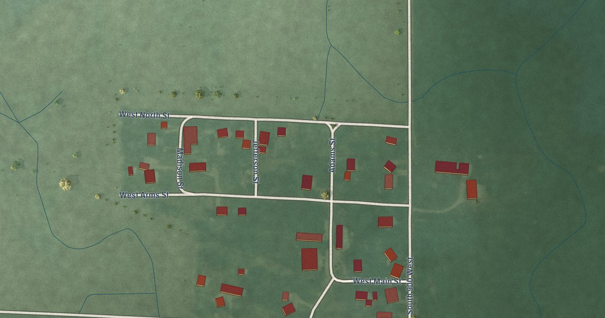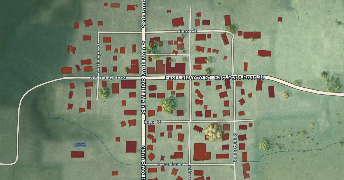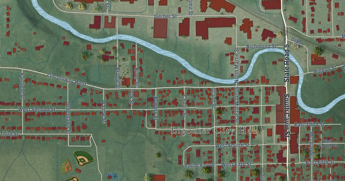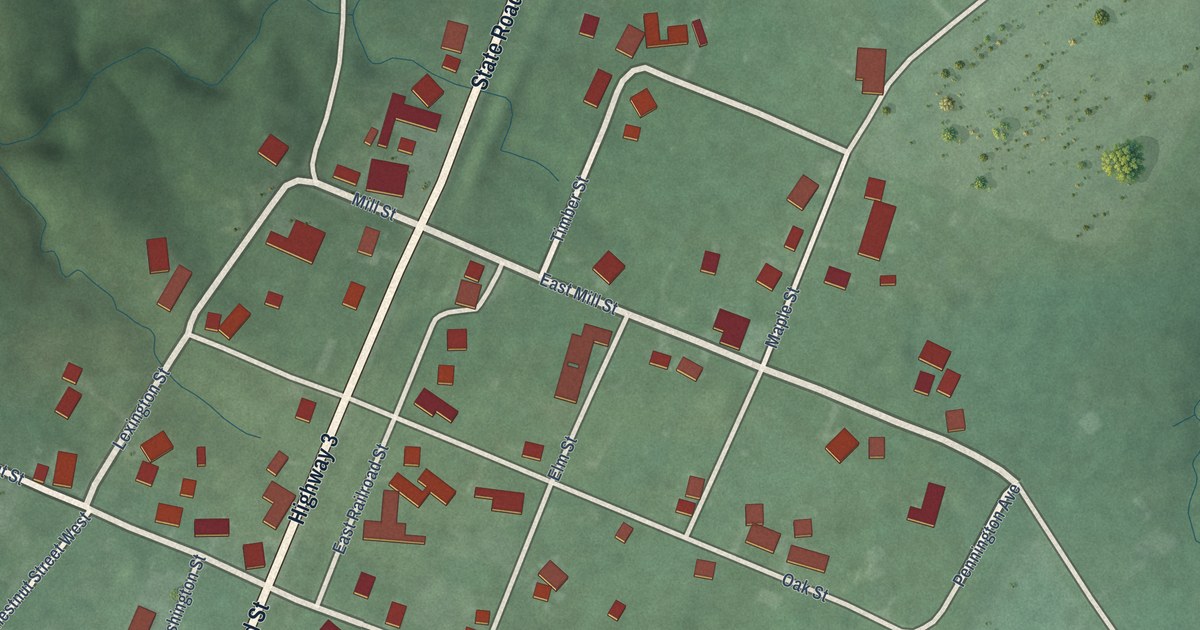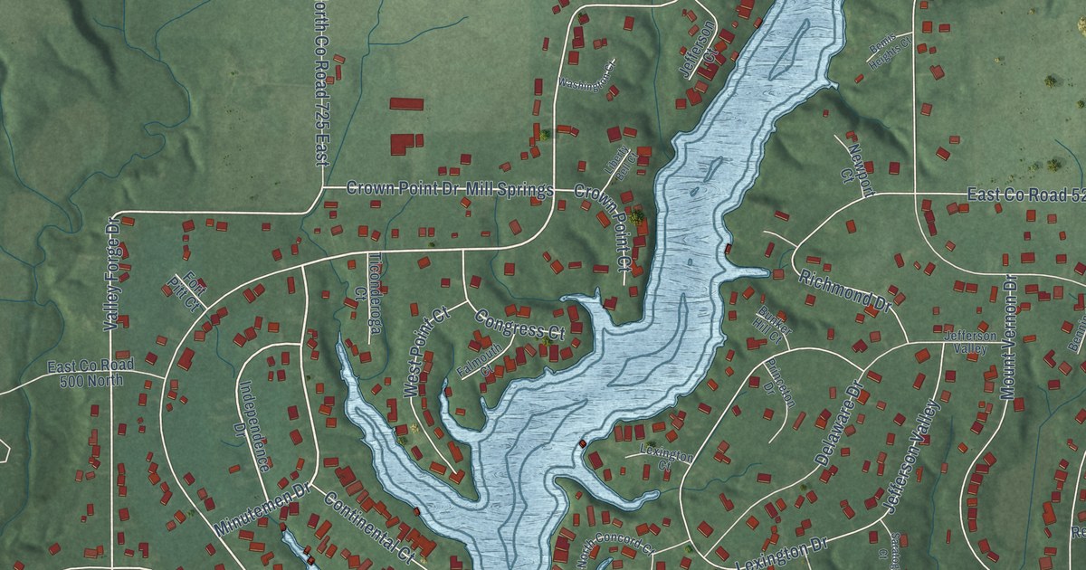
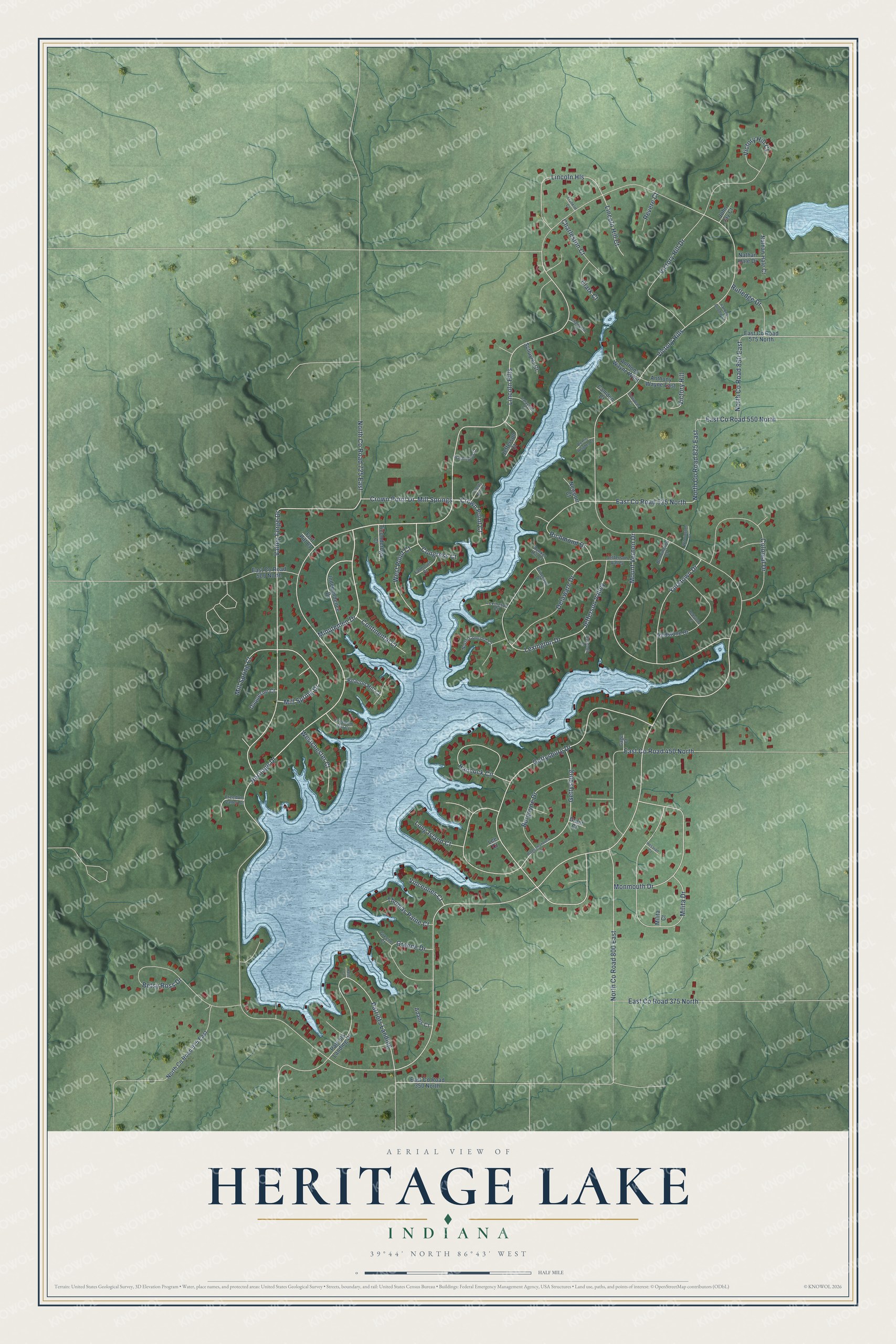
This beautifully detailed map of Heritage Lake, Indiana was created in 2026 using aerial imagery combined with modern topographical, census, street and landmark data. It's a modern aerial view of Heritage Lake in Putnam County, Indiana, that combines modern data with a vintage aesthetic. The roads feature printed names, and if you look closely you can find your exact house accurately shown in its correct location.
Explore an aerial view of Heritage Lake, Indiana
On this map you'll find Mill Springs, Minutemen Drive, Lincoln Hills, Mill Spring Drive, Gettysburg, Gettysburg Drive, Vincennes Court, Patriots Landing, Crown Point Drive, Monmouth Drive, Jefferson Valley, Valley Forge Drive, and more. Each red shape is a building, so zoom in on the preview and look for yours.
Heritage Lake is a community in Putnam County. The Census Bureau counted 3,012 people here in 2020. Heritage Lake sits about 2 miles southeast of Groveland, 4 miles northwest of Coatesville and 5 miles northeast of Fillmore. The map prints the town name in its title panel, with the coordinates below it.
Take a closer look at the Heritage Lake map
Names on this map
These names are printed on this map.
Streets and roads: Mill Springs, Minutemen Drive, Lincoln Hills, Mill Spring Drive, Gettysburg, Gettysburg Drive, Vincennes Court, Patriots Landing, Crown Point Drive, Monmouth Drive, Jefferson Valley, Valley Forge Drive.
More street names, A to Z
Adams Court, Anthony Wayne East, Anthony Wayne West, Beacon Hill Court, Bemis Heights Court, Bennington Court, Betsy Ross Drive, Bunker Hill Court, Burgoyne Drive, Camden Court, Champlain Court, Charleston Court, Clark Court, Colonial Drive, Congress Court, Continental Court, Cowpens Court, Crown Point Court, Delaware Drive, Duquesne Court, East County Road 350 North, East County Road 375 North, East County Road 450 North, East County Road 500 North, East County Road 525 North, East County Road 550 North, East County Road 575 North, Falmouth Court, Fort Pitt Court, Franklin Court, Freedom Hill Court, Freedom Valley Court, Gage Court, Grant Court, Greene Court, Greene Drive, Hancock Circle, Heritage Drive, Hessian Court, Independence Drive, Jefferson Court, John Jay Court, Lafayette Court, Lee Court, Lexington Court, Lexington Drive, Liberty Bell Court, Lincoln Hill Court, Lincoln Hls, Long Island Court, Milita Court, Milita Drive, Mill Spring Court, Mount Vernon Drive, Nathan Hale Court, Nathan Hale Drive, Newport Court, North Concord Court, North County Road 675 East, North County Road 725 East, North County Road 800 East, North County Road 825 East, North County Road 850 East, Patriots Landing Drive, Princeton Drive, Ralls Court, Rappahannock Drive, Redstone Court, Redstone Drive, Revere Court, Richmond Drive, Rutledge Drive, Saratoga Court, Schuyler Court, Thomas Paine Court, Ticonderoga Court, Victory Hill, Victory Hill Court, Victory Hill Drive, Victory Hills, Washington Court, Westchester Court, West Point Court, Wilmington Court, Yankee Doodle Court, Yorktown Drive.
See it on a wall
The Heritage Lake map as a framed print. Swipe for more.


Created by KNOWOL in 2026. The buildings are small red shapes, the roads carry their printed names, and shaded relief shows the shape of the land. The title panel reads "AERIAL VIEW OF HERITAGE LAKE, INDIANA" with 39°44' NORTH 86°43' WEST.
Hang it in the hallway, the office or the cabin, or give it to someone who left Heritage Lake and still calls it home. Open the preview and look for a street you know. See sizes and frames for the Heritage Lake map.