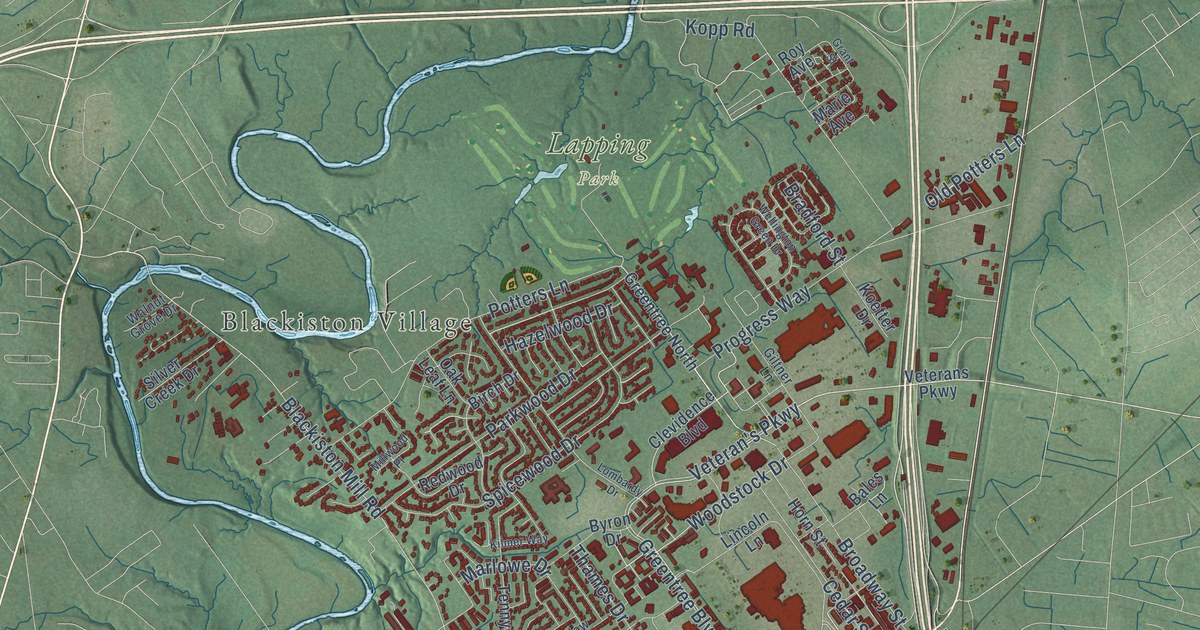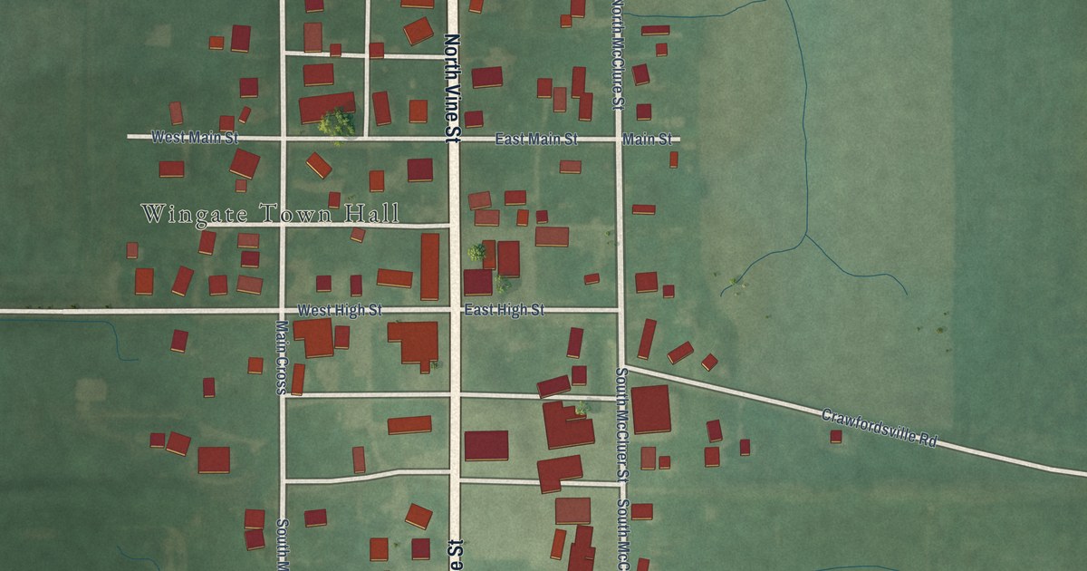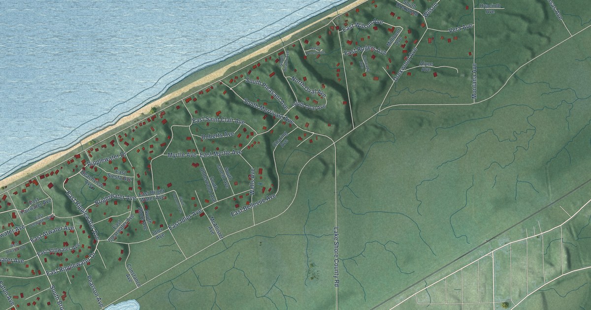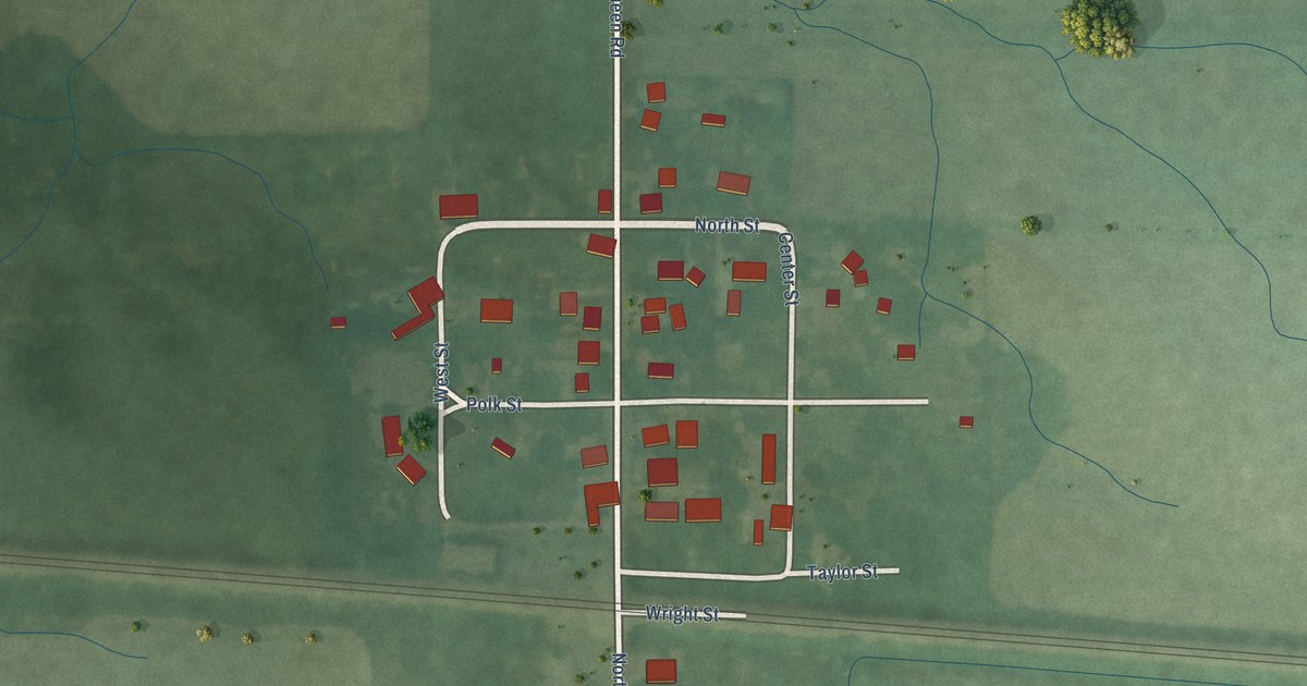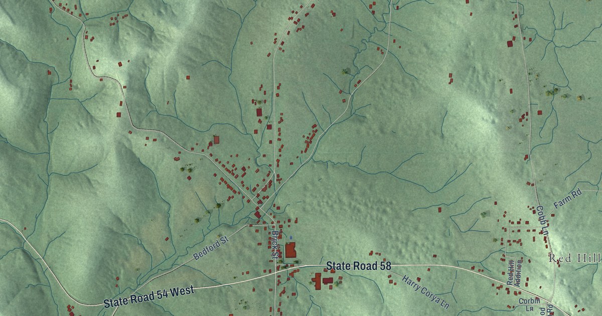
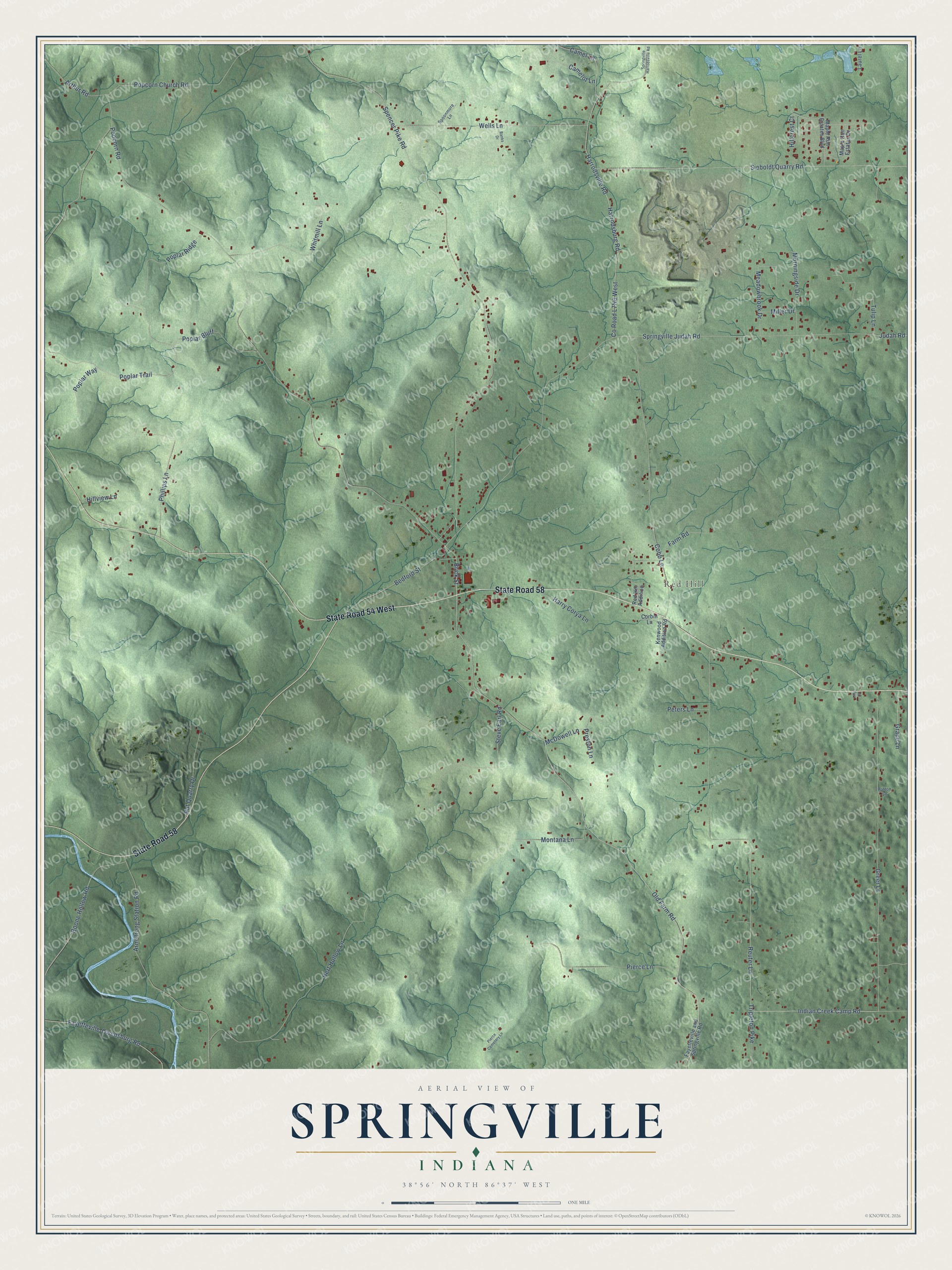
This beautifully detailed map of Springville, Indiana was created in 2026 using aerial imagery combined with modern topographical, census, street and landmark data. It’s a one-of-a-kind view of Springville that combines accurate data with a vintage aesthetic. The map shows every building in its true location, many of the roads carry their names, and the shaded topographic relief shows the shape of the land.
Explore an aerial view of Springville, Indiana
On the map you’ll find Red Hill, along with State Road 58, State Road 54 West, Poplar Trail, Brick Street, Grace Lane, Old Farm Road, Popcorn Road, Spencer Pike Road, Springville Judah Road, Reuter Lane, Popcorn Church Road, and more. If you look closely you can even find your house accurately drawn in its correct location. Zoom in on the preview to look for yours.
Did You Know?
From Internet Archive: "The village of Springville with its stockade, Fort Steu- 230 EARLY SETTLEMENTS 281 ben, and its company of soldiers, was most attractive to these new settlers."
Springville is a community in Lawrence County.
Take a closer look at the Springville map
Names on this map
These names are printed on this map.
Places: Red Hill.
Streets and roads: State Road 58, State Road 54 West, Poplar Trail, Brick Street, Grace Lane, Old Farm Road, Popcorn Road, Spencer Pike Road, Springville Judah Road, Reuter Lane, Popcorn Church Road, Harrodsburg Road.
More street names, A to Z
Armstrong Station Road, Arthur Road, Banks Drive, Bedford Street, Boone Hollow Road, Camel Lane, Camelot Lane, Cobb Lane, Corbin Lane, Farm Road, Fayetteville-Owensburg Road, Fayetteville and Springville Road, Greer Lane, Harrodsville Road, Harry Corya Lane, Hert Hollow Lane, Hillcrest Court, Hillview Lane, Indian Creek Camp Road, Judah Road, Kenwood Addition Road, Laurel Lane, Lilly Lane, Maple Run Estates Boulevard, Maple Run Estates Drive, McDowell Lane, Meadowbrook Drive, Miller Drive, Montana Lane, Morningside Drive, Patton Lane, Peters Lane, Phillips Lane, Pierce Cemetery Lane, Pierce Lane, Poplar Bluff, Poplar Ridge, Poplar Way, Preston Lane, Put Quarry Drive, Red Hill Addition, Sieboldt Quarry Road, Spoonmore Lane, Springville Harrodsville Road, Steve Earl Road, Tripleton Pike, Tulip Lane, Wells Lane, Whitmill Lane.
See it on a wall
The Springville map as a framed print. Swipe for more.


This beautifully detailed map of Springville makes an attractive addition to your office, library, or den, and it can even be used to teach children the geography and history of the area. It also makes a great gift for someone who left Springville and still calls it home. When you’re done exploring, click here to get your copy of the Springville map.