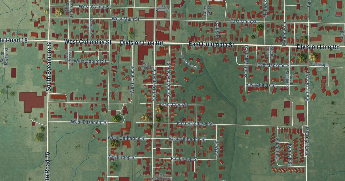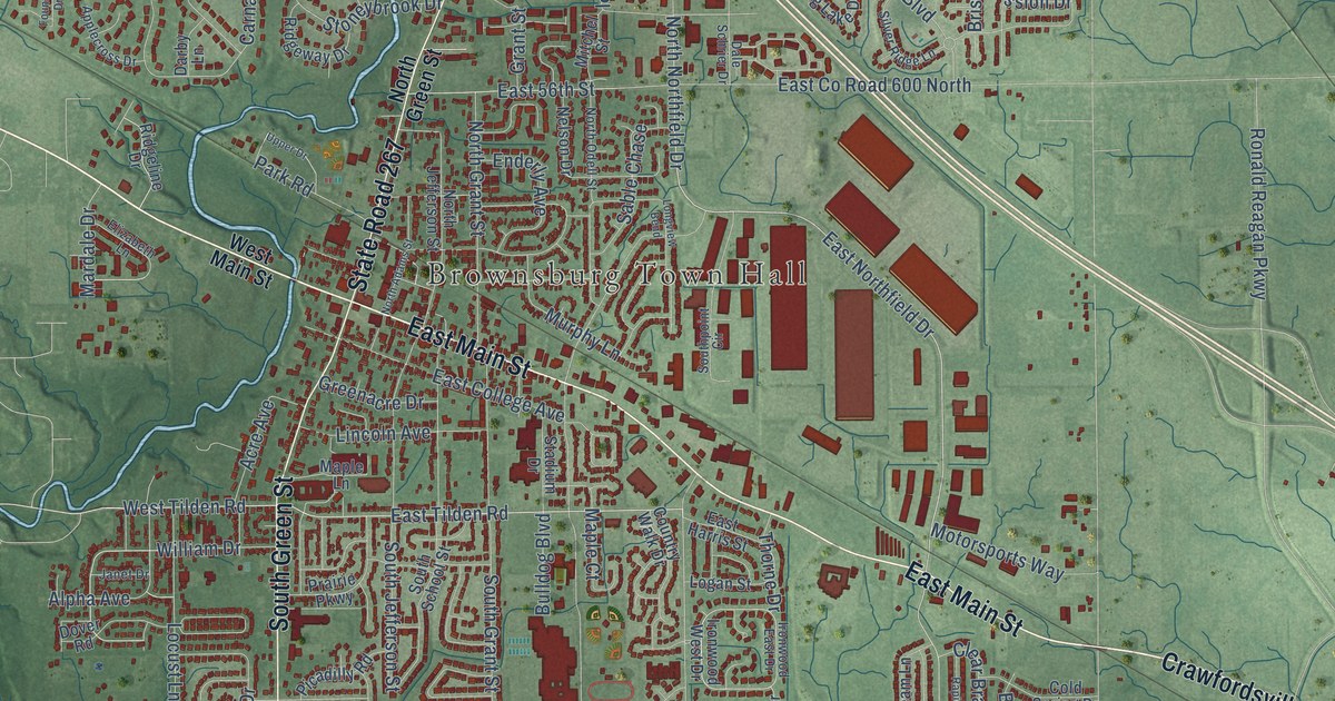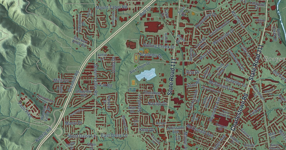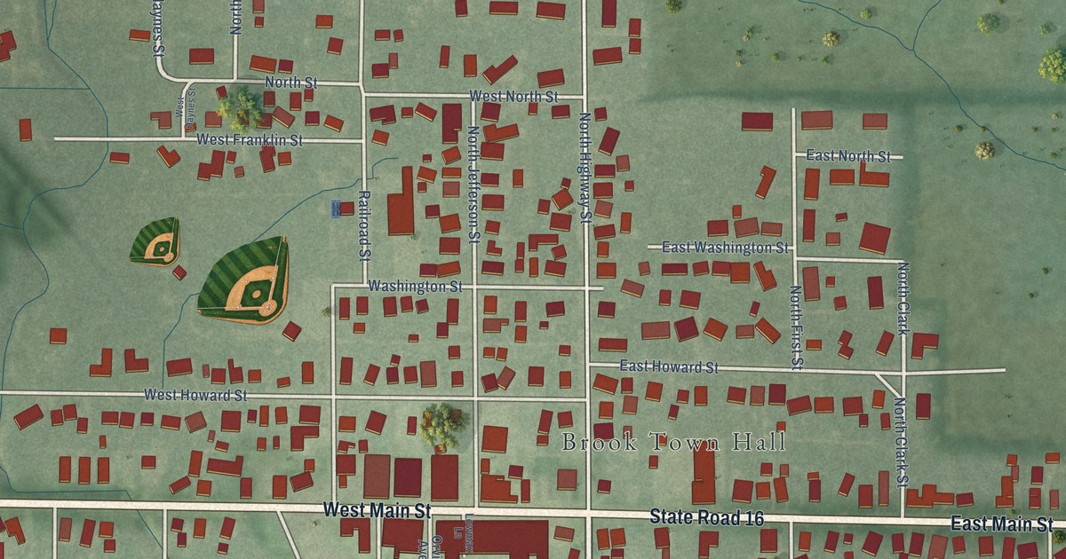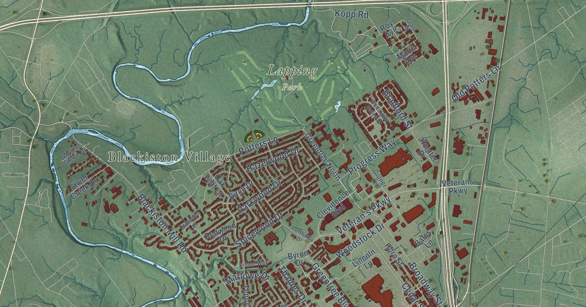
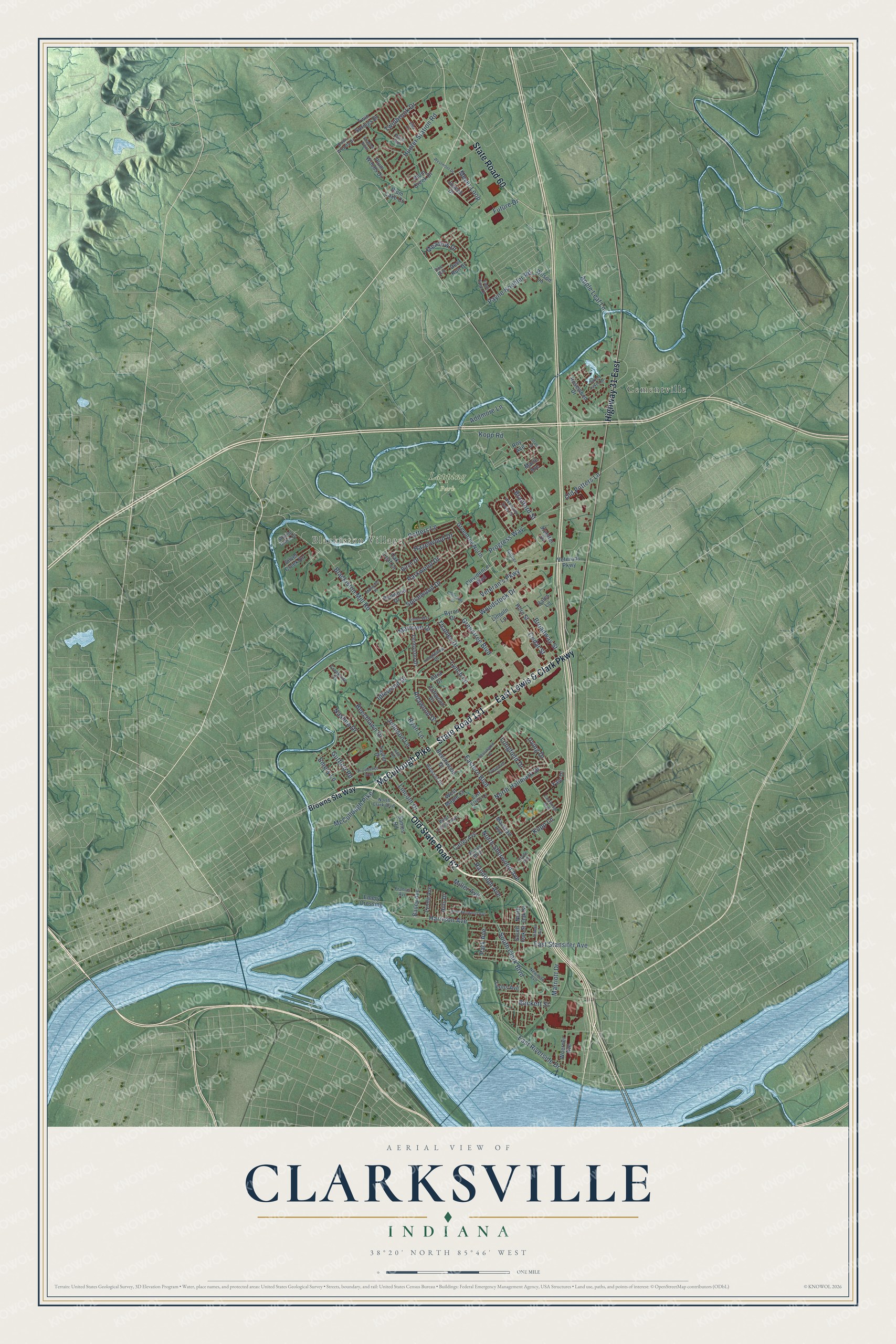
This beautifully detailed map of Clarksville, Indiana was created in 2026 using aerial imagery combined with modern topographical, census, street and landmark data. It’s a one-of-a-kind view of Clarksville that combines accurate data with a vintage aesthetic. The map shows every building in its true location, many of the roads carry their names, and the shaded topographic relief shows the shape of the land.
Explore an aerial view of Clarksville, Indiana
On the map you’ll find Blackiston Village, Lapping Park, Cementville, and Old State Road 62, along with State Road 131, East Lewis & Clark Parkway, McCullough Pike, State Road 60, Highway 31 East, Veteran’s Parkway, Harrison Avenue, Woodstock Drive, and more. If you look closely you can even find your house accurately drawn in its correct location. Zoom in on the preview to look for yours.
Did you know this piece of Clarksville, Indiana history?
From the Indiana Historical Bureau: "Near this site on October 26, 1803, Meriwether Lewis and William Clark with the nucleus of the Corps of Discovery together set off down the Ohio River on their epic journey to explore the Louisiana Purchase and Pacific Northwest."
Take a closer look at the Clarksville map
Street and place names on the Clarksville, Indiana map
These names are printed on the map of Clarksville, Indiana.
Places: Blackiston Village, Lapping Park and Cementville.
Streets and roads: Old State Road 62, State Road 131, East Lewis & Clark Parkway, McCullough Pike, State Road 60, Highway 31 East, Veteran's Parkway, Harrison Avenue, Woodstock Drive, Greentree Boulevard, East Riverside Drive, Blackiston Mill Road.
More street names, A to Z
Addmore Lane, Altawood Drive, Altra Drive, Apple Leaf Lane, Bailey Avenue, Bales Lane, Beckett Street, Beechlawn Drive, Beechwood Drive, Birch Drive, Bowne Boulevard, Bradford Street, Broadway Street, Browns Sta Way, Byron Drive, Cambridge Boulevard, Carter Avenue, Cedar Street, Clevidence Boulevard, Cliftwood Drive, Clyde Avenue, Creekside Drive, Deer Run Drive, Doe Run, Dovir Woods Drive, Eagle Ridge Drive, Eastern Boulevard, East Ettels Lane, East Stansifer Avenue, Emery Crossing, Emery Lane, Evergreen Drive, Francis Avenue, Future Drive, Giltner Lane, Grant Street, Greentree North, Gutford Road, Hale Road, Hazelwood Drive, Hibiscus Drive, Hills Drive, Horn Street, Hunter Station Road, Idlewood Drive, Irving Drive, Johnson Lane, Joseph Drive, Kensington Drive, Kilmer Way, Koetter Drive, Kopp Lane, Kopp Road, Lincoln Drive, Lincoln Lane, Lombardy Drive, Longfellow Drive, Longfield Drive, Lynch Lane, Lynda Avenue, Lyons Avenue, Marie Avenue, Marlowe Drive, Marriott Drive, Marshall Avenue, Meadow Drive, Meyer Loop, Miller Avenue, Millwood Place, Nashua Drive, Newman Avenue, North Clark Boulevard, North Hallmark Drive, North Oak Street, North Sherwood Avenue, Oak Leaf Lane, Old Potters Lane, Park Avenue, Parkwood Drive, Payne Koehler Road, Plum Creek Drive, Plum Lake Court, Plum Run, Plum Woods Drive, Potters Lane, Progress Way, Providence Way, Randolph Avenue, Redwood Drive, Rosewood Drive, Roy Avenue, Ryan Lane, Sames Road, Shadow Point, Silver Creek Drive, Silver Lakes Drive, South Clark Boulevard, South Oak Street, Spicewood Drive, Sunset Avenue, Taylor Drive, Tennyson Drive, Thames Drive, Twinbrook Drive, Twin Springs Drive, Veterans Parkway, Villa Circle, Walnut Grove Drive, Wellington Green Drive, West Kenwood Avenue, West Lincoln Avenue, West Maple Court, Westmont Drive, Wilson Lane, Woerner Avenue, Yale Drive.
See the Clarksville, Indiana map on a wall
The Clarksville map as an 18 x 24 inch print in a black frame.

This beautifully detailed map of Clarksville makes an attractive addition to your office, library, or den, and it can even be used to teach children the geography and history of the area. It also makes a great gift for someone who left Clarksville and still calls it home. When you’re done exploring, click here to get your copy of the Clarksville map.