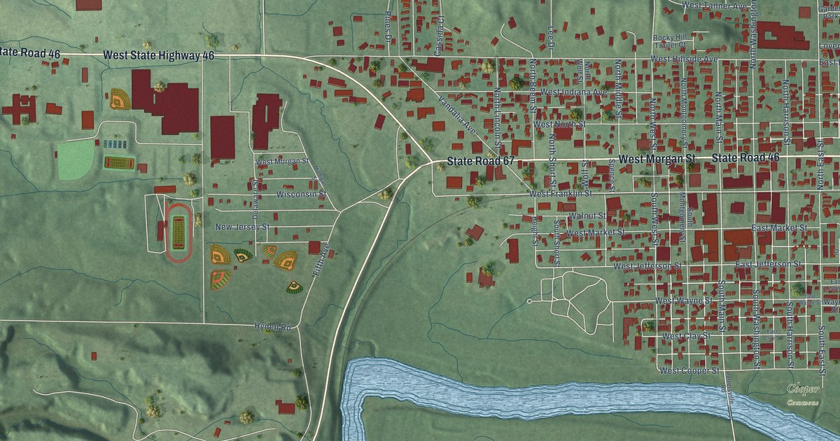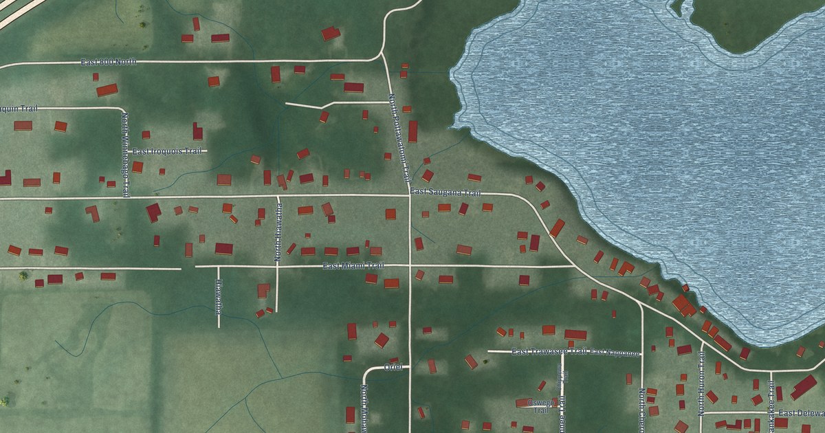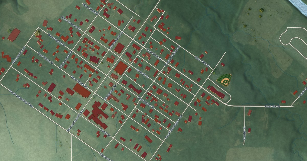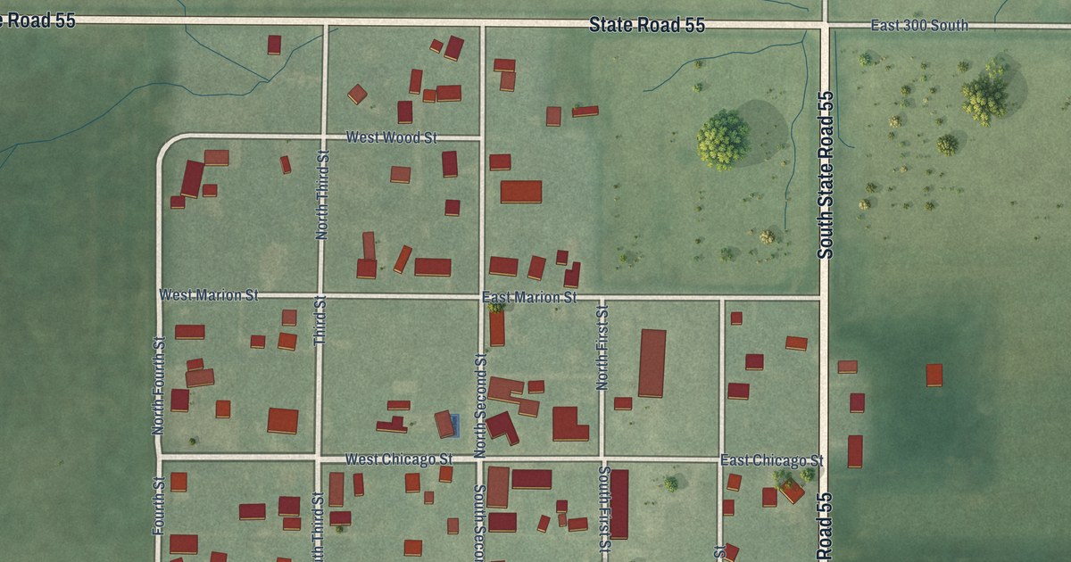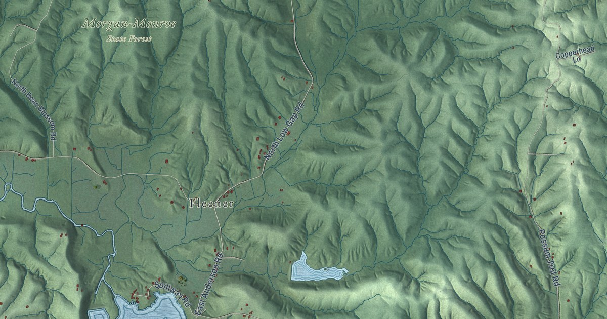
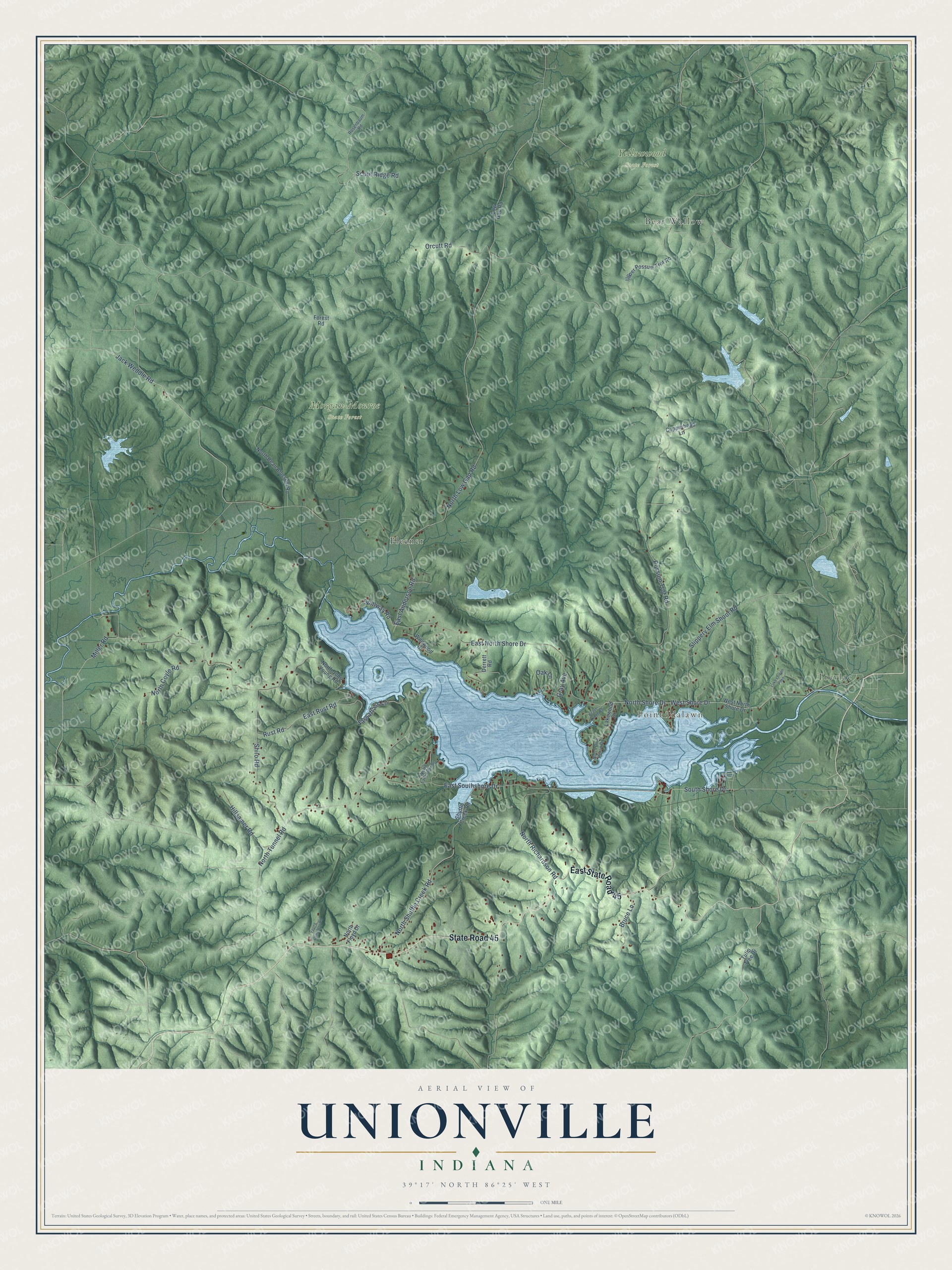
This beautifully detailed map of Unionville, Indiana was created in 2026 using aerial imagery combined with modern topographical, census, street and landmark data. It’s a one-of-a-kind view of Unionville that combines accurate data with a vintage aesthetic. The map shows every building in its true location, many of the roads carry their names, and the shaded topographic relief shows the shape of the land.
Explore an aerial view of Unionville, Indiana
On the map you’ll find Point Idalawn, Morgan-Monroe State Forest, Yellowwood State Forest, Trevlac, Fleener, Bear Wallow, and East State Road 45, along with State Road 45, South Shore Drive, North Low Gap Road, East North Shore Drive, Jack Weddle Road, and more. If you look closely you can even find your house accurately drawn in its correct location. Zoom in on the preview to look for yours.
Did You Know?
From the 1884 History of Lawrence, Orange, and Washington Counties, Indiana: "The district school at Lomax's place east of Unionville, was established about 1840."
Unionville is a community in Monroe County.
Take a closer look at the Unionville map
Names on this map
These names are printed on this map.
Places: Point Idalawn, Morgan-Monroe State Forest, Yellowwood State Forest, Trevlac, Fleener and Bear Wallow.
Streets and roads: State Road 45, East State Road 45, South Shore Drive, North Low Gap Road, East North Shore Drive, Jack Weddle Road, East Anderson Road, Possum Trot Road, Shilo Road, North Tunnel Road, North Shore Drive, West Shore Drive.
More street names, A to Z
Beaver Lodge Road, Bruce Lane, Copperhead Lane, Derrett Road, East Rust Road, East Southshore Drive, Forest Road, Gray Avenue, Hillsamer Road, Lake Lemon Pnes, Lakewood Drive, Low Gap Road, Miller Road, North Bean Blossom Road, North Blue Heron Drive, North Coyle Road, North Floyd Drive, North John Young Road, North Lakeview Drive, North Richardson Road, North Shuffle Creek Road, Oak Lane, Orcutt Road, Rosenbaum Road, Rust Road, Sassafrass Lane, Scout Ridge Road, Shuffle Creek Road, Slippery Elm Shoot Road, Spillway Road, Tulip Tree Drive, Upper Possum Trot Road, West North Shore Drive, Wildwood Drive, Young Cemetery Road.
See it on a wall
The Unionville map as a framed print. Swipe for more.


This beautifully detailed map of Unionville makes an attractive addition to your office, library, or den, and it can even be used to teach children the geography and history of the area. It also makes a great gift for anyone with Unionville roots. When you’re done exploring, click here to get your copy of the Unionville map.