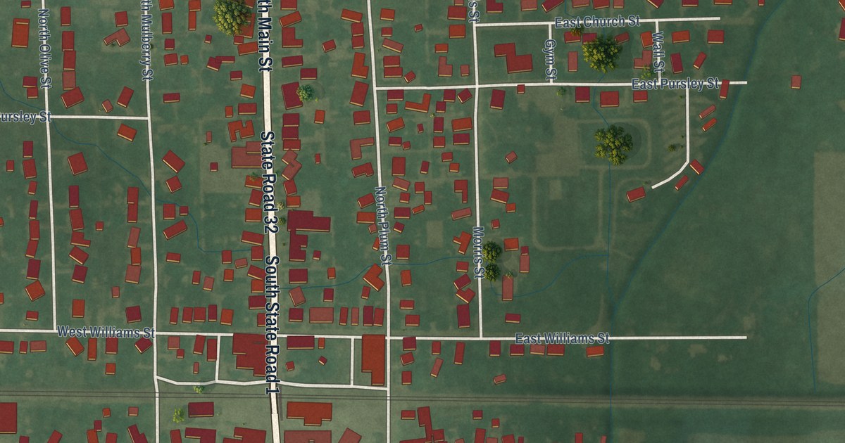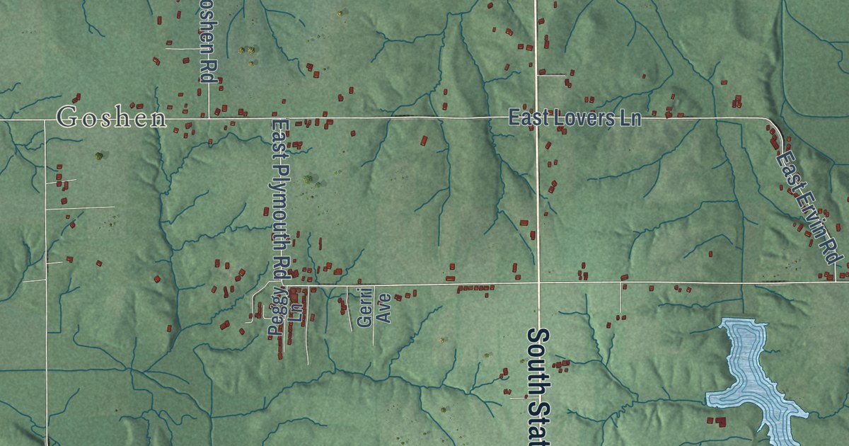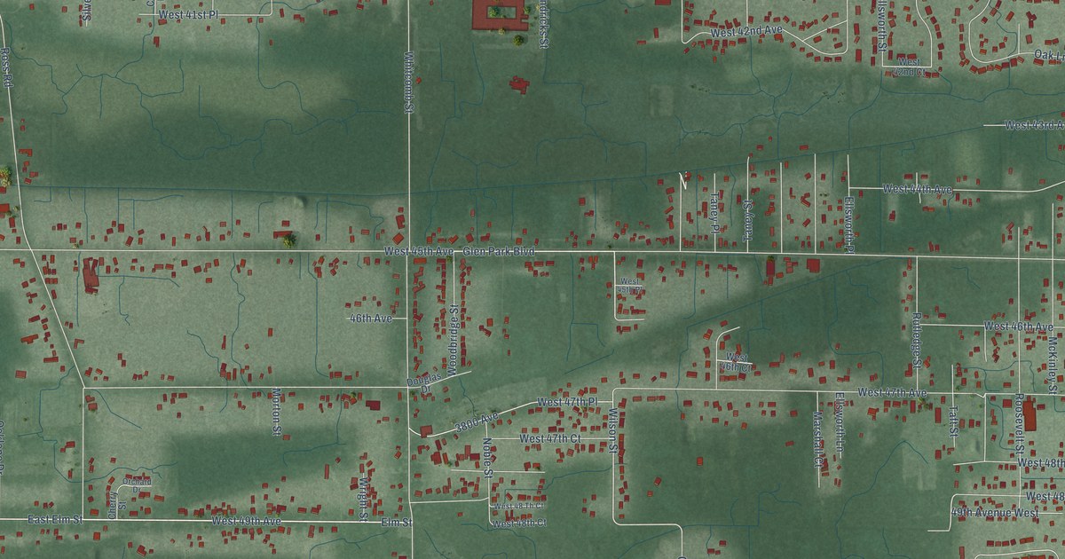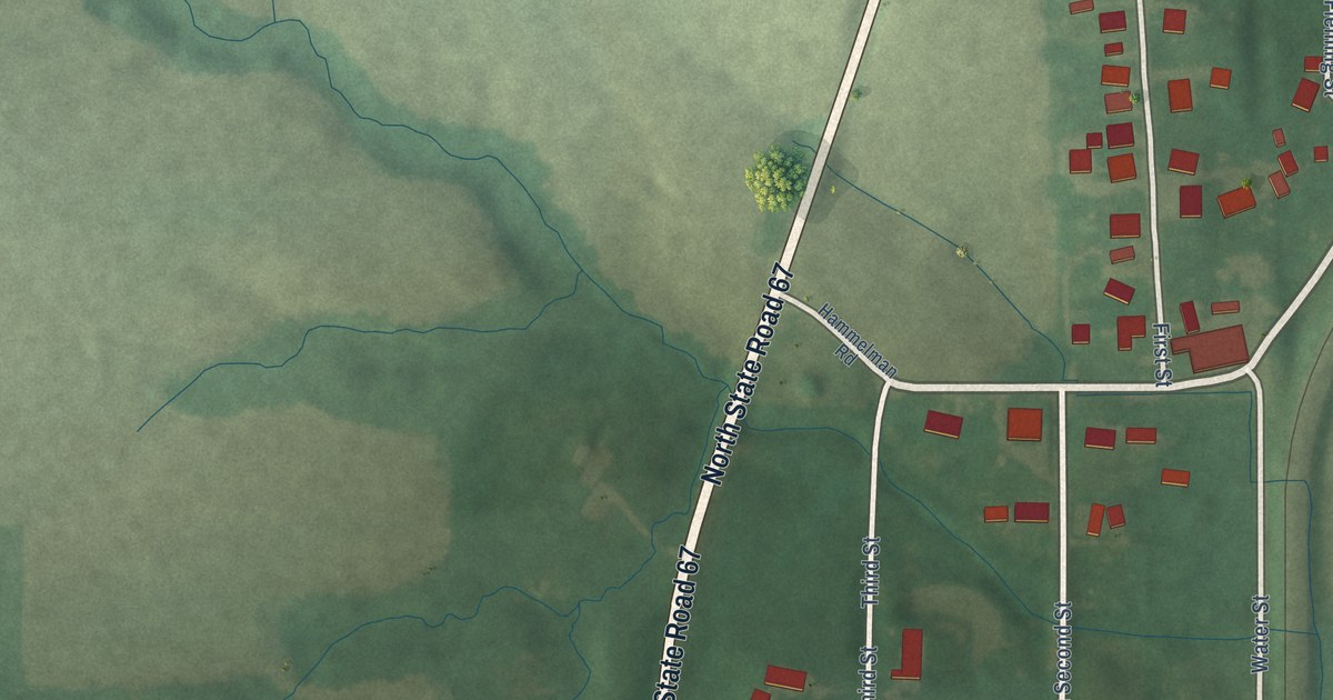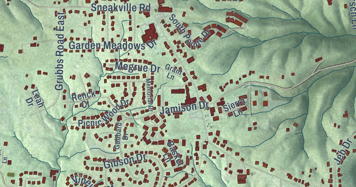
This beautifully detailed map of Bright, Indiana was created in 2026 using aerial imagery combined with modern topographical, census, street and landmark data. It’s a one-of-a-kind view of Bright that combines accurate data with a vintage aesthetic. The map shows every building in its true location, many of the roads carry their names, and the shaded topographic relief shows the shape of the land.
Explore an aerial view of Bright, Indiana
On the map you’ll find Salt Fork Road, Jamison Road, Blasdel Drive, Jackson Ridge Road, Gibson Drive, Pontiac Drive, Jamison Drive, Henderson Road, State Line Road, North Dearborn Road, Sneakville Road, Morgan Road, and more. If you look closely you can even find your house accurately drawn in its correct location. Zoom in on the preview to look for yours.
Did you know this piece of Bright, Indiana history?
From the History of Dearborn County Indiana: "At Bright is a vigorous organization of the Presbyterian church, which was commenced as early as 1831."
Take a closer look at the Bright map
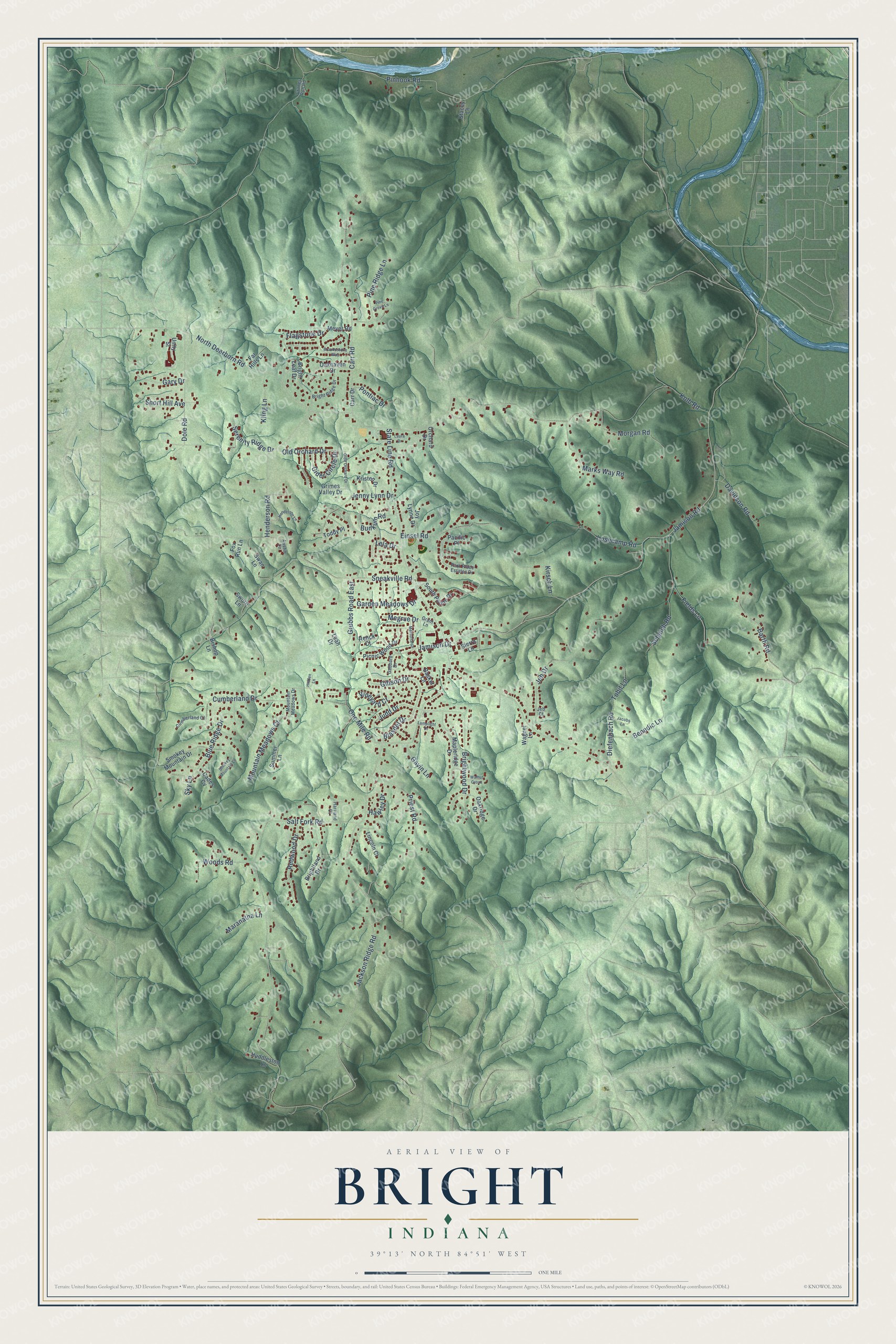
Street names on the Bright, Indiana map
These names are printed on the map of Bright, Indiana.
Streets and roads: Salt Fork Road, Jamison Road, Blasdel Drive, Jackson Ridge Road, Gibson Drive, Pontiac Drive, Jamison Drive, Henderson Road, State Line Road, North Dearborn Road, Sneakville Road, Morgan Road.
More street names, A to Z
Austin Lane, Barth Road, Basket Lane, Benedic Lane, Bishop Lane, Blue Ridge Drive, Brightland Drive, Bright Leaf Drive, Bright Ridge Drive, Brightwood Drive, Brookestone Way, Bunkum Road, Cades Cv, Carr Drive, Carr Road, Cider Circle Drive, Cranes Run Road, Cumberland Court, Cumberland Drive, Davidson Road, Diefenbach Road, Dole Road, Einsel Road, Far Hills Lane, Fields Lane, Flagstone Drive, Fox Run Lane, Gabbard Drive, Garden Meadows Drive, Gary Drive, Gavin Lane, Grant Lane, Grimes Valley Drive, Grubbs Road East, Hartland Court, Hawley Drive, Henderson Lane, Hidden Lane, Huddleston Lane, Jacobs Lane, Jeb Court, Jeb Drive, Jenny Lynn Drive, Joy Lynne Drive, Judd Drive, Kirsch Lane, Kling Lane, Kolb Road, Kristen Drive, Lamplight Drive, Laura Drive, Leah Drive, Lela Drive, Lincoln Court, Losecamp Road, Mapleridge Drive, Maranatha Lane, Marks Way Road, Megrue Drive, Memorial Drive, Meyer Road, Mountain Meadows Court, Mountain Meadows Drive, Oakhaven Drive, Oakridge Drive, Olde Orchard Drive, Old Orchard Drive, One Mile Road, Orchard Drive, Pacific Place, Park Place Estates Drive, Picnic Wood Drive, Pine Grove Lane, Pine Ridge Lane, Pinhook Road, Priest Road, Redwood Drive, Renck Court, Schaich Road, Serenity Ridge Drive, Short Hill Avenue, Sierra Lane, Sky Lane, Smokey Mountain Drive, Smokey Mountain Lane, South Pointe Drive, Stacey Lane, Summer Lane, Swan Lane, Sworn Lane, Tobit Lane, Toddy Place, Unity Street, Vineyard Court, Wagner Lane, Walnut Grove, Woods Road.
See the Bright, Indiana map on a wall
The Bright map as an 18 x 24 inch print in a black frame.

This beautifully detailed map of Bright makes an attractive addition to your office, library, or den, and it can even be used to teach children the geography and history of the area. It also makes a great gift for someone who left Bright and still calls it home. When you’re done exploring, click here to get your copy of the Bright map.