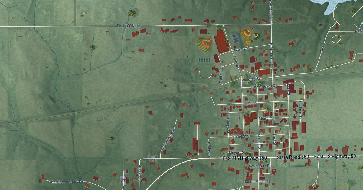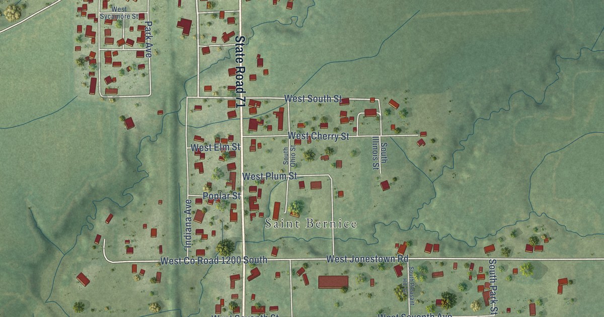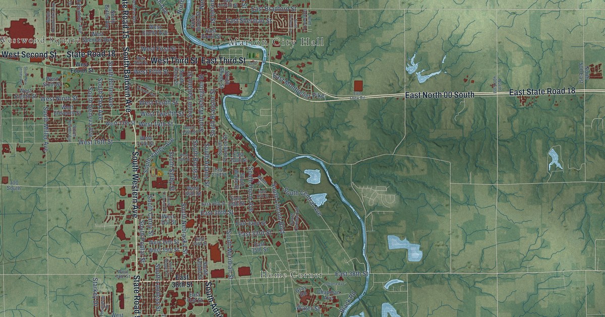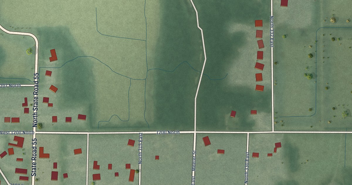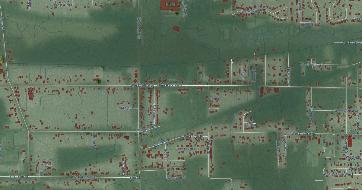
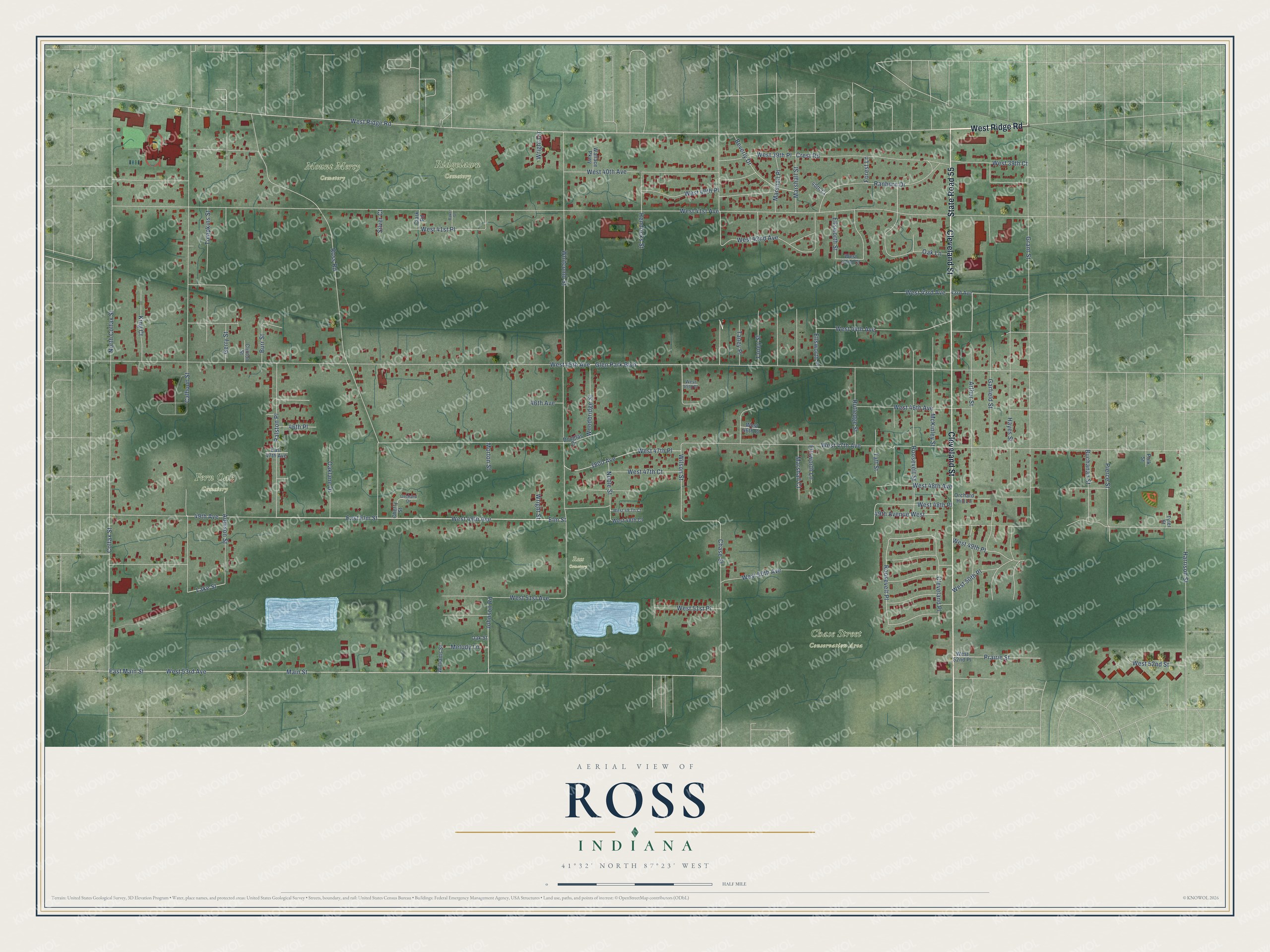
This beautifully detailed map of Ross, Indiana was created in 2026 using aerial imagery combined with modern topographical, census, street and landmark data. It's a modern aerial view of Ross in Lake County, Indiana, that combines modern data with a vintage aesthetic. The roads feature printed names, and if you look closely you can find your exact house accurately shown in its correct location.
Explore an aerial view of Ross, Indiana
On this map you'll find Chase Street Conservation Area, Fern Oak Cemetery, Mount Mercy Cemetery, Ridgelawn Cemetery, Ross Cemetery, West Ridge Road, State Road 55, Cleveland Street, West 44th Avenue, West 49th Avenue, Arthur Street, Elm Street, and more. Each red shape is a building, so zoom in on the preview and look for yours.
Ross is a community in Lake County. Ross sits about 3 miles east of Griffith, 4 miles south of Gary and 4 miles east of Highland. The map prints the town name in its title panel, with the coordinates below it.
Take a closer look at the Ross map
Names on this map
These names are printed on this map.
Places: Chase Street Conservation Area, Fern Oak Cemetery, Mount Mercy Cemetery, Ridgelawn Cemetery and Ross Cemetery.
Streets and roads: West Ridge Road, State Road 55, Cleveland Street, West 44th Avenue, West 49th Avenue, Arthur Street, Elm Street, West 48th Avenue, Lake Street, Wilson Street, Glen Park Boulevard, Roosevelt Place.
More street names, A to Z
40th Court, 43rd Avenue, 46th Avenue, 46th Place, 49th Avenue, 49th Avenue West, 3800 Avenue, Addison Street, Baker Street, Beverly Drive, Buchanan Street, Burr Street, Calhoun Street, Chase Street, Cherry Street, Clark Road, Cleveland Place, Clinton Street, Colfax Street, Crest Road, Douglas Drive, East 47th Avenue, East Elm Street, East Main Street, Ellsworth Lane, Ellsworth Place, Ellsworth Street, Forest Lane, Garfield Street, Gerry Street, Grant Street, Harrison Street, Hayes Street, Hendricks Street, Johnson Road, King Court, Main Street, Marshall Court, Marshall Place, Marshall Street, McKinley Street, Melody Lane, Morton Street, Noble Street, North Colfax Street, Oak Lane, Oaklane Drive, Oak Street, Orchard Drive, Orchard Hill Lane, Pierce Street, Polk Street, Prairie Street, Ralston Place, Ranburn Drive, Roosevelt Street, Ross Road, Rutledge Street, Silver Court, Taft Street, Taney Place, Taney Street, Tompkins Street, Tyler Street, Wallace Parkway, West 39th Court, West 39th Place, West 40th Avenue, West 40th Place, West 41st Avenue, West 41st Place, West 42nd Avenue, West 42nd Court, West 43rd Avenue, West 45th Avenue, West 45th Place, West 46th Avenue, West 46th Court, West 47th Avenue, West 47th Court, West 47th Place, West 48 Th Court, West 48th Court, West 48th Place, West 49th Place, West 50th Avenue, West 50th Place, West 51st Avenue, West 51st Place, West 52nd Place, West 52nd Street, West 53rd Avenue, Whitcomb Street, Williams Street, Woodbridge Street, Wright Circle, Wright Street.
See it on a wall
The Ross map as a framed print. Swipe for more.


Created by KNOWOL in 2026. The buildings are small red shapes, the roads carry their printed names, and shaded relief shows the shape of the land. The title panel reads "AERIAL VIEW OF ROSS, INDIANA" with 41°32' NORTH 87°23' WEST.
Hang it in the hallway, the office or the cabin, or give it to someone who left Ross and still calls it home. Open the preview and look for a street you know. See sizes and frames for the Ross map.