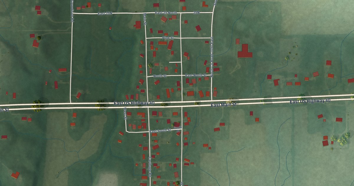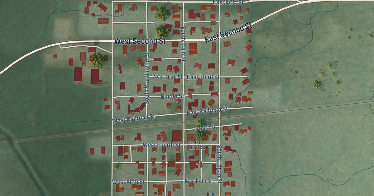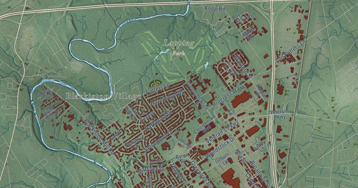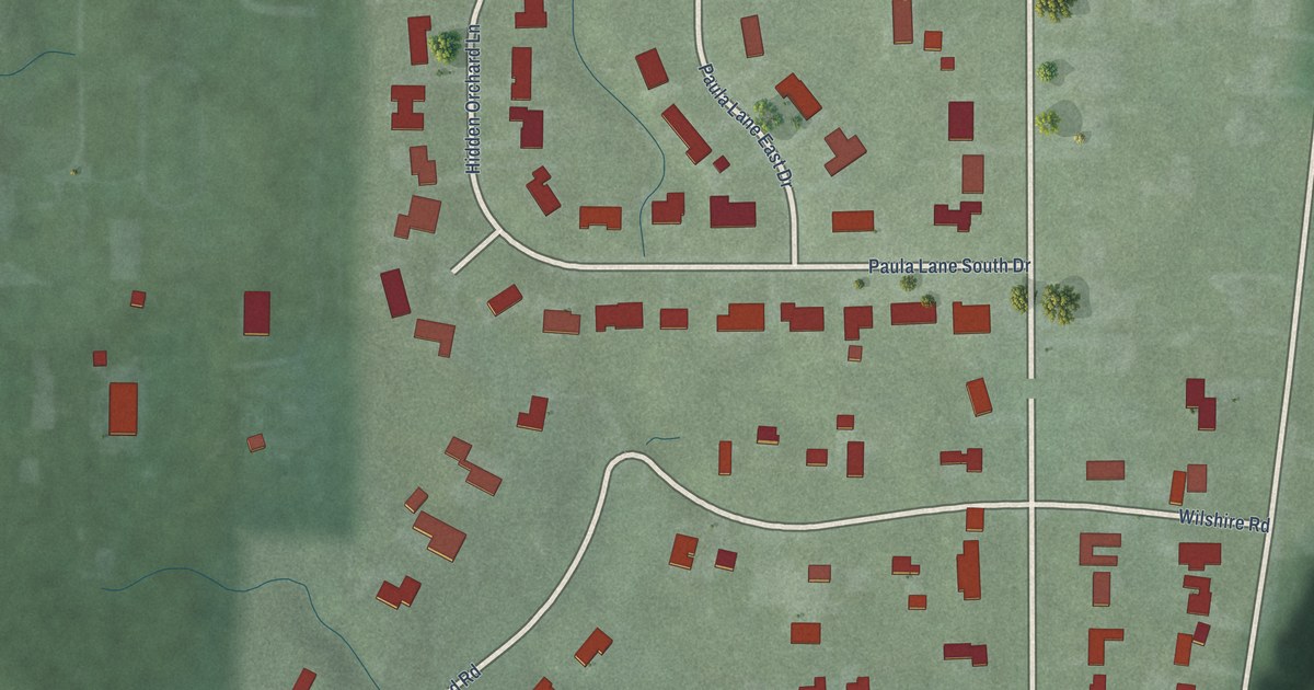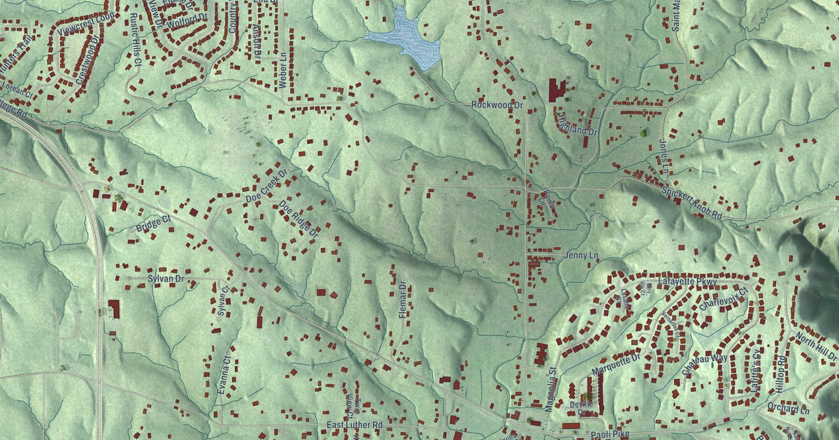
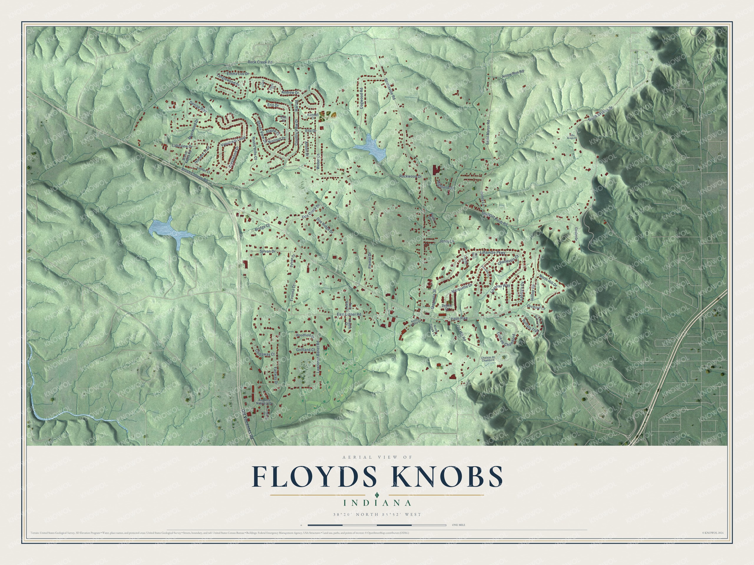
This beautifully detailed map of Floyds Knobs, Indiana was created in 2026 using aerial imagery combined with modern topographical, census, street and landmark data. It's a modern aerial view of Floyds Knobs in Floyd County, Indiana, that combines modern data with a vintage aesthetic. The roads feature printed names, and if you look closely you can find your exact house accurately shown in its correct location.
Explore an aerial view of Floyds Knobs, Indiana
On this map you'll find Pembroke Park, Paoli Pike, Country View Drive, North Hill Drive, Hilltop Road, Harold, Buck Creek Road, Brush College Road, Scottsville Road, Spickert Knob Road, Saint Marys Road, Lafayette Parkway, and more. Each red shape is a building, so zoom in on the preview and look for yours.
Floyds Knobs is a community in Floyd County. Floyds Knobs sits about 3 miles southeast of Galena, 4 miles northwest of New Albany and 5 miles northeast of Georgetown. The map prints the town name in its title panel, with the coordinates below it.
Take a closer look at the Floyds Knobs map
Names on this map
These names are printed on this map.
Places: Pembroke Park.
Streets and roads: Paoli Pike, Country View Drive, North Hill Drive, Hilltop Road, Harold, Buck Creek Road, Brush College Road, Scottsville Road, Spickert Knob Road, Saint Marys Road, Lafayette Parkway, East Luther Road.
More street names, A to Z
Andrew Drive, Anson Drive, Arrow Run Road, Augusta National Drive, Bridge Court, Buffalo Trail, Chalet Drive, Charlevoix Court, Chateau de Chambord, Chateau Way, Chipaway Court, Cote de Chambord, Crestwood Drive, Dalton Court, Denise Way, Deville Drive, Doe Creek Drive, Doe Ridge Drive, Dogwood Road, Elaine Drive, Ella Drive, Emma Lou Drive, Erin Court, Erin Drive, Evanna Court, Fairway Drive, Flemar Drive, Golfland Court, Haley Court, Highland Drive, Hunters Trail, Jenny Lane, John Wrege Road, Jones Lane, Kendall Court, Knable Court, Knob Creek Lane, Knobs Valley Drive, Lafitte's Cv, Lakeview Drive, Lasalle Court, Lawrence Banet Road, Lorean Court, Magnolia Street, Marquette Drive, Mirv Ille Court, Myerwood Drive, Old Hill Road, Old Vincennes Road, Orchard Lane, Pauls Lane, Rockwood Drive, Rustic Hills Court, Saint Number 20, Scenic Valley Road, Shady View Drive, South Skyline Drive, Sylvan Court, Sylvan Drive, Tanglewood Drive, Turnberry Drive, Twin View Court, Versailles Court, Viewcrest Loop, Weber Lane, Wolford Drive, Woodfield Drive.
See it on a wall
The Floyds Knobs map as a framed print. Swipe for more.


Created by KNOWOL in 2026. The buildings are small red shapes, the roads carry their printed names, and shaded relief shows the shape of the land. The title panel reads "AERIAL VIEW OF FLOYDS KNOBS, INDIANA" with 38°20' NORTH 85°52' WEST.
Hang it in the hallway, the office or the cabin, or give it to someone who left Floyds Knobs and still calls it home. Open the preview and look for a street you know. See sizes and frames for the Floyds Knobs map.