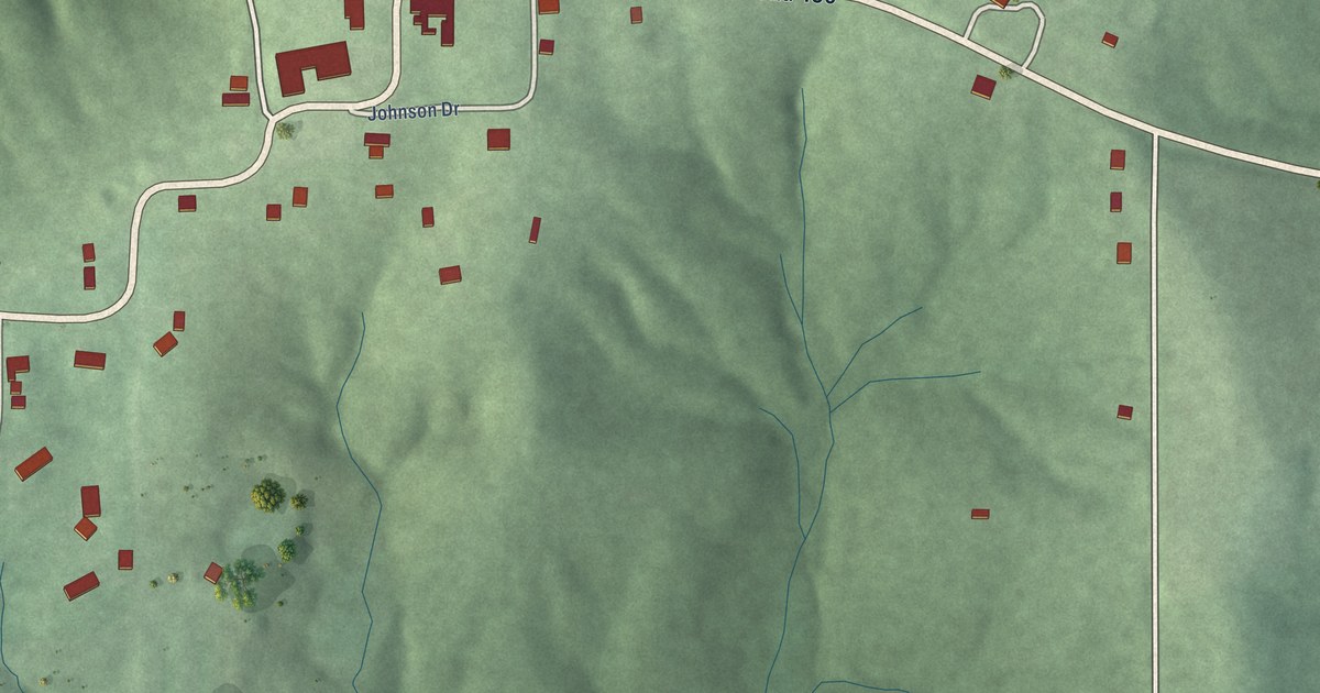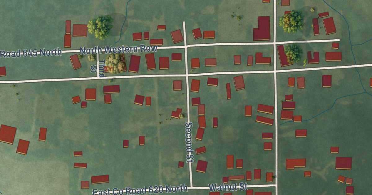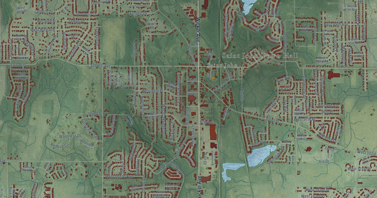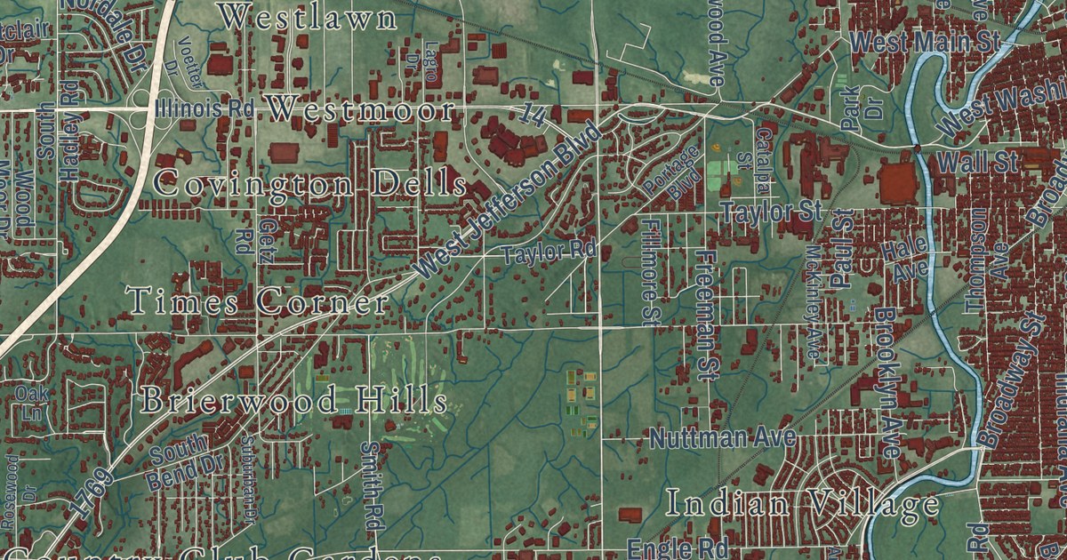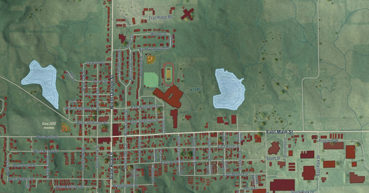
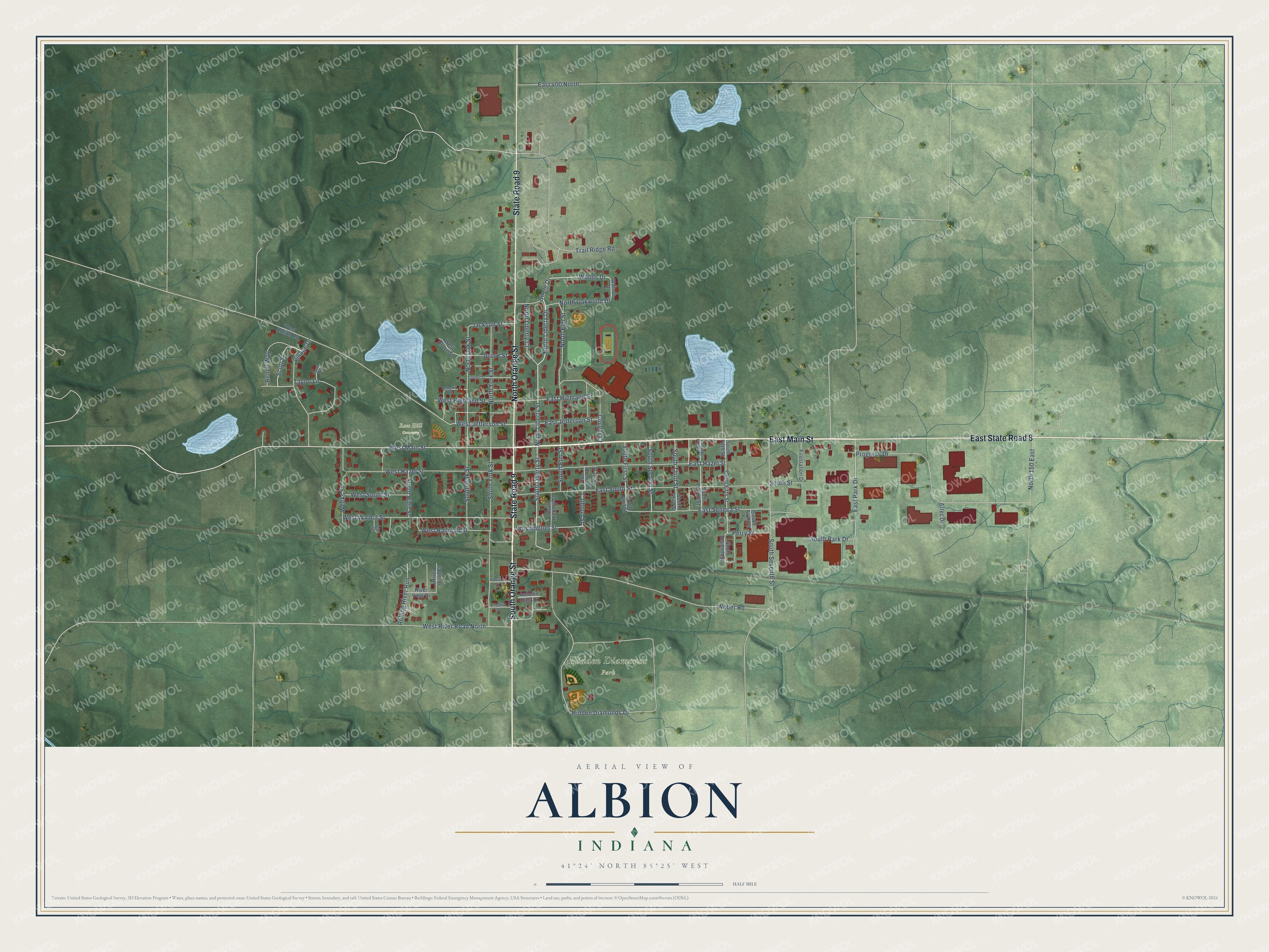
This beautifully detailed map of Albion, Indiana was created in 2026 using aerial imagery combined with modern topographical, census, street and landmark data. It’s a one-of-a-kind view of Albion that combines accurate data with a vintage aesthetic. The map shows every building in its true location, many of the roads carry their names, and the shaded topographic relief shows the shape of the land.
Explore an aerial view of Albion, Indiana
On the map you’ll find Hidden Diamonds Park, Rose Hill Cemetery, and East State Road 8, along with East Main Street, South Orange Street, State Road 9, North Orange Street, North Liberty Drive, North Liberty Street, South Liberty Street, Woods Drive, West Main Street, and more. If you look closely you can even find your house accurately drawn in its correct location. Zoom in on the preview to look for yours.
Did you know this piece of Albion, Indiana history?
From the Counties of LaGrange and Noble Indiana: "The construction of the Baltimore & Ohio Railroad through Albion, in 1874, has settled the question, and Albion will, without doubt, remain the county seat."
Take a closer look at the Albion map
Street and place names on the Albion, Indiana map
These names are printed on the map of Albion, Indiana.
Places: Hidden Diamonds Park and Rose Hill Cemetery.
Streets and roads: East Main Street, South Orange Street, State Road 9, North Orange Street, East State Road 8, North Liberty Drive, North Liberty Street, South Liberty Street, Woods Drive, West Main Street, East Park Drive, Renee Way.
More street names, A to Z
Autumn Hills Drive, Aztec Drive, Calhoun Street, Cherry Street, Chestnut Street, Circle Drive, Cougar Court, Diamond Street, East 400 North, East Hazel Street, East Highland Street, East Jefferson Street, East Seneca Street, East South Street, Faye Court, Firestation Drive, Grove Street, Harrison Street, Hidden Diamonds Drive, Jackson Street, North 150 East, North Elm Street, North Liberty Court, North Oak Street, North Oakwood Drive, North York Street, Ogle Street, Perry Street, Progress Drive, River View Drive, River Wind Court, Rolling River Run, Scott Street, South Elm Street, South Fifth Street, South First Street, South Fourth Street, South Hickory Street, South High Street, South Oak Street, South Park Drive, South Second Street, South Seventh Street, South Sixth Street, South Street, South Third Street, South York Street, Summit Street, Taylor Lane, Trail Ridge Road, Village Drive, Wall Street, Walnut Drive, Washington Street, Weber Road, Weeks Street, West Albion Road, West Grove Street, West Hazel Street, West Highland Street, West Jefferson Street, West Railroad Street, West River Road North, West South Street, West Walnut Street.
See the Albion, Indiana map on a wall
The Albion map as an 18 x 24 inch print in a black frame.

This beautifully detailed map of Albion makes an attractive addition to your office, library, or den, and it can even be used to teach children the geography and history of the area. It also makes a great gift for anyone who grew up in Albion or moved away. When you’re done exploring, click here to get your copy of the Albion map.