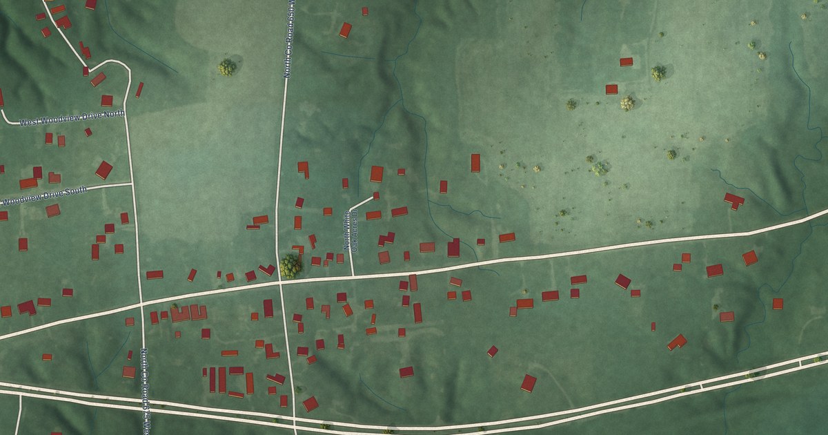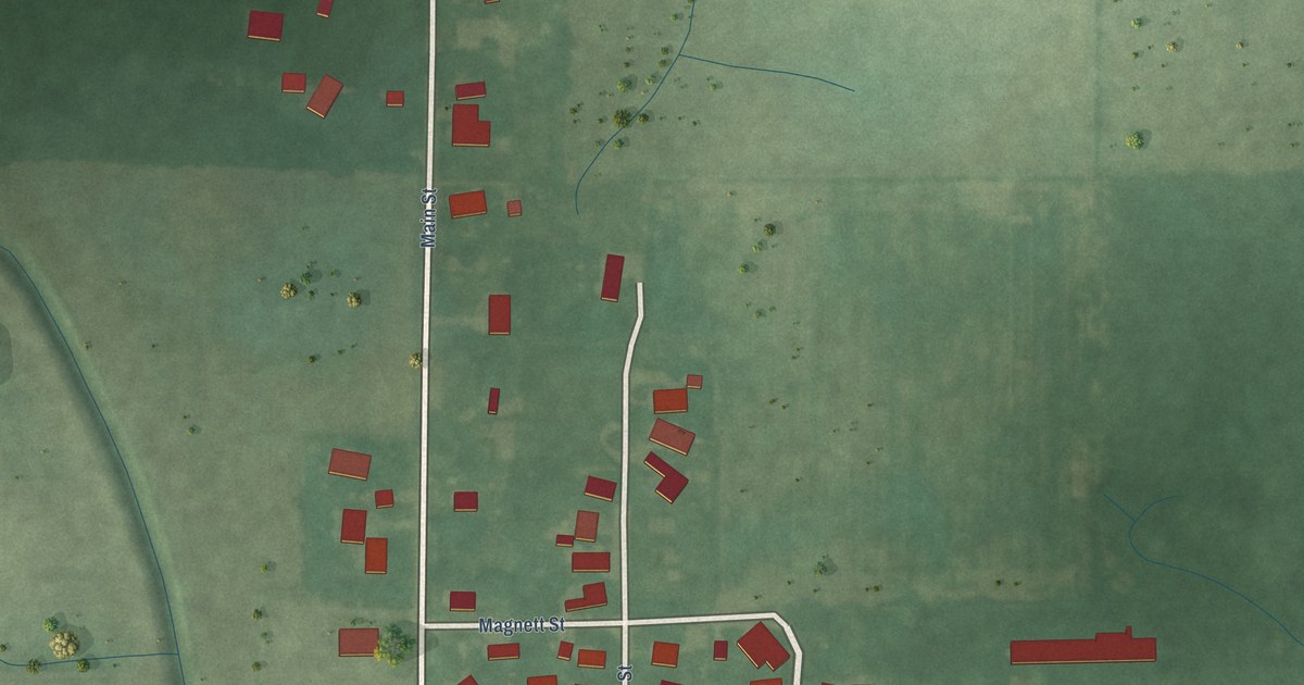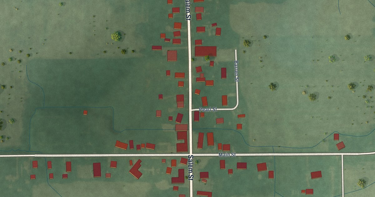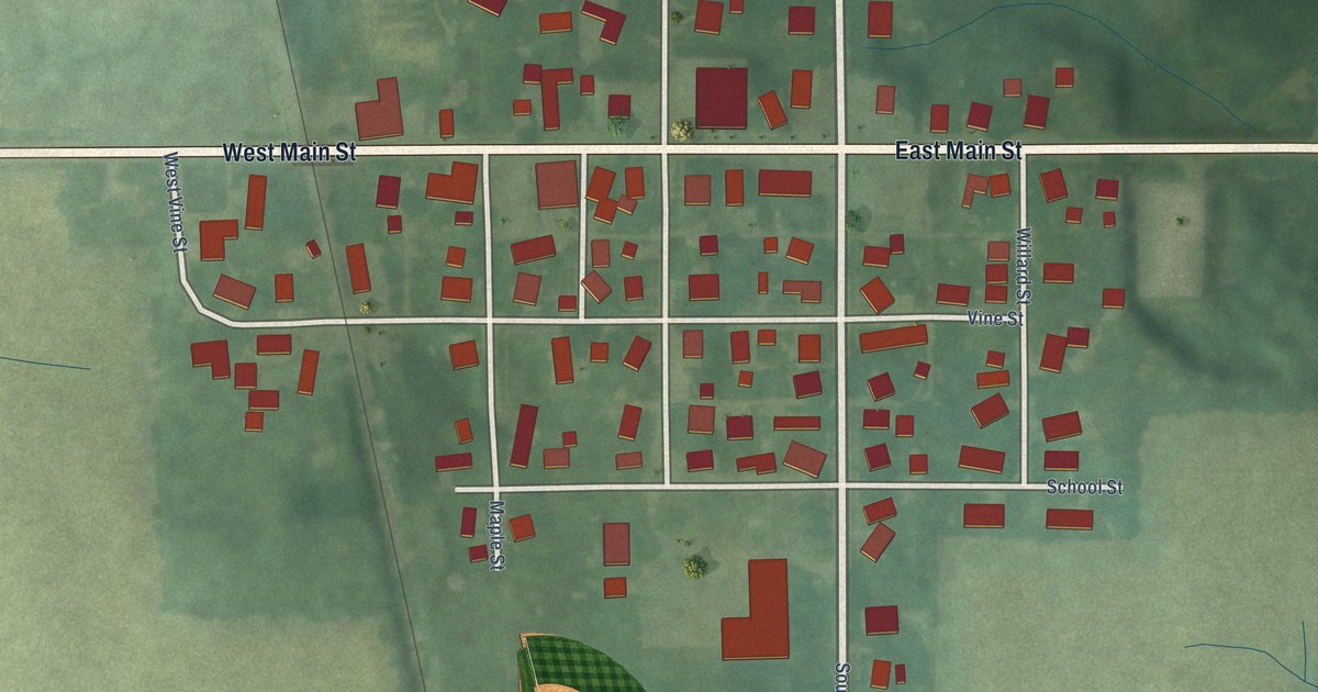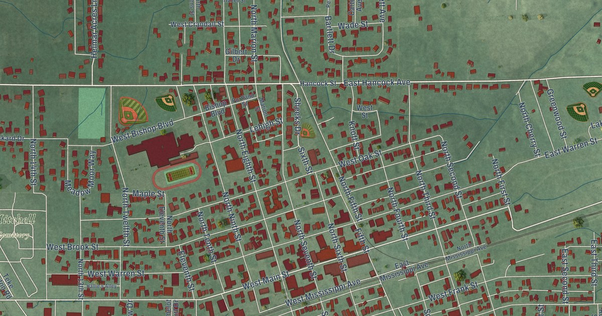
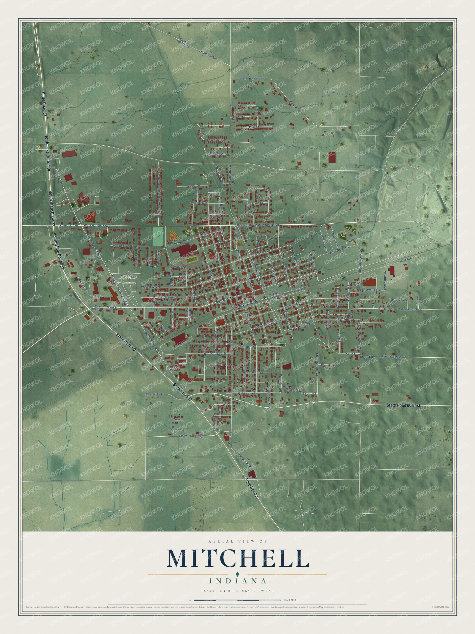
This beautifully detailed map of Mitchell, Indiana was created in 2026 using aerial imagery combined with modern topographical, census, street and landmark data. It’s a one-of-a-kind view of Mitchell that combines accurate data with a vintage aesthetic. The map shows every building in its true location, many of the roads carry their names, and the shaded topographic relief shows the shape of the land.
Explore an aerial view of Mitchell, Indiana
On the map you’ll find Mitchell Cemetery, South State Road037, and South State Road 37, along with North Teke Burton Drive, State Road 60, State Road 37, State Road 60 East, West Main Street, East Hancock Avenue, Hancock Avenue, Sixth Street, West Hancock Avenue, and more. If you look closely you can even find your house accurately drawn in its correct location. Zoom in on the preview to look for yours.
Did you know this piece of Mitchell, Indiana history?
From the History of Lawrence Orange and Washington: "The town was named in honor of the late Gen. O. M. Mitchell, a commander in the Union Army, who died at Huntsville, Ala., 1862, and who was the chief engineer in the location and construction of the Ohio & Mississippi Railway, and who surveyed and platted the town."
Take a closer look at the Mitchell map
Street and place names on the Mitchell, Indiana map
These names are printed on the map of Mitchell, Indiana.
Places: Mitchell Cemetery and Persimmon Park.
Streets and roads: South State Road037, South State Road 37, North Teke Burton Drive, State Road 60, State Road 37, State Road 60 East, West Main Street, East Hancock Avenue, Hancock Avenue, Sixth Street, West Hancock Avenue, Main Street.
More street names, A to Z
950 South Road, Angel Court, Bartlett Avenue, Bartlett Drive, Bishop Boulevard, Boone Lane, Brown Street, Burton Lane, Camelot Court Drive, Carter Avenue, College Avenue, Crawford Street, Curry Street, Dale Street, Dean Street, Diana Street, East Burton Street, East Frank Street, East Grissom Avenue, East Mississippi Avenue, East Second Street, East Third Street, East Vine Street, East Warren Street, East Wells Avenue, Eden Lane, Eleventh Street, Elm Park Drive, Elm Park II Drive, Elm Street, Fifth Street, Flora Lane, Gilbert Drive, Greenwood Street, Grissom Street, Hallie's Alley, Hancock Street, Hazel Street, Helmar Acres Lane, Hel Mar Drive, Kelly Road, Kelly Street, Kelso Road, Knott Street, Lakeside Est, Lakeside Ests, Lake Street, Lawrence Street, Lehigh Street, Maier Avenue, Maple Street, Marion Street, Meadow Moor Way, Moffatt Road, Newby Street, Ninth Street, North 13th Street, North 14th Street, North Cherry Street, North Eighth Street, North Eleventh Street, North Fifth Street, North First Street, North Fourth Street, North Marion Street, North Meridian Road, North Mississippi Avenue, North Ninth Street, North Second Street, North Seventh Street, Northside Village, North Sixth Street, North Stevens Street, North Teke, North Tenth Street, North Third Street, North Twelfth Street, Novotiny Boulevard, Odea Court, Old 4 Points Road, Old State Road 37, Orchard Street, Pleasant View Drive, Plum Street, Portland Street, Rabbitsville Road, Rager Road, Ross Street, Sheeks Drive, South Eighth Street, South Eleventh Street, South Fifth Street, South First Street, South Fourth Street, South Meridian Road, South Ninth Street, South Second Street, South Seventh Street, South Sixth Street, South Stevens, South Stevens Street, South Tenth Street, Stillman Street, Teke Burton Drive, Teke Burton Road, Tulip Street, Wade Street, Walker Addition, Wells Avenue, West Bishop Boulevard, West Braman, West Brook Street, West Burton Street, West Crandall Street, West Curry Street, West Deckard Drive, West Frank Street, West Grissom Avenue, West Hazel Street, West Mississippi Avenue, West Oak Street, West Street, West Vine Street, West Warren Street, Wilkins Way, Woodville Road, Wright Street.
See the Mitchell, Indiana map on a wall
The Mitchell map as an 18 x 24 inch print in a black frame.

This beautifully detailed map of Mitchell makes an attractive addition to your office, library, or den, and it can even be used to teach children the geography and history of the area. It also makes a great gift for anyone who grew up in Mitchell or moved away. When you’re done exploring, click here to get your copy of the Mitchell map.