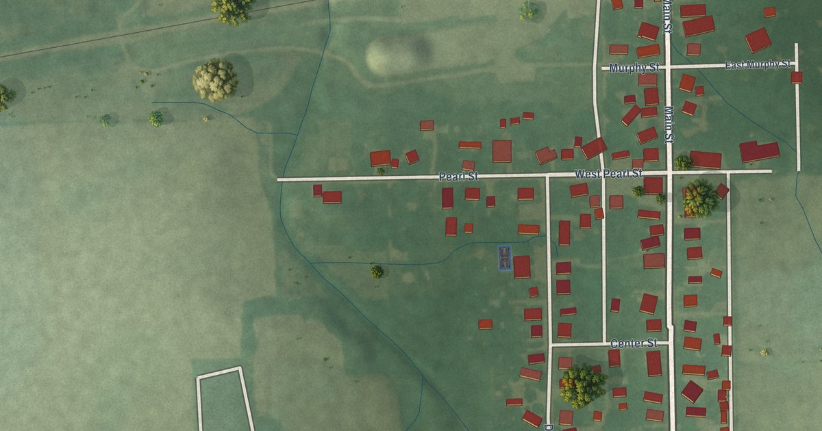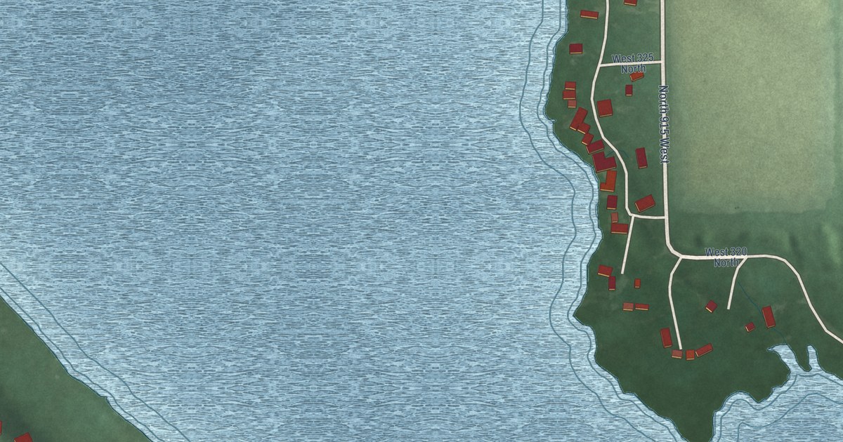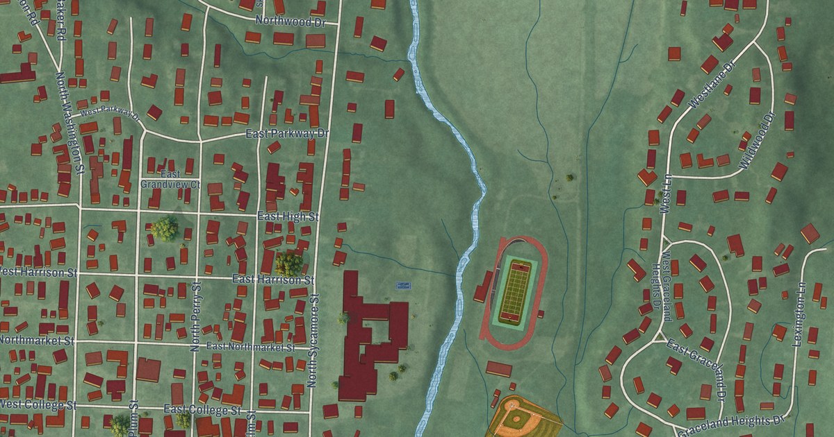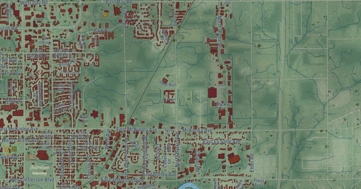
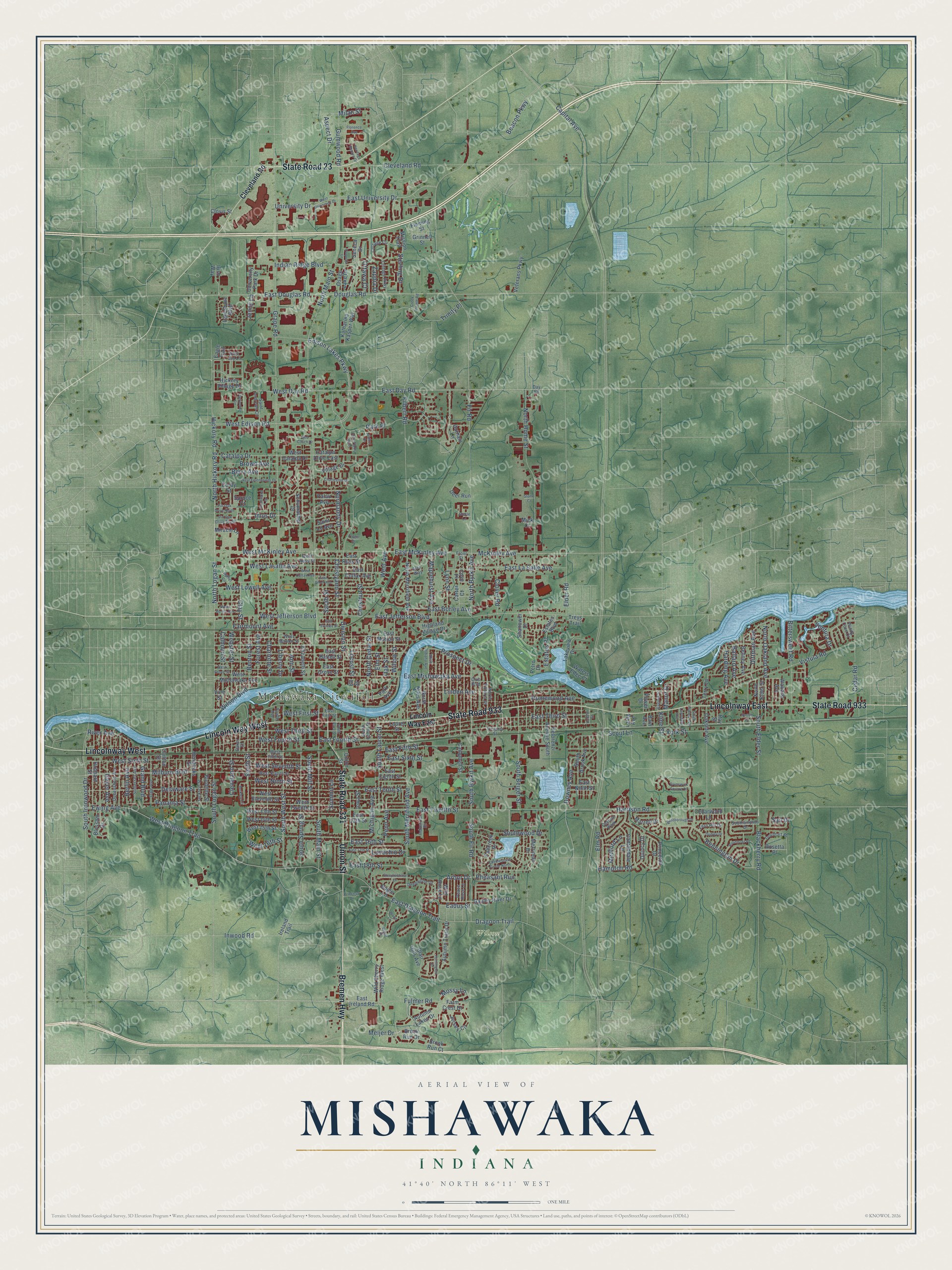
This beautifully detailed map of Mishawaka, Indiana was created in 2026 using aerial imagery combined with modern topographical, census, street and landmark data. It’s a one-of-a-kind view of Mishawaka that combines accurate data with a vintage aesthetic. The map shows every building in its true location, many of the roads carry their names, and the shaded topographic relief shows the shape of the land.
Explore an aerial view of Mishawaka, Indiana
On the map you’ll find Mishawaka City Hall, Fairview Cemetery, Wilson Park, Lincolnway East, and Lincolnway West, along with State Road 933, State Road 331, State Road 23, Bremen Highway, Union Street, Edison Lakes Parkway, and more. If you look closely you can even find your house accurately drawn in its correct location. Zoom in on the preview to look for yours.
Did you know this piece of Mishawaka, Indiana history?
From the City of Mishawaka: "In the autumn, Orlando Hurd constructed the Mishawaka Hotel, which became known as the best hotel on the Vistula Road between Chicago and Toledo."
Take a closer look at the Mishawaka map
Street and place names on the Mishawaka, Indiana map
These names are printed on the map of Mishawaka, Indiana.
Places: Mishawaka City Hall, Fairview Cemetery and Wilson Park.
Streets and roads: State Road 933, Lincolnway East, State Road 331, Lincolnway West, Lincoln Way West, State Road 23, Bremen Highway, Union Street, Edison Lakes Parkway, Harrison Road, East Day Road, West 16th Street.
More street names, A to Z
Alex Way, Ann Street, Arbor Drive, Aspect Drive, Autumn Lakes Drive, Autumn Trails Drive, Bain Avenue, Baker Street, Ballard Avenue, Beacon Parkway, Behney Avenue, Bennington Drive, Benton Street, Berkley Circle, Berlin Avenue, Berry Avenue, Bethel Circle, Birchwood Drive, Bittersweet Road, Blackberry Road, Blair Hills Avenue, Blossom Drive, Blue Jay Lane, Brook Run Court, Brook Run Drive, Brown Avenue, Brunswick Square Drive, Bugle Lane, Burdette Street, Calhoun Street, Campbell Street, Cantondale Lane, Capital Avenue, Carlton Street, Carter Court, Castine Walk, Catalpa Drive, Catalpa Drive East, Cedar Road, Cedarwood Lane, Charleston Drive, Charlotte Street, Chestnut Street, Christyann Street, Clay Street, Cleveland Road, Cleveland Street, Clover Road, Clovis Street, Club Boulevard, Cobblestone Circle North, Corby Street, Cottage Circle, Cottage Parkway, Cove Place, Creek Pointe Road, Dale Avenue, Day Road, Deepwood Drive, Deer Run, Delaware Street, Delorenzi Avenue South, Dittman Avenue, Division Street, Douglas Road, Douthart Place, Downey Avenue, Dragoon Trail, Dudley Drive, Durham Lane, Eadus Street, Eagle Trail, East 13th Street, East 16th Street, East 17th Street, East 18th Street, East Battell Street, East Borley Avenue, East Colfax Avenue, East Douglas Road, East Dragoon Trail, East Eighth Street, East Fifth Street, East First Street, East Fourth Street, East Grove Street, East Ireland Road, East Jefferson Boulevard, East La Salle Avenue, East Marion Street, East McKinley Avenue, East Mishawaka Avenue, East Ninth Street, East Omer Avenue, East Russ Street, East Sixth Street, East Stanley Street, East Tenth Street, East Third Street, East Twelfth Street, East University Drive, Elder Road, Elizabeth Street, Ell Street, Elm Road, Elm Street, Estates Boulevard, Estates Place, Ewing Avenue, Fairmount Avenue, Fallcreek Drive, Farm Crest Drive, Fern Hill Drive, Filbert Road, Fir Road, Fleming Street, Florence Avenue, Forest Avenue, Front Street, Fulmer Road, Gauley River Drive, Geyer Avenue, Grand Boulevard, Grape Road, Grinnell Street, Gumwood Road, Hampton Road, Harding Avenue, Hendricks Street, Heritage Square Drive, Hickory Road, Hickory Village Drive, Highland Village Drive, Hodson Street, Homewood Avenue, Hubbard Street, Huntington Place, Imus Drive, Indian Ridge Boulevard, Industrial Drive, Inwood Road, Iowa Street, Ireland Trail, Irish Way, Iroquois Lane, Jackson Street, Jenny Lane, Jersey Circle, Katharina Kasper Way, Kline Street, Laing Avenue, Lakeshore Boulevard, Lakeview Drive, Laurel Street, Lawndale Avenue, Liberty Drive, Lincoln Way East, Linden Avenue, Locust Street, Lovechio Drive, Lynn Street, Manor Drive, Maplehurst Avenue, Marrett Drive, McKinley Avenue, Medford Lane, Meijer Drive, Merriman Drive, Michigan Avenue, Mick Court, Milan Street, Milburn Boulevard, Miracle Lane, Mission Trail, Mossy Lane, Normandy Drive, North Byrkit Avenue, North Cedar Street, North Elder Street, North Hickory Road, North Home Street, North Indiana Avenue, North Logan Street, North Main Street, North Merrifield Avenue, North Niles Avenue, North Oakland Avenue, North Victoria Street, Norton Court, Oakside Avenue, Oak Street, Osage Lake Drive, Ottawa Court, Palau Avenue, Panama Street, Park Avenue, Park Place, Park Place West, Parkwood Circle, Peace Rose Lane, Penn Avenue, Petro Drive, Pheasant Run, Pin Oak Drive North, Pin Oak Drive South, Power Drive, Pregel Drive, Princess Drive, Princeton Drive, Prospect Drive, Queensboro Avenue, Quincy Drive, Ray Street, Red Coach Drive, Ridge Place, River Avenue, Rosemont Place, Rosetta Place, Sail Drive, Saint Andrews Circle, Saint Lo Avenue, Sarah Street, Schumacher Drive, Scout Lane, Seneca Drive, Shanower Drive, Smith Street, Somerset Avenue, Southampton Drive, South Beiger Street, South Brook Avenue, South Byrkit Avenue, South Cedar Street, South Elder Street, South Fir Road, South Ironwood Drive, South Laurel Street, South Logan Street, South Main Street, South Merrifield Avenue, South Mill Street, South Oakley Avenue, South Race Street, South Spring Street, South West Street, Southwood Drive, Spruce Court, Steele Lane, Steeplechase Drive, Sterling Drive, Stone Court, Summit Lane, Sutton Drive, Terry Lane, Towle Avenue, Treys Trail, Trinity Place, University Drive, University Park Drive, Ventura Drive, Veterans Parkway, Victoria Street, Village Drive, Vine Street, Virginia Street, Vistula Road, Wabash Avenue, Waters Edge Court, Webster Street, Went Avenue, West 13th Street, West 14th Street, West 15th Street, West Borley Avenue, Westborough Drive, West Catalpa Drive, West Colfax Avenue, West Day Road, West Dragoon Trail, West Edison Road, West Eighth Street, West Eisenhower Drive, West Eleventh Street, West Fifth Street, West First Street, West Fourth Street, West Grove Street, West Jefferson Boulevard, West Lasalle Avenue, West Lowell Avenue, West Marion Street, West McKinley Avenue, West Mishawaka Avenue, West Ninth Street, West Russ Street, West Seventh Street, West Sixth Street, West Third Street, West Twelfth Street, West University Drive, Wild Cherry Ridge West, Wild Rose Lane, Willow Street, Wilson Boulevard, Windy Cove Court, Wood Lane, York Street, Zappia Drive.
See the Mishawaka, Indiana map on a wall
The Mishawaka map as an 18 x 24 inch print in a black frame.

This beautifully detailed map of Mishawaka makes an attractive addition to your office, library, or den, and it can even be used to teach children the geography and history of the area. It also makes a great gift for anyone with Mishawaka roots. When you’re done exploring, click here to get your copy of the Mishawaka map.