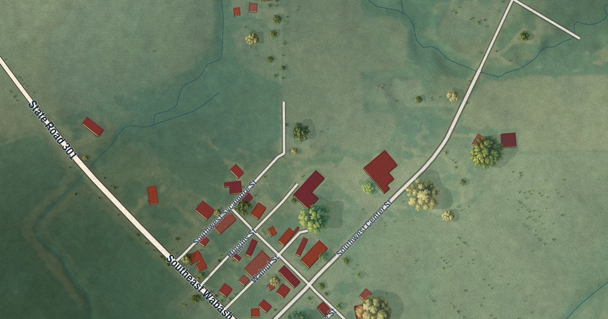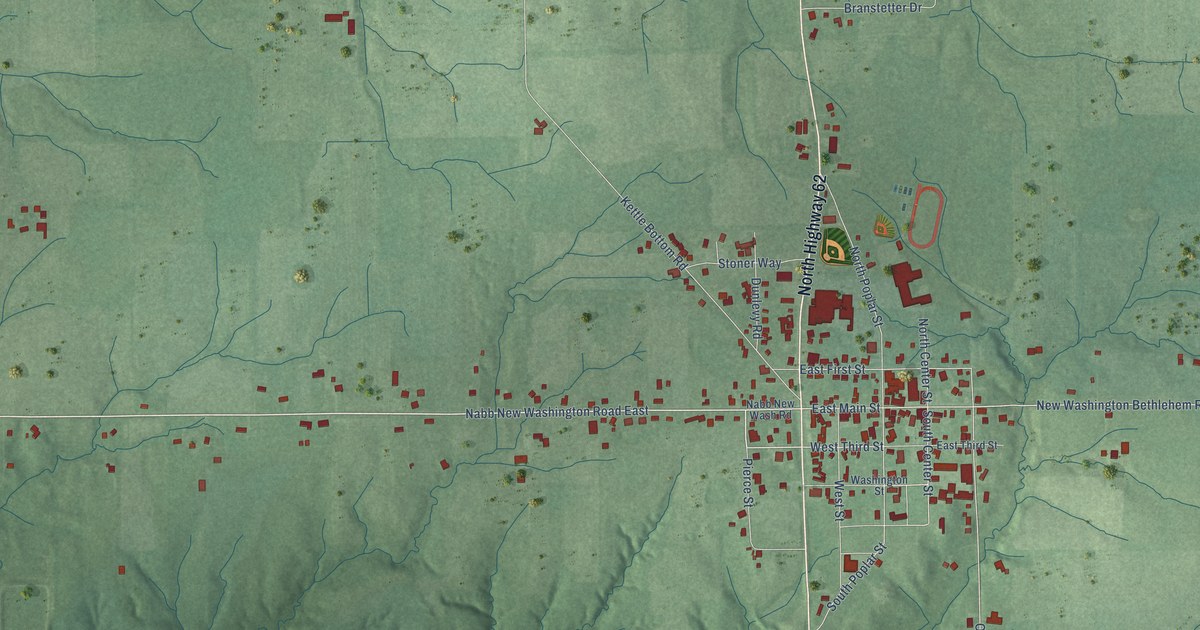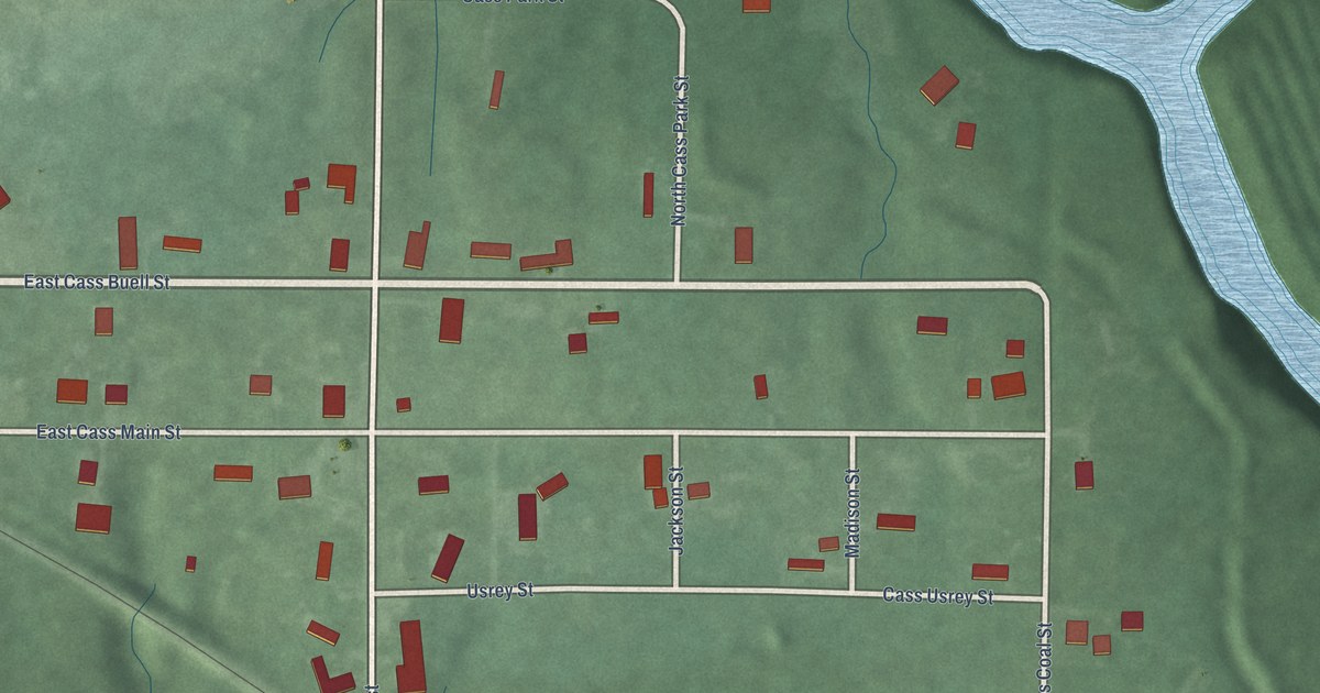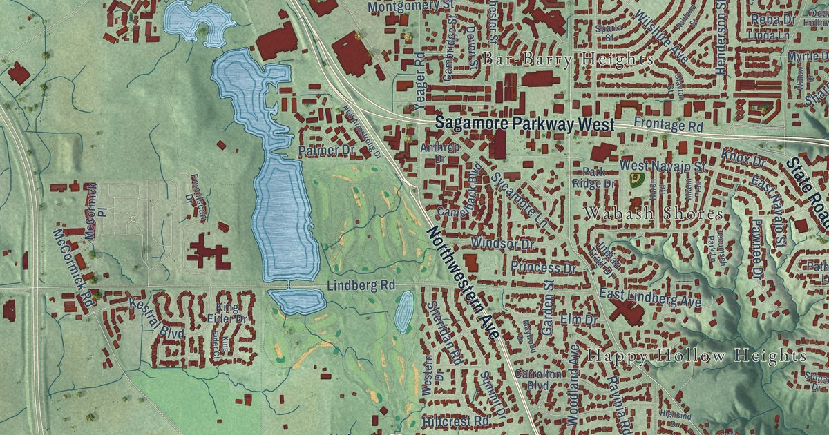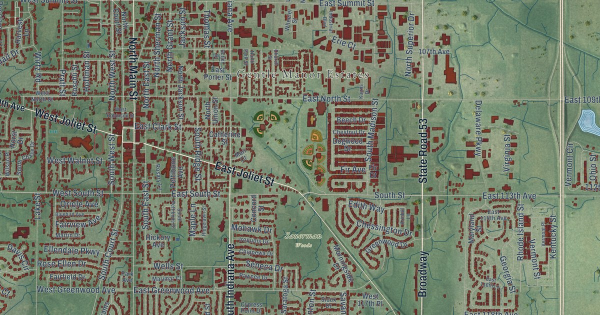
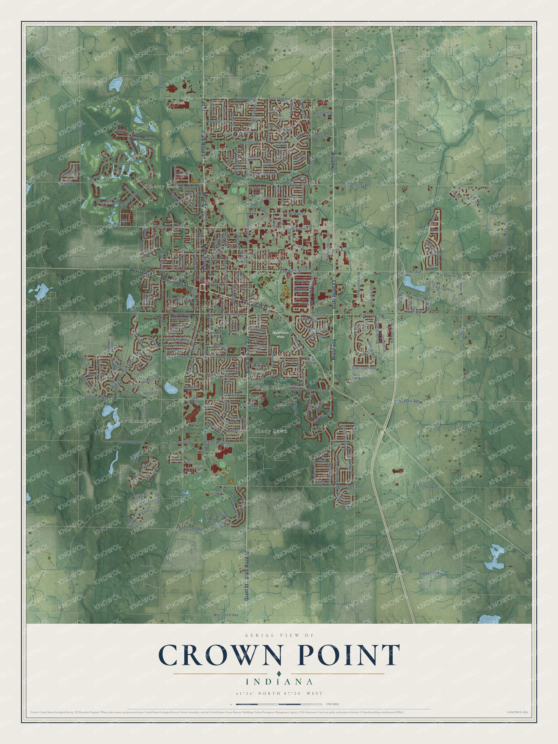
This beautifully detailed map of Crown Point, Indiana was created in 2026 using aerial imagery combined with modern topographical, census, street and landmark data. It’s a one-of-a-kind view of Crown Point that combines accurate data with a vintage aesthetic. The map shows every building in its true location, many of the roads carry their names, and the shaded topographic relief shows the shape of the land.
Explore an aerial view of Crown Point, Indiana
On the map you’ll find Liberty Park, Gentle Manor Estates, Sauerman Woods, Hawthorne Hills, Shady Lawn, Wald View, and Broadway, along with State Road 55, State Road 53, South Indiana Avenue, Grant Street, West Joliet Street, and more. If you look closely you can even find your house accurately drawn in its correct location. Zoom in on the preview to look for yours.
Did you know this piece of Crown Point, Indiana history?
From the Calumet Region Historical Guide: "Named by Solon Robinson, a Connecticut Yankee, for Crown Point, New York, the city has been the county seat of Lake County since 1840. It was the first town in the county to be surveyed and platted (1840)."
Take a closer look at the Crown Point map
Street and place names on the Crown Point, Indiana map
These names are printed on the map of Crown Point, Indiana.
Places: Liberty Park, Gentle Manor Estates, Sauerman Woods, Hawthorne Hills, Shady Lawn, Wald View and Hyde Park.
Streets and roads: State Road 55, Broadway, State Road 53, South Indiana Avenue, Grant Street, West Joliet Street, East Joliet Street, Taft Street, Main Street, North Main Street, Stillwater Parkway, North West Street.
More street names, A to Z
101st Avenue, 105th Place, 106th Place, 107th, 107th Avenue, 109th Place, 112th Avenue, 113th Avenue, 125th Place, 126th Place, Aaron Court, Alice Street, Arrowhead Court, Arthur Court, Arthur Place, Arthur Street, Beech Drive, Birch Street, Bluebird Avenue, Breckman Drive, Buchanan Street, Butler Street, California Street, Carroll Court, Catherine Street, Cedar Drive, Cedar Lake Road, Cedar Street, Center Creek Drive, Center Ross Road, Chase Street, Chessington Drive, Chestnut Drive, Chippewa Drive, Church Street, Clark Place, Clark Road, Cleveland Street, Colorado Street, Concord Street, Copper Creek Drive, Creekside Drive, Crestview Lane, Crown Court, Cypress Point Drive, Davis Circle, Davis Court, Delaware Parkway, Delaware Street, Doe Path Lane, Dogwood Drive, Driftwood Trail, East 93rd Avenue, East 101st Avenue, East 108th Place, East 109th Avenue, East 110th Lane, East 111th Place, East 113th Avenue, East 114th Avenue, East 116th Lane, East 118th Avenue, East 119th Place, East 121st Avenue, East 125th Avenue, East 129th Avenue, East 129th Place, East 130th Lane, East 137th Avenue, East Burrell Drive, East Clark Street, East Elizabeth Drive, East Greenview Place, East Greenwood Avenue, East North Street, East Porter Street, East South Street, East Summit Street, East Valencia Drive, Easy Street, Edgewater Road, Edith Way, Ellendale Parkway, Erie Court, Estelle Lane, Fairfield Drive, Fairview Avenue, Faith Drive, Fir Avenue, Fir Court, Florida Lane, Florida Place, Foy Court, Garfield Place, George Cohan Court, Georgia Street, Grant Place, Greenview Drive, Greenview Place, Greenwood Drive, Hampton Court, Harrison Street, Harvest Lane, Hayes Street, Hayfield Drive, Hemlock Lane, Hickory Avenue, Hickory Lane, Highlands Drive, High Meadow Drive, Hill Court, Hoffman Street, Holley Drive, Horst Drive, Hub Court, Huey Drive, Illinois Drive, Illinois Street, Imperial Drive, Industrial Boulevard, Iowa Street, Iroquois Drive, Jackson Street, Jeanne Court, Jefferson Drive, Joy Drive, Kairns Drive, Kendall Court, Kentucky Street, Kleven Lane, Krinbill Lane, Lake Street, Las Olas Drive, Lewis Street, Lillian Russell Court, Louis Drive, Madison Street, Magnolia Drive, Maine Drive, Maple Lane, Maple Street, Marimar Court, Marr Court, Marshall Street, Martin Drive, Mary Ellen Drive, Maryland Street, Mary Lane, Massachusetts Street, Mathews Street, Maxwell Street, McKinley Street, Meadow Lane, Merrillville Road, Michele Avenue, Millenium Drive, Millennium Drive, Mississippi Street, Mohawk Drive, Monroe Street, Morningside Court, Morningside Drive, Mybeck Place, Nomo Place, North Court Street, North East Street, North Freedom Circle, North Grant Street, North Indiana Avenue, North Jackson Street, North Park Street, North Sherman Street, North Superior Drive, North Union Street, O'Hagan Drive, Oak Drive, Oak Grove Street, Oak Street, Ohio Street, Oriole Avenue, Park Avenue, Pawnee Drive, Pennsylvania Place, Pennsylvania Street, Pettibone Avenue, Pettibone Street, Pierce Street, Polk Street, Prairie Court, Pratt Street, Quail Drive, Quinlan Court, Rhode Island Street, Ridgelawn Street, Ronny Court, Roosevelt Place, Rosary Lane, Rose Ellen Drive, Rosslare Place, Ruschli Street, Ryan Court, Saratoga Street, Savannah Drive, Schilling Drive, Seneca Drive, Shannon Drive, Sherwood Drive, Silver Hawk Drive, Sioux Drive, Sonoma Court, South Chase Drive, South Court Street, South East Street, South Feather Rock Drive, South Madison Street, South Main Street, South Pettibone Street, South Ridge Street, South Street, South West Street, Sterling Court, Summit Street, Sycamore Street, Sylvia Lane, Texas Court, Thomas Street, Trenton Street, Troutwine Drive, Troutwine Road, Tyler Court, Tyler Street, Van Buren Street, Vermont Circle, Vermont Place, Vermont Street, Veterans Lane, Virginia Street, Walnut Lane, Washington Street, Wells Street, West 93rd Avenue, West 93rd Place, West 94th Lane, West 94th Place, West 95th Avenue, West 95th Lane, West 95th Place, West 96th Avenue, West 96th Lane, West 96th Place, West 97th Avenue, West 97th Place, West 98th Avenue, West 98th Place, West 99th Avenue, West 99th Place, West 100th Avenue, West 101st Avenue, West 109th Avenue, West 117th Place, West 121st Avenue, West 125th Avenue, West 127th Place, West 128th Place, West 129th Avenue, West 129th Place, West 132nd Avenue, West 132nd Place, West 133rd Avenue, West 141st Avenue, West Burrell Drive, West Franciscan Drive, West Greenwood Avenue, West North Street, West Robinson Street, West South Street, West Summit Street, West Walnut Street, Wheeler Street, Whitehall Drive, White Hawk Drive, Williams Drive, Wilson Place, Wirtz Road, Wood Street, Wyndham Drive.
See the Crown Point, Indiana map on a wall
The Crown Point map as an 18 x 24 inch print in a black frame.

This beautifully detailed map of Crown Point makes an attractive addition to your office, library, or den, and it can even be used to teach children the geography and history of the area. It also makes a great gift for anyone with Crown Point roots. When you’re done exploring, click here to get your copy of the Crown Point map.