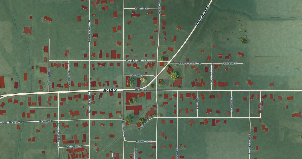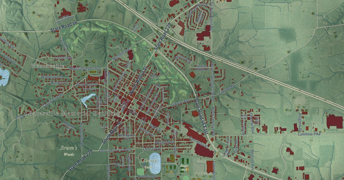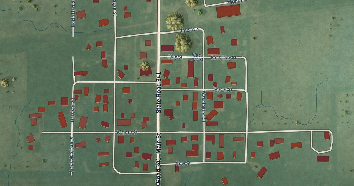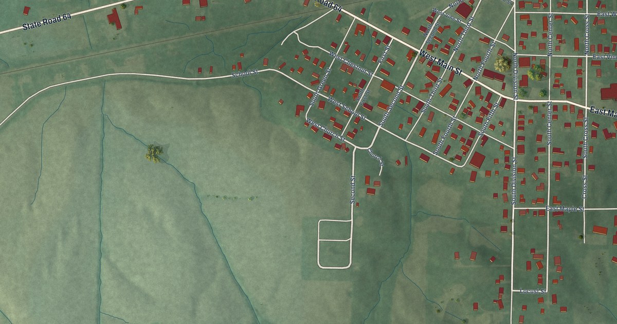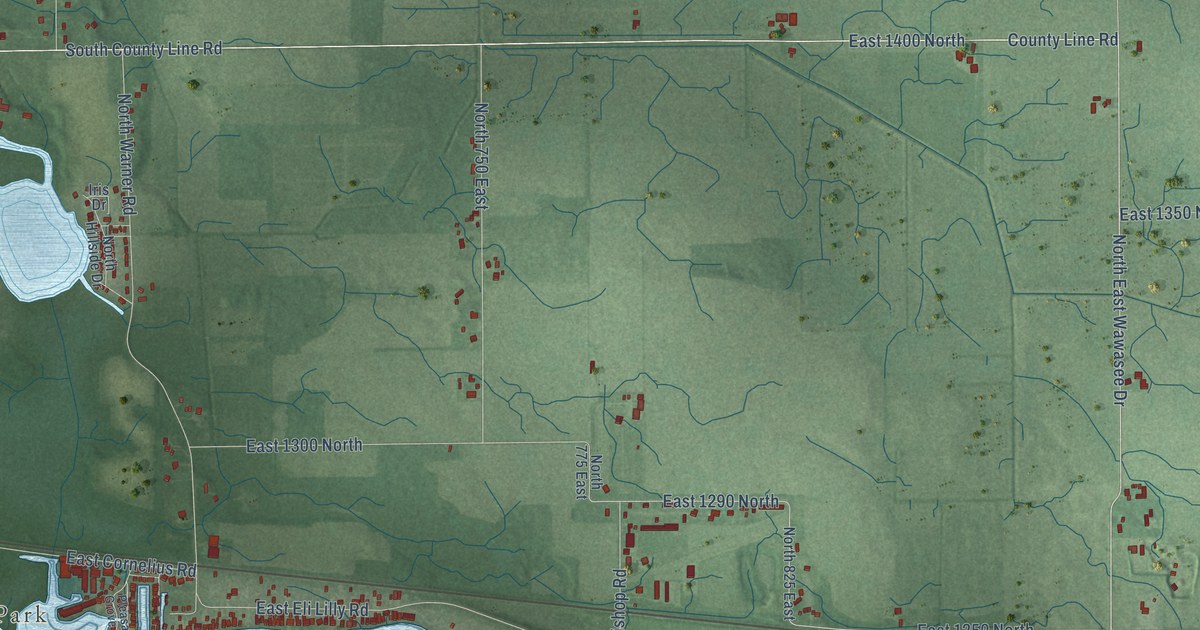
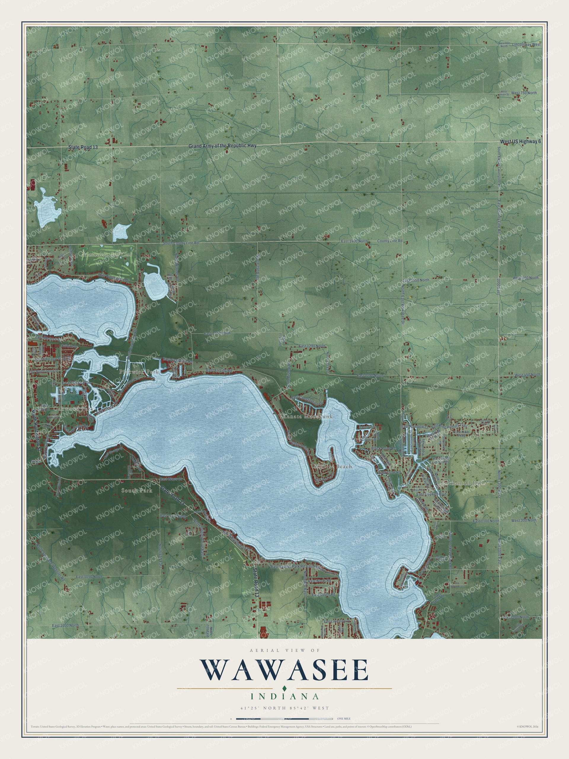
This beautifully detailed map of Wawasee, Indiana was created in 2026 using aerial imagery combined with modern topographical, census, street and landmark data. It’s a one-of-a-kind view of Wawasee that combines accurate data with a vintage aesthetic. The map shows every building in its true location, many of the roads carry their names, and the shaded topographic relief shows the shape of the land.
Explore an aerial view of Wawasee, Indiana
On the map you’ll find Oakwood Park, Enchanted Hills, South Park, Pickwick Park, Kanata Manayunk, Sunrise Beach, Maxwelton Golf Club, and North 1200 West, along with Grand Army of the Republic Highway, State Road 13, South Huntington Street, West US Highway 6, and more. If you look closely you can even find your house accurately drawn in its correct location. Zoom in on the preview to look for yours.
Did You Know?
From Internet Archive: "Well established in yards of cottages on north bank of Lake Wawasee."
Wawasee is a community in Kosciusko County.
Take a closer look at the Wawasee map
Names on this map
These names are printed on this map.
Places: Oakwood Park, Enchanted Hills, South Park, Pickwick Park, Kanata Manayunk, Sunrise Beach and Maxwelton Golf Club.
Streets and roads: Grand Army of the Republic Highway, State Road 13, South Huntington Street, West US Highway 6, North 1200 West, East County Line Road, East 1100 North, North East Wawasee Drive, North Ogden Point Road, County Line Road, East 1400 North, South County Line Road.
More street names, A to Z
1000 East, Bayview Drive, Beau Peep Lane, Black Point Road, Cedar Point Low Road, Crows Nest Drive, Eagle Court, East 1000 North, East 1050 North, East 1120 North, East 1250 North, East 1290 North, East 1300 North, East 1350 North, East Chicago Street, East Cinderella Drive, East Constitution Drive, East Cornelius Road, East Crow Road, East Doswell Boulevard, East Eli Lilly Road, East George Street, East Highland View Drive, East Hunnicutt Drive, East Island Avenue, East King Arthurs Trail, East Lake View Drive, East Lake View Road, East Lynwood Drive, East Maple Grove Street, East Medusa Street, East Natti Crow Road, East Nokomis Drive, East North Road, East Northshore Drive, East Palm Drive, East Pickwick Drive, East Pickwick Park Drive, East Pixie Parkway, East Rainbow Lane, East Smith Drive, East South Road, East Starry Eyed Lane, East Street of Dreams, East Sunrise Drive, East Trusdell Avenue, East Vawter Park Road, East Waco Drive, East Walnut Drive, East Wawasee Lane, East Woodys Lane, Fascination Way, Fuzzy Bear Road, Ideal Beach Drive, Iris Drive, Iris Lane, Koko Drive, Lincoln Road, Lincolnway West, North 350 East, North 560 East, North 650 East, North 700 East, North 750 East, North 775 East, North 800 East, North 825 East, North 1000 East, North Bayshore Drive, North Biscayne Lane, North Bishop Road, North Dogleg Drive East, North Eastshore Drive, Northeast Wawasee Drive, North Elm Grove Road, North Front Street, North Grand Boulevard, North Grandview Drive, North Hillside Drive, North Humpty Dumpty Drive, North Kings Drive, North Lung Lane, North Memorial Parkway, North Nash Drive, North Pied Piper Parkway, North Pine Road, North Rumpelstiltzkin Drive, North Skyline Drive, North Southshore Drive, North Sunrise Drive, North Syracuse Webster Road, North Treasure Island Road, North Turkey Creek Road, North Warner Road, North Wood Way, Pleasant Grove Road, Railside Drive, Rampart Drive, Rogers Court, Shore Lane, Sir Lancelot Lane, South Elkhart Countyline Road, South Front Street, South Harkless Drive, South Lake Drive, South Lakeside Drive, South Walnut Street, Sunset Lane, Turkey Creek Road, Turtle Bay Drive, West 200 North, West 300 North, West 450 North, West 550 North, West 750 North, West 800 North, West Union Street, Wizard of Oz Way.
See it on a wall
The Wawasee map as a framed print. Swipe for more.


This beautifully detailed map of Wawasee makes an attractive addition to your office, library, or den, and it can even be used to teach children the geography and history of the area. It also makes a great gift for anyone who grew up in Wawasee or moved away. When you’re done exploring, click here to get your copy of the Wawasee map.