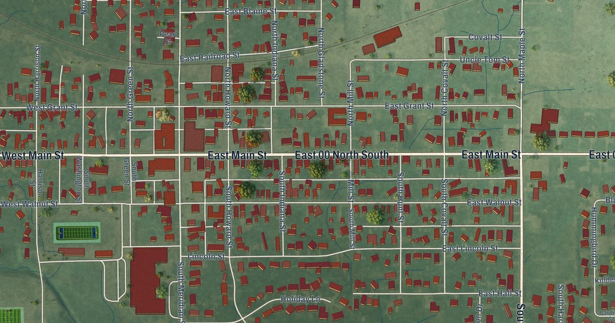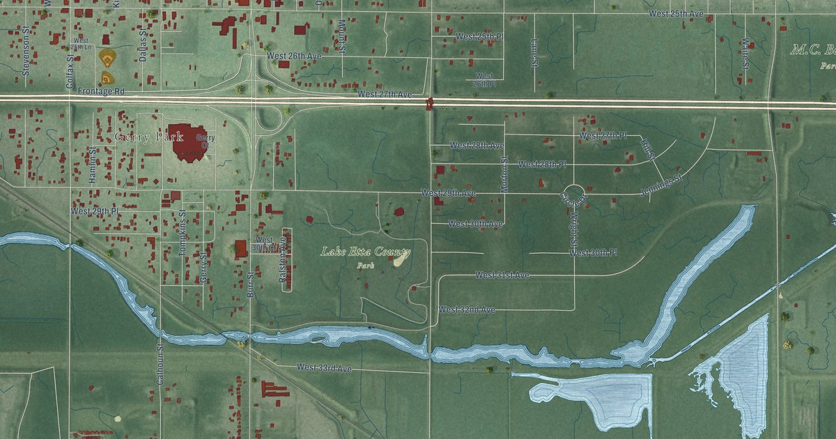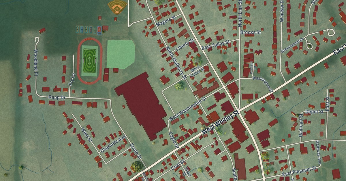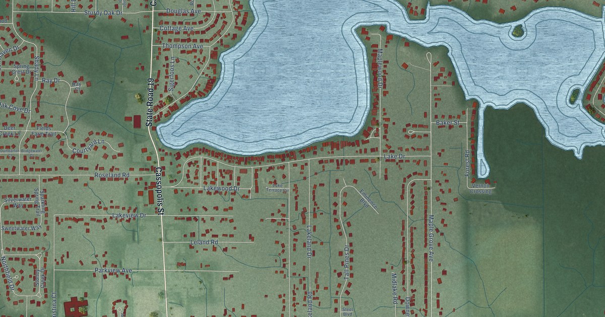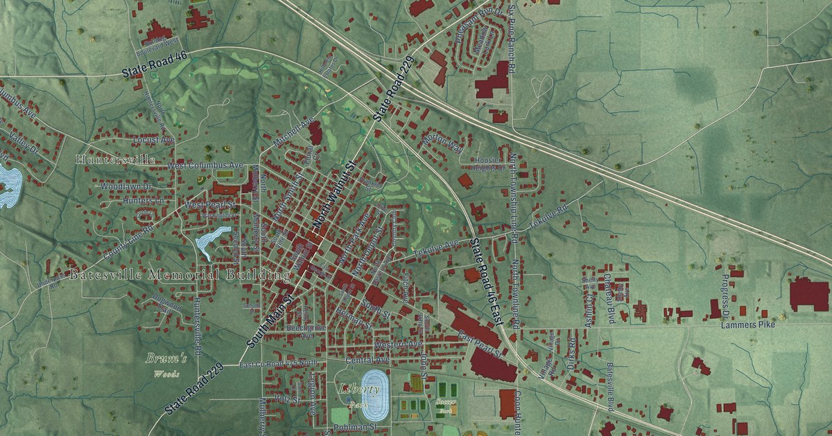
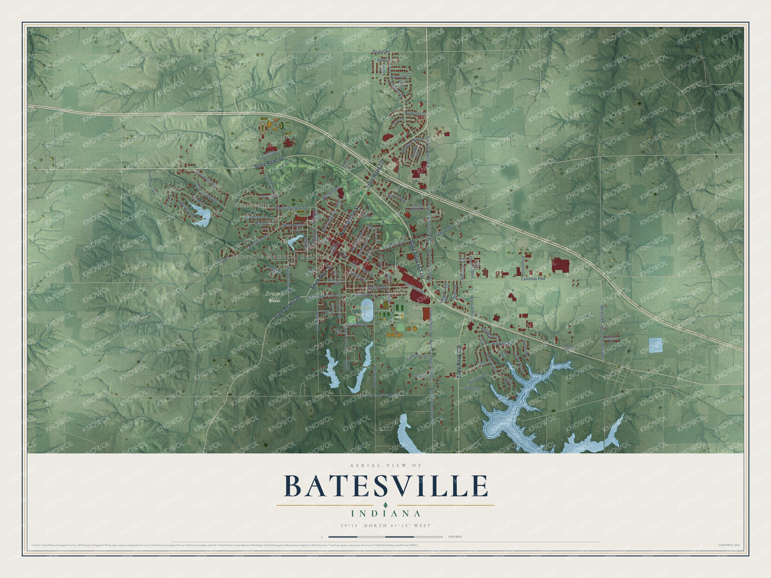
This beautifully detailed map of Batesville, Indiana was created in 2026 using aerial imagery combined with modern topographical, census, street and landmark data. It’s a one-of-a-kind view of Batesville that combines accurate data with a vintage aesthetic. The map shows every building in its true location, many of the roads carry their names, and the shaded topographic relief shows the shape of the land.
Explore an aerial view of Batesville, Indiana
On the map you’ll find Batesville Memorial Building, Huntersville, Brum’s Woods, Liberty Park, Soccer Park, and North Co Road 300 East, along with State Road 229, South Main Street, State Road 46 East, State Road 46, State Road 129, North Walnut Street, and more. If you look closely you can even find your house accurately drawn in its correct location. Zoom in on the preview to look for yours.
Did you know this piece of Batesville, Indiana history?
From the Batesville Visitor Guide: "Joshua Bates, a member of the Callahan Trust Company, was the first to build his home on lot number one. It is from Joshua Bates, that Batesville is said to have received its name."
Take a closer look at the Batesville map
Street and place names on the Batesville, Indiana map
These names are printed on the map of Batesville, Indiana.
Places: Batesville Memorial Building, Huntersville, Brum's Woods, Liberty Park and Soccer Park.
Streets and roads: State Road 229, South Main Street, State Road 46 East, State Road 46, State Road 129, North Walnut Street, North County Road 300 East, Six Pine Ranch Road, Mitchell Avenue, County Line Road, North Depot Street, North Smith Street.
More street names, A to Z
Abby Lane, Alice Way, Arlington, Arlington Drive, Ashlin Court, Aspen Drive, Batesville Boulevard, Beechgrove Avenue, Belmont Place, Brook Drive, Brum Boulevard, Bulldog Boulevard West, Burr Oak Drive, Callery Pear Drive, Central Avenue, Charles Place, Chateau Boulevard, Circle Lane, Columbus Avenue, Coon Hunters Road, Country Club, Curtis Court, Delaware Road, Dirks Road, Dogwood Trail, East County Road 475 North, East County Road 1400 North, East George Street, East Pearl Street, Egs Boulevard, Fieldstone Drive, Fisherman Road, Fitch Avenue, Floral Court, Franklin Street, Henry Street, Herman Street, Hillcrest Estates Drive, Hoosier Heights Drive, Hunters Lane, Huntersville Road, John Street, Lacey Lane, Lakeshore Drive, Lammers Pike, Legion Avenue, Little Leaf, Locust Avenue, Meadow Lark Lane, Merkel Road, Morton Way, Mulberry Street, North Coonhunters Road, North County Road 450 East, North Eastern Avenue, North Huntersville Road, North Mulberry Street, North Park Avenue, Northside Drive, North Townline Road, North Township Line Road, Oakmont Place, Olive Street, Park Place, Pheasant Run Drive, Pierson Road, Pin Oak, Pocket Road, Pohlman Street, Progress Drive, Red Maple Court, Sand Court, Schultz Street, Shelby Avenue, Shelly Avenue, South Depot Street, South John Street, South Mulberry Street, South Park Avenue, South Park Road, South Second Street, South Street, South Vine Street, South Walnut Street, Tekulve Avenue, Tekulve Road, Underpass Road, Valley Court, Valley Drive, Village Drive, Village Road, Volz Street, Washington Street, West Columbus Avenue, Western Avenue, West Pearl Street, White Oak Court, White Oak Drive, White Oak Lane, Winding Way, Woodlawn Drive, Woodside Court.
See the Batesville, Indiana map on a wall
The Batesville map as an 18 x 24 inch print in a black frame.

This beautifully detailed map of Batesville makes an attractive addition to your office, library, or den, and it can even be used to teach children the geography and history of the area. It also makes a great gift for someone who left Batesville and still calls it home. When you’re done exploring, click here to get your copy of the Batesville map.