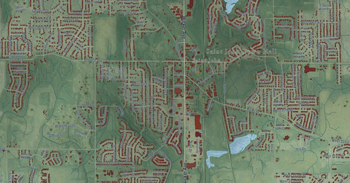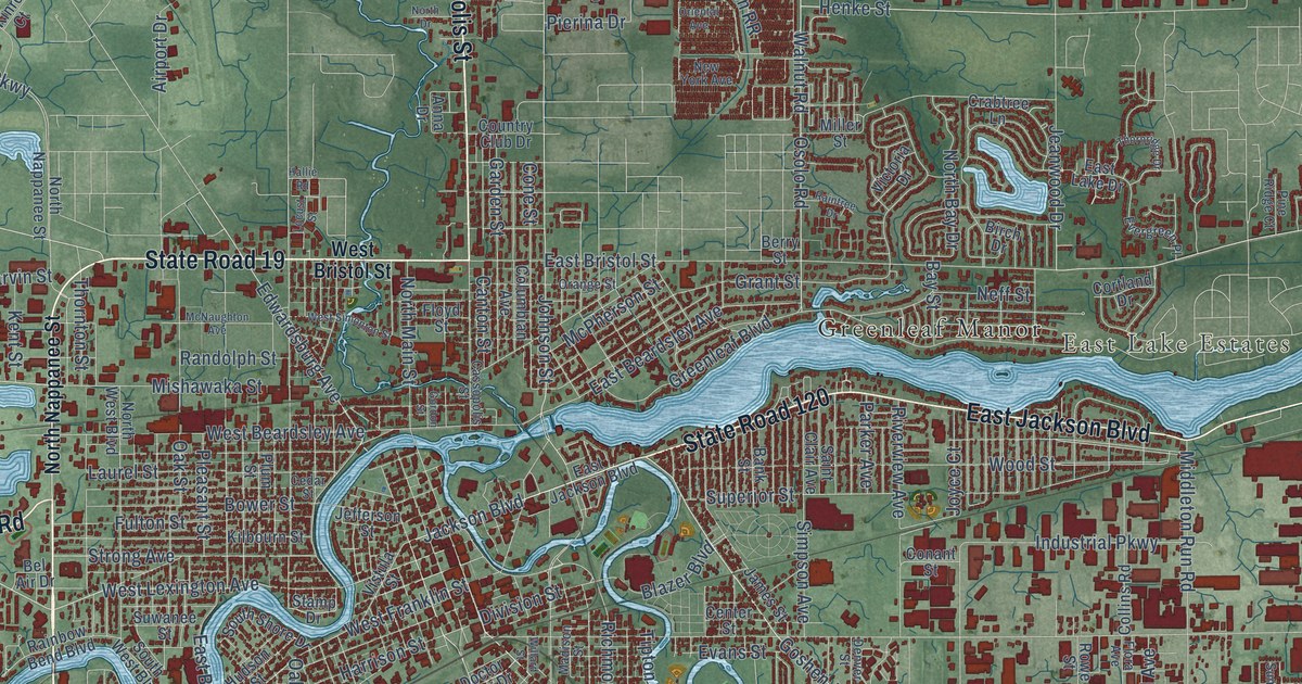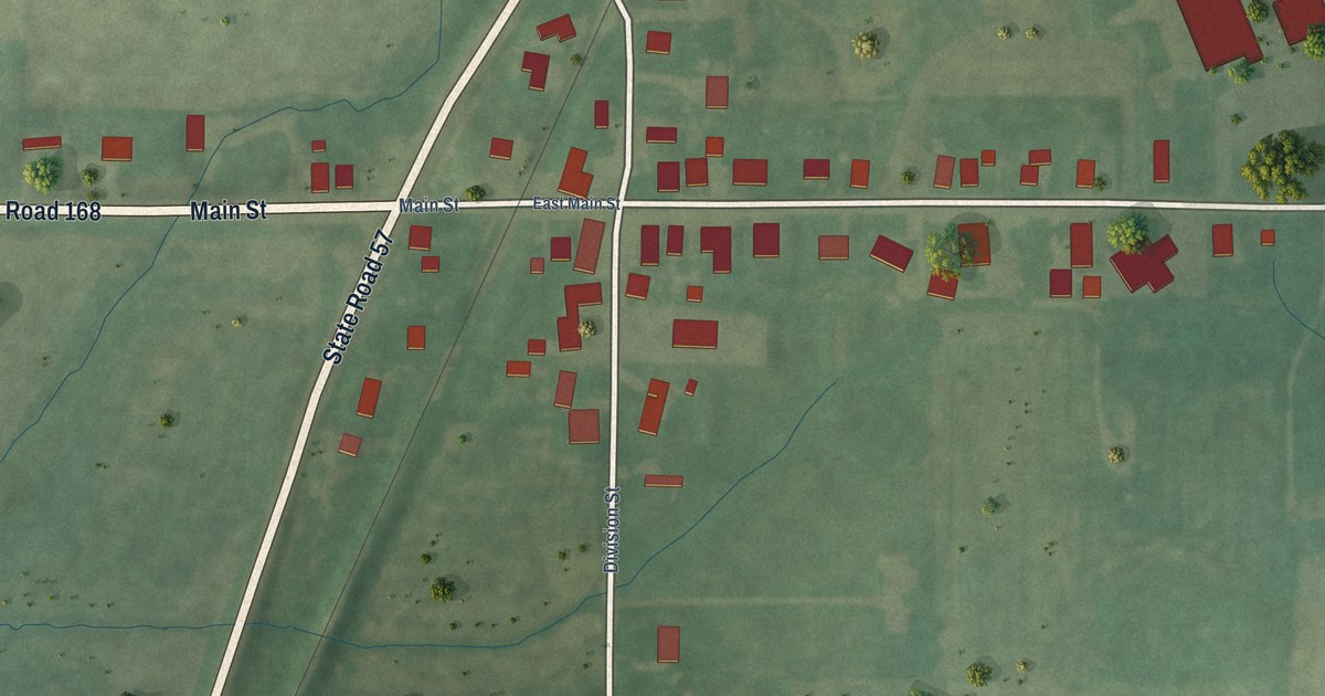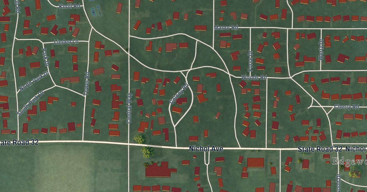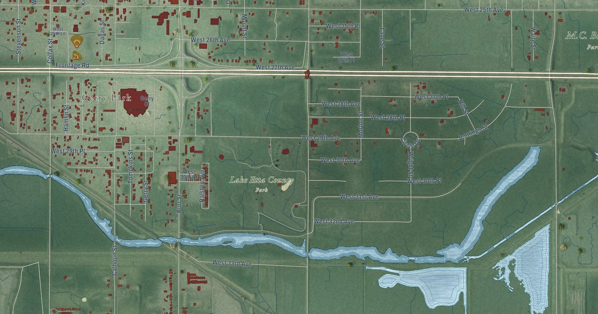
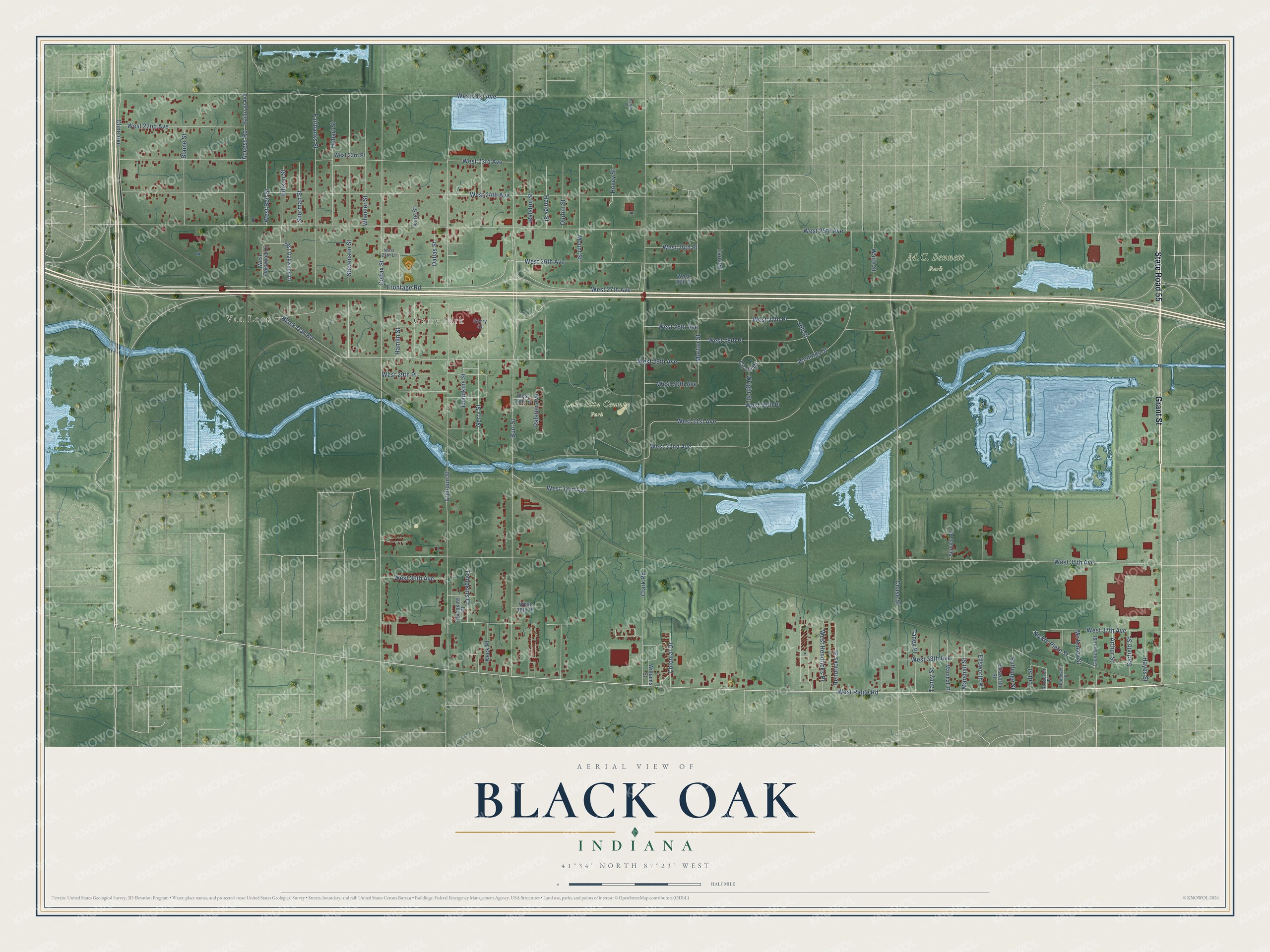
This beautifully detailed map of Black Oak, Indiana was created in 2026 using aerial imagery combined with modern topographical, census, street and landmark data. It’s a one-of-a-kind view of Black Oak that combines accurate data with a vintage aesthetic. The map shows every building in its true location, many of the roads carry their names, and the shaded topographic relief shows the shape of the land.
Explore an aerial view of Black Oak, Indiana
On the map you’ll find Van Loon, Gerry Park, and Lake Etta County Park, along with Grant Street, State Road 55, West Ridge Road, West 31st Avenue, Morton Street, West 23rd Avenue, Gerry Street, West 25th Avenue, Burr Street, and more. If you look closely you can even find your house accurately drawn in its correct location. Zoom in on the preview to look for yours.
Did You Know?
From Internet Archive: "The next appearance of this seam is at the crossing of the Ohio and Mississippi Railroad, at Black Oak station, eight or ten miles east of Washington, in Daviess county."
Black Oak is a place in Lake County.
Take a closer look at the Black Oak map
Names on this map
These names are printed on this map.
Places: Van Loon, Gerry Park, Lake Etta County Park and M.C. Bennett Park.
Streets and roads: Grant Street, State Road 55, West Ridge Road, West 31st Avenue, Morton Street, West 23rd Avenue, Gerry Street, West 25th Avenue, Burr Street, Calhoun Street, West 24th Avenue, Chase Street.
More street names, A to Z
Access Road, Arthur Street, Black Oak Road, Blaine Street, Circle Drive, Clark Road, Cleveland Street, Cline Avenue, Colfax Street, Colonial Drive, Dallas Street, Durbin Street, East Oakwood Drive, Edison Street, Ellsworth Place, Ellsworth Street, Fairbanks Street, Frontage Road, Garfield Street, Gerry Court, Hamlin Street, Hanley Street, Hayes Street, Hendricks Street, Hill Street, Hobart Street, Hovey Street, Jennings Street, Keck Place, King Street, Lane Street, Marshall Place, Marshall Street, Mc Kinley Street, Mount Street, Nickle Plate Street, Porter Street, Railroad Avenue, Ralston Avenue, Ralston Street, Roosevelt Place, Roosevelt Street, Rutledge Street, Service Road, Sherman Street, Stevenson Street, Taft Street, Taney Place, Taney Street, Tompkins Court, Tompkins Place, Tompkins Street, Waite Street, West 21st Avenue, West 22nd Avenue, West 23rd Place, West 25th Lane, West 25th Place, West 26th Avenue, West 26th Place, West 27th Avenue, West 27th Place, West 28th Avenue, West 28th Place, West 29th Avenue, West 29th Place, West 30th Avenue, West 30th Court, West 30th Place, West 32nd Avenue, West 33rd Avenue, West 35th Avenue, West 36th Avenue, West 36th Place, West 37th Avenue, West 38th Avenue, West Bell Street, West Hendricks Place, West Oakwood Drive, Wheeler Street, Williams Street, Wright Street.
See it on a wall
The Black Oak map as a framed print. Swipe for more.


This beautifully detailed map of Black Oak makes an attractive addition to your office, library, or den, and it can even be used to teach children the geography and history of the area. It also makes a great gift for anyone who grew up in Black Oak or moved away. When you’re done exploring, click here to get your copy of the Black Oak map.