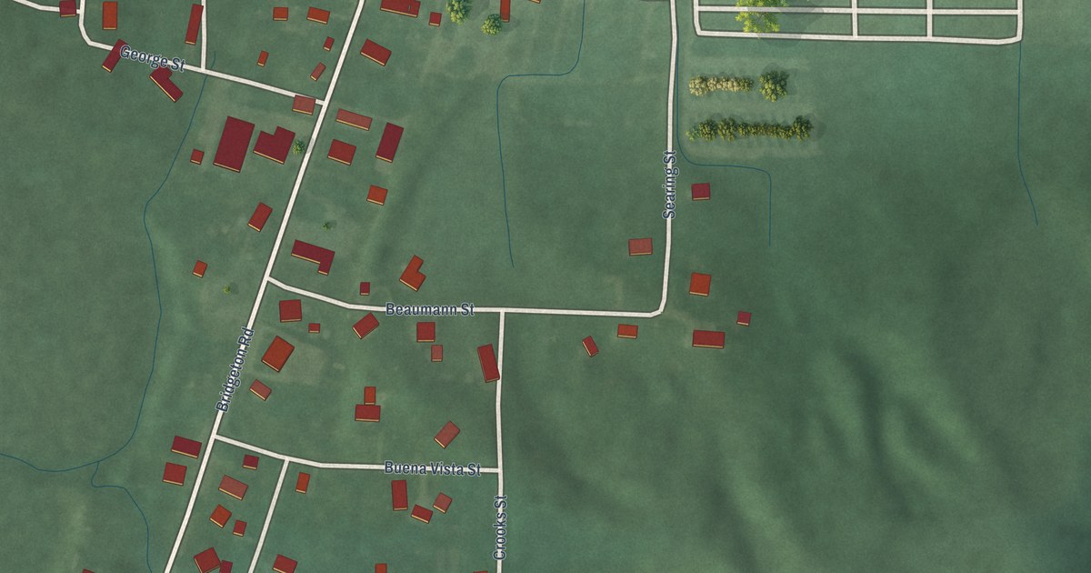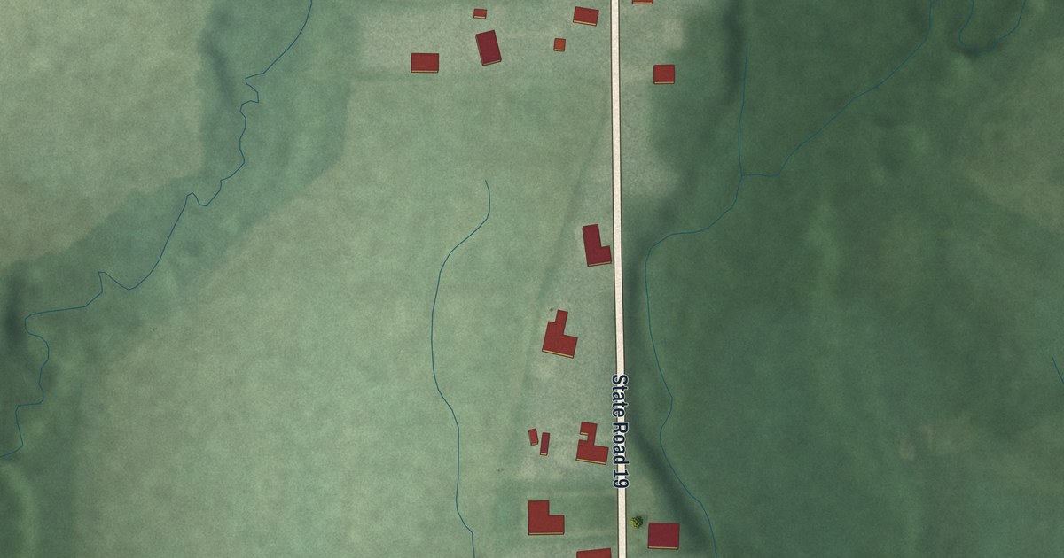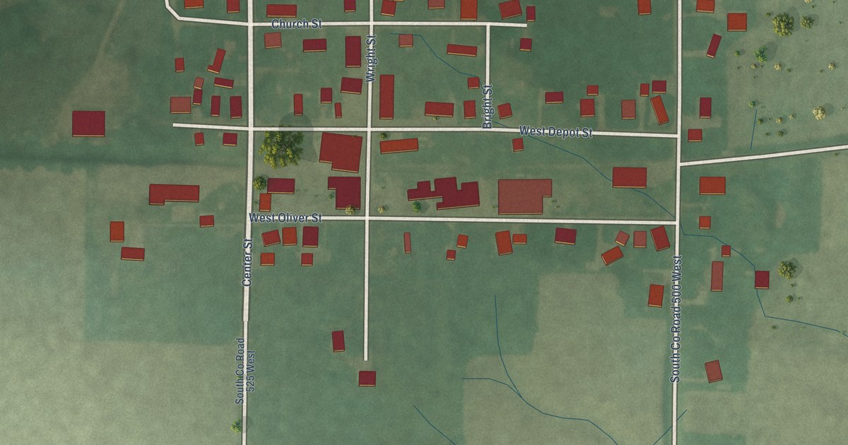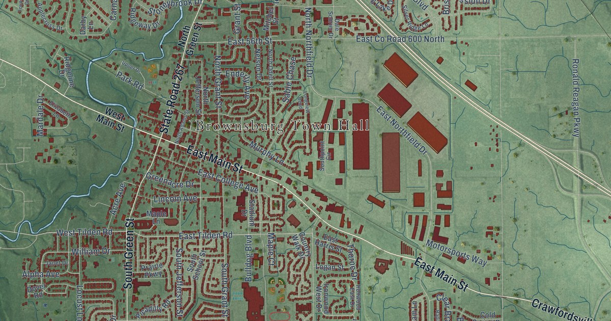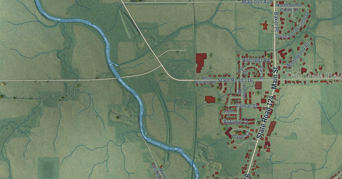
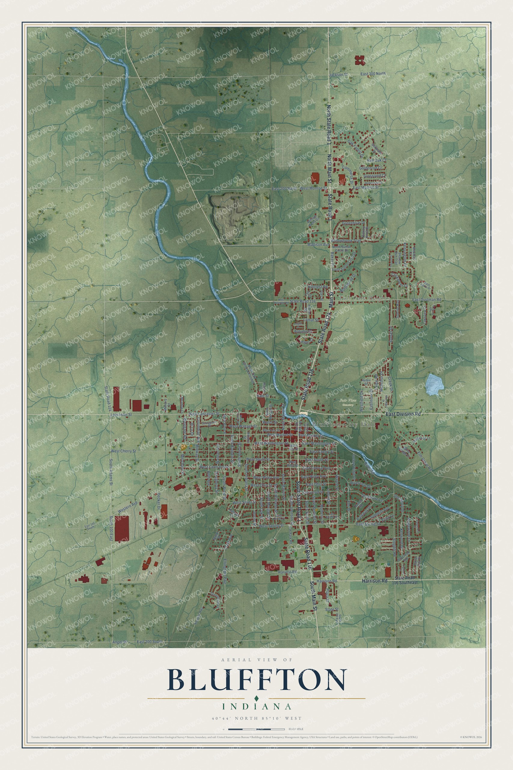
This beautifully detailed map of Bluffton, Indiana was created in 2026 using aerial imagery combined with modern topographical, census, street and landmark data. It’s a one-of-a-kind view of Bluffton that combines accurate data with a vintage aesthetic. The map shows every building in its true location, many of the roads carry their names, and the shaded topographic relief shows the shape of the land.
Explore an aerial view of Bluffton, Indiana
On the map you’ll find Bluffton City Hall, Toll Gate Heights, Fair View Cemetery, South State Road 1, and North State Road 1, along with State Road 116, State Road 124, Main Street, South Main Street, State Road 1, North Main Street, East Division Road, and more. If you look closely you can even find your house accurately drawn in its correct location. Zoom in on the preview to look for yours.
Did you know this about Bluffton, Indiana?
From the Indiana Gazetteer: "Bluffton, the Seat of Justice of Wells county, is situated on the Wabash river, near the centre of the county, twenty-five miles south of Fort Wayne and 101 north-east of Indianapolis."
Take a closer look at the Bluffton map
Street and place names on the Bluffton, Indiana map
These names are printed on the map of Bluffton, Indiana.
Places: Bluffton City Hall, Toll Gate Heights and Fair View Cemetery.
Streets and roads: State Road 116, State Road 124, Main Street, South Main Street, State Road 1, South State Road 1, North State Road 1, North Main Street, East Division Road, Harrison Road, East Market Street, Lancaster Street.
More street names, A to Z
4-H Park Road, Angel Street, Autumn Court, Baker Place, Beth Avenue, Capri Court, Cedar Road, Clark Avenue, Columbian Avenue, Commerce Drive, Creek Drive, Cricketeer Court, Decker Drive, Dougherty Street, East 100 South, East 200 North, East 200 South, East 300 North, East Arnold Street, East Central Avenue, East Cherry Street, East Dustman Road, East Horton Street, East Monroe Street, Eastmoor Drive, East Ohio Street, East South Street, East Spring Street, East Washington Street, East Wiley Avenue, Echo Lane, Ellingham Pike, Elm Drive, Elm Grove Road, Fawncrest Court, Garr Street, Goldenrod Court, Grassland Court, Greenbriar Drive, Greenfield Lane, Hale Street, Harvest Road, Helen Street, Hickory Knoll Drive, Highland Court, High Pointe Court, Hillcrest Road, Hi Lo Drive, Homestead Court, Hoosier Highway, Hunter Road, Indiana Street, Jackson Street, Jersey Street, Kathryn Circle, Kensington Drive, Kenwood Drive, Knights Court, Lakeview Court, Lamar Street, Liberty Street, Madison Avenue, Manor Drive, McArthur Drive, Meadow Lane, Memory Lane, Merchant Street, Midway Street, Mulberry Street, Normandy Drive, North Bond Street, North Marion Street, North Morgan Street, North Oak Street Extended, North Scott Street, North Sutton Circle Drive, North Union Street, Northwood Drive, Oak Forest Drive, Old Creek Avenue, Orchard Ridge Drive, Parkway Drive, Parlor City Drive, Plaza Street, Ranch Road, Red Oak Court, Ridgewood Lane, River Road, Riverview Drive, Shadow Run Trail, Sherwood Drive, South 100 East, South 300 East, South Adams Street, South Baldwin Street, South Bennett Street, South Bond Street, South Indiana Street, South Johnson Street, South Marion Street, South Morgan Street, South Oak Street, South Scott Street, South Sutton Circle Drive, South Union Street, South Williams Street, State Road 116 Southeast, State Street, Stillwater Drive, Stogdill Road, Summitt Avenue, Sunnyglenn Court, Sunrise Way, Sunset Drive, Sycamore Lane, Toll Circle, Treyburn Court, Walmer Avenue, Water Street, Wausau Court, Wayne Street, West Central Avenue, West Cherry Street, West Dustman Road, West Elm Street, Western Avenue, Westfield Drive, Westgate Road, West Horton Street, West Lancaster Street, West Market Street, West Monroe Street, West Ohio Street, West Perry Street, West Riley Street, West Shore Drive, West Silver Street, West South Street, West Spring Street, West Wabash Street, West Washington Street, West Wiley Avenue, Wexford Court, White Bridge Court, Wildwood Lane, William Wells Circle, Willowbrook Trail.
See the Bluffton, Indiana map on a wall
The Bluffton map as an 18 x 24 inch print in a black frame.

This beautifully detailed map of Bluffton makes an attractive addition to your office, library, or den, and it can even be used to teach children the geography and history of the area. It also makes a great gift for anyone with Bluffton roots. When you’re done exploring, click here to get your copy of the Bluffton map.