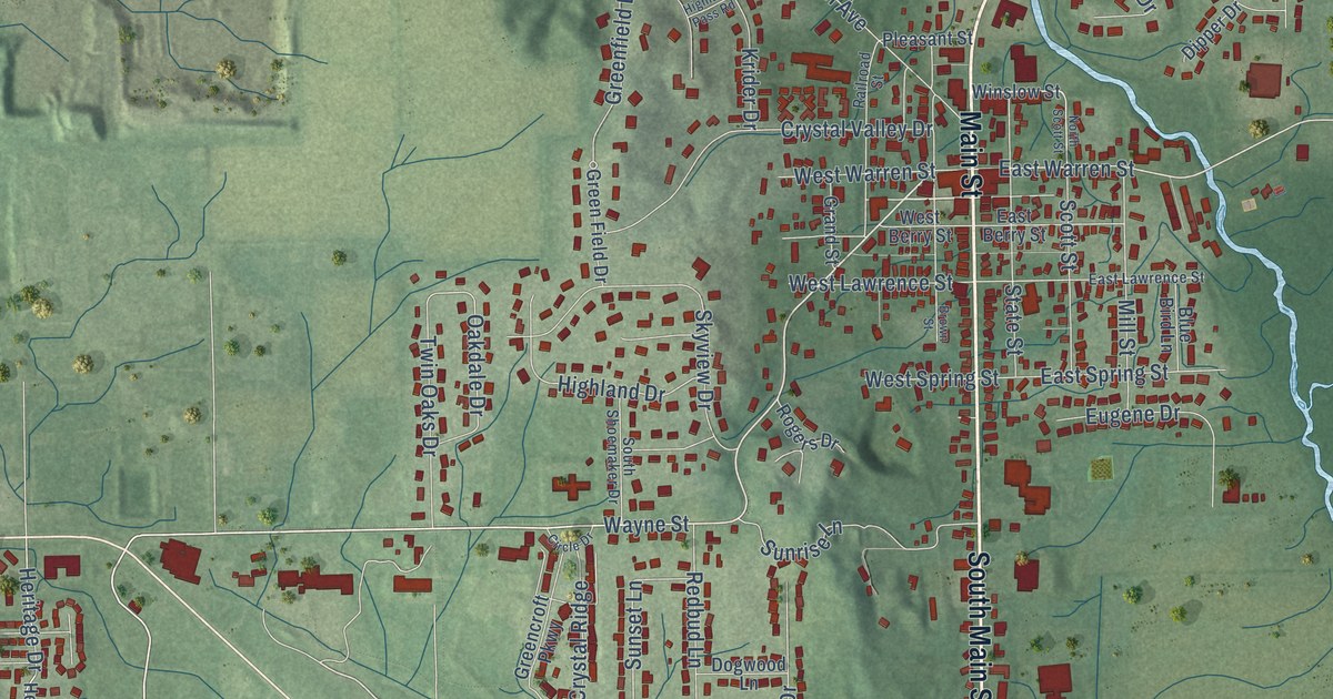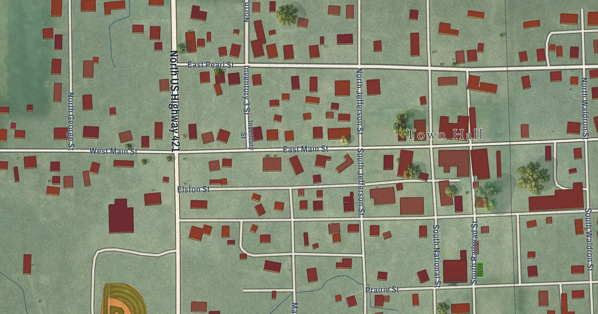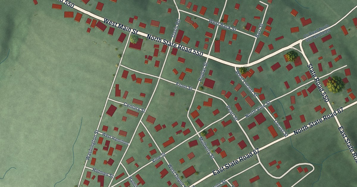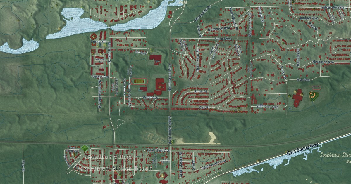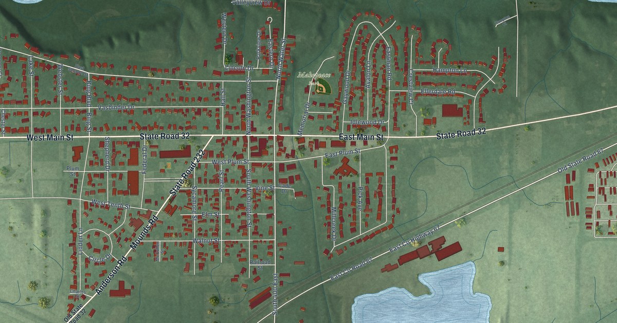
This beautifully detailed map of Chesterfield, Indiana was created in 2026 using aerial imagery combined with modern topographical, census, street and landmark data. It’s a one-of-a-kind view of Chesterfield that combines accurate data with a vintage aesthetic. The map shows every building in its true location, many of the roads carry their names, and the shaded topographic relief shows the shape of the land.
Explore an aerial view of Chesterfield, Indiana
On the map you’ll find Walbridge Acres Park, Makepeace Park, Old State Road 67, West Co Road 550 South, and South 1000 West, along with West Main Street, State Road 32, Mounds Road, State Road 232, Anderson Road, East Main Street, County Line Road, and more. If you look closely you can even find your house accurately drawn in its correct location. Zoom in on the preview to look for yours.
Did you know this piece of Chesterfield, Indiana history?
From the Historical Sketches of Madison County: "In 1870 a Methodist church was organized at Chesterfield by Rev. John Pierce, Robert Goodin and others. In 1871 a place of worship was erected, and for a time regular services were held therein once every two weeks."
Take a closer look at the Chesterfield map
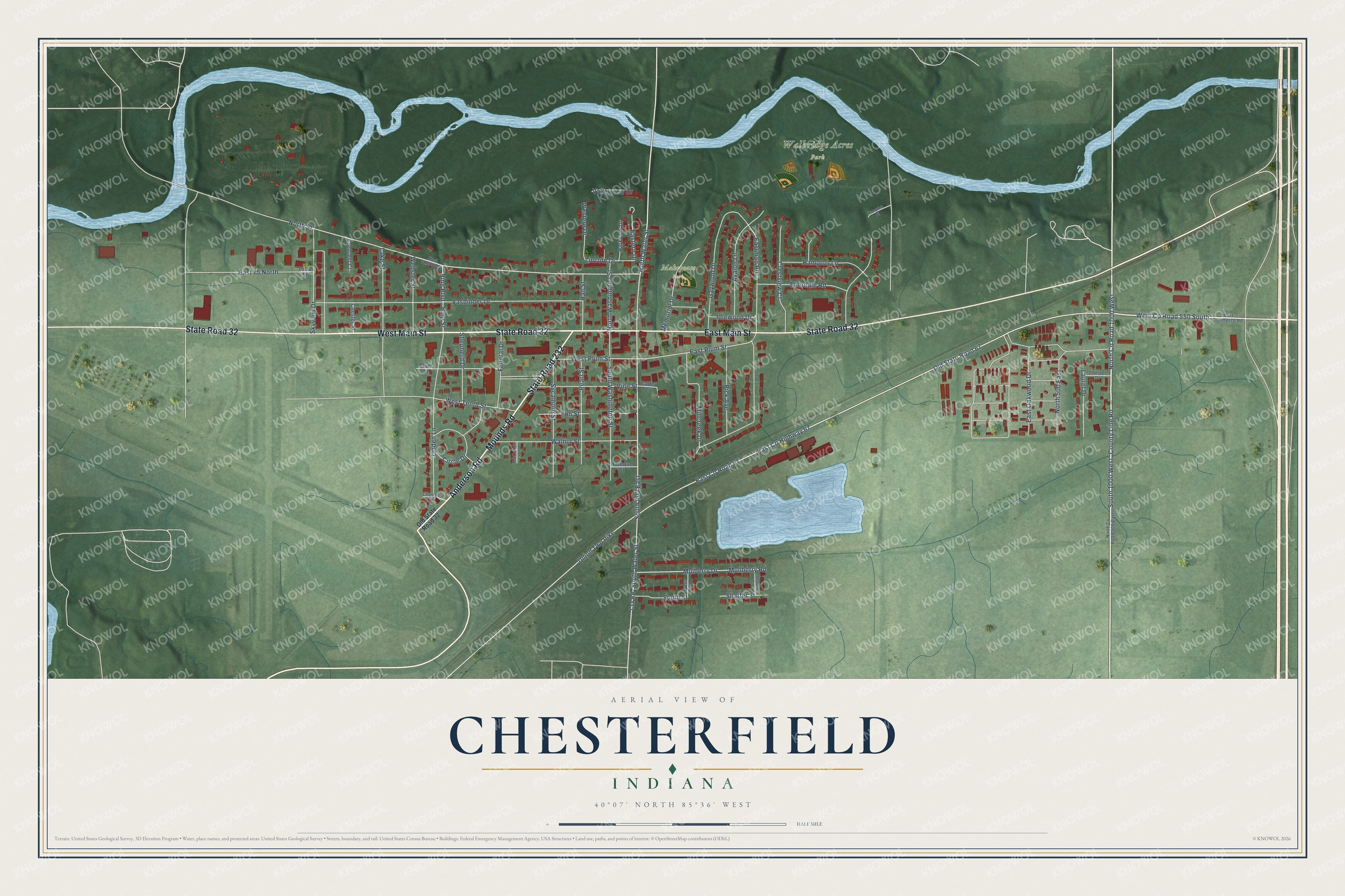
Street and place names on the Chesterfield, Indiana map
These names are printed on the map of Chesterfield, Indiana.
Places: Walbridge Acres Park and Makepeace Park.
Streets and roads: West Main Street, State Road 32, Mounds Road, State Road 232, Anderson Road, East Main Street, Old State Road 67, West County Road 550 South, South 1000 West, County Line Road, North County Road 1000 West, East County Highway 67.
More street names, A to Z
Avalon Lane, Bing Boulevard, Bing Street, Cade Drive, Charles Street, Chester Drive, Chester Street, Circle Drive, Crescent Court, Crestview Court, Csx RR, Dilts Street, East 75 North, East County Road 67, Eastern Drive, Eastman Road, East Oakwood Drive, East Plum Street, East Second Street, Ellerdale Road, Elm Street, Federal Drive, Gaywood Drive, Hall Street, Hampton Court, Hampton Lane, Idlewood Drive, Lake Street, Laurel Drive, Lincoln Drive, Linden Lane, McCullen Street, Memorial Drive, Millcreek Drive, Mulberry Drive, Mullberry Road, North 500 East, North County Road 500 East, North Street, North Washington Street, North Water Street, Old State Road 32, Parkview Drive, Pass Street, Pearl Street, Pick Avenue, Plum Street, Railroad Street, Shafer Street, Shaffer Street, Shepherd Drive, Skyview Drive, South 400 East, South Street, South Washington Street, South Water Street, Sycamore Street, Union Twp Pike, Valleyview Drive, Vasbinder Drive, Vine Street, Walnut Street, Webster Street, West Commerce Road, Western Drive, West Plum Street, West Tenth Street.
See the Chesterfield, Indiana map on a wall
The Chesterfield map as an 18 x 24 inch print in a black frame.

This beautifully detailed map of Chesterfield makes an attractive addition to your office, library, or den, and it can even be used to teach children the geography and history of the area. It also makes a great gift for someone who left Chesterfield and still calls it home. When you’re done exploring, click here to get your copy of the Chesterfield map.