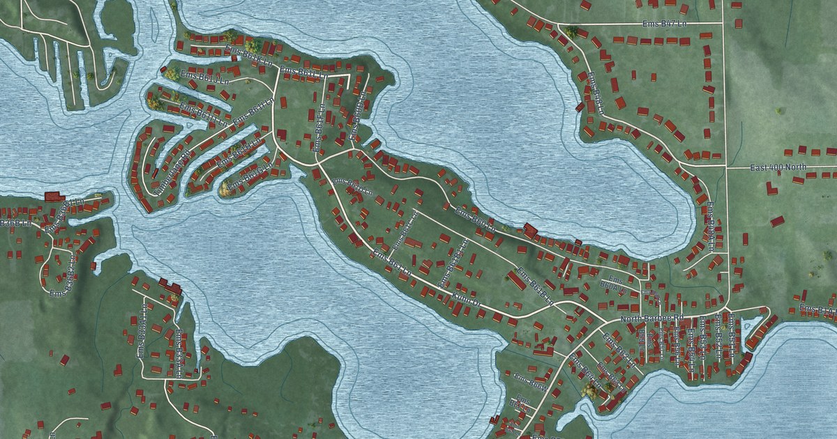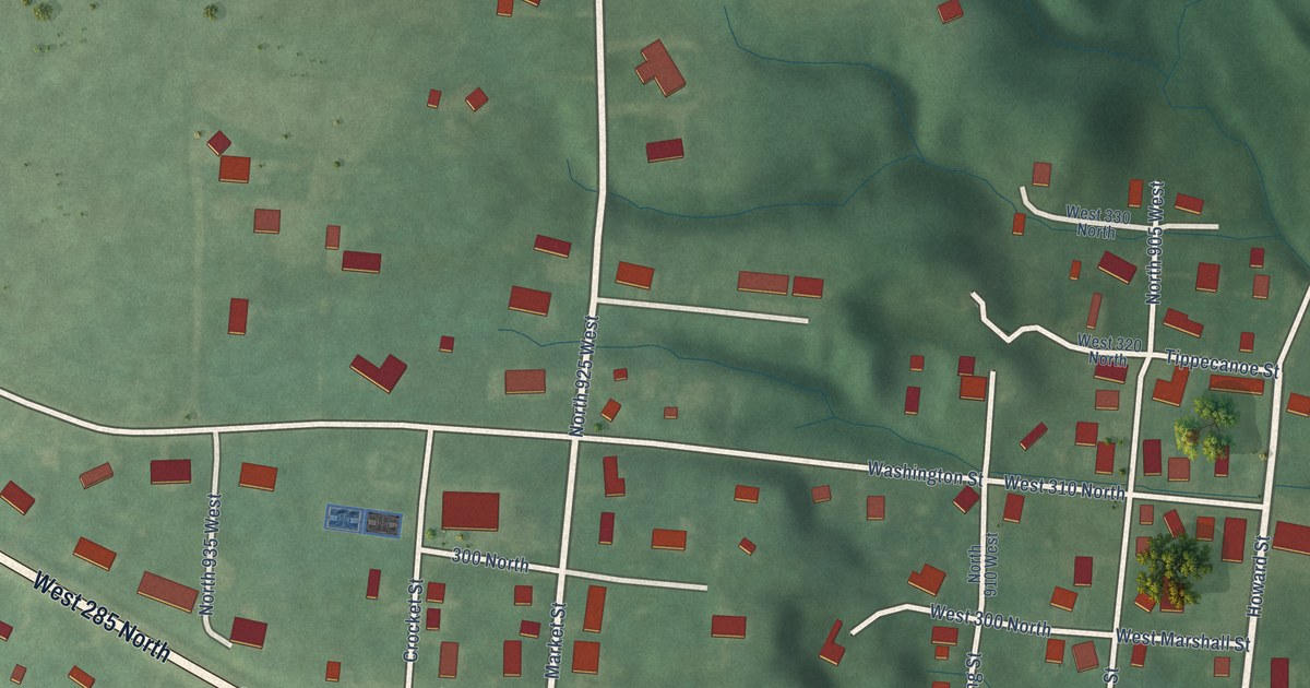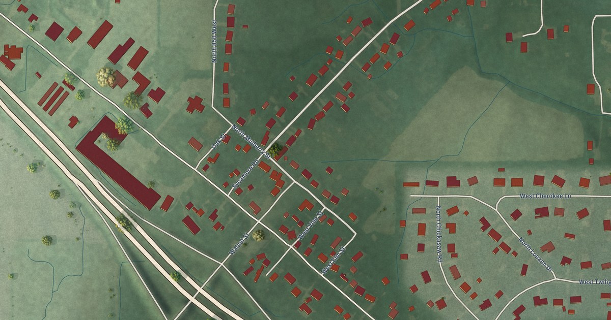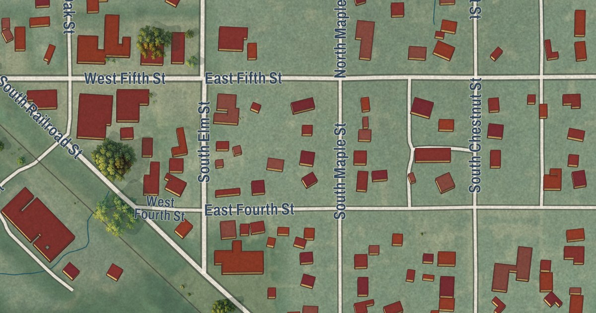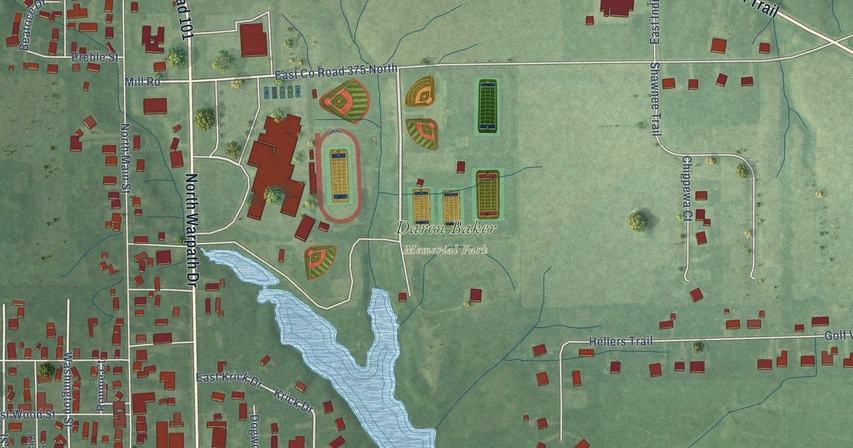
This beautifully detailed map of Milan, Indiana was created in 2026 using aerial imagery combined with modern topographical, census, street and landmark data. It’s a one-of-a-kind view of Milan that combines accurate data with a vintage aesthetic. The map shows every building in its true location, many of the roads carry their names, and the shaded topographic relief shows the shape of the land.
Explore an aerial view of Milan, Indiana
On the map you’ll find Milan Town Hall, Daren Baker Memorial Park, and Hoosier Links Golf Club, along with South Warpath Drive, State Road 101, State Road 350, West Indian Trail, North Warpath Drive, Depot Street, West Ellis Street, East Carr Street, South Main Street, and more. If you look closely you can even find your house accurately drawn in its correct location. Zoom in on the preview to look for yours.
Did you know this piece of Milan, Indiana history?
In 1954 tiny Milan High School beat Muncie Central to win the Indiana state basketball title. Milan was one of the smallest towns to take a state crown at that time. The 1986 movie Hoosiers is based on the story of that team.
Take a closer look at the Milan map
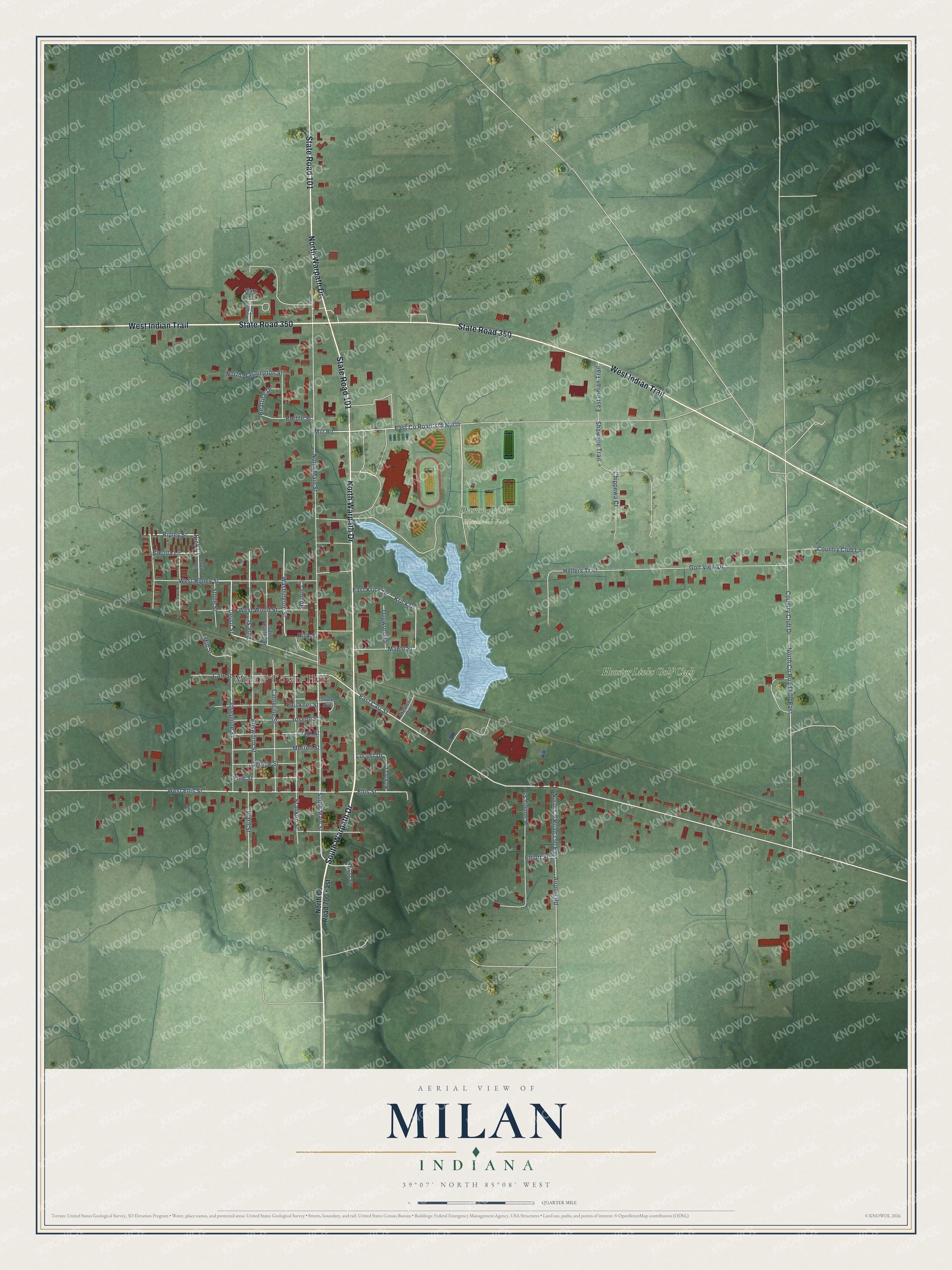
Street and place names on the Milan, Indiana map
These names are printed on the map of Milan, Indiana.
Places: Milan Town Hall, Daren Baker Memorial Park and Hoosier Links Golf Club.
Streets and roads: South Warpath Drive, State Road 101, State Road 350, West Indian Trail, North Warpath Drive, Depot Street, West Ellis Street, East Carr Street, South Main Street, Vine Street, Ripley Street, East County Road 375 North.
More street names, A to Z
Airport Road, Beatrice Drive, Brenda Lane, Carr Street, Catherine Street, Chippewa Court, Clark Street, Connely Street, Country Club Drive, Country Club Lane, David Drive, Dogwood Drive, East Indian Trail, East Krick Drive, Elliott Street, Ellis Street, Ellsworth Street, Faulkner Street, Franklin Street, George Street, Golf View Drive, Hellers Trail, Hickory Lane, Hunter Court, Josephine Street, Joseph Street, King Street, Krick Drive, Lakeview Drive, Locust Drive, Maple Street, Mill Road, Mill Street, Morrell Street, Nick Court, North County Road 700 East, North County Road 750 East, North County Road 800 East, North Main Street, North Washington Street, Preble Street, Rink Street, Ronnie Court, Rose Street, Saint Charles Street, Shawnee Trail, Stone Street, Stute Avenue, Warn Place, Warn Street, Washington Street, West Ripley Street, West Wood Street.
See the Milan, Indiana map on a wall
The Milan map as an 18 x 24 inch print in a black frame.

This beautifully detailed map of Milan makes an attractive addition to your office, library, or den, and it can even be used to teach children the geography and history of the area. It also makes a great gift for anyone who grew up in Milan or moved away. When you’re done exploring, click here to get your copy of the Milan map.