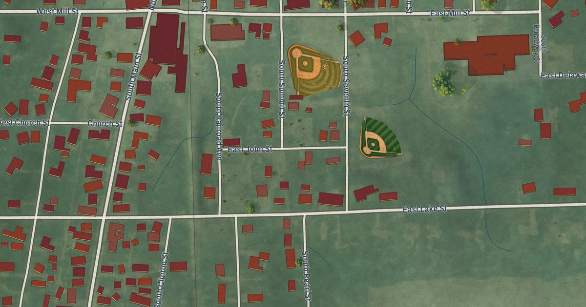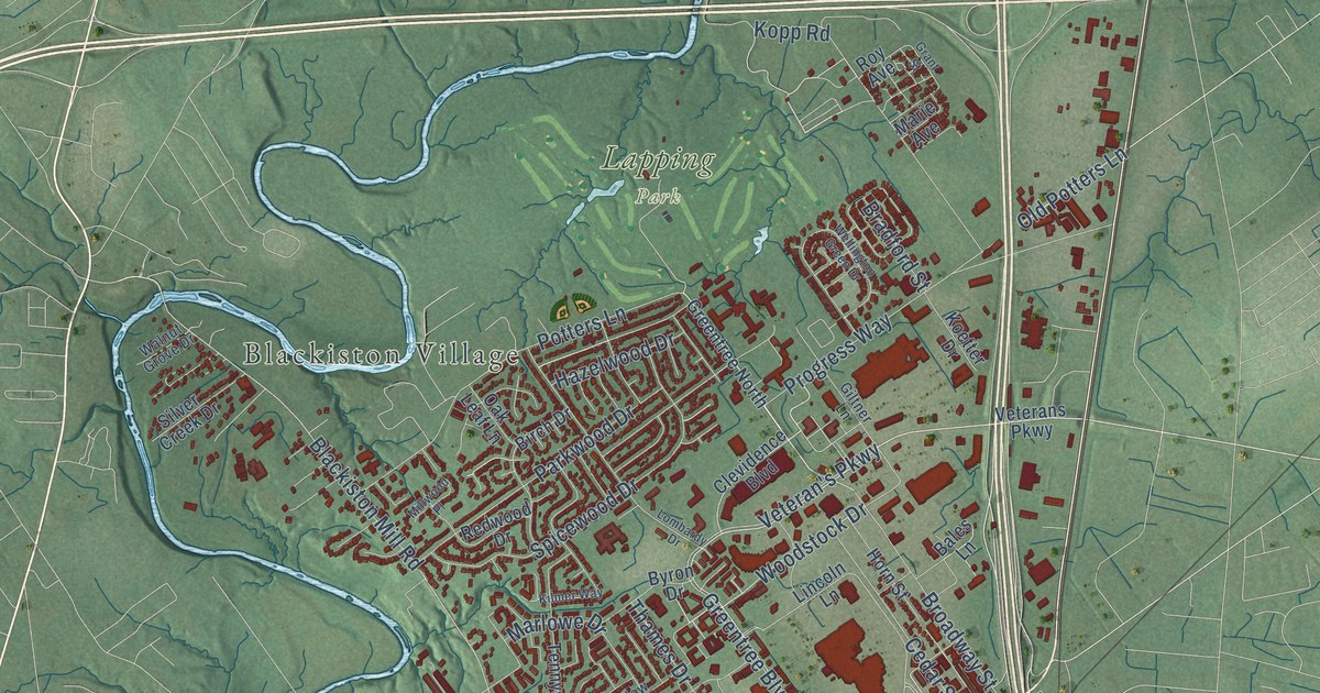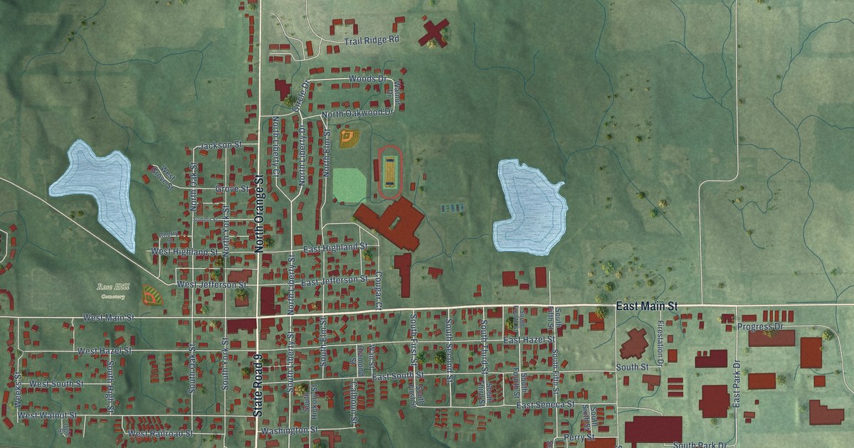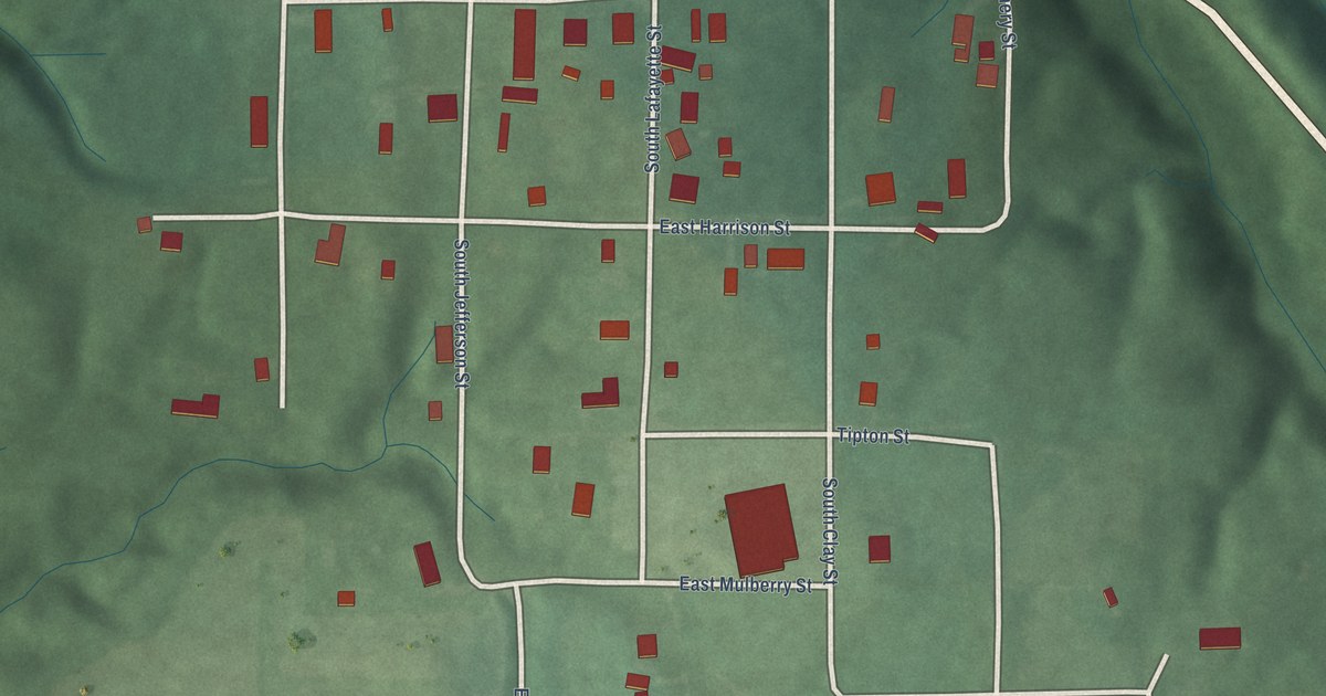
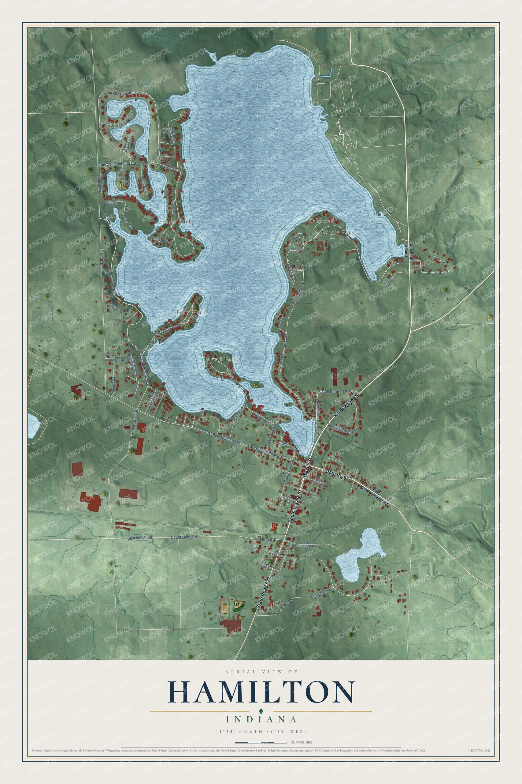
This beautifully detailed map of Hamilton, Indiana was created in 2026 using aerial imagery combined with modern topographical, census, street and landmark data. It’s a one-of-a-kind view of Hamilton that combines accurate data with a vintage aesthetic. The map shows every building in its true location, many of the roads carry their names, and the shaded topographic relief shows the shape of the land.
Explore an aerial view of Hamilton, Indiana
On the map you’ll find Circle Park, Oakwood, Forest Park, Island Park, and Penn Park, along with State Road 427, South Wayne Street, Wayne Street, North Wayne Street, State Road 1, South Enterprise Drive, Penn Park Road, and more. If you look closely you can even find your house accurately drawn in its correct location. Zoom in on the preview to look for yours.
Did you know this piece of Hamilton, Indiana history?
From the History of Steuben County Indiana: "In 1836 Nicanor Munson entered a tract of land including the wattr-power made by the outlet of Fish Lake, in all several hundred acres. The plat of Hamilton village is on this entry."
Take a closer look at the Hamilton map
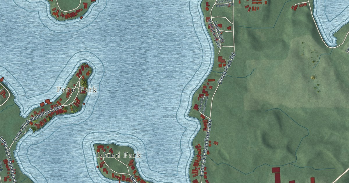
Street and place names on the Hamilton, Indiana map
These names are printed on the map of Hamilton, Indiana.
Places: Circle Park, Oakwood, Forest Park, Island Park, Penn Park, Lane 221 Hamilton Lake, Lane 280 Hamilton Lake, Lane 150 Hamilton Lake, Lane 210 Hamilton Lake, Lane 207 Hamilton Lake, Lane 230 Hamilton Lake and Lane 148 Hamilton Lake.
Streets and roads: State Road 427, South Wayne Street, Wayne Street, North Wayne Street, State Road 1, South Enterprise Drive, Penn Park Road, Terry Lane, Railroad Street, South Homestead Drive, Terry Lake Est, Terry Lake Road.
More street names, A to Z
280 East, Beecher Street, Circle Park Road, County Line Road, Depot Place, East 800 South, East Bellefontaine Road, East Bellefountaine Road, East Church Street, East Mill Street, East Railroad Street, East Russell Point Road, East Zion Street, Island Park Road, Lane 150, Lane 220 Hamilton Lk, Lane 250 Hamilton Lk, Lane 270 Hamilton Lk, Lane 271 Hamilton Lk, Lane 281 Hamilton Lk, Lane 282 Hamilton Lk, Lane 283 Hamilton Lk, Meadow Lane, Oak Street, Old State Highway 1, Peninsula Street, Renner Street, South 300 East, South Brookside Drive, South Lake Street, South State Road 1, Stone Street, West Center Street, West Oak Street.
See the Hamilton, Indiana map on a wall
The Hamilton map as an 18 x 24 inch print in a black frame.

This beautifully detailed map of Hamilton makes an attractive addition to your office, library, or den, and it can even be used to teach children the geography and history of the area. It also makes a great gift for anyone who grew up in Hamilton or moved away. When you’re done exploring, click here to get your copy of the Hamilton map.