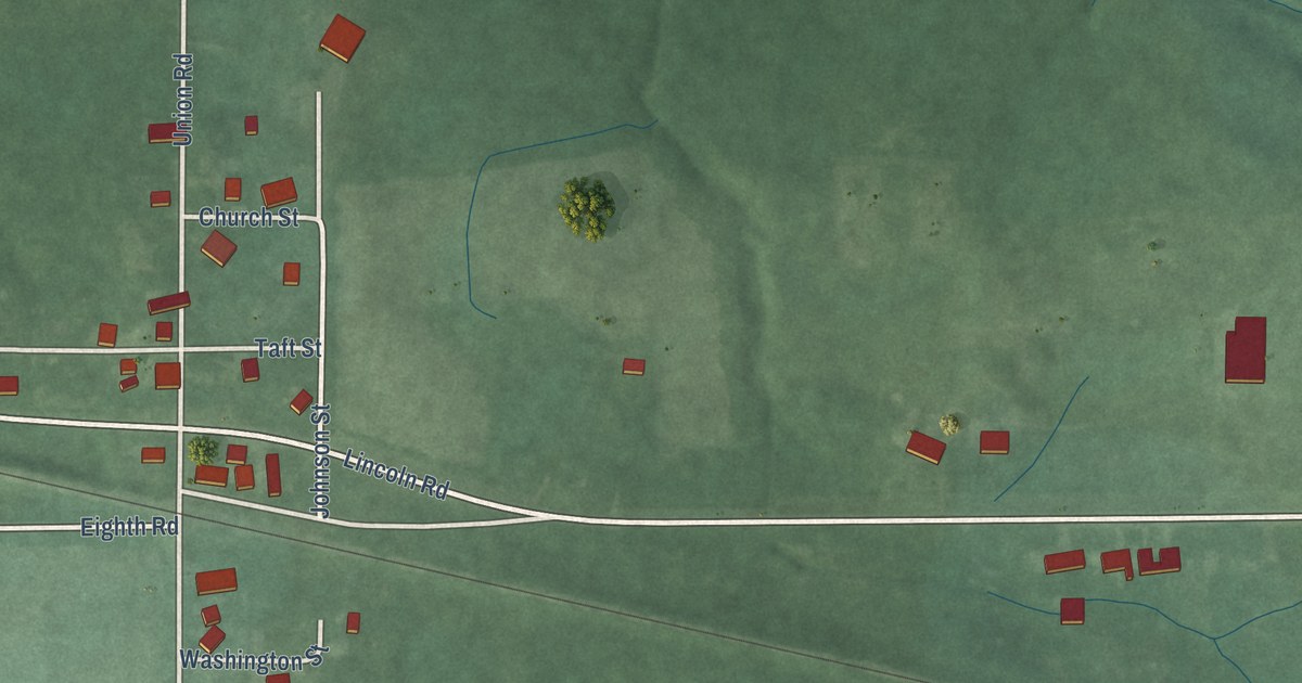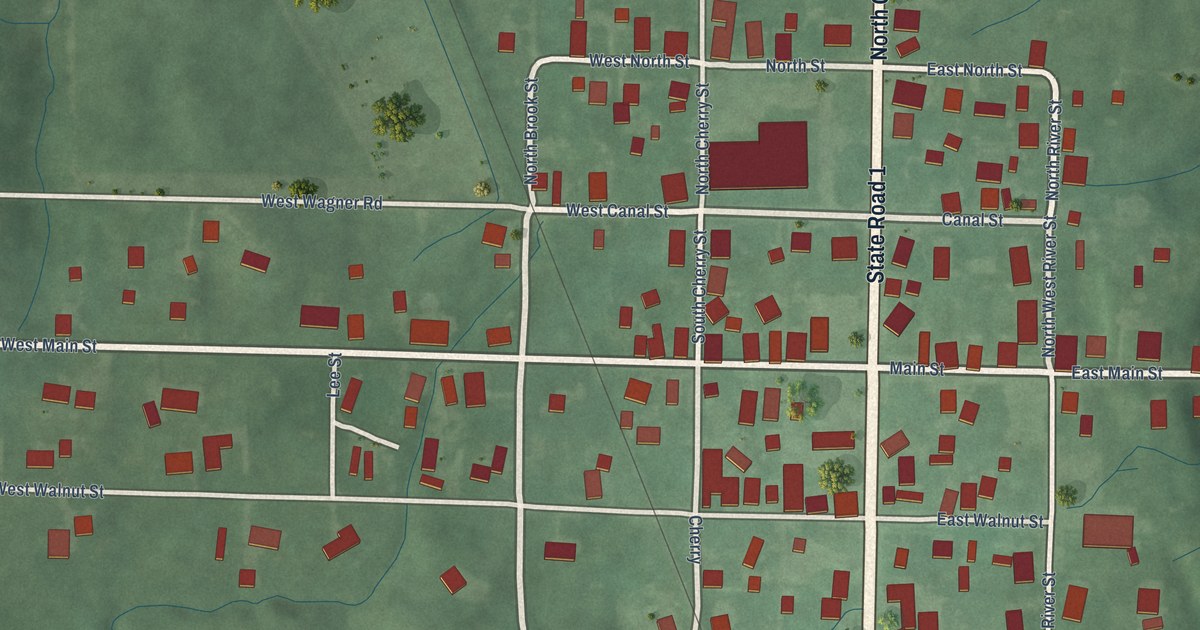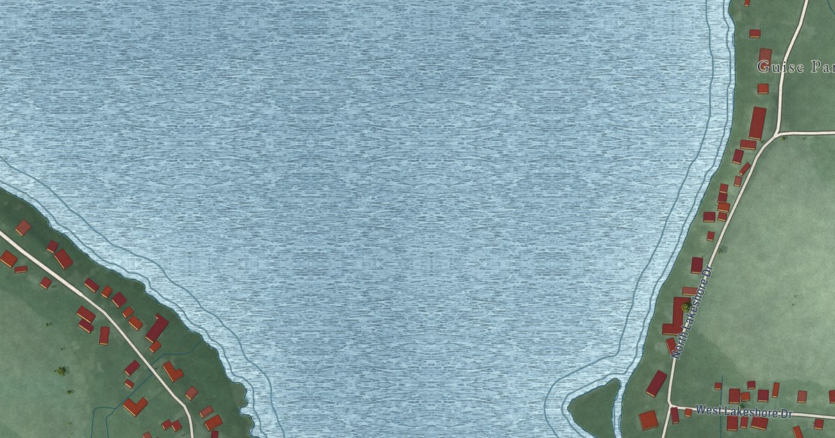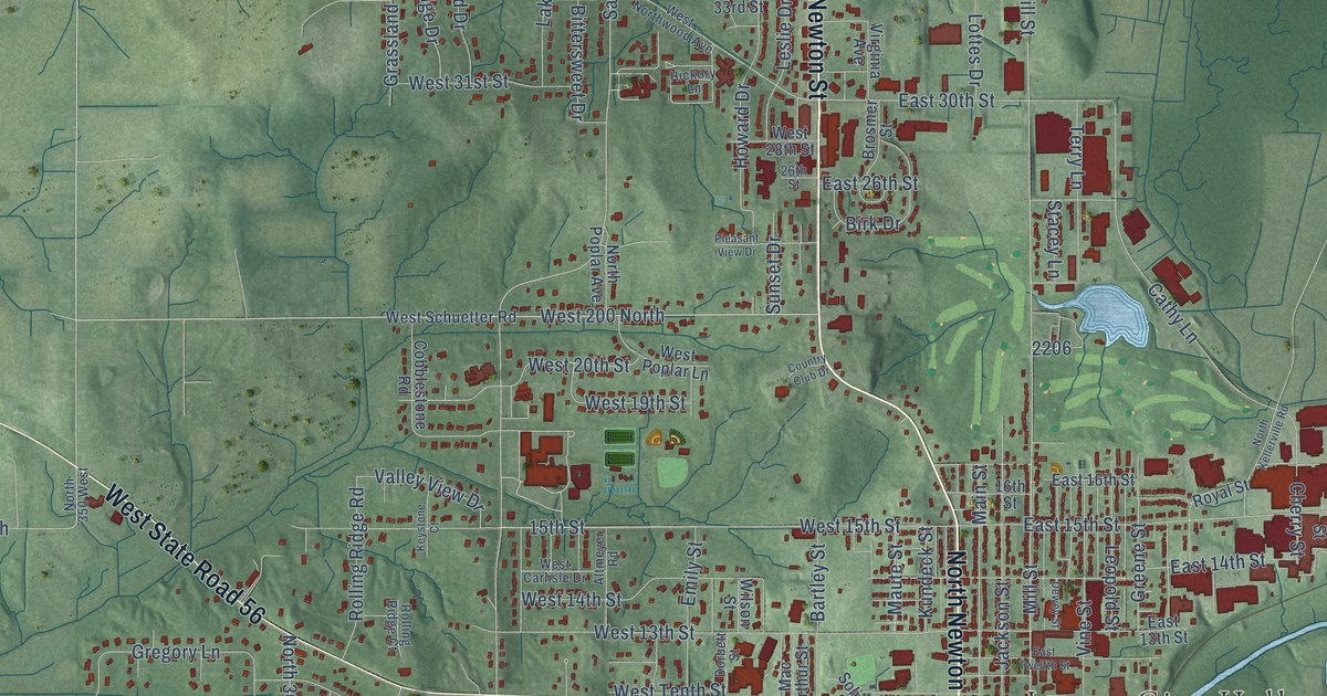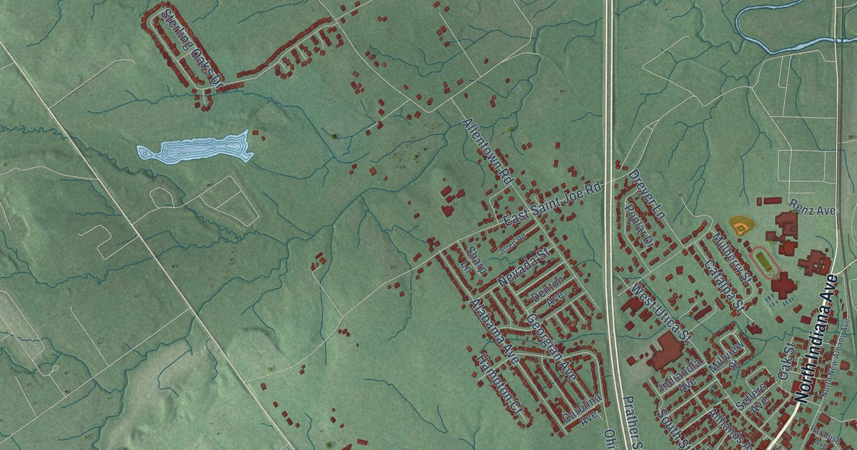
This beautifully detailed map of Sellersburg, Indiana was created in 2026 using aerial imagery combined with modern topographical, census, street and landmark data. It’s a one-of-a-kind view of Sellersburg that combines accurate data with a vintage aesthetic. The map shows every building in its true location, many of the roads carry their names, and the shaded topographic relief shows the shape of the land.
Explore an aerial view of Sellersburg, Indiana
On the map you’ll find Hamburg, along with North Indiana Avenue, South Indiana Avenue, State Road 311, State Road 60, Highway 31 East, East Utica Street, Payne Koehler Road, Greenbriar Boulevard, Popp Avenue, Ohio Avenue, South Penn Avenue, and more. If you look closely you can even find your house accurately drawn in its correct location. Zoom in on the preview to look for yours.
Did you know this piece of Sellersburg, Indiana history?
From the Town of Sellersburg: "Originally the railroad in Sellersburg was called Jeffersonville and Indianapolis Railroad. It was renamed Jeffersonville, Madison and Indianapolis Railroad in 1866."
Take a closer look at the Sellersburg map
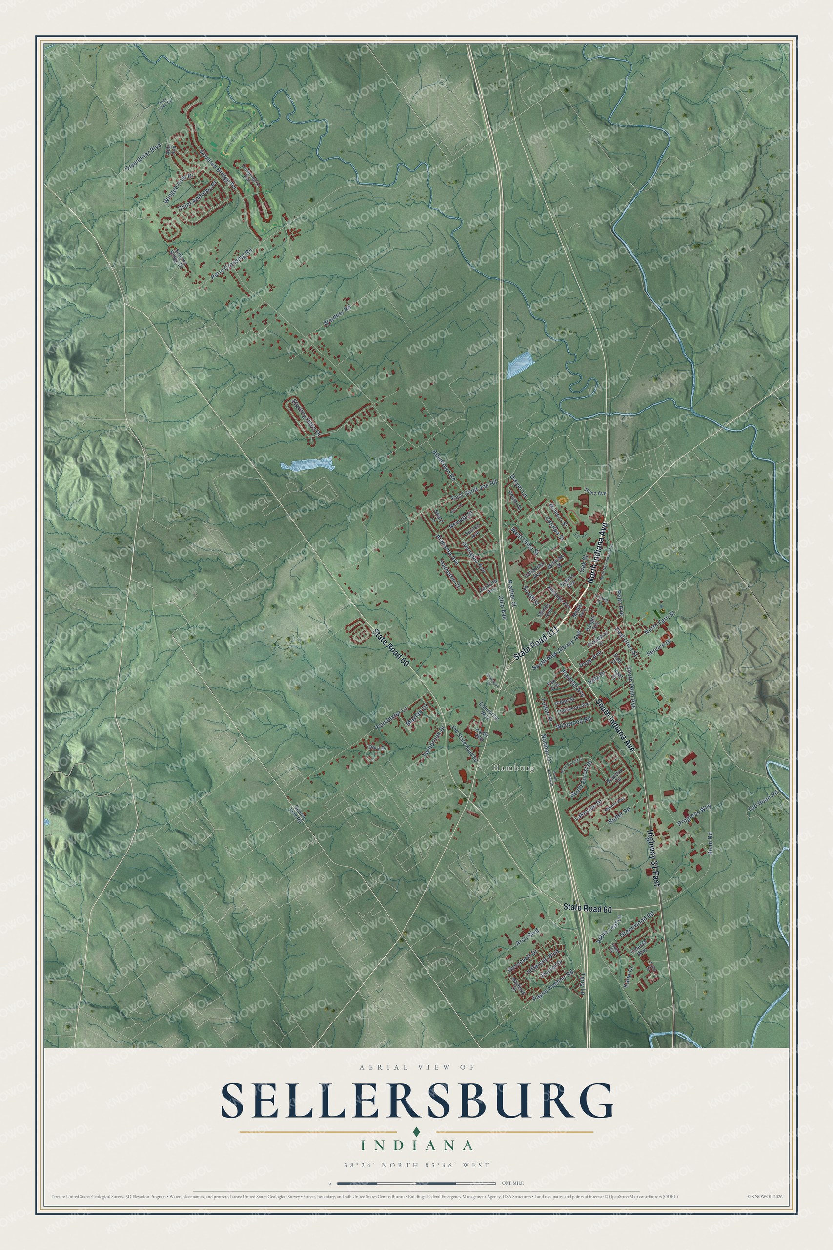
Street and place names on the Sellersburg, Indiana map
These names are printed on the map of Sellersburg, Indiana.
Places: Hamburg.
Streets and roads: North Indiana Avenue, South Indiana Avenue, State Road 311, State Road 60, Highway 31 East, East Utica Street, Payne Koehler Road, Greenbriar Boulevard, Popp Avenue, Ohio Avenue, South Penn Avenue, South New Albany Avenue.
More street names, A to Z
Alabama Avenue, Alden Street, Allen Road, Allentown Road, Allhands Avenue, Amy Avenue, Angel Run, Apple Leaf Lane, Arco Boulevard, Autumn Ridge Drive, Bean Road, Brandon Circle, Broadway Street, Butler Road, Carolina Avenue, Catalpa Street, Celesta Way, County Line Road, Covered Bridge Road, Deer Lake Drive, Denton Avenue, Dora Drive, Dreyer Lane, East Saint Joe Road, Enterprise Way, Enterprize Drive, Fulton Street, Georgian Avenue, Greenwood Road, Hampton Court, Hanger Avenue, Hardy Way, Hummingbird Way, Indianola Avenue, Jackson Drive, Jefferson Boulevard, Kahl Court, Kahl Street, Karie Drive, Kay Avenue, Lake Drive, Lakeside Drive, Linnwood Avenue, Madison Drive, Maple Avenue, Mayfair Drive, Millview Street, Miners Way, Mulberry Street, Nevada Street, Norman Drive, North Fern Street, North Forrest Drive, North New Albany Avenue, Oak Street, Old Bean Road, Old State Road 60, Paradise Avenue, Parallel Avenue, Penn Avenue, Perry Crossing Road, Poindexter Lane, Poplar Drive, Prather Street, Progress Way, Renz Avenue, Roosevelt Drive, Saint Andrews Place, Sellers Avenue, Service Drive, Sharp Lane, Shirley Avenue, South Forest Drive, South Norman Drive, South Street, Sterling Oaks Drive, Terry Lane, Twinbrook Drive, Villa Drive, Weidner Road, West Utica Street, Wildwood Road, Winged Foot Drive.
See the Sellersburg, Indiana map on a wall
The Sellersburg map as an 18 x 24 inch print in a black frame.

This beautifully detailed map of Sellersburg makes an attractive addition to your office, library, or den, and it can even be used to teach children the geography and history of the area. It also makes a great gift for anyone who grew up in Sellersburg or moved away. When you’re done exploring, click here to get your copy of the Sellersburg map.