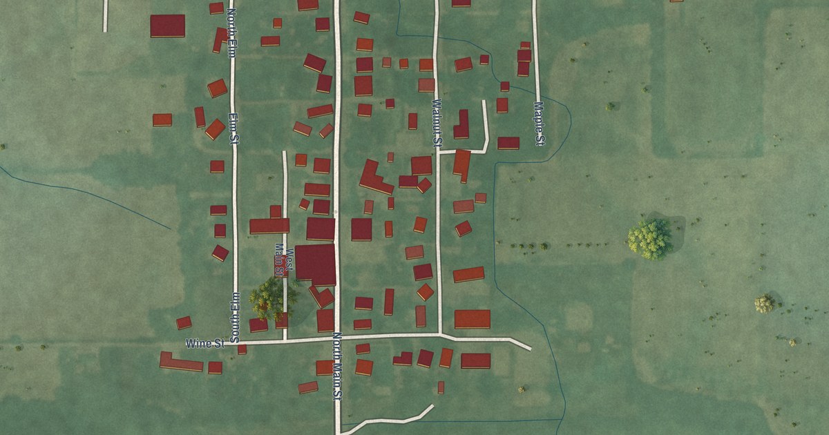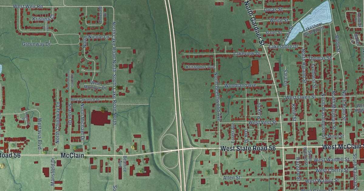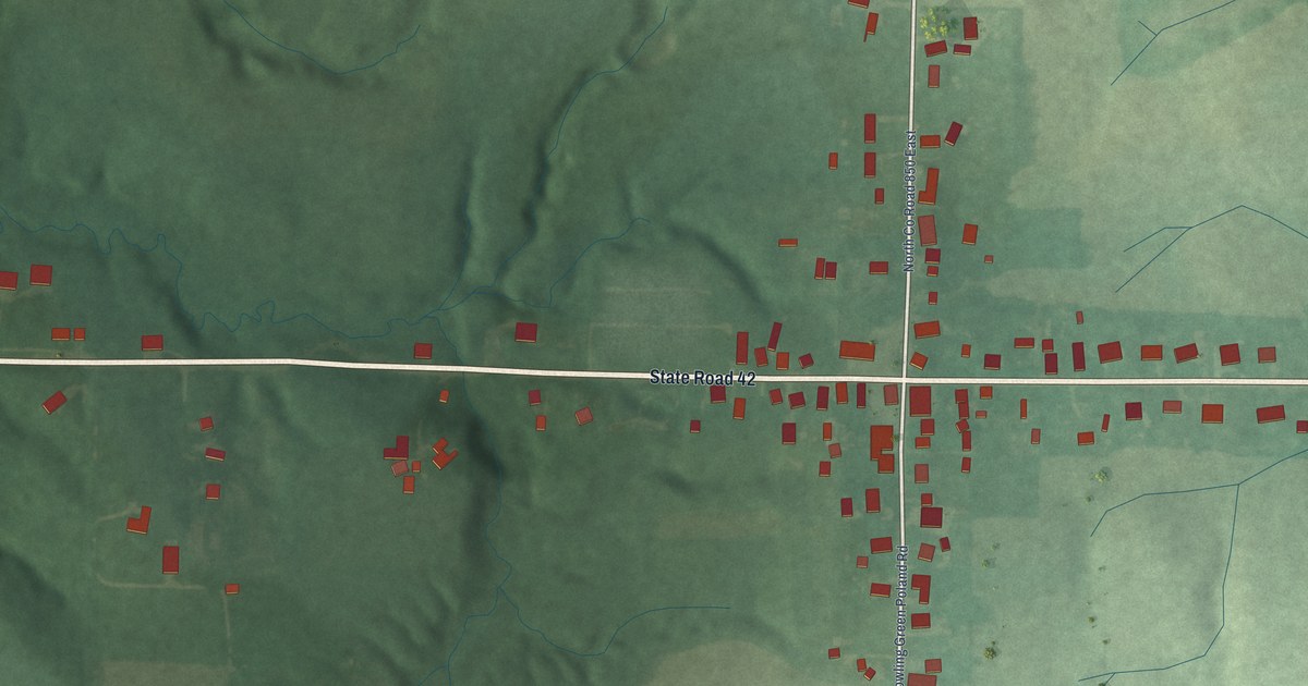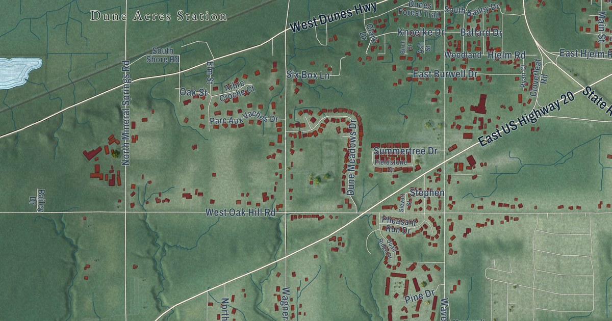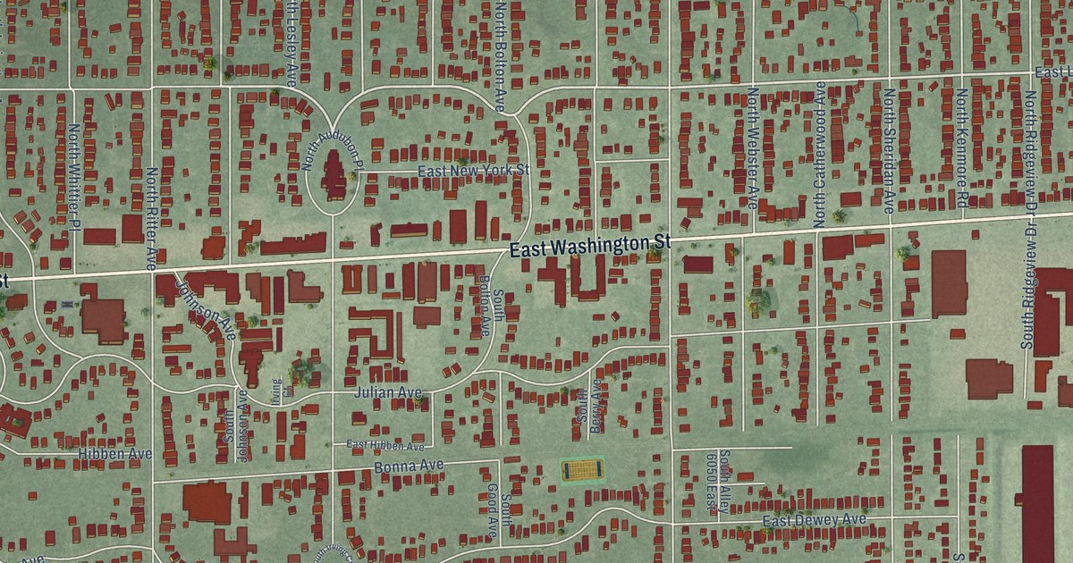
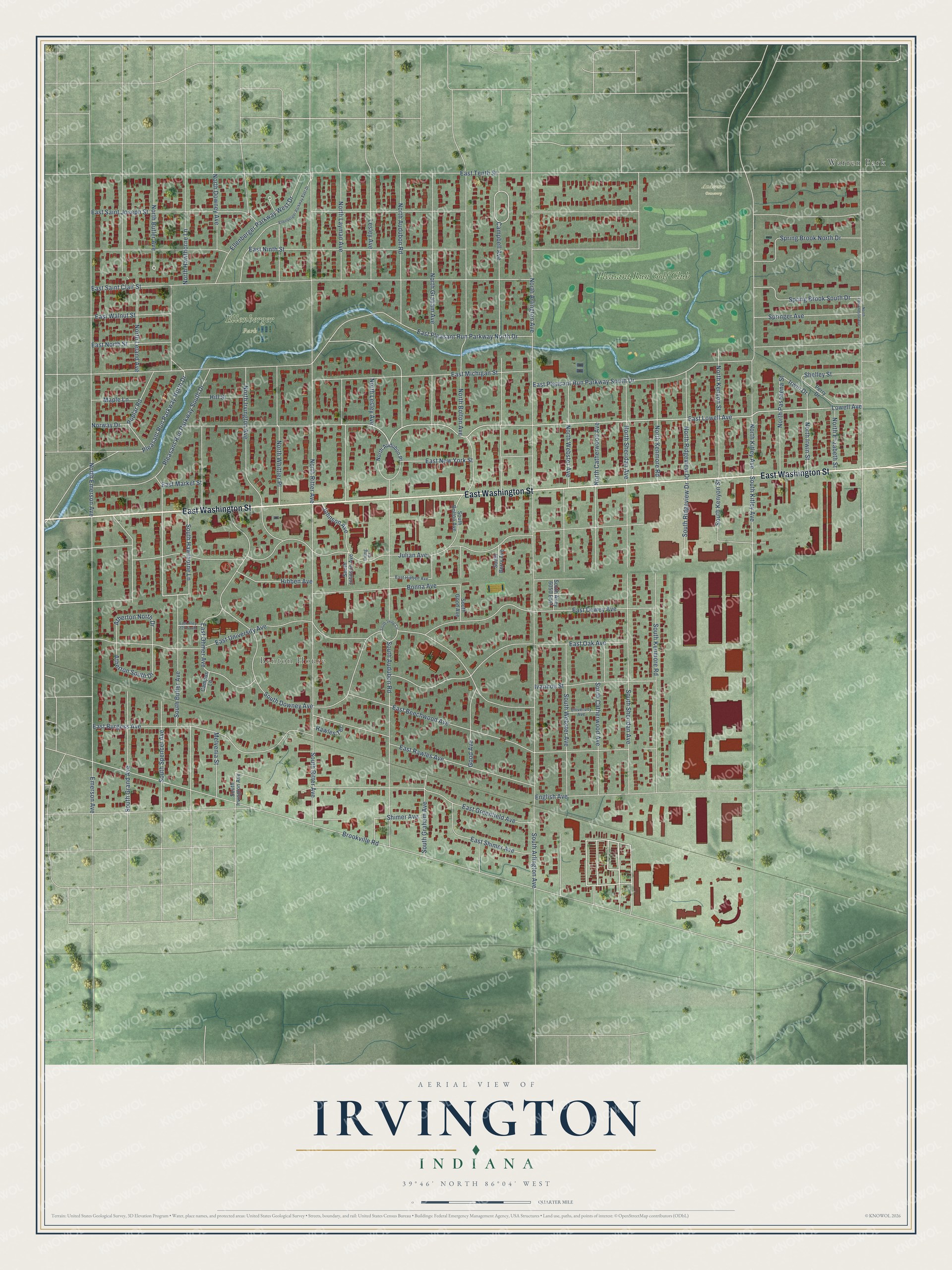
This beautifully detailed map of Irvington, Indiana was created in 2026 using aerial imagery combined with modern topographical, census, street and landmark data. It’s a one-of-a-kind view of Irvington that combines accurate data with a vintage aesthetic. The map shows every building in its true location, many of the roads carry their names, and the shaded topographic relief shows the shape of the land.
Explore an aerial view of Irvington, Indiana
On the map you’ll find Benton House, Ellenberger Park, Anderson Cemetery, Warren Park, and Pleasant Run Golf Club, along with East Washington Street, Lowell Avenue, Brookville Road, East Lowell Avenue, South Butler Avenue, Hibben Avenue, Campbell Avenue, and more. If you look closely you can even find your house accurately drawn in its correct location. Zoom in on the preview to look for yours.
Did You Know?
Sylvester Johnson and Jacob Julian founded Irvington in 1870 as a quiet suburban town. They named it after the writer Washington Irving. Its curving dirt and brick lanes followed Romantic era landscape design. Artists, generals, professors and business leaders made homes here. Indianapolis annexed the town in 1902.
Irvington is a place in Marion County.
Take a closer look at the Irvington map
Names on this map
These names are printed on this map.
Places: Benton House, Ellenberger Park, Anderson Cemetery, Warren Park and Pleasant Run Golf Club.
Streets and roads: East Washington Street, Lowell Avenue, Brookville Road, East Lowell Avenue, South Butler Avenue, Hibben Avenue, Campbell Avenue, Pleasant Run Parkway North Drive, South Kenyon Street, Irwin Drive, Julian Avenue, East Ninth Street.
More street names, A to Z
Atherton North Drive, Atherton South Drive, Bonna Avenue, Campus Lane, East Alley 225 South, East Beechwood Avenue, East Burgess Avenue, East Dewey Avenue, East Greenfield Avenue, East Hibben Avenue, East Market Street, East Michigan Street, East New York Street, East North Street, East Oak Avenue, East Ohmer Avenue, East Pleasant Run Parkway North Drive, East Pleasant Run Parkway South Drive, East Rawles Avenue, East Saint Clair Street, East Saint Joseph Street, East Shimer Avenue, East Tenth Street, East University Avenue, East Walnut Street, Ellenberger Parkway East Drive, Ellenberger Parkway West Drive, Emerson Avenue, English Avenue, Good Avenue, Hill Street, Irving Court, Ivanhoe Street, Johnson Avenue, Lesley Avenue, Maple Lane, Melvenia Street, North Arlington Avenue, North Audubon Place, North Audubon Road, North Bolton Avenue, North Butler Avenue, North Catherwood Avenue, North Downey Avenue, North Edmondson Avenue, North Elizabeth Street, North Emerson Avenue, North Graham Avenue, North Hawthorne Lane, North Irvington Avenue, North Irwin Street, North Kenmore Road, North Kenyon Street, North Kitley Avenue, North Layman Avenue, North Leland Avenue, North Lesley Avenue, North Pasadena Street, North Ridgeview Drive, North Ritter Avenue, North Sheridan Avenue, North Webster Avenue, North Whittier Place, Norway Drive, Perry Drive, Pleasant Run Parkway South Drive, Poplar Road, Rawles Terrace, Shelley Street, Shimer Avenue, South Alley 6050 East, South Arlington Avenue, South Audubon Road, South Berry Avenue, South Bolton Avenue, South Catherwood Avenue, South Downey Avenue, South Good Avenue, South Graham Avenue, South Grand Avenue, South Hawthorne Lane, South Irving Circle, South Irvington Avenue, South Johnson Avenue, South Kenmore Road, South Kitley Avenue, South Ridgeview Drive, South Ritter Avenue, South Sheridan Avenue, South Spencer Avenue, South Webster Avenue, Spring Brook North Drive, Spring Brook South Drive, Springer Avenue, University Avenue.
See it on a wall
The Irvington map as a framed print. Swipe for more.


This beautifully detailed map of Irvington makes an attractive addition to your office, library, or den, and it can even be used to teach children the geography and history of the area. It also makes a great gift for anyone with Irvington roots. When you’re done exploring, click here to get your copy of the Irvington map.