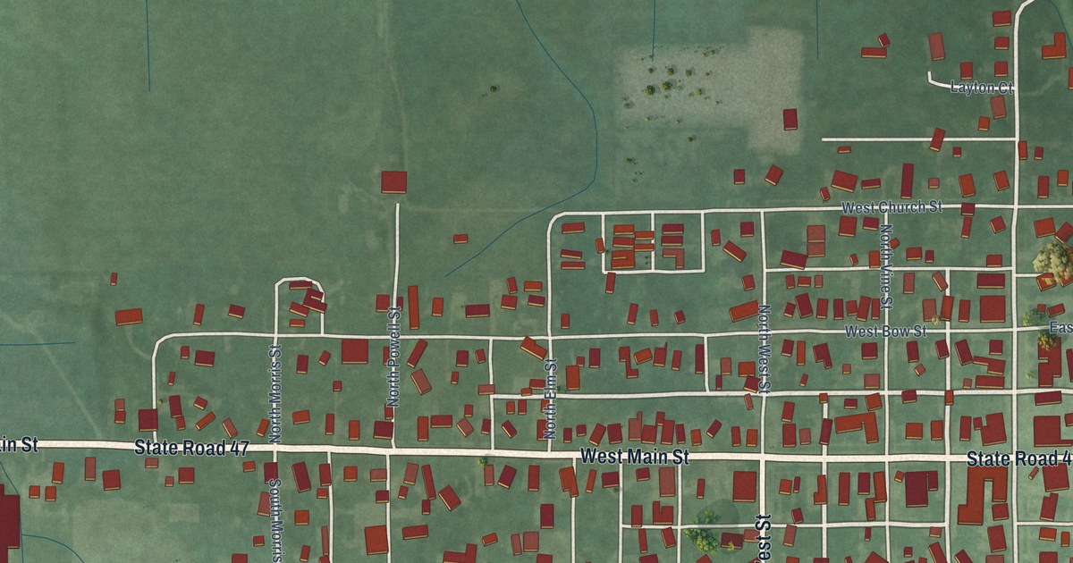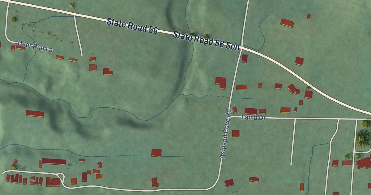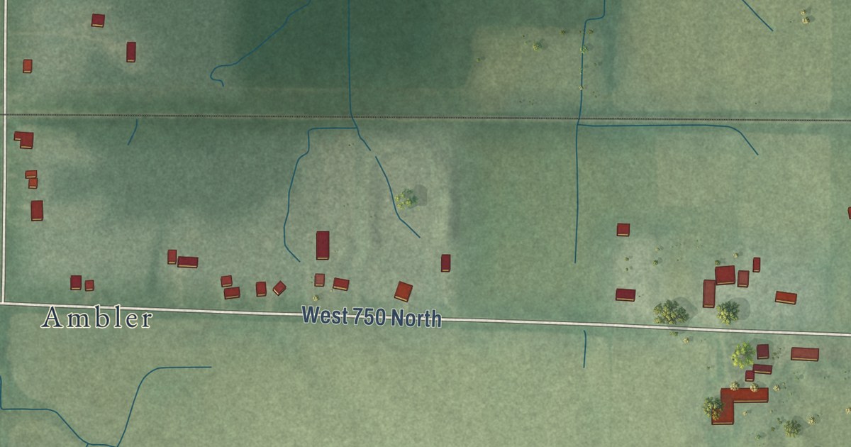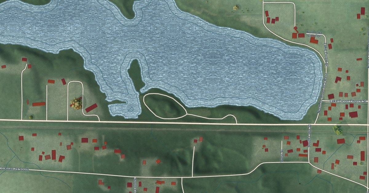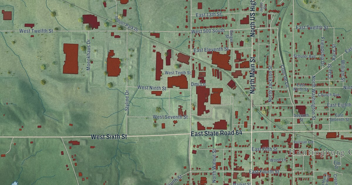
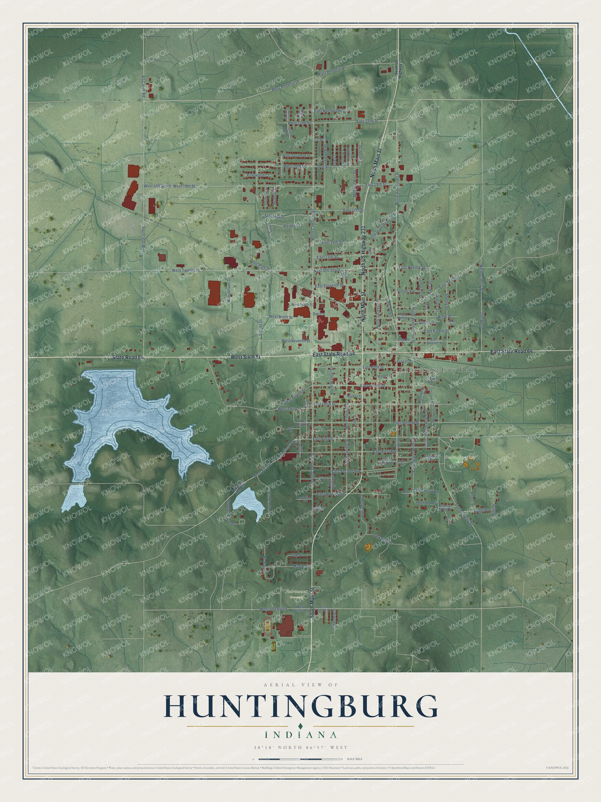
This beautifully detailed map of Huntingburg, Indiana was created in 2026 using aerial imagery combined with modern topographical, census, street and landmark data. It’s a one-of-a-kind view of Huntingburg that combines accurate data with a vintage aesthetic. The map shows every building in its true location, many of the roads carry their names, and the shaded topographic relief shows the shape of the land.
Explore an aerial view of Huntingburg, Indiana
On the map you’ll find Huntingburg City Hall, Fairmount Cemetery, Huntingburg City Park, and East State Road 64, along with State Road 64, South Main Street, West Sixth Street, North Main Street, North US Highway 231, North Van Buren Street, Cour de Lane, North Chestnut Street, and more. If you look closely you can even find your house accurately drawn in its correct location. Zoom in on the preview to look for yours.
Did you know this piece of Huntingburg, Indiana history?
Huntingburg’s town hall served for years as both the seat of government and a community center. It combined council chambers, a fire engine room and a stage under one roof. That’s from the National Park Service nomination.
Take a closer look at the Huntingburg map
Street and place names on the Huntingburg, Indiana map
These names are printed on the map of Huntingburg, Indiana.
Places: Huntingburg City Hall, Fairmount Cemetery and Huntingburg City Park.
Streets and roads: State Road 64, South Main Street, West Sixth Street, North Main Street, North US Highway 231, East State Road 64, North Van Buren Street, Cour de Lane, North Chestnut Street, West First Street, West Phoenix Drive, West 500 South.
More street names, A to Z
20th Street, 21 Street, 200 West, Angle Lane, Anthony Court, Applewood Road, Cedar Heights, Cherry Lane, Cherry Ridge Drive, Christopher Court, Church Avenue, Clay Street, Crestview Drive, Dmi Lane, Dogwood Court, East 13th Street, East 14th Street, East 17th Street, East 19th Street, East 22nd Street, East Eighth Street, East Eleventh Street, East Fifth Avenue, East Fifth Street, East First Avenue, East First Street, East Fourth Avenue, East Fourth Street, East Ninth Street, East Northview Drive, East Phoenix Drive, East Second Avenue, East Second Street, East Seventh Street, East Sunrise Drive, East Sunset Drive, East Tenth Street, East Third Avenue, East Third Street, East Twelfth Street, Ell Creek Road, Elm Street, Erin Court, Foxtrot Court, Friendship Drive, Geiger Street, Hickory Drive, Hill Lane, Huff Street, Indutrl Park Drive, Irvine Court, Jacob Court, Langebrake Drive, Leland Drive, Lincoln Drive, Long Cove Drive, Maple Street, Marie Court, Market Street, Medical Arts Drive, Moenkhaus Drive, Ninth Street, North Anya Court, North Arjem Street, North Cherry Street, North Geiger Street, North Jackson Street, North Niehaus Trail, North Walnut Street, North Washington Street, Oak Street, Oakwood Drive, Old Holland Road, Old State Road 64, Old State Road 231, Orchard Lane, Orchard Road, Parkview Drive, Pebble Beach Drive, Pinewood Court, Race Street, Raider Court, Railroad Avenue, Redbud Court, Ridgeway Drive, Rocky Lane, Roger Street, Saint Mary's Drive West, Schuler Avenue, Seventh Street, Shelby Street, South 400 West, South Anya Court, South Arjem Street, South Cherry Street, South Chestnut Street, South Geiger Street, South Park Drive, South Sycamore Street, South US Highway 231, South Van Buren Street, South Walnut Street, South Washington Street, Stellar Way, Styline Drive, Villa Drive, Vogel Avenue, West 19th Street, West 20th Street, West 22nd Street, West 450 South, West 700 South, West Fourth Street, West Ninth Street, West Savannah Drive, West Second Street, West Seventh Street, West Sunset Drive, West Tenth Street, West Third Street, West Twelfth Street, William Street, Wood Lane.
See the Huntingburg, Indiana map on a wall
The Huntingburg map as an 18 x 24 inch print in a black frame.

This beautifully detailed map of Huntingburg makes an attractive addition to your office, library, or den, and it can even be used to teach children the geography and history of the area. It also makes a great gift for someone who left Huntingburg and still calls it home. When you’re done exploring, click here to get your copy of the Huntingburg map.