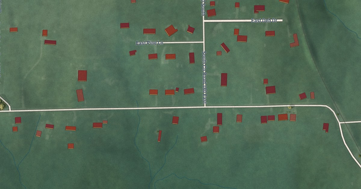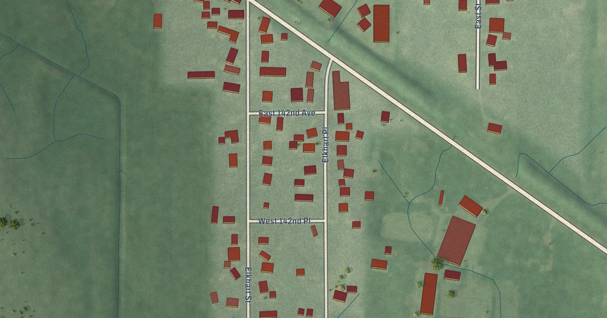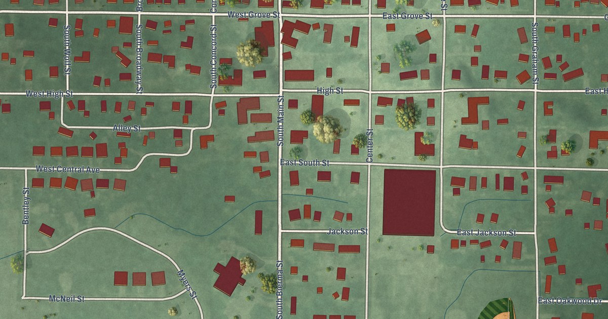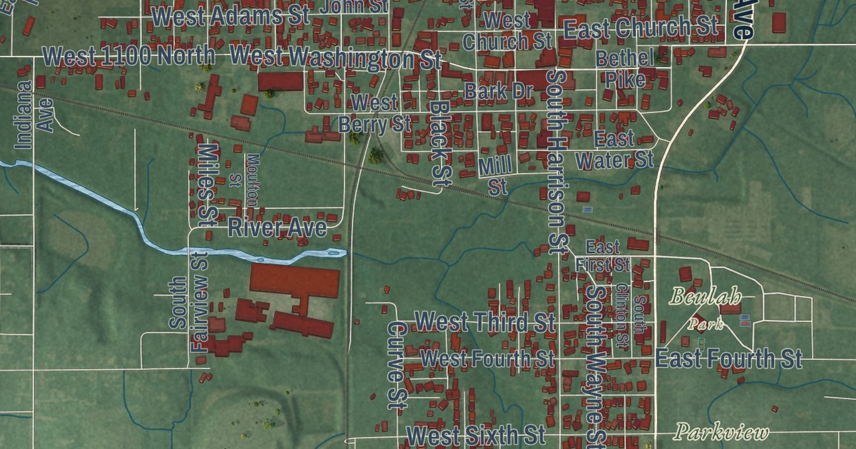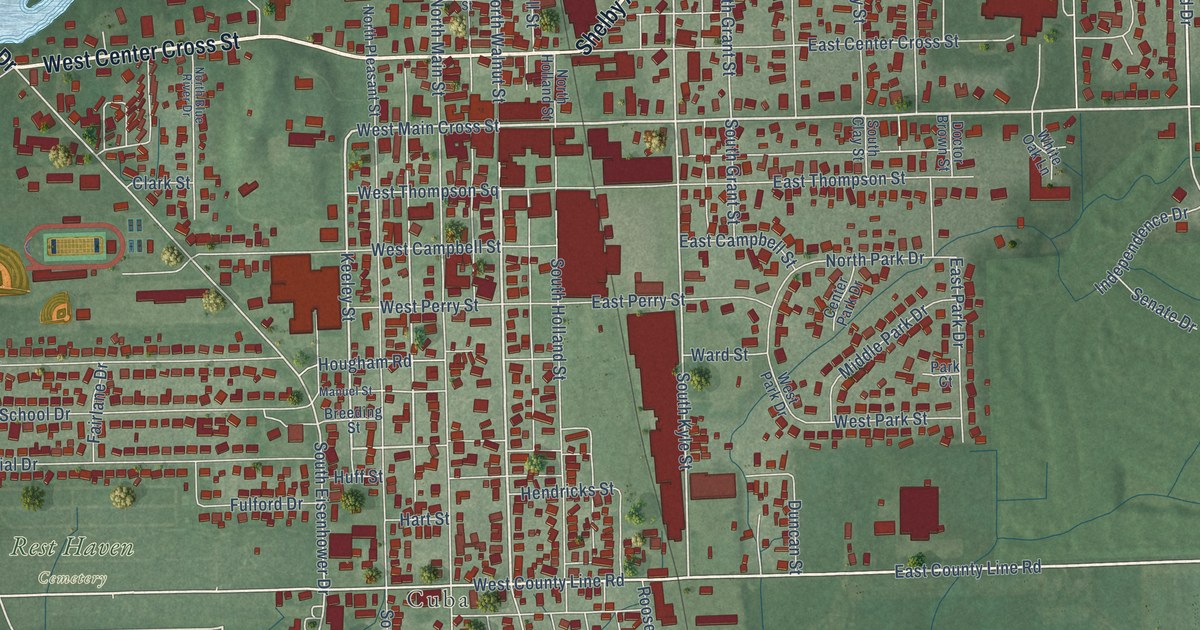
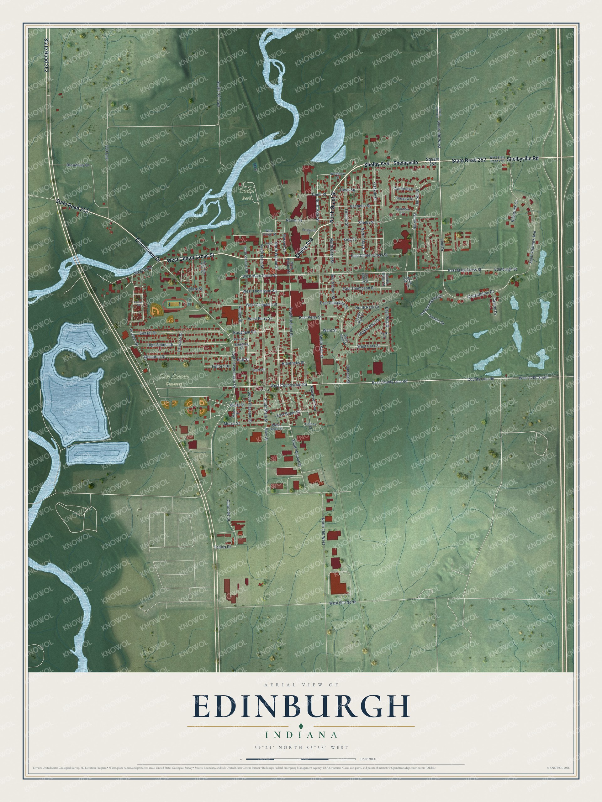
This beautifully detailed map of Edinburgh, Indiana was created in 2026 using aerial imagery combined with modern topographical, census, street and landmark data. It’s a one-of-a-kind view of Edinburgh that combines accurate data with a vintage aesthetic. The map shows every building in its true location, many of the roads carry their names, and the shaded topographic relief shows the shape of the land.
Explore an aerial view of Edinburgh, Indiana
On the map you’ll find Cuba, Irwin Park, Rest Haven Cemetery, and Shelbyville, along with Shelby Avenue, North Grant Street, West Center Cross Street, State Road 252, Shelbyville Road, Eisenhower Drive, East Main Cross Street, South Walnut Street, and more. If you look closely you can even find your house accurately drawn in its correct location. Zoom in on the preview to look for yours.
Did you know this piece of Edinburgh, Indiana history?
From the Indiana Gazetteer: "Edinburgh was settled in 1821, by William Hunt, W. R. Hensley, John Adams, Israel Watts, Lewis Bishop and Alexander Thompson."
Take a closer look at the Edinburgh map
Street and place names on the Edinburgh, Indiana map
These names are printed on the map of Edinburgh, Indiana.
Places: Cuba, Irwin Park and Rest Haven Cemetery.
Streets and roads: Shelby Avenue, Shelbyville, North Grant Street, West Center Cross Street, State Road 252, Shelbyville Road, Eisenhower Drive, East Main Cross Street, South Walnut Street, Lind Drive, East County Line Road, County Line Road.
More street names, A to Z
650 East, Bachelor Street, Breeding Street, Broadway Drive, Cambridge, Capitol Drive, Center Park Drive, Charlotte Drive, Clark Street, Constitution Drive, Critney Street, Doctor Brown Street, Duckworth Street, Duncan Street, East Bryan Street, East Campbell Street, East Center Cross Street, East Park Drive, East Perry Street, East Thompson Street, Edinburgh Street, Fairlane Drive, Franklin Street, Fulford Drive, Glasgow Drive, Harrell Drive, Harrell Street, Hart Street, Hendricks Street, High School Drive, Hougham Road, Huff Street, Independence Drive, Keeley Street, Kilpatrick Court, King Street, Lincoln Street, Maier Street, Main Street, Manuel Street, Memorial Drive, Middle Park Drive, Morris Street, Naomi Street, North 250 West, North Blue River Drive, North Clay Street, North Holland Street, North Kyle Street, North Main Street, North Park Drive, North Pleasant Street, North Walnut Street, Park Court, Plum Street, Prosser Drive, Prosser Road, Rainbow Lane, Roosevelt Avenue, Russell Street, Saint Andrews Avenue, Senate Drive, Shelby Street, South 700 East, South 800 East, South 900 West, South Clay Street, South Eisenhower Drive, South Grant Street, South Holland Street, South Kyle Street, South Main Street, South Pleasant Street, Square 252, Sunset Drive, Tobias Drive, Toner Square, Toner Street, Waltz Street, Ward Street, West 900 North, West 1200 South, West Bitum Street, West Campbell Street, West County Line Road, West Main Cross Street, West Park Drive, West Park Street, West Perry Street, West River, West State Road 252, West Thompson Square, West Union Street, White Oak Lane, Woodrow Street.
See the Edinburgh, Indiana map on a wall
The Edinburgh map as an 18 x 24 inch print in a black frame.

This beautifully detailed map of Edinburgh makes an attractive addition to your office, library, or den, and it can even be used to teach children the geography and history of the area. It also makes a great gift for anyone with Edinburgh roots. When you’re done exploring, click here to get your copy of the Edinburgh map.