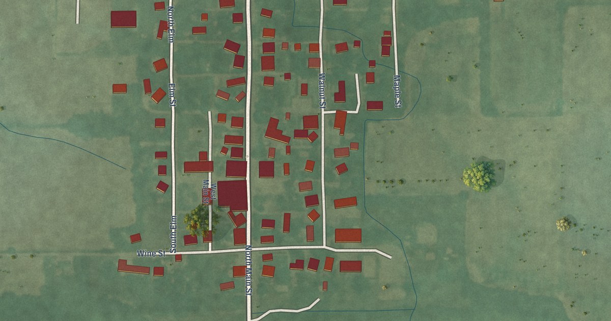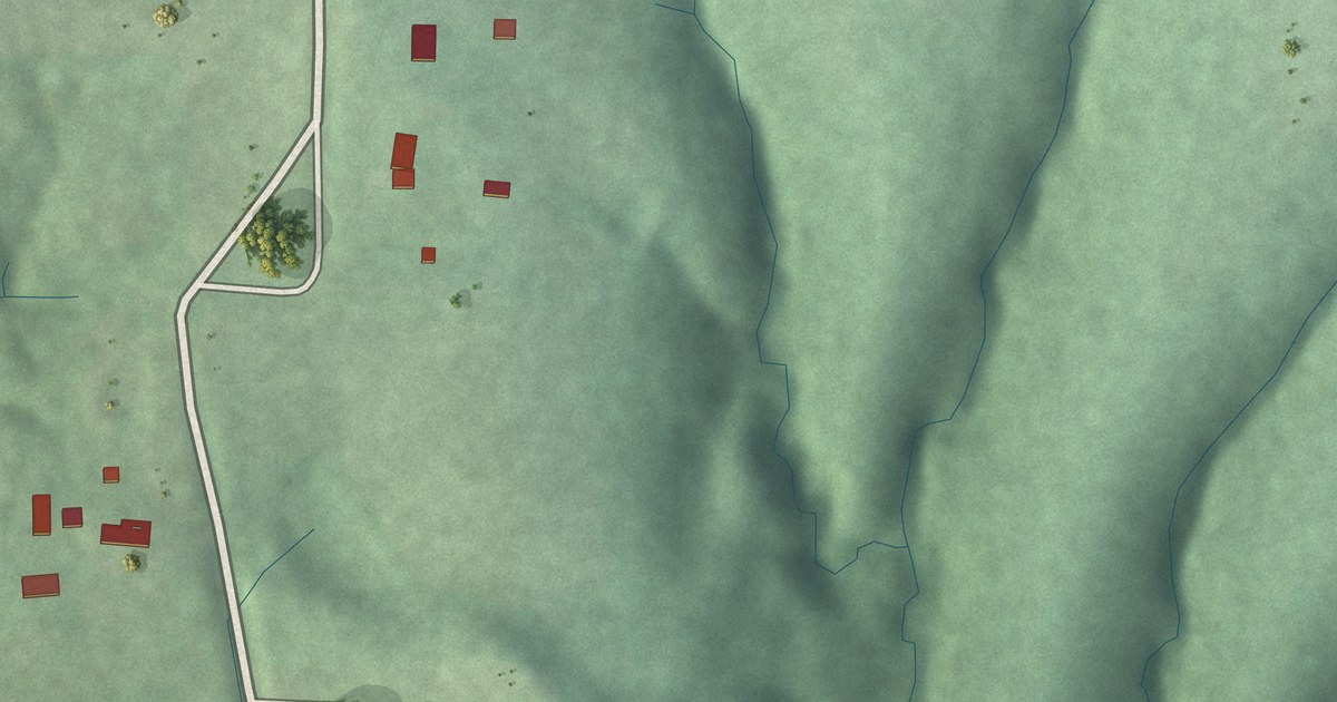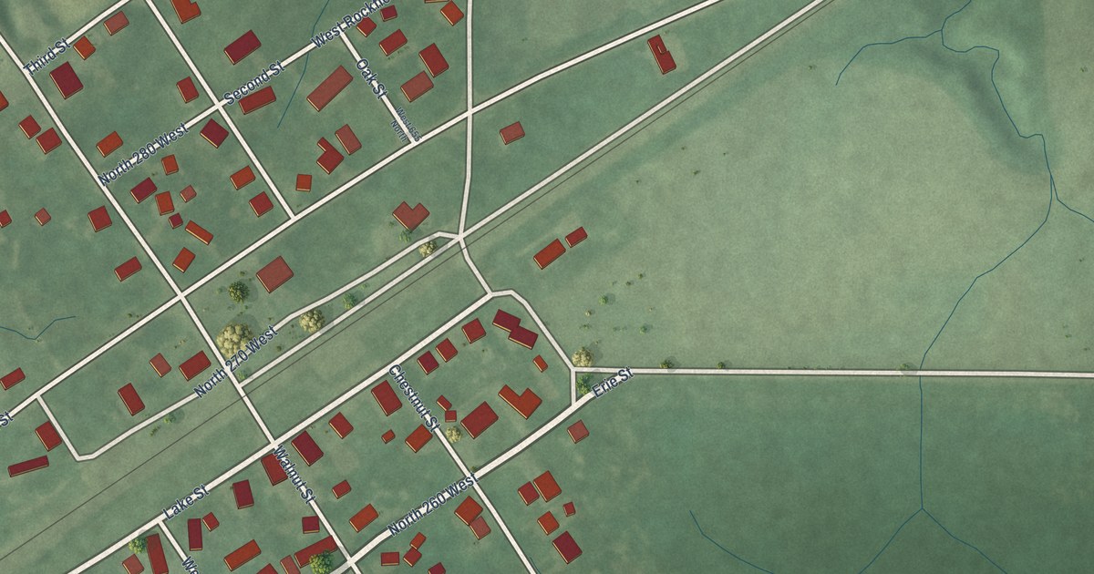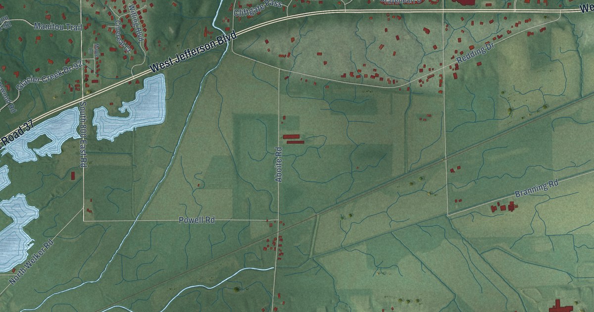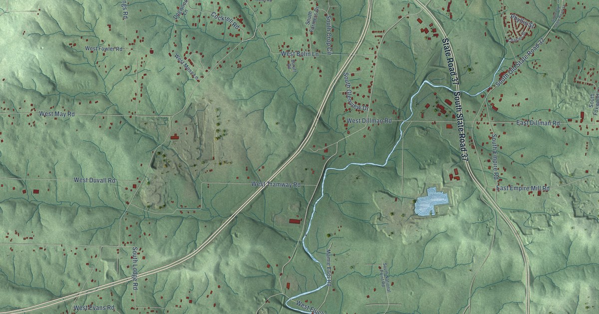
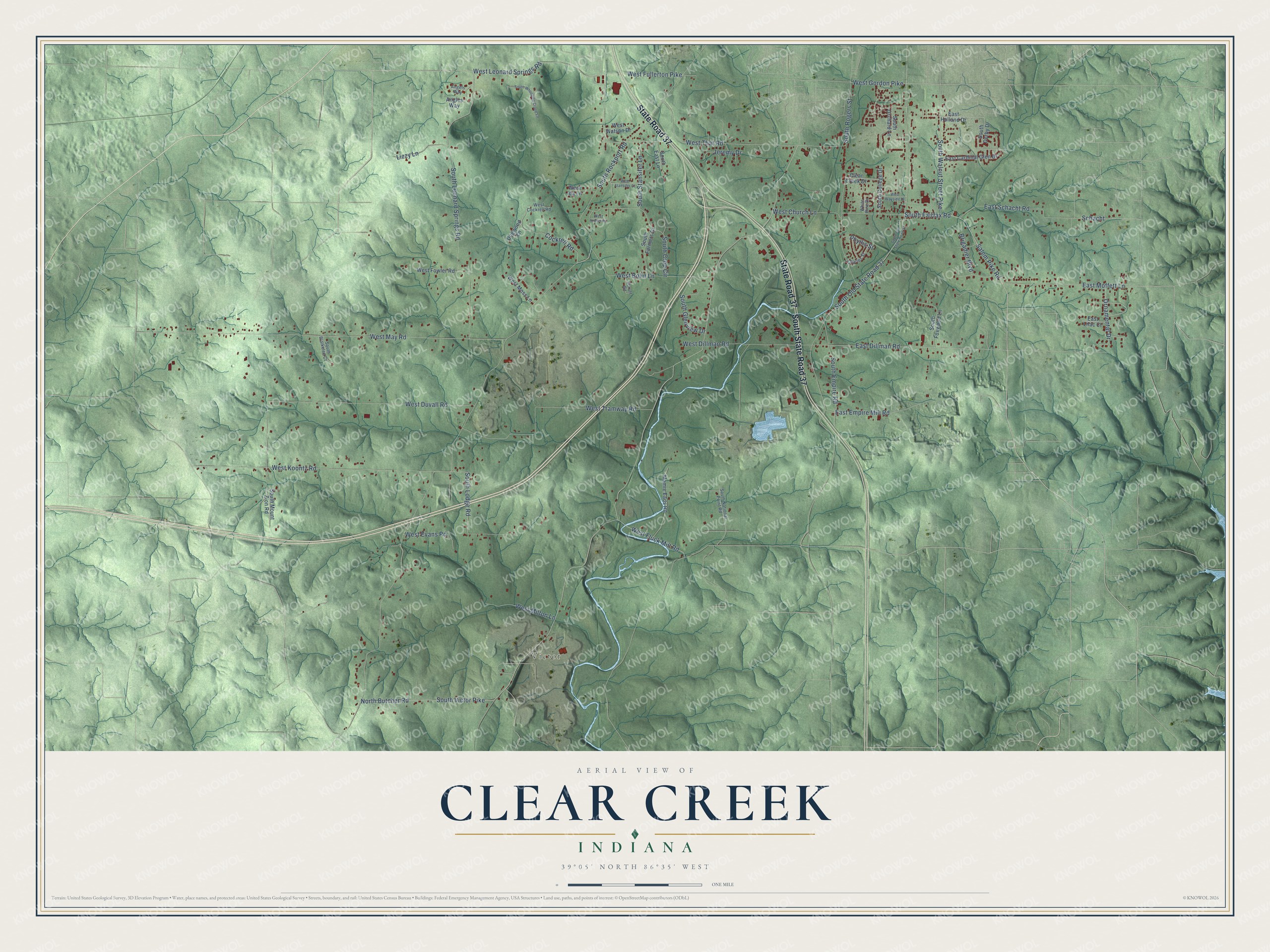
This beautifully detailed map of Clear Creek, Indiana was created in 2026 using aerial imagery combined with modern topographical, census, street and landmark data. It’s a one-of-a-kind view of Clear Creek that combines accurate data with a vintage aesthetic. The map shows every building in its true location, many of the roads carry their names, and the shaded topographic relief shows the shape of the land.
Explore an aerial view of Clear Creek, Indiana
On the map you’ll find Victor, South State Road 37, and Schacht, along with State Road 37, West Leonard Springs Road, Salem Pike Road, South Walnut Street Pike, Cockrell Road, South Crop Circle, South Lodge Road, North Butcher Road, South Victor Pike, and more. If you look closely you can even find your house accurately drawn in its correct location. Zoom in on the preview to look for yours.
Did You Know?
From Internet Archive: "Binkley settled where he still lives on the northwest quarter of Section 20, and was the first justice of the peace elected in Clear Creek."
Clear Creek is a community in Monroe County.
Take a closer look at the Clear Creek map
Names on this map
These names are printed on this map.
Places: Victor.
Streets and roads: South State Road 37, State Road 37, West Leonard Springs Road, Salem Pike Road, South Walnut Street Pike, Cockrell Road, South Crop Circle, South Lodge Road, Schacht, North Butcher Road, South Victor Pike, South Rockport Road.
More street names, A to Z
Angels Way, Angles Way, Boruff Road, Brigadier Boulevard, Charles Street, Clear Creek Drive, Dogwood Lane, East Cardinal Glen Drive, East Dillman Road, East Empire Mill Road, East Holland Drive, East Lilac Court, East Moffett Lane, East Schacht Road, Jeremy Drive, Lizzy Lane, Mamie Eads Road, Ornamental Drive, Phyllis Street, South Blaikelee Court, South College Drive, South Derby Drive, South East Lane, South Empire Road, South Fairfax Road, South Farmers Drive, South Foxwood Lane, South Glenview Drive, South Leonard Springs Road, South Mount Zion Road, South National Point Road, South Old State Road 37, South Orchard Lane, South Rogers Street, South Stansifer Lane, South Whooping Crane Lane, West Archer Road, West Bolin Lane, West Church Lane, West Cockrell Road, West Dillman Road, West Duvall Road, West Evans Road, West Fluck Mill Road, West Fowler Road, West Fullerton Pike, West Gordon Pike, West Ida Lane, West Koontz Road, West May Road, West Milton Lane, West Moss Lane, West Stansifer Court, West That Road, West Tramway Road, West Watson Drive, West Wayside Drive, White Pine Drive.
See it on a wall
The Clear Creek map as a framed print. Swipe for more.


This beautifully detailed map of Clear Creek makes an attractive addition to your office, library, or den, and it can even be used to teach children the geography and history of the area. It also makes a great gift for someone who left Clear Creek and still calls it home. When you’re done exploring, click here to get your copy of the Clear Creek map.