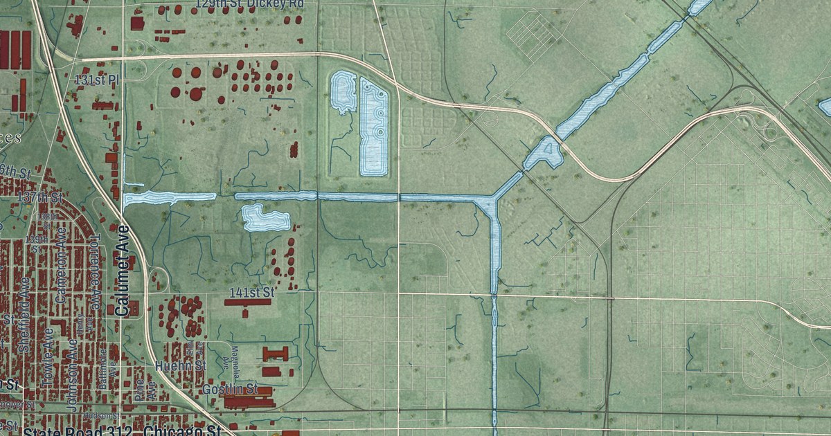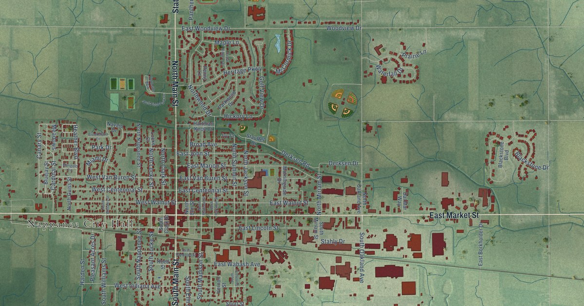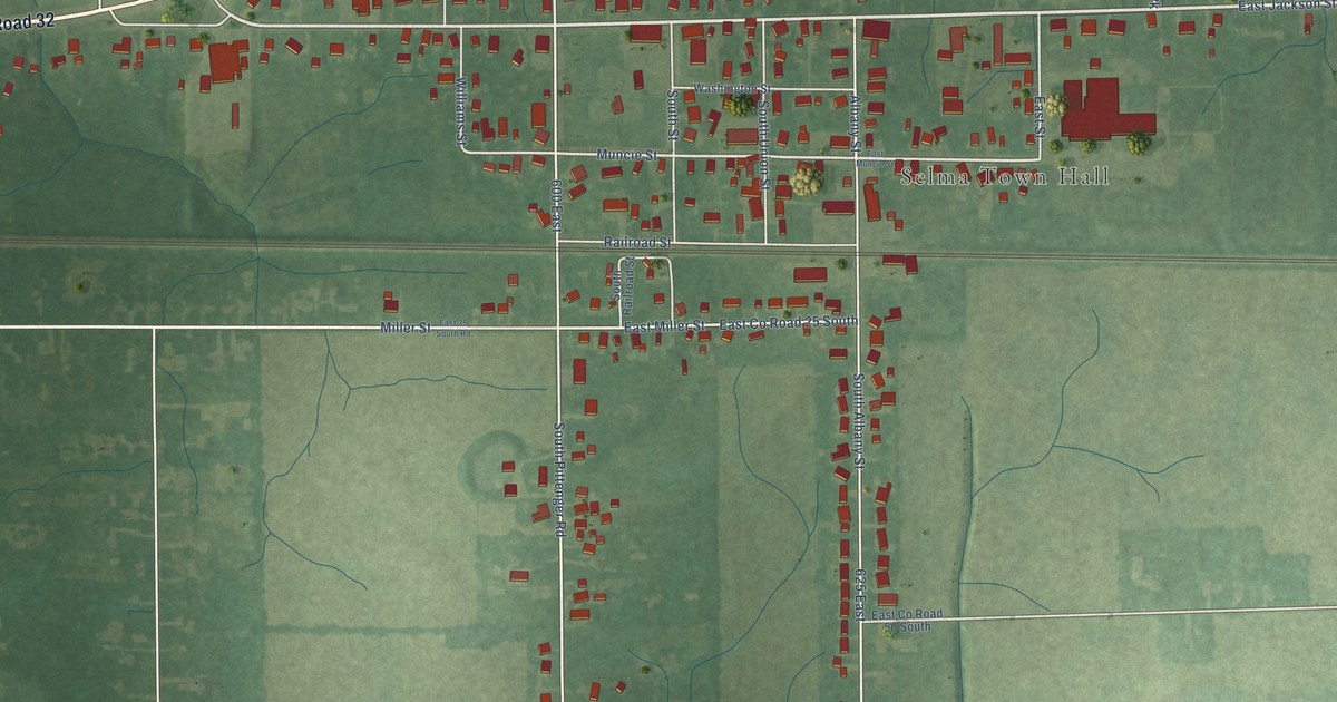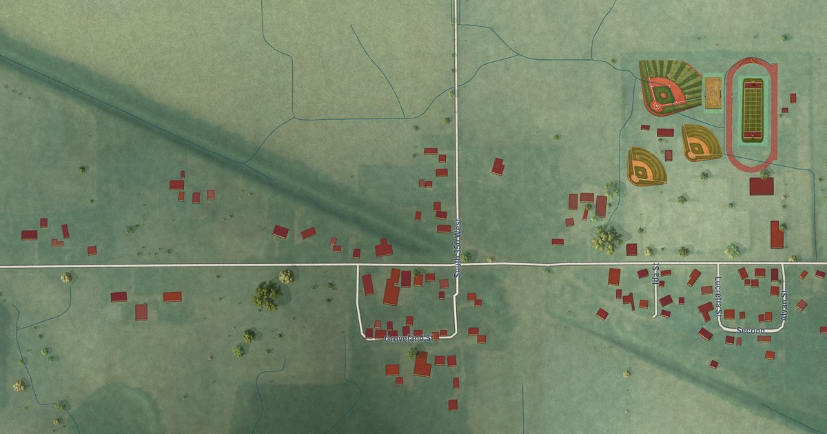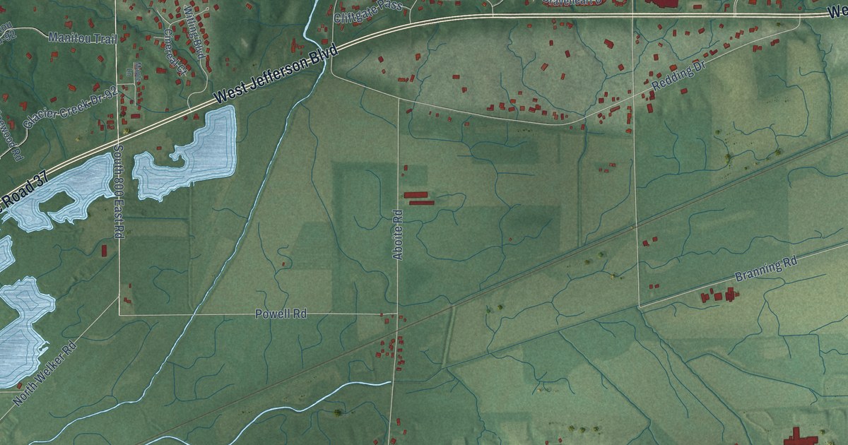
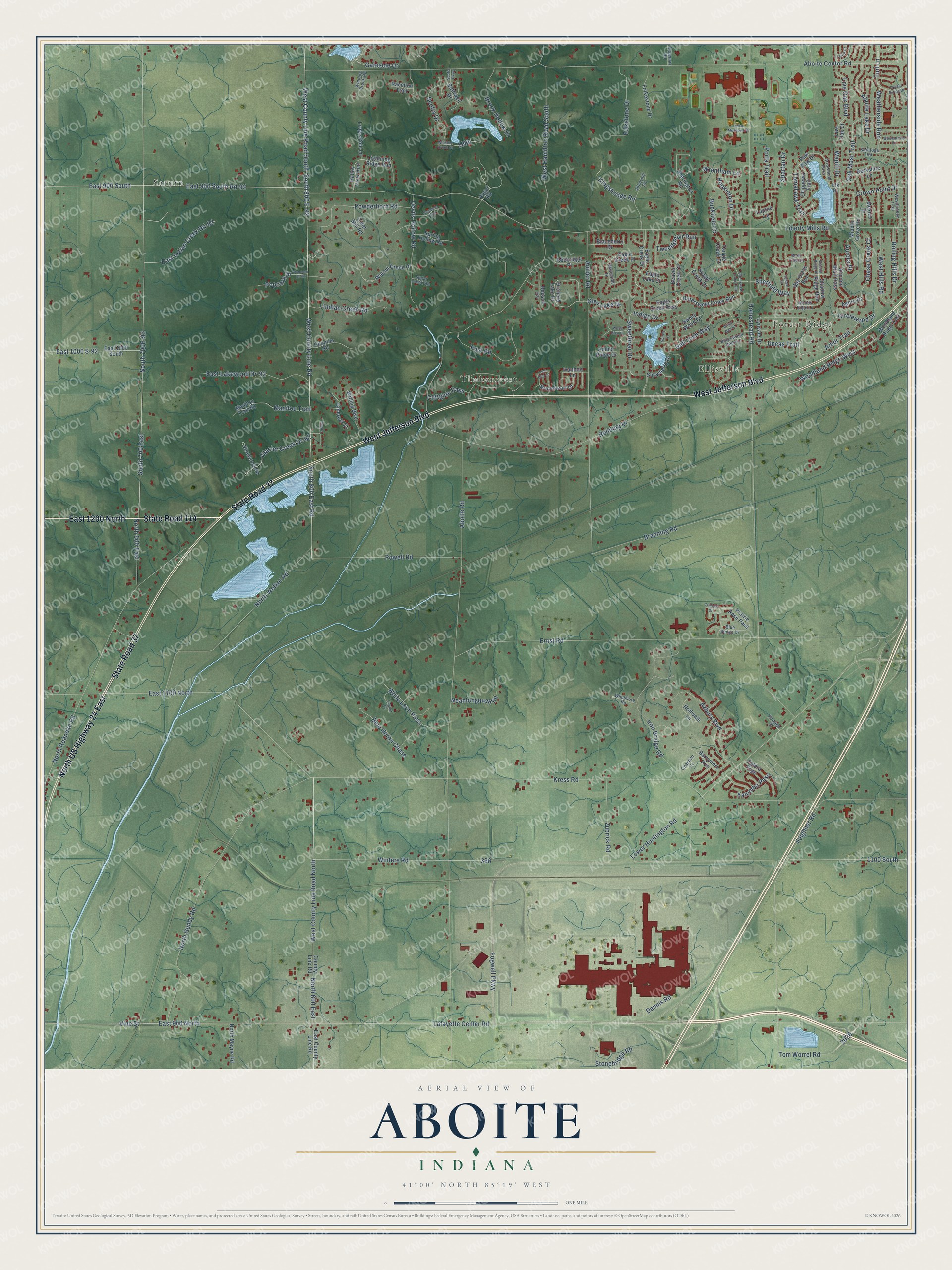
This beautifully detailed map of Aboite, Indiana was created in 2026 using aerial imagery combined with modern topographical, census, street and landmark data. It’s a one-of-a-kind view of Aboite that combines accurate data with a vintage aesthetic. The map shows every building in its true location, many of the roads carry their names, and the shaded topographic relief shows the shape of the land.
Explore an aerial view of Aboite, Indiana
On the map you’ll find Forest Ridge, Ellisville, Timbercrest, Saturn, East 1200 North, North US Highway 24 East, and Weatherside Run, along with State Road 114, State Road 37, West Jefferson Boulevard, Turf Lane, Lafayette Center Road, and more. If you look closely you can even find your house accurately drawn in its correct location. Zoom in on the preview to look for yours.
Did You Know?
From the 1907 History of Whitley County, Indiana: "The mail was carried to Laud first from Fort Wayne and afterward from Aboite Station until 1879, when a tri-weekly route was established from Columbia City and Joseph Yontz was the carrier."
Aboite is a community in Allen County.
Take a closer look at the Aboite map
Names on this map
These names are printed on this map.
Places: Forest Ridge, Ellisville, Timbercrest and Saturn.
Streets and roads: East 1200 North, State Road 114, State Road 37, West Jefferson Boulevard, North US Highway 24 East, Turf Lane, Lafayette Center Road, Weatherside Run, West County Line Road North, West County Line Road, West County Line Road South, North 600 East.
More street names, A to Z
1100 South, Abbeyhill Road, Aboite Center Road, Aboite Lake Drive, Aboite Road, Agora Drive, Almond Bluff Pass, Amber Ridge Drive, Amber Road, Arbor Trail, Arrowhead Pass, Aurora Place, Azbury Boulevard, Barrymore Run, Bathwell Drive, Beaver Creek Court, Beeson Cv, Bent Tree Lane, Berkshire Lane, Bitter Dell Court, Bittersweet Creek Run, Bittersweet Dells Lane, Bittersweet Lakes Run, Blaceberry Drive, Blue Heron Chase, Blue Sedge Drive, Branning Road, Braveheart Drive, Brook Hollow Drive, Buckfield Court, Calera Psge, Chandon Cv, Chase Creek Court, Chippewa Trail, Chopine Road, Cider Mill Road, Cinereal Court, Circlewood Drive, Cliftgate Pass, County Line Road, Crown Point Drive, Crystal Spring Drive, Cygnet Cv, Dell Loch Way, Dennis Road, Devils Hollow Road, Eagle Creek Drive, Eagle Creek Pass, Eagle Creek Place, Eagle Lake Court, East 900 North, East 900 South, East 900 South Rd-92, East 1000 S-92, East 1000 South, East 1100 North, East County Line Road, East Indian Creek Rd-92, East Lakewood Dr-92, Eggeman Road, Elk Drive, Ernst Road, Feighner Road, Fogwell Parkway, Folkestone Drive, Folkstone Drive, Gateside Drive, Glacier Creek Dr-92, Glen Lake Drive, Halley View Run, Homestead Road, Hopkinton Drive, Indian Creek Road, Indian Meadows Drive, Indigo Drive, Iron Bridge Road, Ivanhoe Lane, Kingsbridge Road, Kress Road, Liberty Mills Road, Lightning Ridge Run, Live Oak Boulevard, Live Oak Court, Loch Dhu Lane, Lodge Pole Lane, Lower Huntington Road, Lupine Lane, Lynvale Drive, Manitou Trail, Manitou Trail-92, Maple Lane, Mexico Drive, Middle Grove Road, Neahlongquah Road, North 500 East, North Gundy Road, North Mayne Road, North Roanoke Road, North Welker Road, Oak Mast Trail, Orchard Lake Drive, Paw Paw Drive, Peddlers Ford, Popcorn Dr-92, Popcorn Drive, Portage Drive, Porta Trail, Post Road, Powderhorn Road, Powell Road, Prairie Rose Pass, Raccoon Trail, Redding Drive, Rockridge Place, Rolling Hills Drive, Rothvale Lane, Saratoga Road, Scotia Drive, Scotia Parkway, Shadow Ridge Place, Shadow Ridge Run, Shady Creek Court, Sheffield Way, Sherington Road, Snowberry Drive, South 700 East, South 800 E-92, South 800 East Road, Spartan Drive, Spirea Court, Spring Hollow Road, Spy Glass Run, Stonebridge Road, Sugar Creek Road, Sweetbriar Drive, Sweet Wood Court, Tangle Creek Court, Teton Court, Tolbert Court, Tomahawk Trail, Tom Worrel Road, Trillium Drive, Tweedsmuir Run, Uncas Trail, Vine Street, Vinewood Road, Vogel Road, Walnut Creek Drive, Wapiti Drive, Waterside Drive, Westbreeze Trail, West Hamilton Road South, West Hills Road, Whiskey Creek Drive, White Loon Pass, Winding Brook Road, Windmore Road, Winters Road, Witling Boulevard, Wood Glen Drive, Woodland Ridge East, Woodland Ridge West, Woods Edge Lane, Woodstream Drive, Wrentham Lane, Yalumba Pass, Zubrick Road.
See it on a wall
The Aboite map as a framed print. Swipe for more.


This beautifully detailed map of Aboite makes an attractive addition to your office, library, or den, and it can even be used to teach children the geography and history of the area. It also makes a great gift for someone who left Aboite and still calls it home. When you’re done exploring, click here to get your copy of the Aboite map.