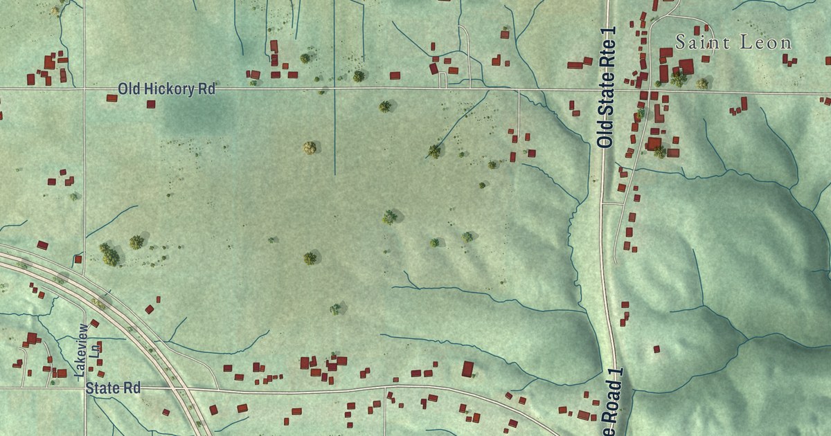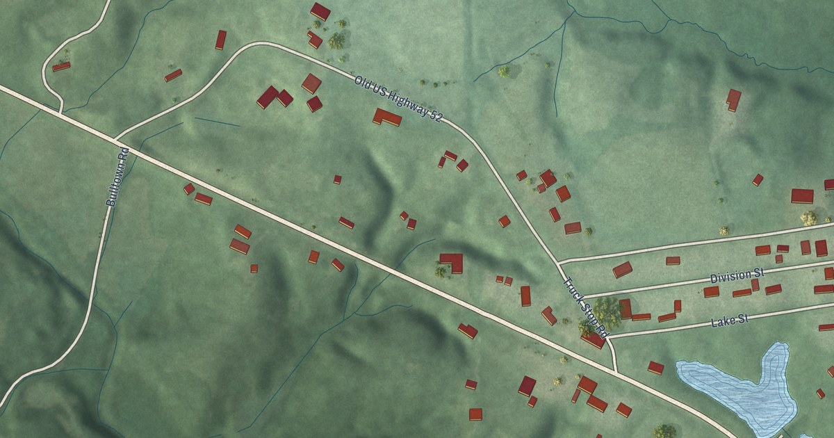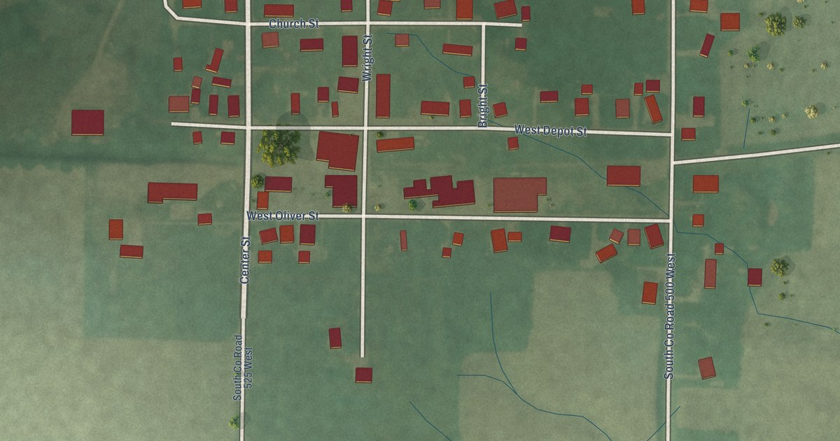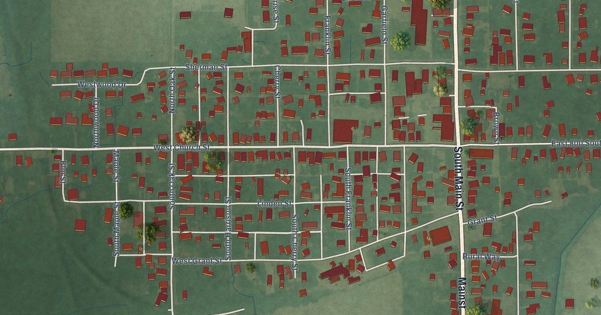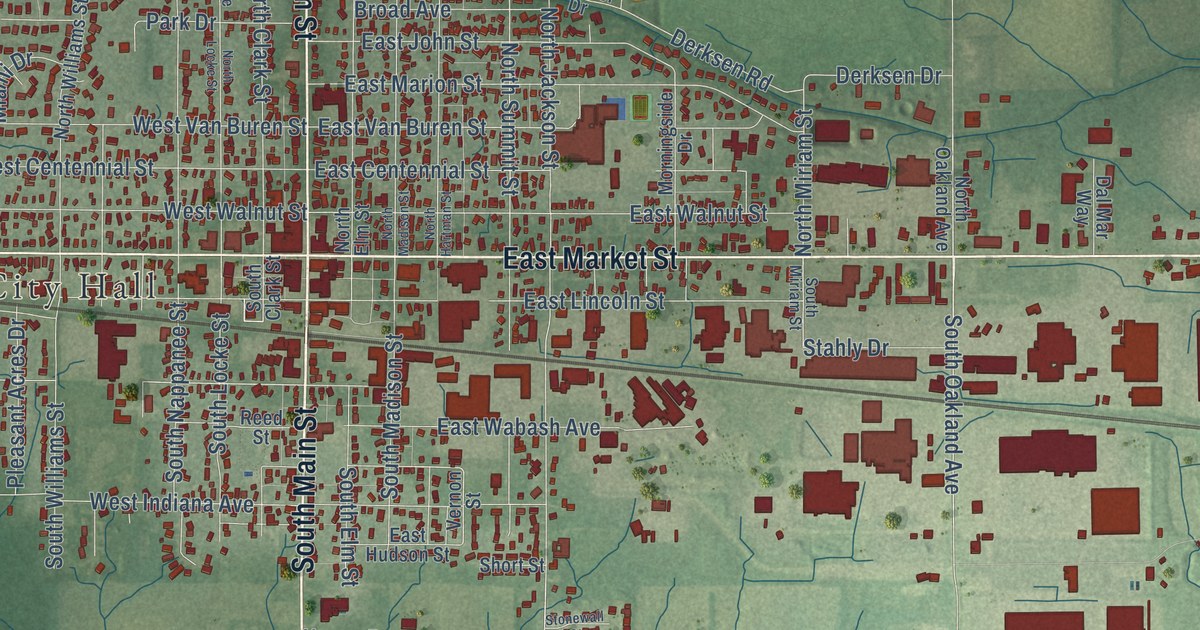
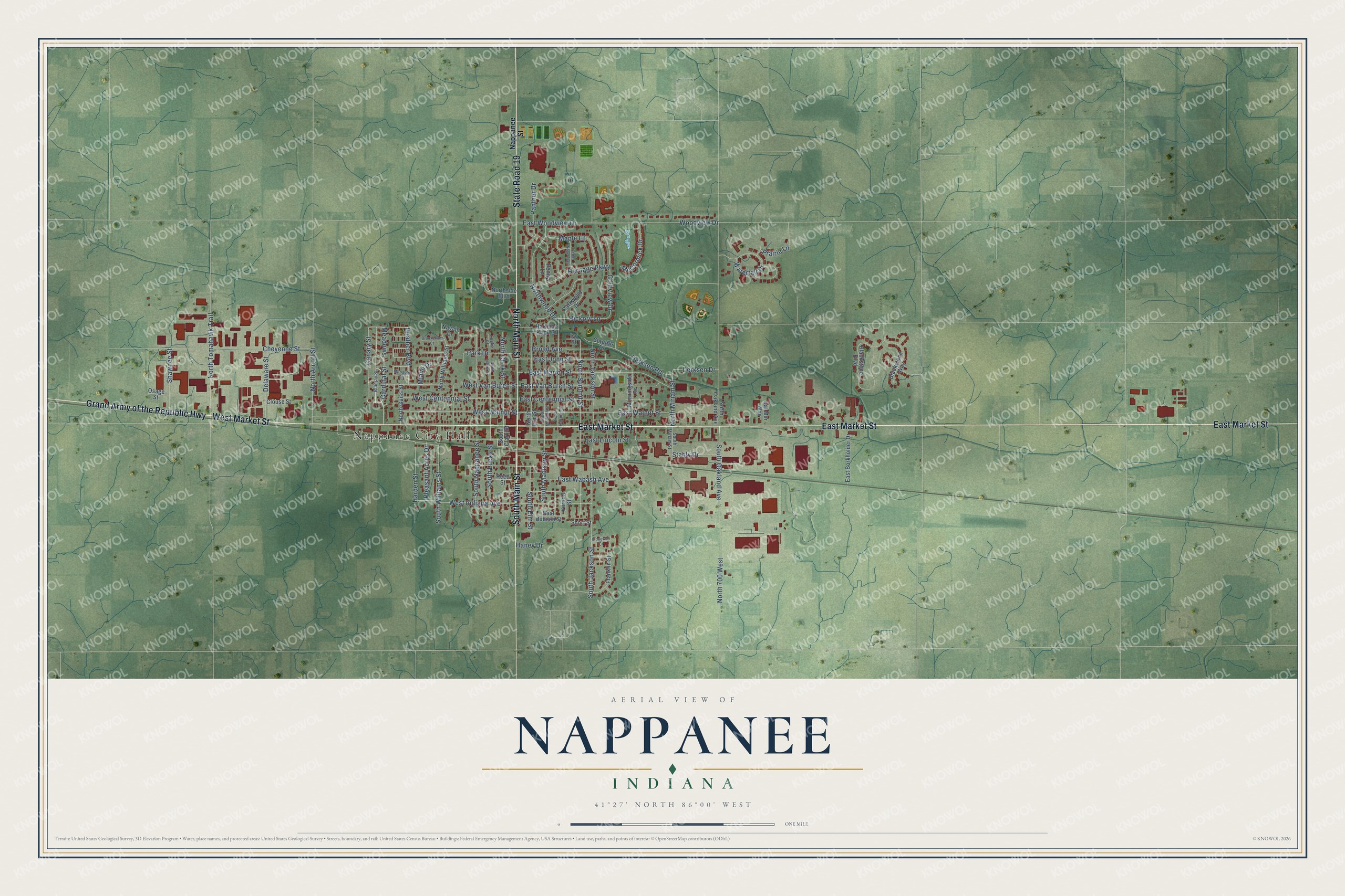
This beautifully detailed map of Nappanee, Indiana was created in 2026 using aerial imagery combined with modern topographical, census, street and landmark data. It’s a one-of-a-kind view of Nappanee that combines accurate data with a vintage aesthetic. The map shows every building in its true location, many of the roads carry their names, and the shaded topographic relief shows the shape of the land.
Explore an aerial view of Nappanee, Indiana
On the map you’ll find Nappanee City Hall and Meadows, along with South Main Street, East Market Street, North Main Street, Grand Army of the Republic Highway, State Road 19, West Market Street, South Elm Street, Canary Street, South Oakland Avenue, North Summit Street, and more. If you look closely you can even find your house accurately drawn in its correct location. Zoom in on the preview to look for yours.
Did you know this piece of Nappanee, Indiana history?
From the Indiana Historical Bureau: "Merrill Blosser was first Nappanee artist to gain national recognition as a professional cartoonist. Freckles and His Friends, his most popular cartoon, ran from 1915 to 1973, syndicated by Newspaper Enterprise Association."
Take a closer look at the Nappanee map
Street and place names on the Nappanee, Indiana map
These names are printed on the map of Nappanee, Indiana.
Places: Nappanee City Hall.
Streets and roads: South Main Street, East Market Street, North Main Street, Grand Army of the Republic Highway, State Road 19, West Market Street, Meadows, Canary Street, South Elm Street, South Oakland Avenue, South Jackson Street, North Summit Street.
More street names, A to Z
Blackstone Boulevard, Blackstone Way, Bluejay Street, Broad Avenue, Brookelynn Court, Cardinal Street, Cedar Ridge Trail, Cheyenne Street, Clouse Street, Dal Mar Way, Delaware Street, Derksen Drive, Derksen Road, East Borkholder Drive, East Centennial Street, East Hudson Street, East John Street, East Lincoln Street, East Marion Street, East Van Buren Street, East Wabash Avenue, East Walnut Street, East Woodview Drive, Franklin Street, Golf View Drive, Haney Drive, Harden Street, Hartman Knoll Court, Heather Boulevard, Heritage Parkway, Hickory Lane, Ivy Court, Locke Court, Maple Lane, Marigold Circle, McCormick Drive, Miami Drive, Morningside Drive, Nappanee Street, Navajo Drive, North 700 West, North Arnott Street, North Clark Street, North Elm Street, North Guiss Street, North Hartman Street, North Jackson Street, North Locke Street, North Madison Street, North Miriam Street, North Oakland Avenue, Northside Boulevard, North Tomahawk Trail, North Williams Street, Northwood Drive, Osage Street, Panther Drive, Park Drive, Parkwood Drive, Penny Lane, Pleasant Acres Drive, Prairie Lane, Reed Street, Shawnee Street, Short Street, South Clark Street, South Locke Street, South Madison Street, South Miriam Street, South Nappanee Street, South Williams Street, Stahly Drive, Stauffer Drive, Stonewall Court, Vernon Street, Waterfall Drive, West Centennial Street, West Indiana Avenue, West Van Buren Street, West Walnut Street, Woodview Drive.
See the Nappanee, Indiana map on a wall
The Nappanee map as an 18 x 24 inch print in a black frame.

This beautifully detailed map of Nappanee makes an attractive addition to your office, library, or den, and it can even be used to teach children the geography and history of the area. It also makes a great gift for anyone with Nappanee roots. When you’re done exploring, click here to get your copy of the Nappanee map.