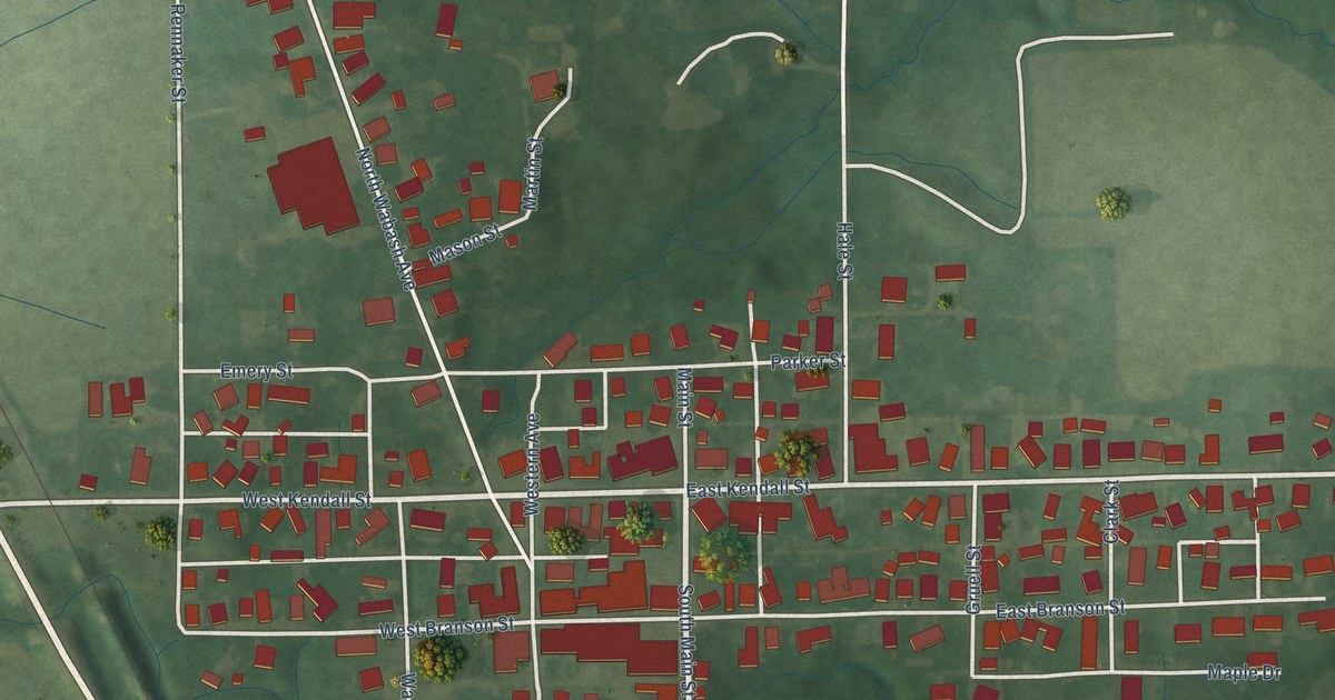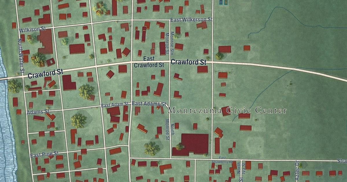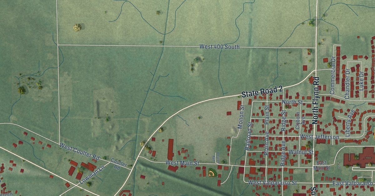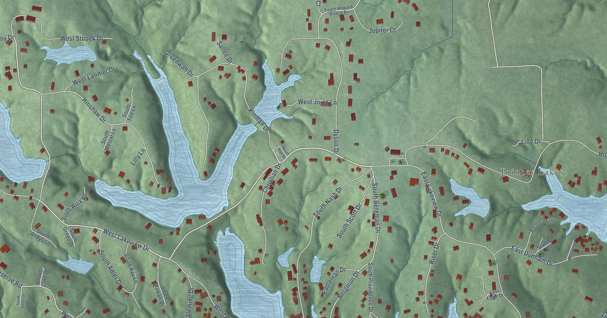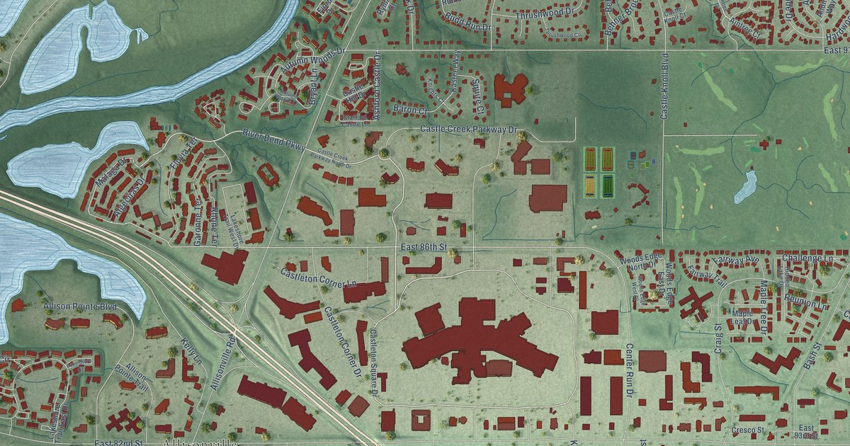
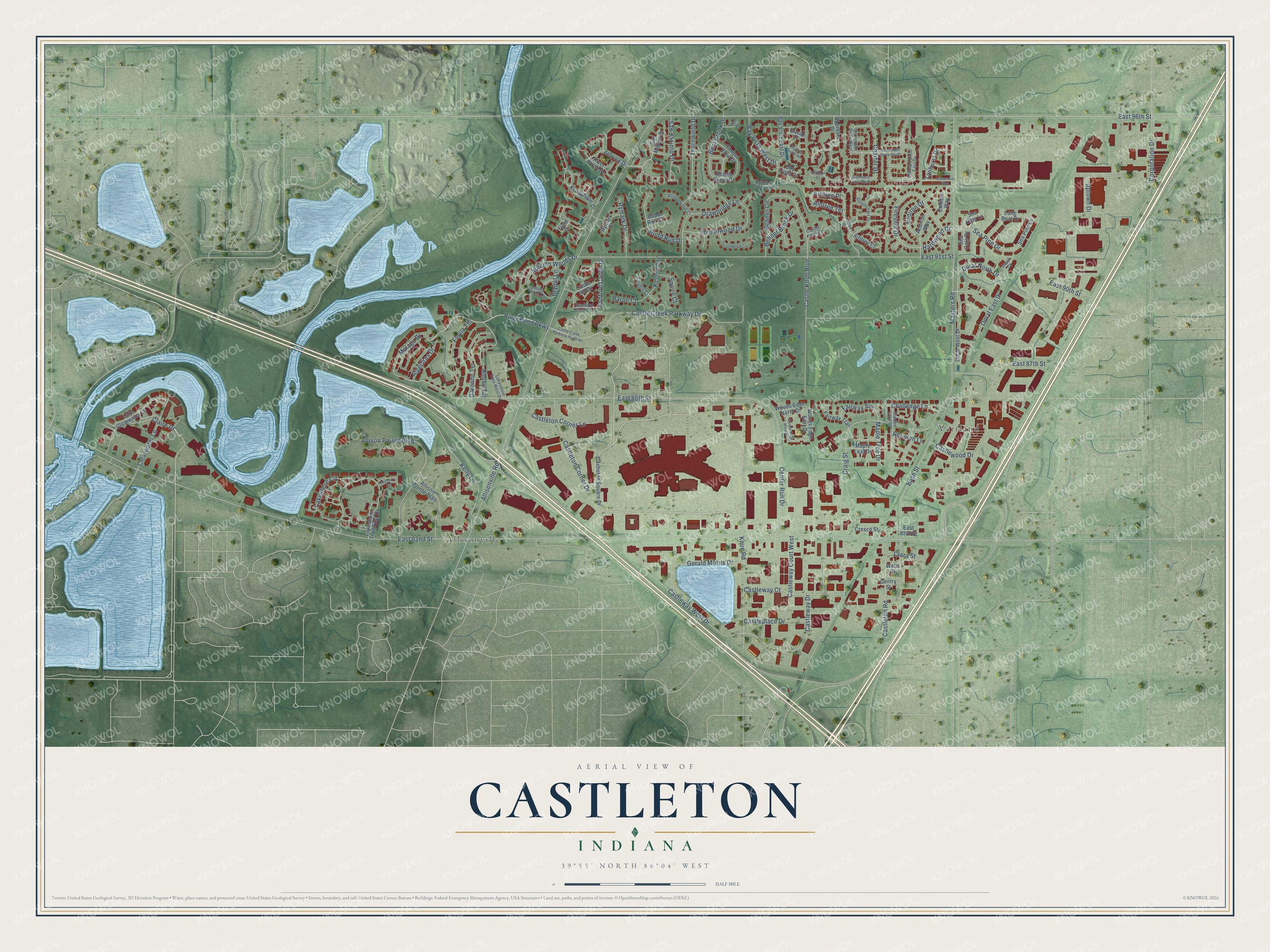
This beautifully detailed map of Castleton, Indiana was created in 2026 using aerial imagery combined with modern topographical, census, street and landmark data. It’s a one-of-a-kind view of Castleton that combines accurate data with a vintage aesthetic. The map shows every building in its true location, many of the roads carry their names, and the shaded topographic relief shows the shape of the land.
Explore an aerial view of Castleton, Indiana
On the map you’ll find Allisonville, Vertland, and Aintree Place, along with River Bend Parkway, Malaga Drive, Sea Pine Drive, Hardwood Drive, East 86th Street, Fireside Drive, Claire Drive, East 82nd Street, Allisonville Road, and more. If you look closely you can even find your house accurately drawn in its correct location. Zoom in on the preview to look for yours.
Did You Know?
From Internet Archive: "Louis and Pacific Railroad, is situated the lively little town known as Castleton."
Castleton is a place in Marion County.
Take a closer look at the Castleton map
Names on this map
These names are printed on this map.
Places: Allisonville and Vertland.
Streets and roads: River Bend Parkway, Malaga Drive, Sea Pine Drive, Aintree Place, Hardwood Drive, East 86th Street, Fireside Drive, Claire Drive, East 82nd Street, Allisonville Road, Craig Street, East 91st Street.
More street names, A to Z
96th Place, Aberdare Drive, Aintree Court, Aintree Drive, Aintree Terrace, Algeciras Drive, Allison Pointe Boulevard, Allison Pointe Trail, Allisonwood Court, Andiron Drive, Andiron Way, Ashford Castle Drive, Ashvale Drive, Aspen Grove Drive, Autumn Woods Drive, Autumn Woods Lane, Baron Court, Bash Street, Bayside Court, Bayside South Drive, Bay Vista Court, Bay Vista East Drive, Bay Vista West Drive, Behner Brook Drive, Behner Circle, Behner Crossing, Bent Brook Drive, Bryant Lane, Budd Run Court, Budd Run Drive, Castle Creek Parkway Drive, Castle Creek Parkway North Drive, Castle Hill Drive, Castle Knoll Boulevard, Castle Knoll Court, Castleplace Drive, Castleton Corner Drive, Castleton Corner Lane, Castleton Road, Castleton Square Drive, Castleway Court, Castleway Court West, Castleway Drive, Castleway West Drive, Castlewood Drive, Center Run Drive, Challenge Lane, Charter Drive, Clara Street, Clearwater Lane, Colony Pointe East Drive, Corporation Drive, Cresco Street, Discovery Drive South, Doral Court, Doral East Drive, Doral North Drive, Doral West Drive, Drawbridge Lane, East 83rd Street, East 87th Street, East 90th Street, East 96th Street, Embers Way, Fairway Avenue, Fairway Trail, Fjord Drive, Fluvia Terrace, Garonne Terrace, Gentry Street, Gerald Morris Drive, Hidden Lake Drive, Kasteel Way, Kelly Lane, Knights Court, Knue Road, Kungsholm Drive, Lake Clearwater Lane, Lakeshore Circle, Lakeshore Court, Lakeshore Trail East Drive, Lakeshore Trail West Drive, Long Boat Drive, Maple Leaf Drive, Maple Tree Drive, Masters Road, Reunion Lane, Rhone Terrace, River Wood Drive, Rymark Court, Rymark Drive, San Jacinto Drive, San Miguel Drive, Sea Oats Drive, Sea Oats Lane, Sea Pine Lane, Settlement Drive South, Settlement Drive West, Squire Court, Stafford Castle Lane, Steeplechase Drive, Tanhurst Drive, Thornwood Drive, Thrushwood Circle, Thrushwood Drive, Timber View Drive, Uptown Drive, Vistamere Way, Watham Court, Wells Street, Woods Edge East Drive, Woods Edge North Drive, Woods Edge West Drive.
See it on a wall
The Castleton map as a framed print. Swipe for more.


This beautifully detailed map of Castleton makes an attractive addition to your office, library, or den, and it can even be used to teach children the geography and history of the area. It also makes a great gift for someone who left Castleton and still calls it home. When you’re done exploring, click here to get your copy of the Castleton map.