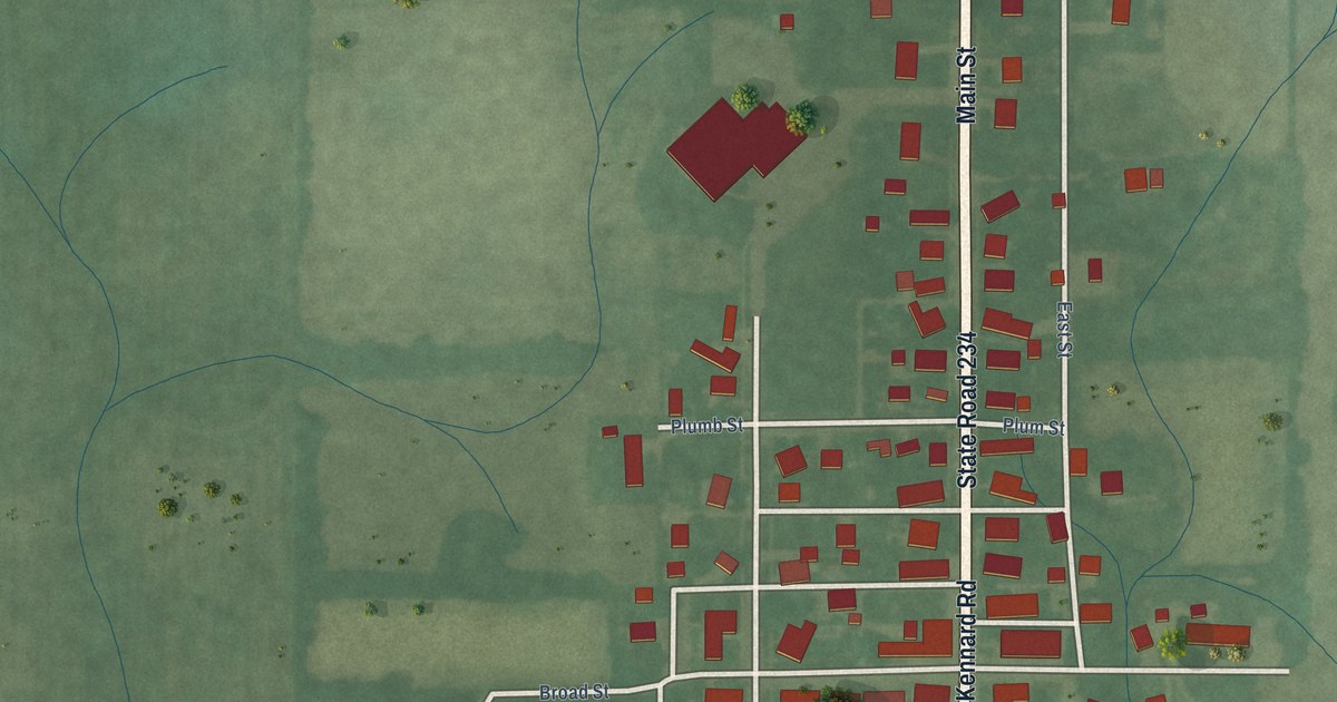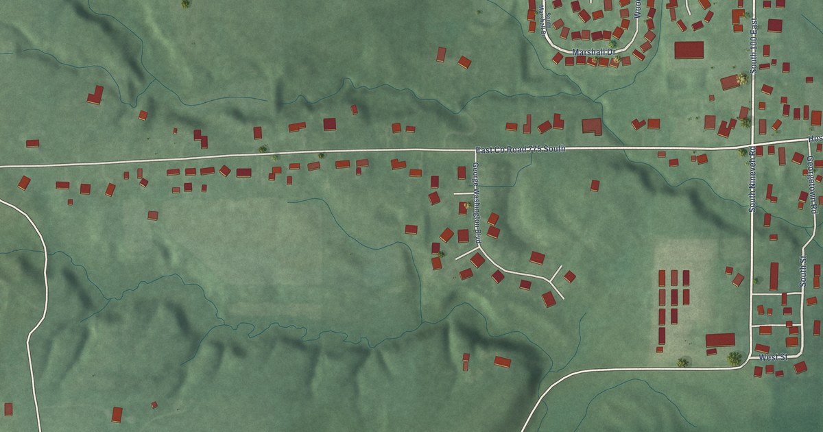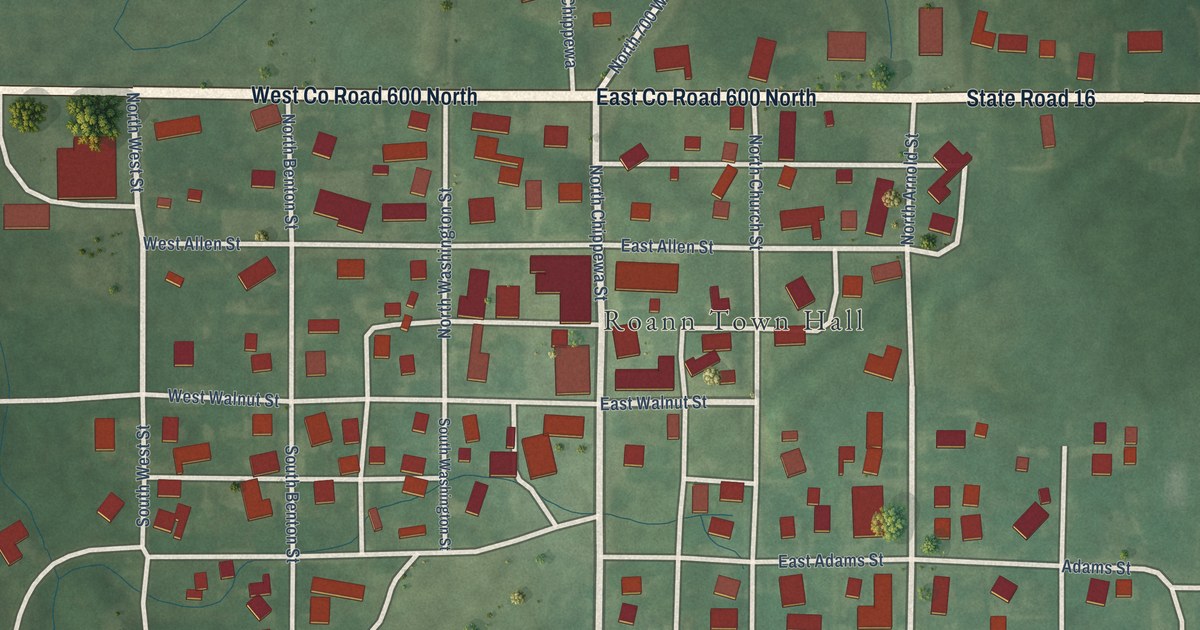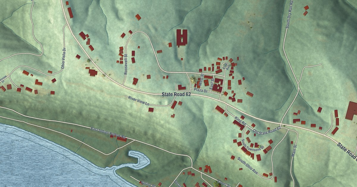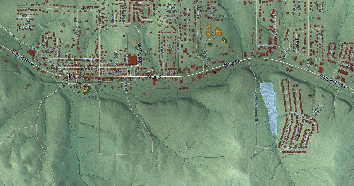
This beautifully detailed map of Georgetown, Indiana was created in 2026 using aerial imagery combined with modern topographical, census, street and landmark data. It’s a one-of-a-kind view of Georgetown that combines accurate data with a vintage aesthetic. The map shows every building in its true location, many of the roads carry their names, and the shaded topographic relief shows the shape of the land.
Explore an aerial view of Georgetown, Indiana
On the map you’ll find State Road 64, Main Street, Merry Way, Greenville Georgetown Road, Cherry Circle, Copperfield Drive, Frank Ott Road, Autumn Drive, Wolfe Cemetery Road, Henriott Road, Canal Lane, Nina Drive, and more. If you look closely you can even find your house accurately drawn in its correct location. Zoom in on the preview to look for yours.
Did you know this piece of Georgetown, Indiana history?
From the Indiana Historical Bureau: "Justice Sherman Minton was born in Georgetown and attended New Albany High School. After graduating from law school, he served overseas during WWI. In 1934, he was elected to the U.S. Senate as a New Deal Democrat."
Take a closer look at the Georgetown map
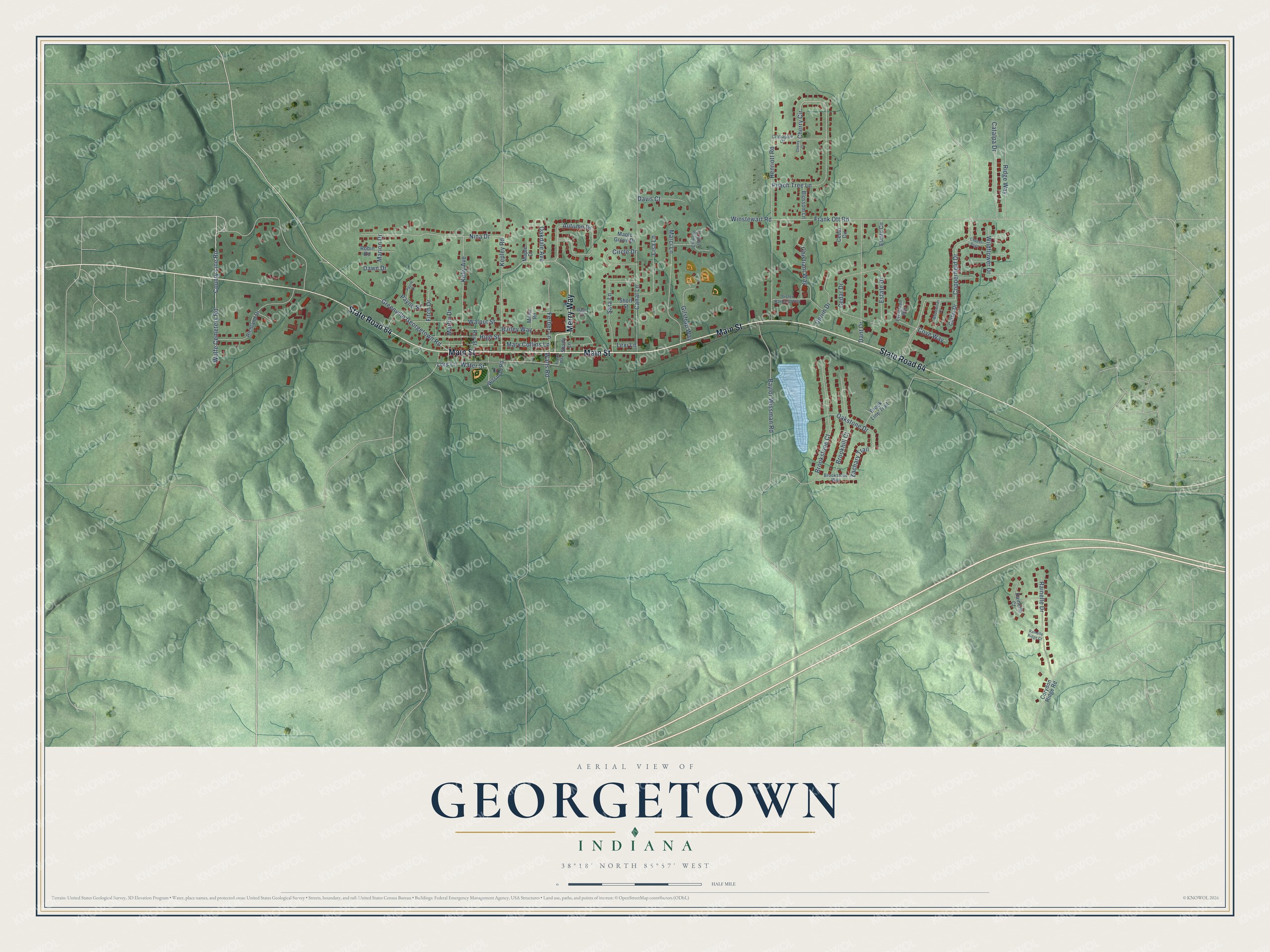
Street names on the Georgetown, Indiana map
These names are printed on the map of Georgetown, Indiana.
Streets and roads: State Road 64, Main Street, Merry Way, Greenville Georgetown Road, Cherry Circle, Copperfield Drive, Frank Ott Road, Autumn Drive, Wolfe Cemetery Road, Henriott Road, Canal Lane, Nina Drive.
More street names, A to Z
Bailey Way, Baylor Wissman Road, Blossom Lane, Brookhill Court, Brook Line Trail, Brookstone Court, Brookstone Way, Carter Drive, Catalpa Drive, Cedar Circle, Cedar Drive, Cherry Court, Chistiani Way, Circle Drive, Copper Psge, Corydon Ridge Road, County Line Road, Cove Way, Crabapple Drive, Crimson Creek Court, Dale Court, Dant Drive, Davis Court, Dawn Drive, Estate Circle, Estate Drive, Evergreen Way, Ferber Lane, Fitch Drive, Fuzzy Way, Gilstrap Way, High Street, Kelly Avenue, Kepley Road, Lexi Lane, Lisa Lane, Lois Lane, Maple Court, Maple Grove Drive, Marci Lane, Marion Drive, Martin Drive, Mary Collins Lane, Miller Road, Oakdale Avenue, Oakstone Drive, Payne Drive, Payne Street, Peach Tree Lane, Rainelle Court, Rainelle Drive, Rainelle Ridge Court, Richland Drive, Ridge Way, Robin Road, Roy Street, Sara Lane, Shady Lane, Short Street, Sister Barbara Way, Unruh Drive, Walnut Street, Walts Road, Water Street, Wildflower Drive, Winstewart Road, Wissman Road, Woodwinds Court, Zachary Trail.
See the Georgetown, Indiana map on a wall
The Georgetown map as an 18 x 24 inch print in a black frame.

This beautifully detailed map of Georgetown makes an attractive addition to your office, library, or den, and it can even be used to teach children the geography and history of the area. It also makes a great gift for anyone with Georgetown roots. When you’re done exploring, click here to get your copy of the Georgetown map.