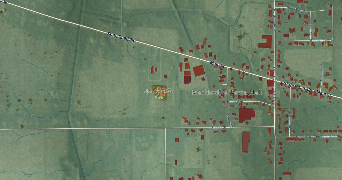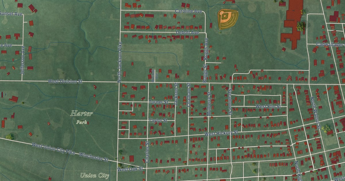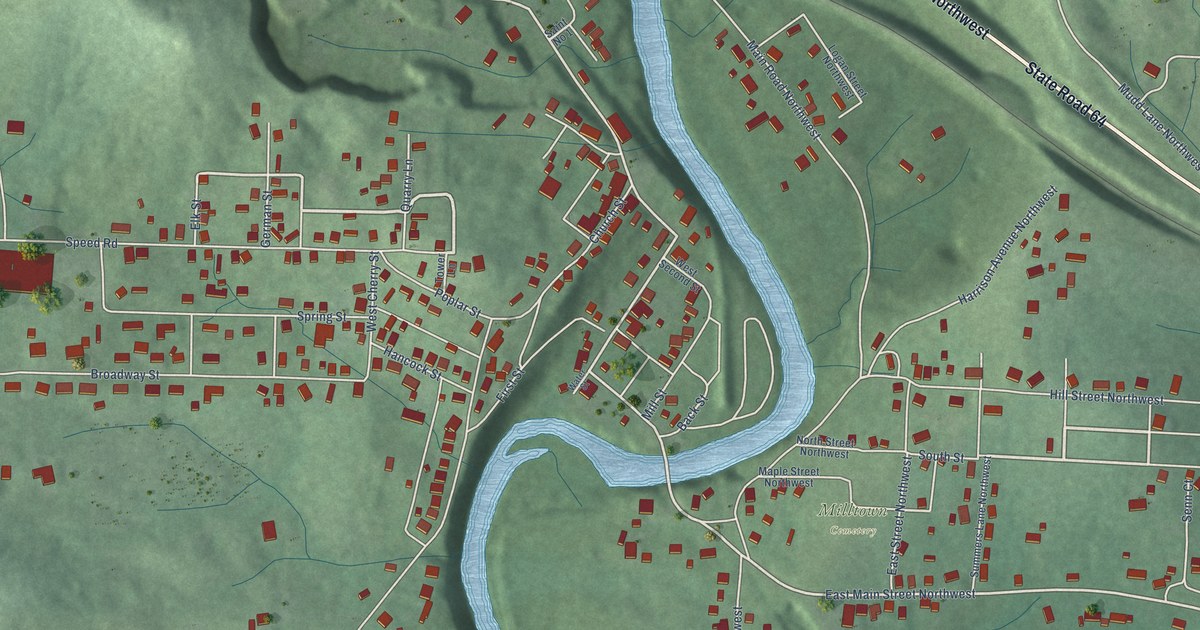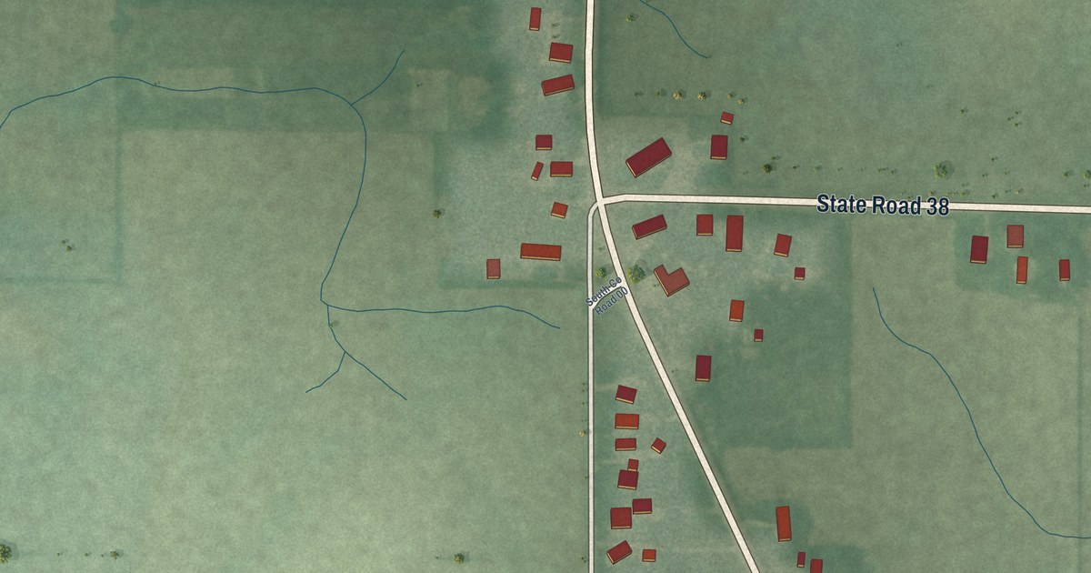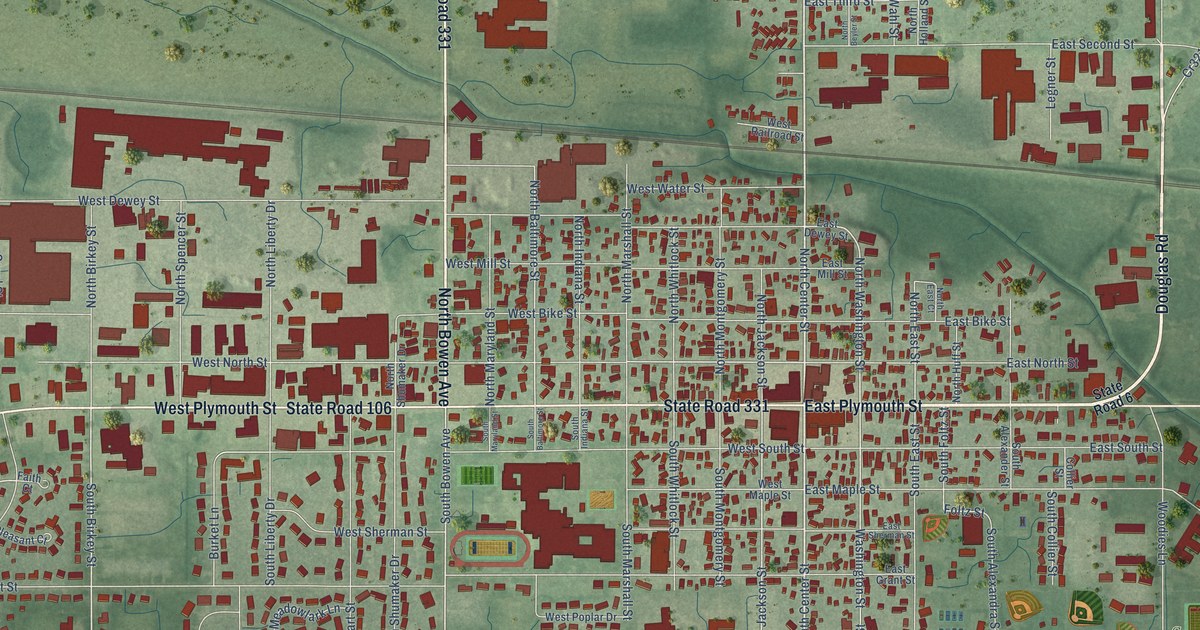
This beautifully detailed map of Bremen, Indiana was created in 2026 using aerial imagery combined with modern topographical, census, street and landmark data. It’s a one-of-a-kind view of Bremen that combines accurate data with a vintage aesthetic. The map shows every building in its true location, many of the roads carry their names, and the shaded topographic relief shows the shape of the land.
Explore an aerial view of Bremen, Indiana
On the map you’ll find Bremen Municipal Cemetery and Sunnyside Park, along with Douglas Road, East Plymouth Street, North Bowen Avenue, State Road 331, West Plymouth Street, Grand Army of the Republic Highway, State Road 106, Bremen Highway, North Center Street, South Center Street, and more. If you look closely you can even find your house accurately drawn in its correct location. Zoom in on the preview to look for yours.
Did you know this piece of Bremen, Indiana history?
From the 1908 Twentieth Century History of Marshall County, Indiana: "The first settlement in Bremen was made about 1836, and between that date and 1848 settlement was made by several families, among whom were Hardzog, Heim, Weis, Beyler, Koontz, Yockey, Ringle, and others who pre-empted government lands in the vicinity and here in the wilderness established their home and began the rugged toil of pioneers."
Take a closer look at the Bremen map
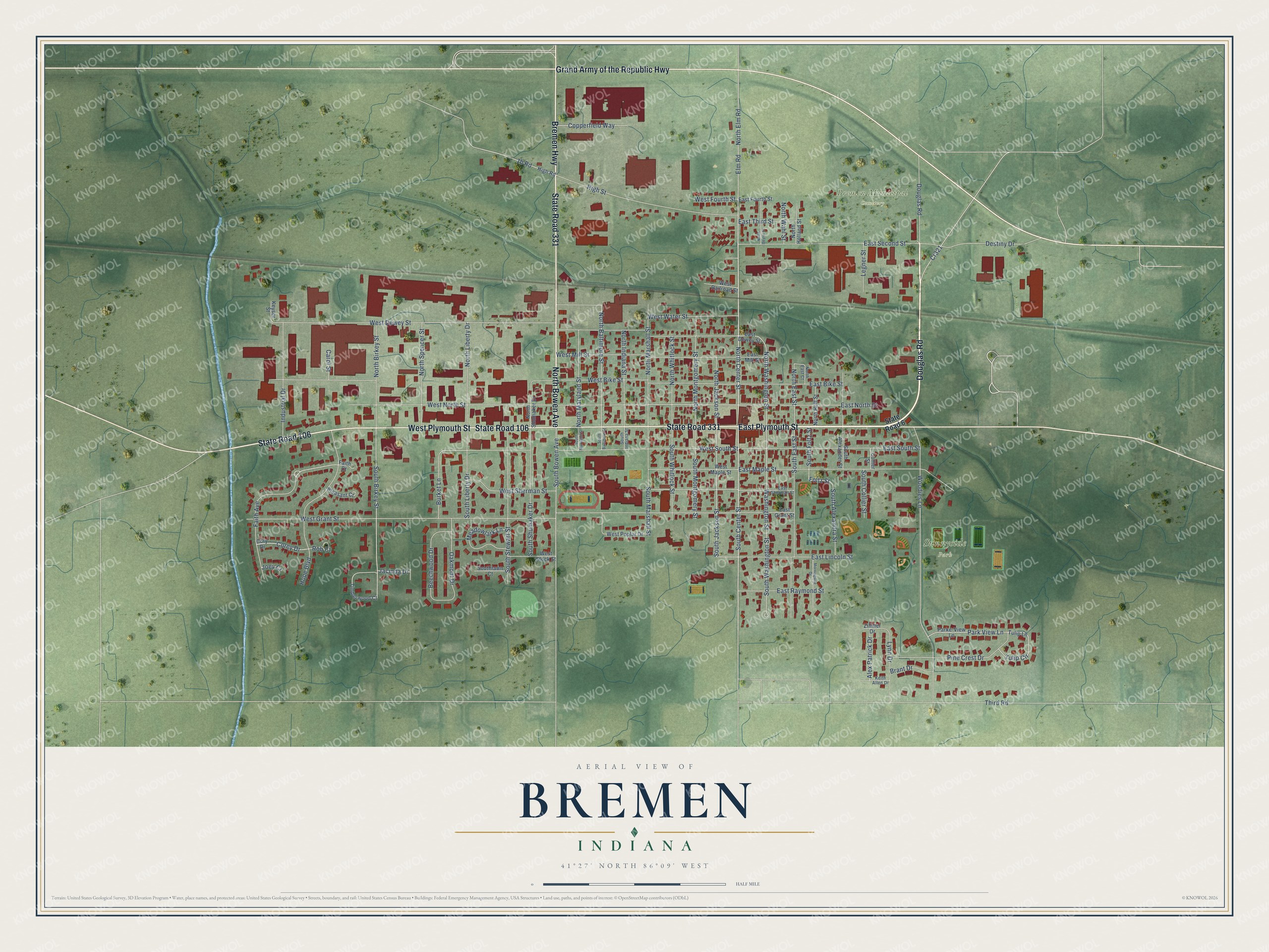
Street and place names on the Bremen, Indiana map
These names are printed on the map of Bremen, Indiana.
Places: Bremen Municipal Cemetery and Sunnyside Park.
Streets and roads: Douglas Road, East Plymouth Street, North Bowen Avenue, State Road 331, West Plymouth Street, Grand Army of the Republic Highway, State Road 106, Bremen Highway, North Center Street, South Center Street, South Bowen Avenue, Faith Avenue.
More street names, A to Z
Alex Patrick Drive, Beechwood Drive, Brant Drive, Burket Lane, Carol Street, Collier Street, Copperfield Way, Corey Drive, Cory Drive, Cr321, Destiny Drive, East Bike Street, East Dewey Street, East Fourth Street, East Grant Street, East Lincoln Street, East Maple Street, East Mill Street, East North Street, East Raymond Street, East Second Street, East Sherman Street, East South Street, East Third Street, Elm Road, Faith Court, Foltz Street, High Road, High Street, Hope Boulevard, Industrial Drive, Jacinda Drive, Joey Court, Keith Allen Drive, Keyser Street, Legner Street, Lynn Drive, Meadowlark Lane, Morningside Drive, North Baltimore Street, North Beyler Street, North Birkey Street, North East Court, North East Street, North Elm Road, North Holland Street, North Huff Street, North Indiana Street, North Jackson Street, North Liberty Drive, North Marshall Street, North Maryland Street, North Montgomery Street, North Shumaker Drive, North Spencer Street, North Wahl Street, North Washington Street, North Whitlock Street, Oakmont Drive, Parke-View Lane, Park View Lane, Pine Crest Drive, Pleasant Court, Rob Court, South Alexander Street, South Alexandra Street, South Baltimore Street, South Birkey Street, South Collier Street, South East Street, South Foltz Street, South Indiana Street, South Jackson Street, Southlawn Court, South Liberty Drive, South Marshall Street, South Maryland Street, South Montgomery Street, South Shumaker Drive, South Stewart Street, South Washington Street, South Whitlock Street, State Road 6, Third Road, Timberwood Court, Tulip Circle, Tulip Lane, Washington Street, West Bike Street, West Dewey Street, West Fourth Street, West Grant Street, West Maple Street, West Mill Street, West North Street, West Poplar Drive, West Railroad Street, West Sherman Street, West South Street, West Stock Street, West Water Street, Woodies Lane, Zillmer Drive.
See the Bremen, Indiana map on a wall
The Bremen map as an 18 x 24 inch print in a black frame.

This beautifully detailed map of Bremen makes an attractive addition to your office, library, or den, and it can even be used to teach children the geography and history of the area. It also makes a great gift for anyone who grew up in Bremen or moved away. When you’re done exploring, click here to get your copy of the Bremen map.