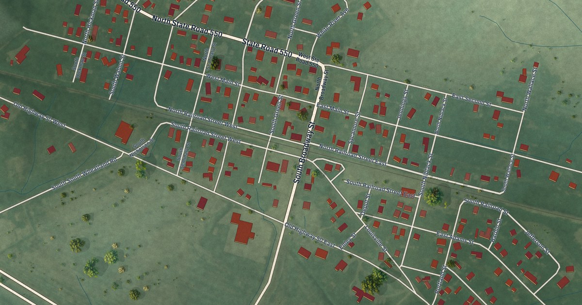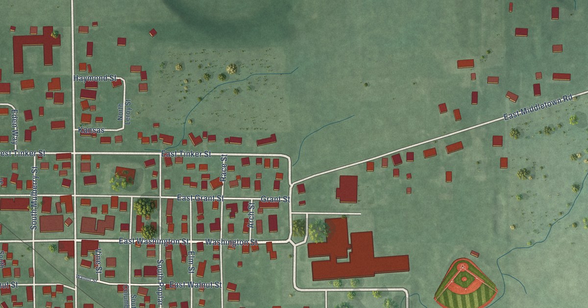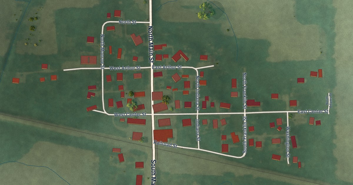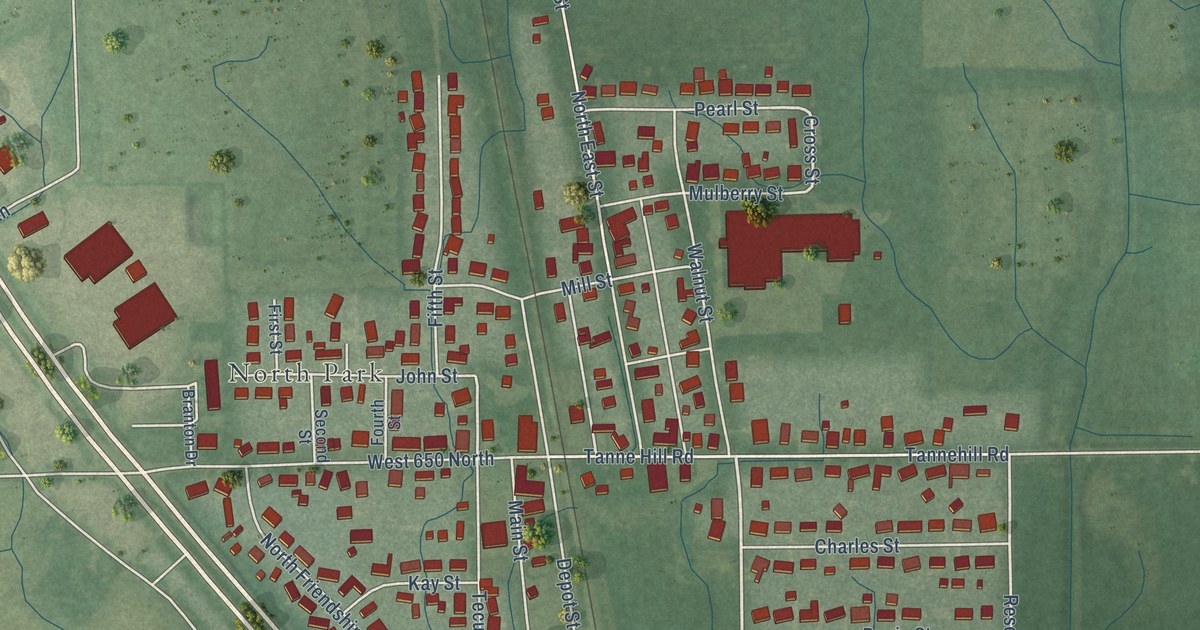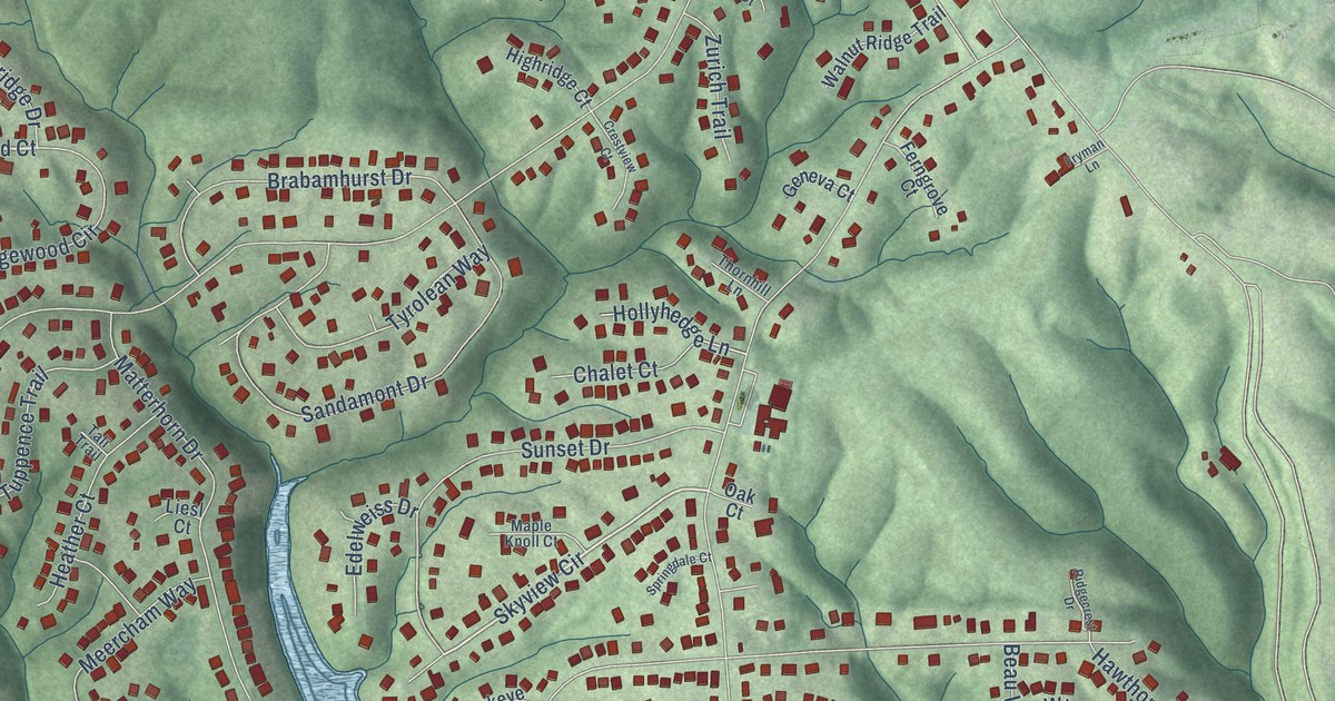
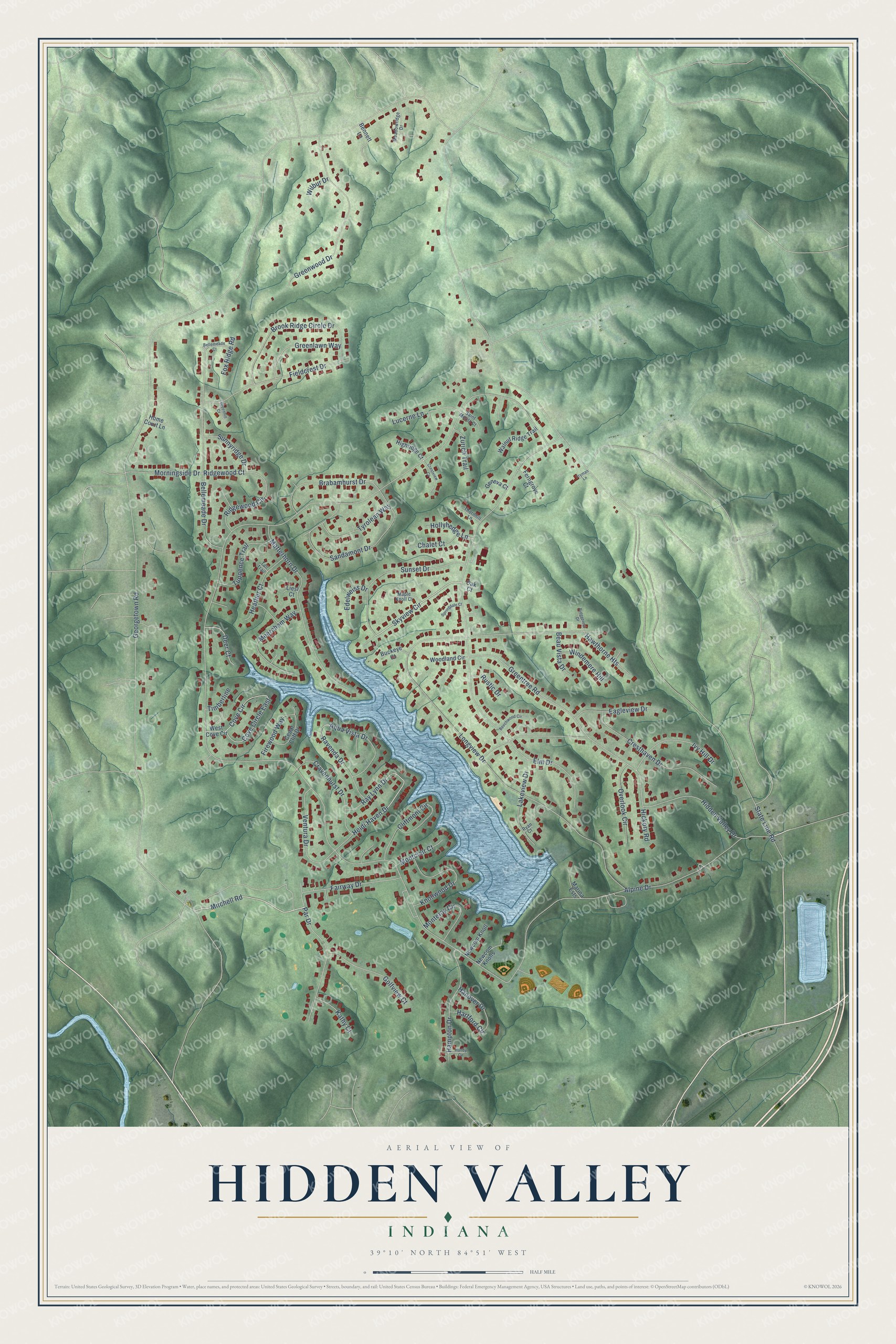
This beautifully detailed map of Hidden Valley, Indiana was created in 2026 using aerial imagery combined with modern topographical, census, street and landmark data. It’s a one-of-a-kind view of Hidden Valley that combines accurate data with a vintage aesthetic. The map shows every building in its true location, many of the roads carry their names, and the shaded topographic relief shows the shape of the land.
Explore an aerial view of Hidden Valley, Indiana
On the map you’ll find Skyview Circle, Heidi Haven Drive, Ridgewood Court, Mitchell Road, Alpine Drive, Georgetown Road, State Line Road, Longview Drive, Lakeview Drive, Hickory Road, Fairway Drive, Bellemeade Drive, and more. If you look closely you can even find your house accurately drawn in its correct location. Zoom in on the preview to look for yours.
Did you know this piece of Hidden Valley, Indiana history?
From the Eagle Country 99.3: "The first home in Hidden Valley was built by Gilbert Edger and Helen Edger on Overlook Circle."
Take a closer look at the Hidden Valley map
Street names on the Hidden Valley, Indiana map
These names are printed on the map of Hidden Valley, Indiana.
Streets and roads: Skyview Circle, Heidi Haven Drive, Ridgewood Court, Mitchell Road, Alpine Drive, Georgetown Road, State Line Road, Longview Drive, Lakeview Drive, Hickory Road, Fairway Drive, Bellemeade Drive.
More street names, A to Z
Aqua Vista Drive, Beau Vista Drive, Beechwood Circle, Bellemeade Court, Bennett Lane, Brabamhurst Drive, Brook Ridge Circle Drive, Buckeye Court, Cedar Cliff Drive, Chalet Court, Cliftmont Circle, Cove Circle, Cove Circle East, Cravenhurst Drive, Cresthaven Drive, Crestview Court, Deer Court, Eagleview Drive, Edelweiss Drive, Elm Drive, Ferngrove Court, Fieldcrest Drive, Firewood Way, Fox Ridge Road, Fryman Lane, Geneva Court, Golfview Court, Greenhill Court, Greenlawn Way, Greentree Road, Greenwood Drive, Hampton Drive, Hanby Circle, Hanover Drive, Hartford Circle, Hawthorne Heights, Heather Court, Hidden Valley Drive, Highridge Court, Hollyhedge Lane, Home Court Lane, Ivy Hill Drive, Kathy Court, Knollwood Drive, Liesl Court, Lucerne Lane, Maple Knoll Court, Marina Ests, Matterhorn Drive, Meadowridge Drive, Meercham Way, Montclair Court, Monteray Circle, Morningside Drive, Newcom Knoll, Newcom Knolls, Oak Court, Overlook Circle, Par Drive, Ravenda Drive, Ray Lynn Drive, Ridgecrest Drive, Ridgewood Circle, Rustic Drive, Ryan Court, Saint Moritz Court, Sandamont Drive, Springdale Court, Sunnyridge Drive, Sunset Drive, Tali Trail, Thornhill Lane, Timberline, Tuppence Trail, Tyrolean Way, Ventura Drive, Walnut Ridge Trail, West Cove Circle, Wilbur Drive, Windemere Hill, Woodland Circle, Zurich Trail.
See the Hidden Valley, Indiana map on a wall
The Hidden Valley map as an 18 x 24 inch print in a black frame.

This beautifully detailed map of Hidden Valley makes an attractive addition to your office, library, or den, and it can even be used to teach children the geography and history of the area. It also makes a great gift for someone who left Hidden Valley and still calls it home. When you’re done exploring, click here to get your copy of the Hidden Valley map.