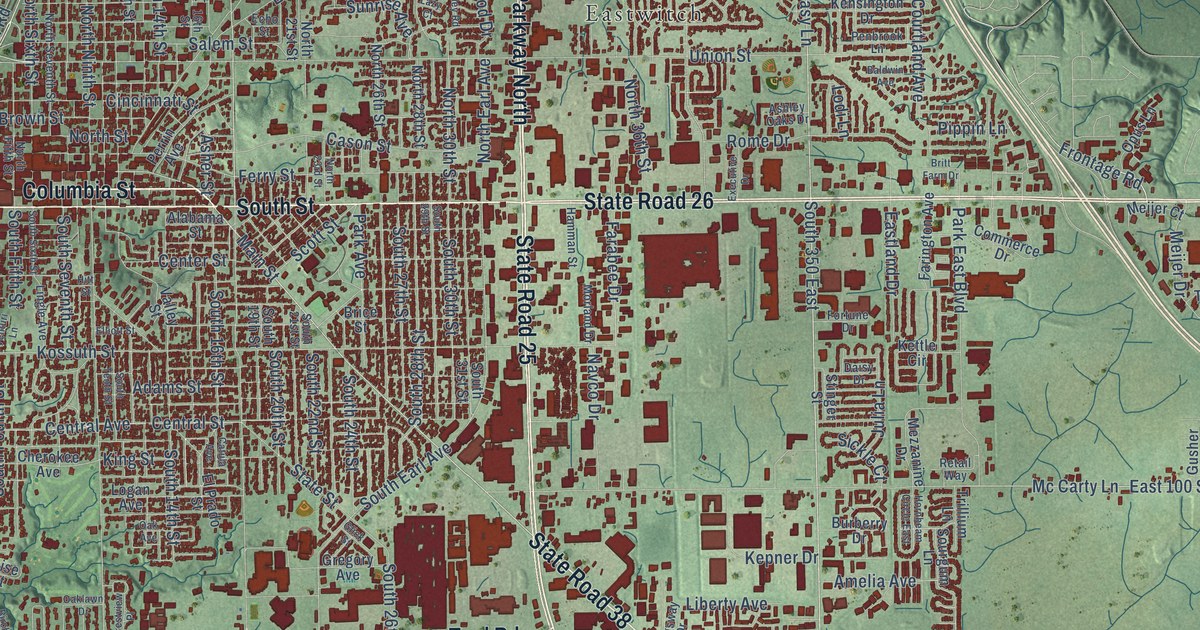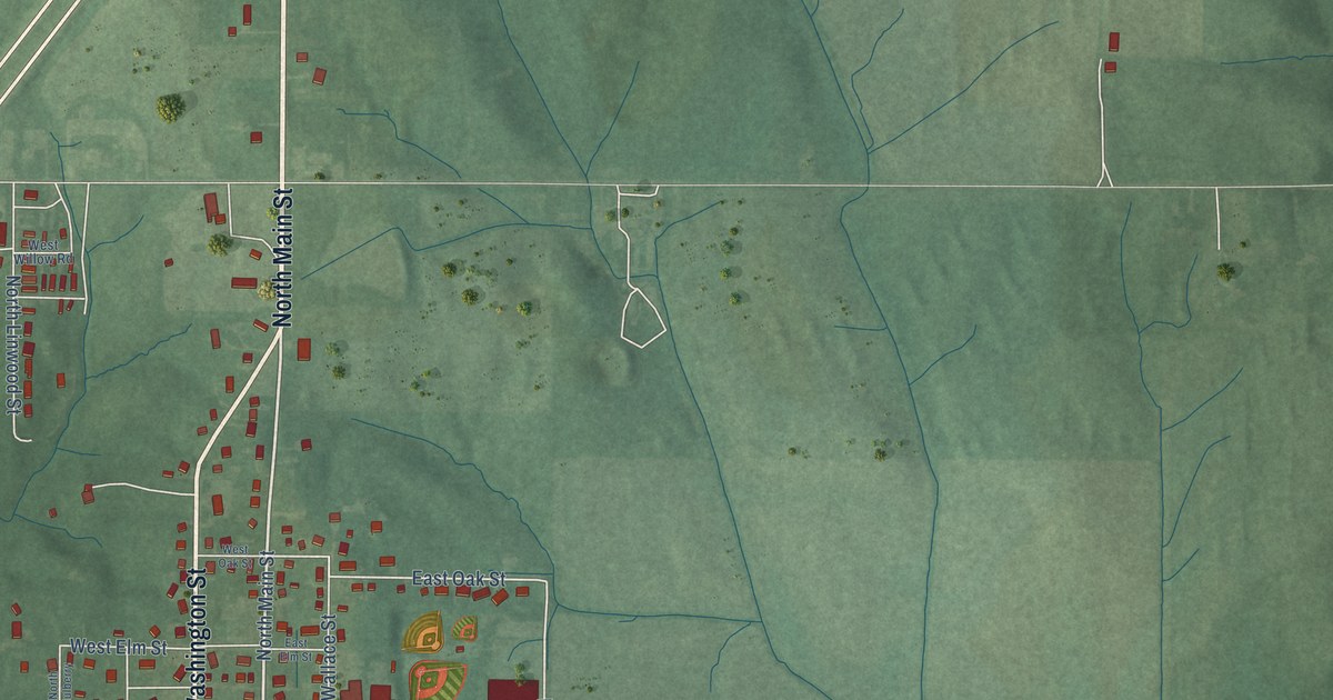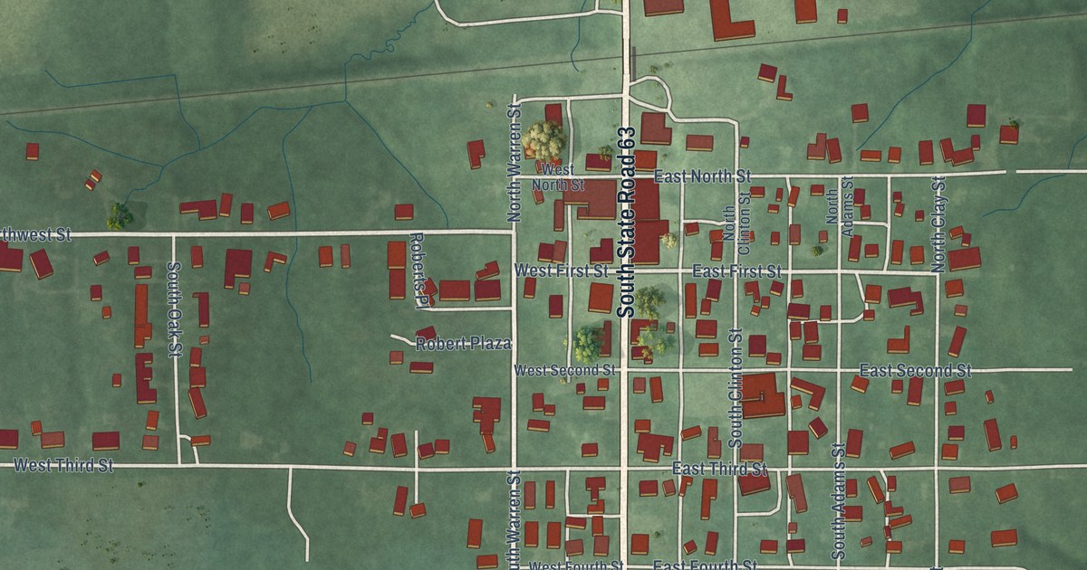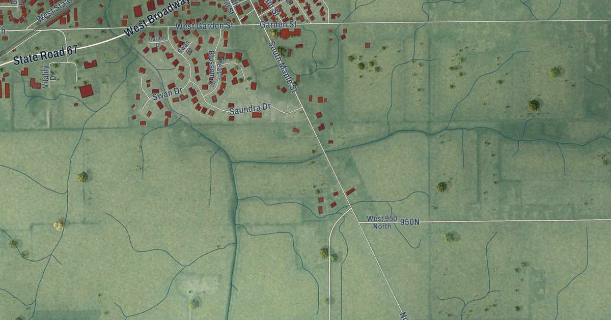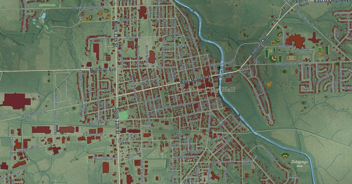
This beautifully detailed map of Decatur, Indiana was created in 2026 using aerial imagery combined with modern topographical, census, street and landmark data. It’s a one-of-a-kind view of Decatur that combines accurate data with a vintage aesthetic. The map shows every building in its true location, many of the roads carry their names, and the shaded topographic relief shows the shape of the land.
Explore an aerial view of Decatur, Indiana
On the map you’ll find Decatur City Hall and Kekigonga Park, along with West Monroe Street, Bellmont Road, Nuttman Avenue, North 13th Street, East US Highway 224, South 13th Street, Limberlost Trail, North Second Street, Kemper Lane, Mercer Avenue, and more. If you look closely you can even find your house accurately drawn in its correct location. Zoom in on the preview to look for yours.
Did you know this piece of Decatur, Indiana history?
From the Standard History of Adams and Wells Counties: "Decatur was named in honor of the American naval hero and the original town was platted June 23, 1836, occupying a northern portion of section 3 in Washington Township."
Take a closer look at the Decatur map
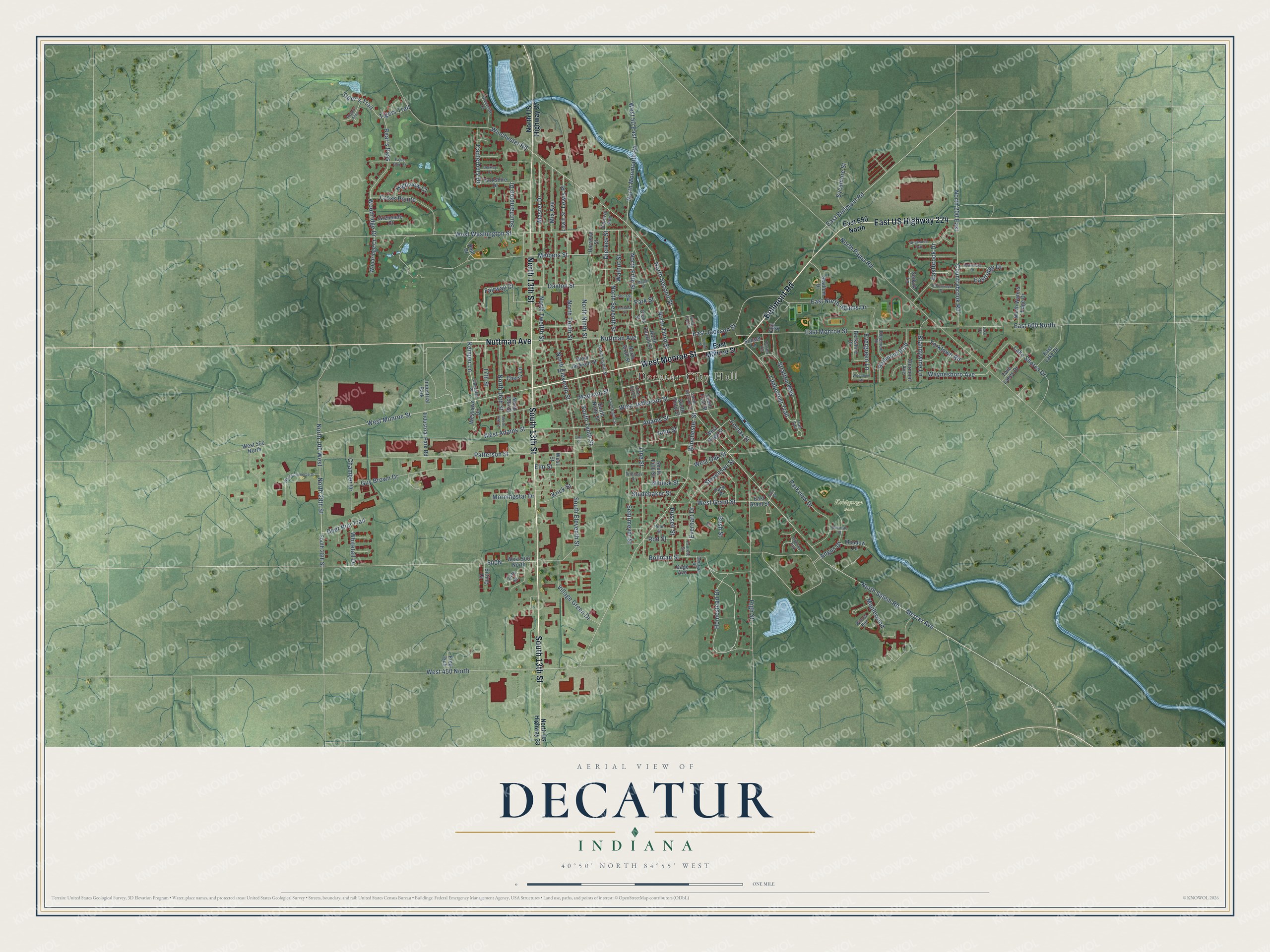
Street and place names on the Decatur, Indiana map
These names are printed on the map of Decatur, Indiana.
Places: Decatur City Hall, Kekigonga Park, Industrial Park and Highland Park.
Streets and roads: West Monroe Street, Bellmont Road, Nuttman Avenue, North 13th Street, East US Highway 224, South 13th Street, Limberlost Trail, North Second Street, Kemper Lane, Mercer Avenue, East Bellmont Road, North 28th Street.
More street names, A to Z
14th Street, 17th Street, Adams Street, Angus Drive, Beal Drive, Bear's Pass, Bellmont Boulevard, Berkley Court, Berkshire Drive, Bollman Street, Brandywine Lane, Briarwood Trail, Brookwood Drive, Bush Street, Canterbury Drive, Central Avenue, Chamber Drive, Cherry Lane, Clermont Avenue, Closs Street, Countrybrook Road, Cross Pointe, Dayton Street, Deer Run Trail, Dierkes Street, Dormac Street, Downridge Drive, Eagle Glen Court, East 600 North, East 650 North, Eastbrook Drive, East Grant Street, East Jackson Street, East Lake Drive, East Monroe Street, East North Adams Drive, Eastridge Drive, East Street, Edgemont Drive, Eitting Court, Elm Street, Evergreen Lane, Everhart Drive, Fairway Court, Faurote Street, Fornax Street, Fred Isch, Front Street, Gage Avenue, Georgia Street, Grenelefe Court, Guy Brown Drive, Harrison Street, High Street, Highview Court, Hogan's Alley, Homestead Drive, Indiana Street, Industrial Park Road, John Street, Krick Street, Lake Court, Lake Shores Drive, Lewis Place, Lewis Street, Line Street, Linn Street, Madison Street, Maple Street, Maplewood, Master Drive, Meadow Lane, Meibers Street, Mix Avenue, Morningstar Drive, Niblick Street, North 15th Street, North 16th Street, North 100 West, North 200 East, North Eighth Street, North Eleventh Street, North Fifth Street, North First Street, North Fourth Street, North Monmouth Road, North Ninth Street, North Piqua Road, North Salem Road, North Seventh Street, North Sixth Street, North Tenth Street, North Third Street, North Twelfth Street, North US Highway 27, North US Highway 33, North Waters Edge Drive, Oakridge Place, Ogg Street, Park Place, Park Street, Parkview Drive, Patterson Street, Penn Street, Porter Vis, Riverside Court, Rod Street, Russell Street, Schirmeyer Street, Seikirk Lane, Short Street, South 16th Street, South 28th Street, Southampton Drive, South Eighth Street, South Eleventh Street, South Fifth Street, South First Street, South Ninth Street, South Second Street, South Sixth Street, South Tenth Street, South Third Street, Spencer Street, Stadium Drive, Stevenson Street, Stratton Way, Studebaker Street, Sunset Lane, Sycamore Street, Tiger's Trail, Tigers Trail, Trail End, Twin Lakes Drive, Village Green Drive, Walnut Street, Waynesboro Avenue, West 50 East, West 450 North, West 500 North, West 550 North, West Adams Street, West Commerce Drive, West Grant Street, West Jackson Street, West Jefferson Street, Westlawn Drive, West Oak Street, West Rugg Street, West Street, West Washington Street, Whitetail Drive, Willow Run, Winchester Road, Winchester Street, Woodlynn Drive, Woodridge Court, Woodridge Drive, Yorkshire Drive, Yorktown Road.
See the Decatur, Indiana map on a wall
The Decatur map as an 18 x 24 inch print in a black frame.

This beautifully detailed map of Decatur makes an attractive addition to your office, library, or den, and it can even be used to teach children the geography and history of the area. It also makes a great gift for anyone who grew up in Decatur or moved away. When you’re done exploring, click here to get your copy of the Decatur map.