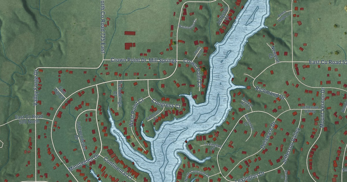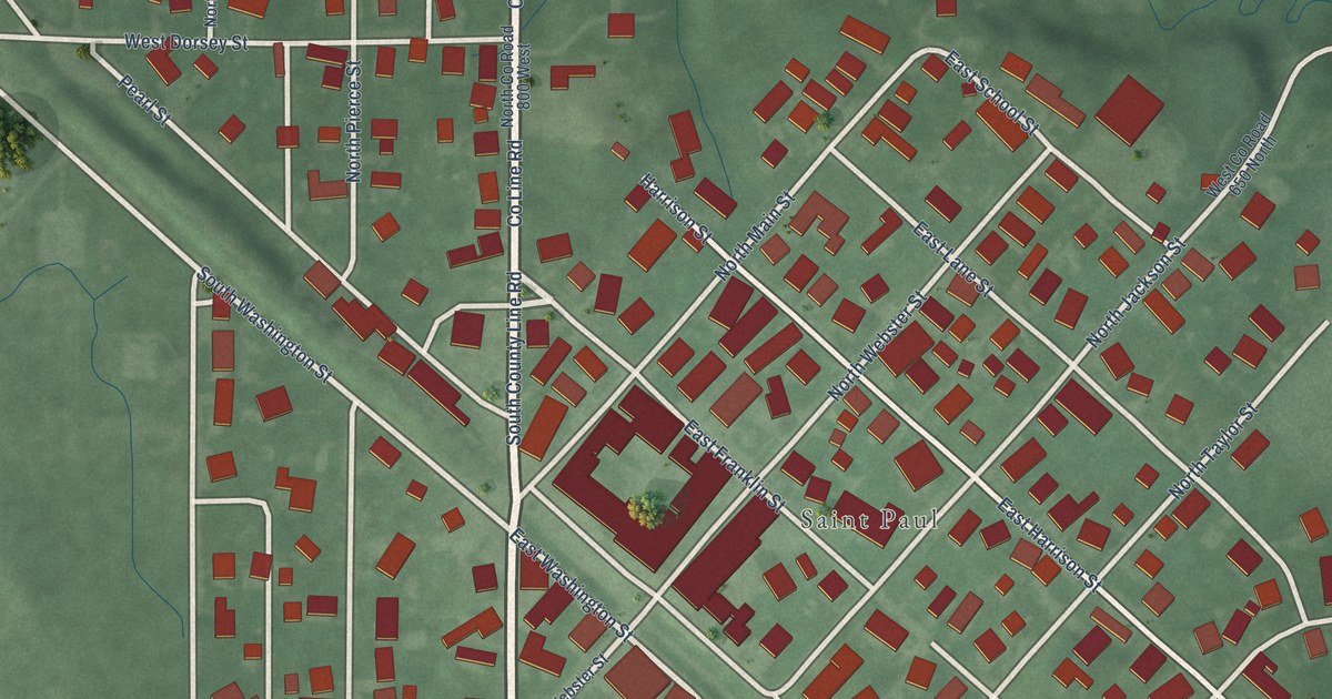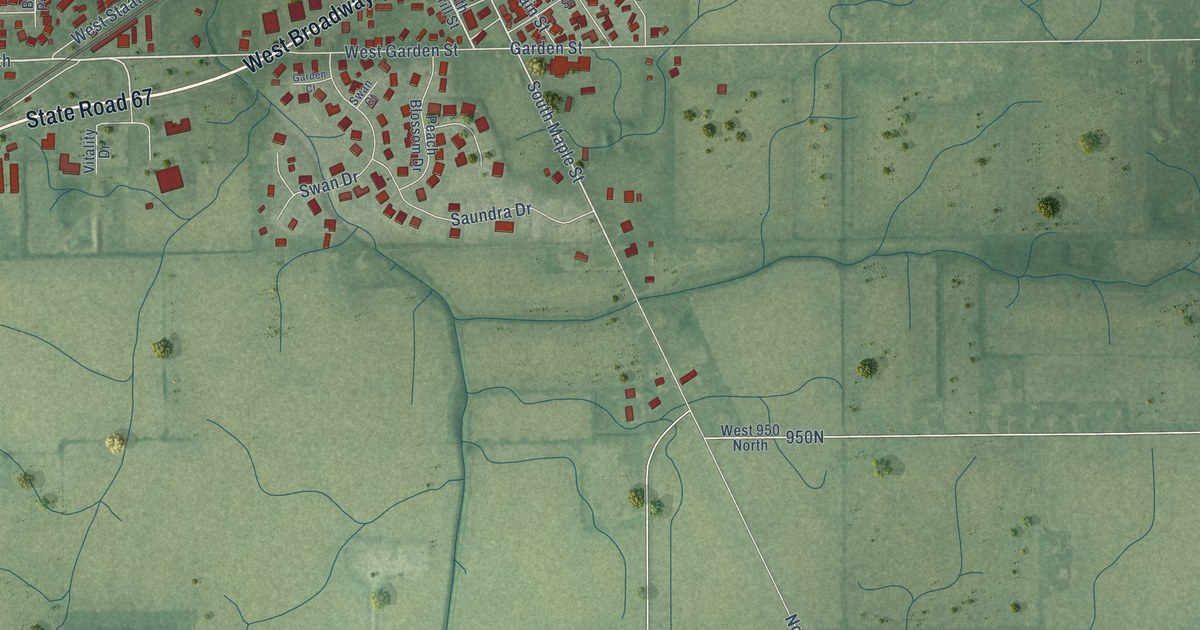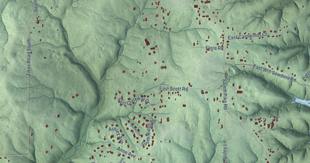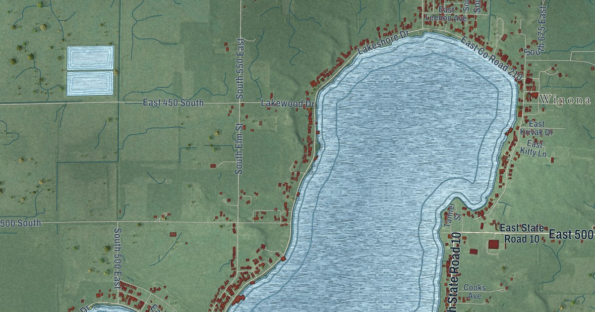
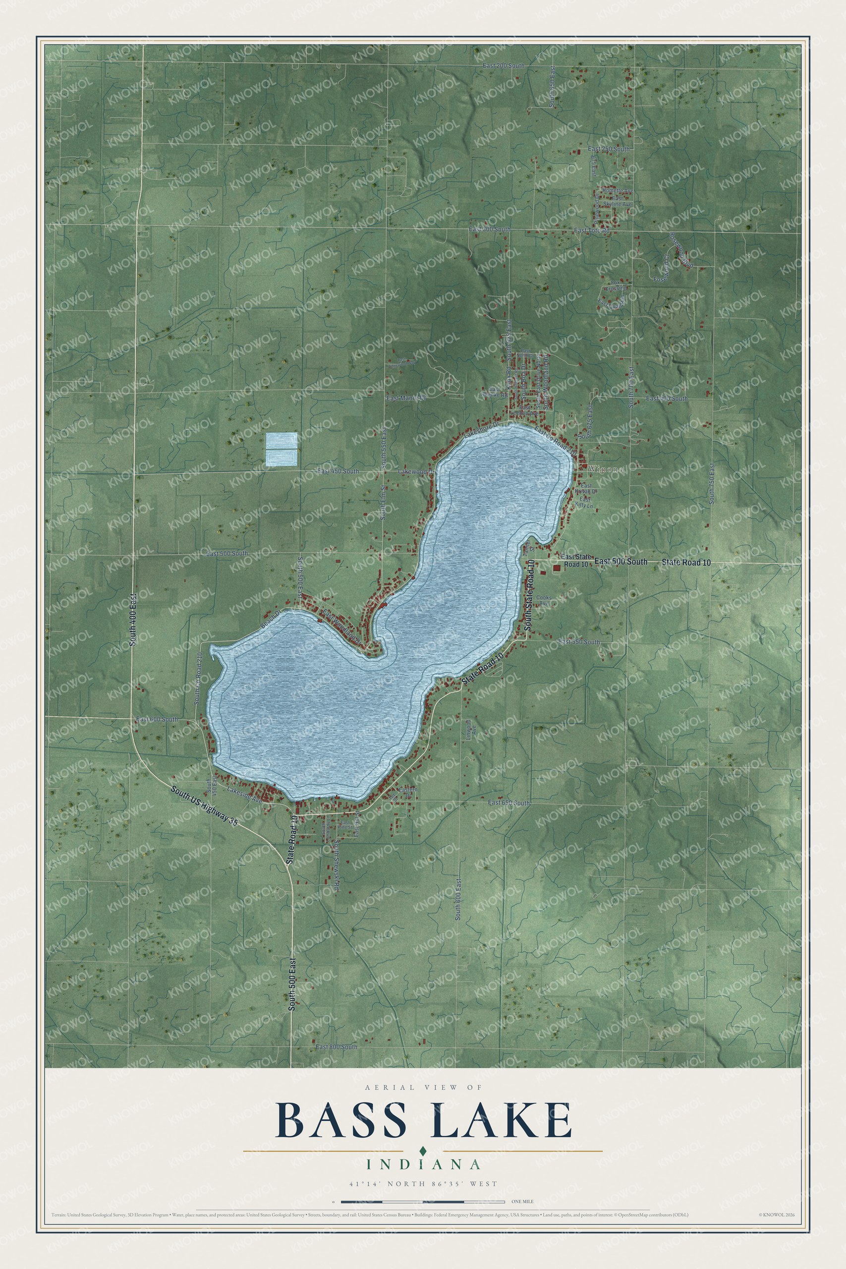
This beautifully detailed map of Bass Lake, Indiana was created in 2026 using aerial imagery combined with modern topographical, census, street and landmark data. It's a modern aerial view of Bass Lake in Starke County, Indiana, that combines modern data with a vintage aesthetic. The roads feature printed names, and if you look closely you can find your exact house accurately shown in its correct location.
Explore an aerial view of Bass Lake, Indiana
On this map you'll find Winona, South US Highway 35, South 500 East, South State Road 10, State Road 10, East 500 South, South 400 East, South Co Road 210, Lakeside Avenue, Beach Drive, East 600 South, Lakeshore Drive, and more. Each red shape is a building, so zoom in on the preview and look for yours.
Here is a piece of Bass Lake history. Bass Lake was one of Indiana's famous summer resorts, and it ranked fourth in size among the state's lakes. Vacationers from Chicago, Indianapolis and other big cities spent summer weeks there, riding steamers that landed passengers at the ends of long piers around the lake. The Knickerbocker Ice Company of Chicago kept several large ice houses at Lake Park Station. That's from the 1902 Guide to Starke County.
Bass Lake is a community in Starke County. The Census Bureau counted 1,384 people here in 2020.
Take a closer look at the Bass Lake map
Names on this map
These names are printed on this map.
Places: Winona.
Streets and roads: South US Highway 35, South 500 East, South State Road 10, State Road 10, East 500 South, South 400 East, South County Road 210, Lakeside Avenue, Beach Drive, East 600 South, Lakeshore Drive, East County Road 210.
More street names, A to Z
675 East, Cooks Avenue, East 200 South, East 250 South, East 300 South, East 400 South, East 450 South, East 550 South, East 650 South, East 800 South, East Edgewood Way, Eastern Drive, East Hill Street, East Hoenke Road, East Kitty Lane, East Krivak Drive, East Leenon Avenue, East Manor Drive, East North Drive, East Pine Street, East Quail Run, East Skyline Avenue, East State Road 10, East Toto Road, East Woodland Drive, Fosewood Court, Fox Crossing, Homette Avenue, Knox Road, Lakewood Drive, Linwood Avenue, Pinewood Drive, Rosewood Boulevard, South 450 East, South 550 East, South 600 East, South 625 East, South 650 East, South 675 East, South 700 East, South 750 East, South Boa Drive, South East Drive North, South Elm Street, South Hillcrest Road, South Lombardy Lane, South Shewski Road, South Woodland Road, Tanner Street, Tee Street.
See it on a wall
The Bass Lake map as a framed print. Swipe for more.


Created by KNOWOL in 2026. The buildings are small red shapes, the roads carry their printed names, and shaded relief shows the shape of the land. The title panel reads "AERIAL VIEW OF BASS LAKE, INDIANA" with 41°14' NORTH 86°35' WEST.
It suits a den, a classroom or a front hall, and it makes a gift for anyone with Bass Lake roots. Open the preview and find the block you know. See sizes and frames for the Bass Lake map.