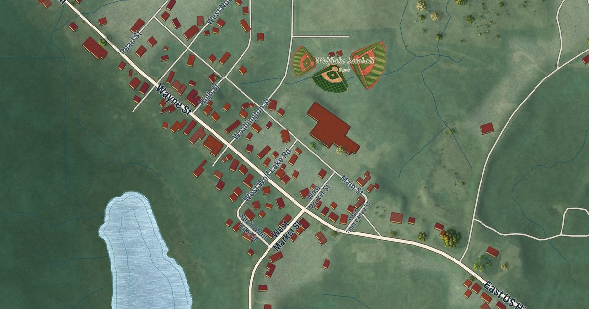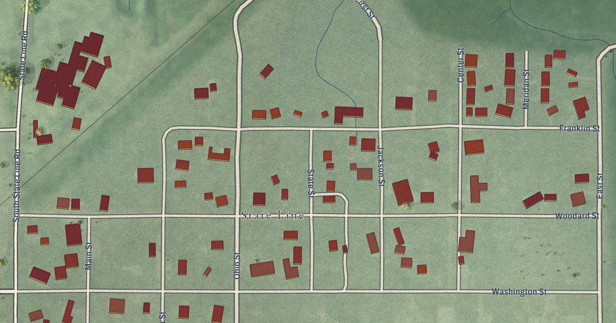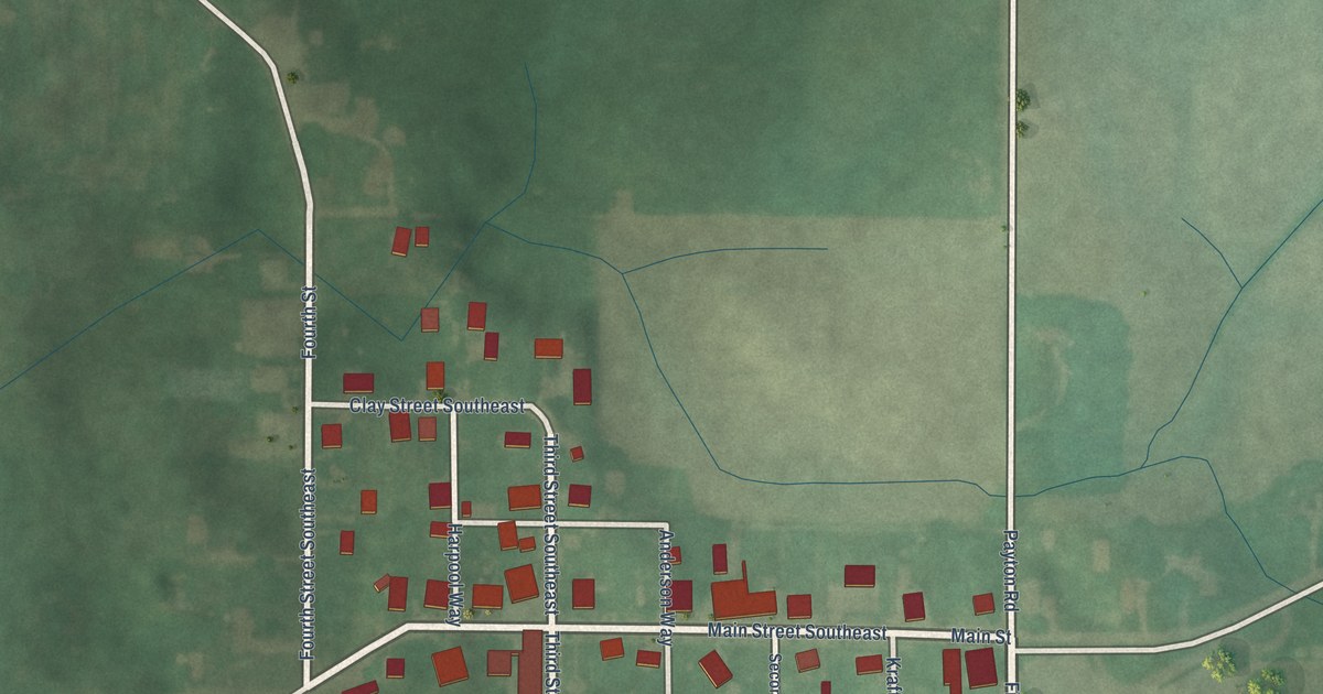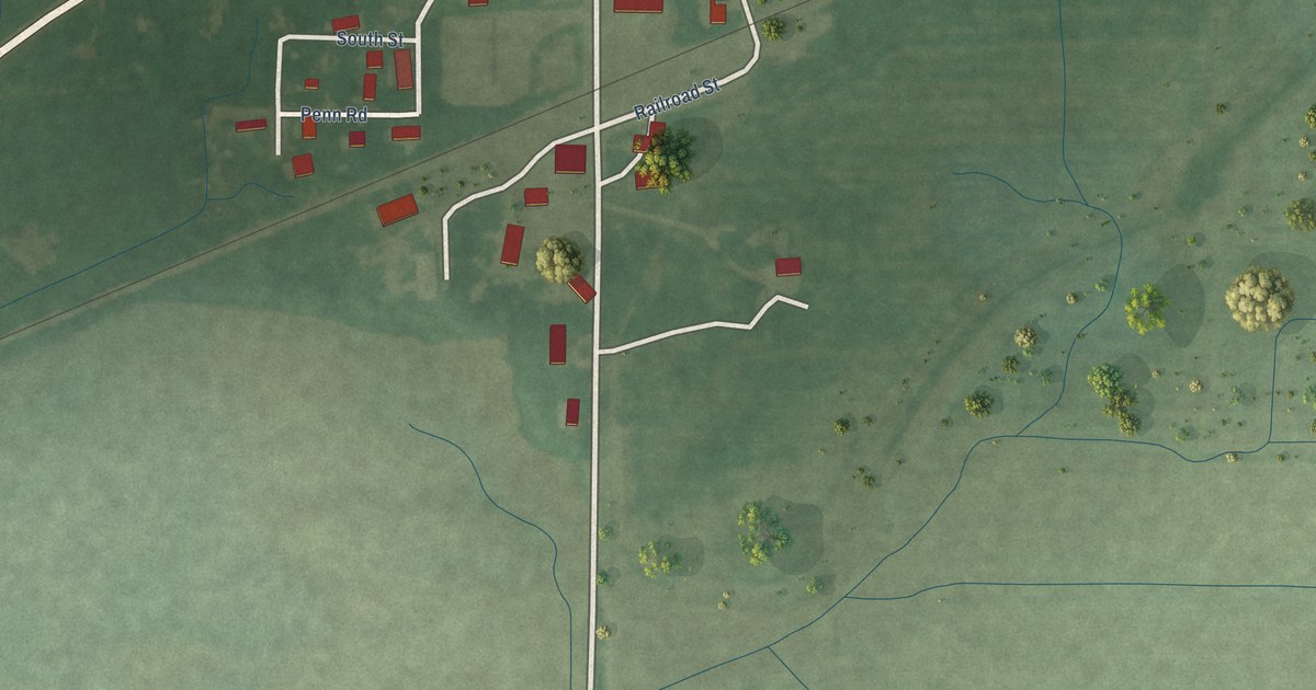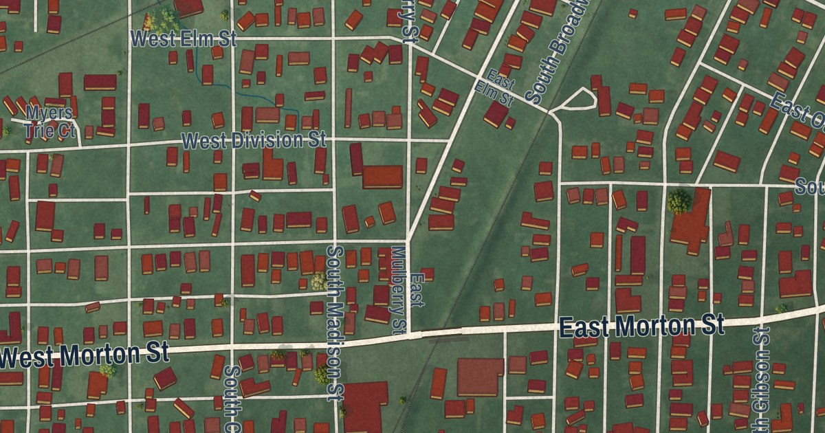
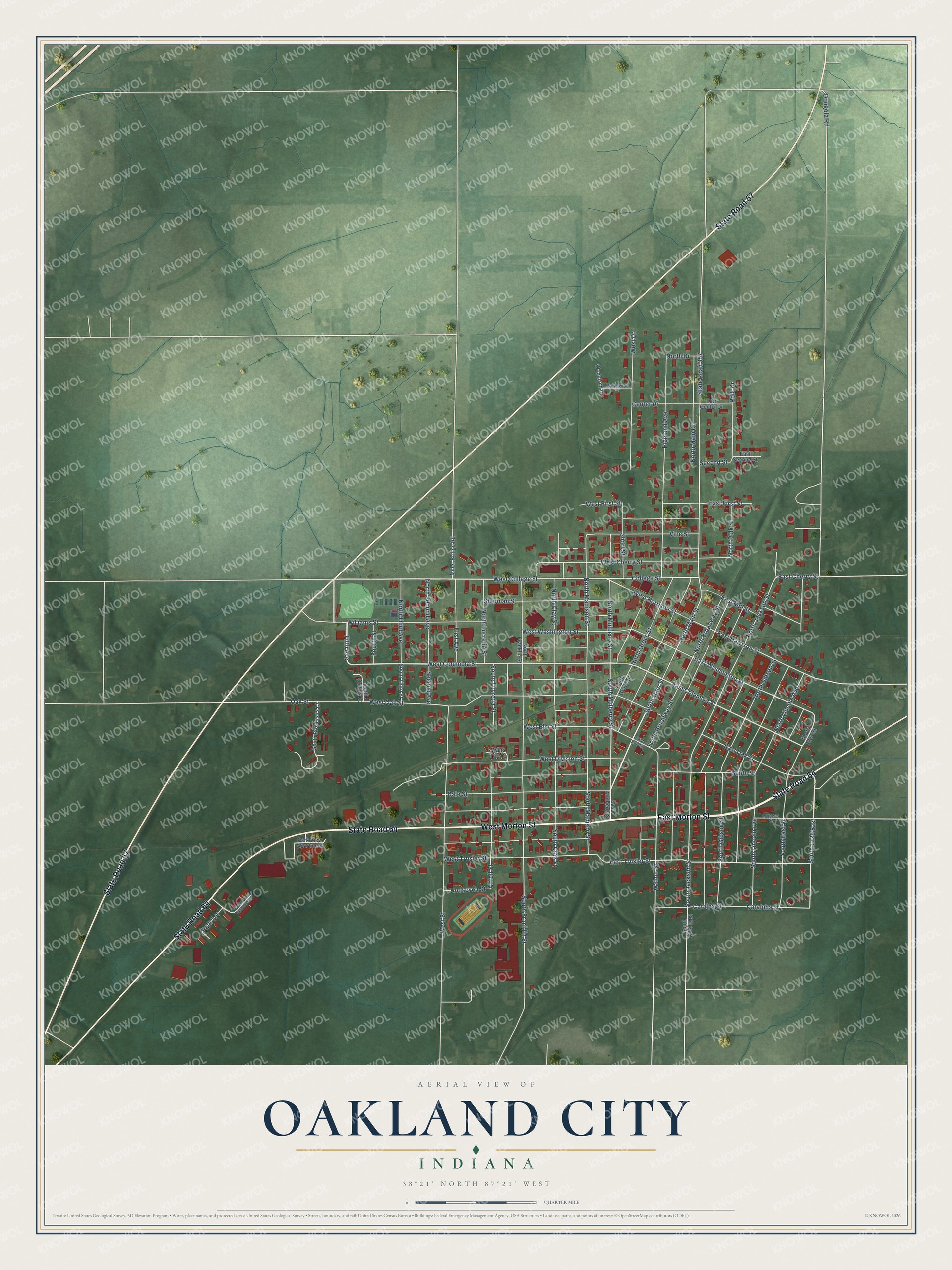
This beautifully detailed map of Oakland City, Indiana was created in 2026 using aerial imagery combined with modern topographical, census, street and landmark data. It’s a one-of-a-kind view of Oakland City that combines accurate data with a vintage aesthetic. The map shows every building in its true location, many of the roads carry their names, and the shaded topographic relief shows the shape of the land.
Explore an aerial view of Oakland City, Indiana
On the map you’ll find South 1225 East, along with East Morton Street, West Morton Street, State Road 64, State Road 57, West Columbia Street, South Main Street, Fifth Avenue, Dongola Road, West College Street, East Columbia Street, West Harrison Street, and more. If you look closely you can even find your house accurately drawn in its correct location. Zoom in on the preview to look for yours.
Did you know this piece of Oakland City, Indiana history?
From the History of Gibson County Indiana: "The city owns its own water company, which is named the Oakland City Water Company, supplying the town from an artificial lake."
Take a closer look at the Oakland City map
Street names on the Oakland City, Indiana map
These names are printed on the map of Oakland City, Indiana.
Streets and roads: East Morton Street, West Morton Street, State Road 64, State Road 57, Dongola Road, South Main Street, West Columbia Street, Fifth Avenue, South 1225 East, West College Street, East Columbia Street, East Trusler Street.
More street names, A to Z
Alfrell Street, Catalpa Street, Catalpha Street, Center Drive, College Street, Cypress Street, Dale Street, East Center Drive, East Cherry Street, East Elm Street, East First Street, East Harrison Street, East Mill Street, East Mulberry Street, East Oak Street, East Second Street, East Washington Street, First Avenue, Fourth Street, Highland Avenue, Maplewood Drive, Miller Bridge Road, Myers Trie Court, North Broadway Street, North Clay Street, North Drive, North East Street, North Franklin Street, North Gibson Street, North Grove Street, North Jackson Street, North Lincoln Avenue, North Lucretia Street, North Madison Street, North Main Drive, North Main Street, North Mulberry Street, North Polk Street, North Second Avenue, North Third Avenue, Oak Street, Park Terrace, Park View Apartment, Pleasant View Apartments, Polk Drive, Roosevelt Street, Second Avenue, Second Street, Sherman Street, Short Street, South 1200 East, South Broadway Street, South Broshears Court, South Clay Street, South Collins Court, South East Street, South Franklin Street, South Gibson Street, South Grove Street, South Jackson Street, South Lincoln Avenue, South Lucretia Street, South Madison Street, South Mulberry Street, South Street, South Third Street, State Road 357, Vine Street, Walnut Street, West Cherry Street, West Division Street, West Drive, West Elm Street, West First Street, West Harrison Street, West Oak Street, West Street, West Trusler Street, West Washington Street, Williams Street, Woodland Drive.
See the Oakland City, Indiana map on a wall
The Oakland City map as an 18 x 24 inch print in a black frame.

This beautifully detailed map of Oakland City makes an attractive addition to your office, library, or den, and it can even be used to teach children the geography and history of the area. It also makes a great gift for anyone who grew up in Oakland City or moved away. When you’re done exploring, click here to get your copy of the Oakland City map.