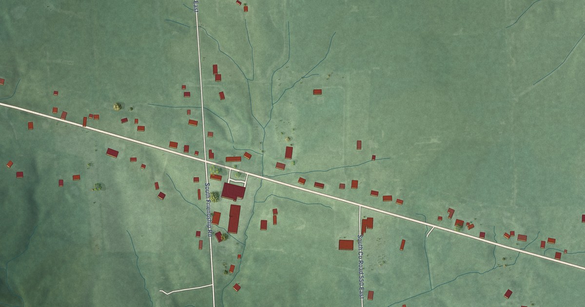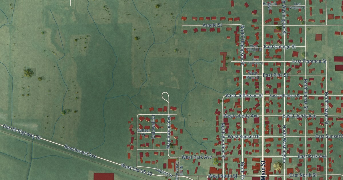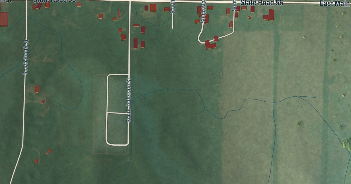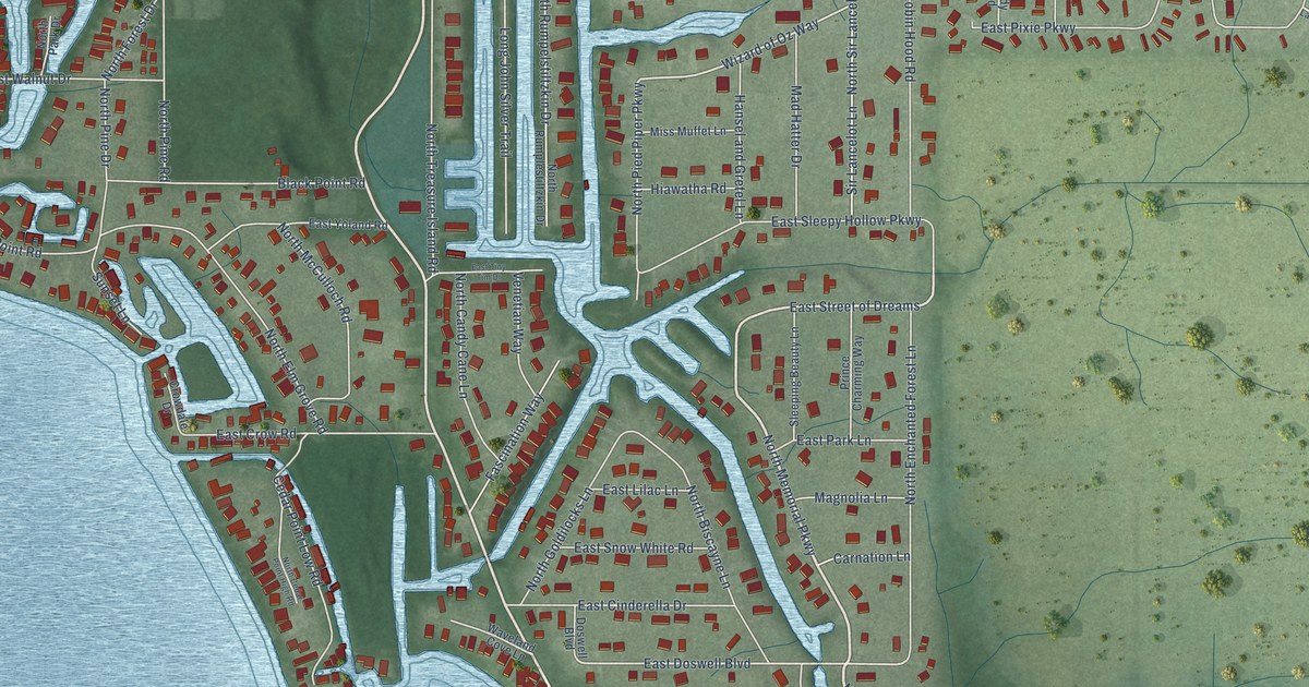
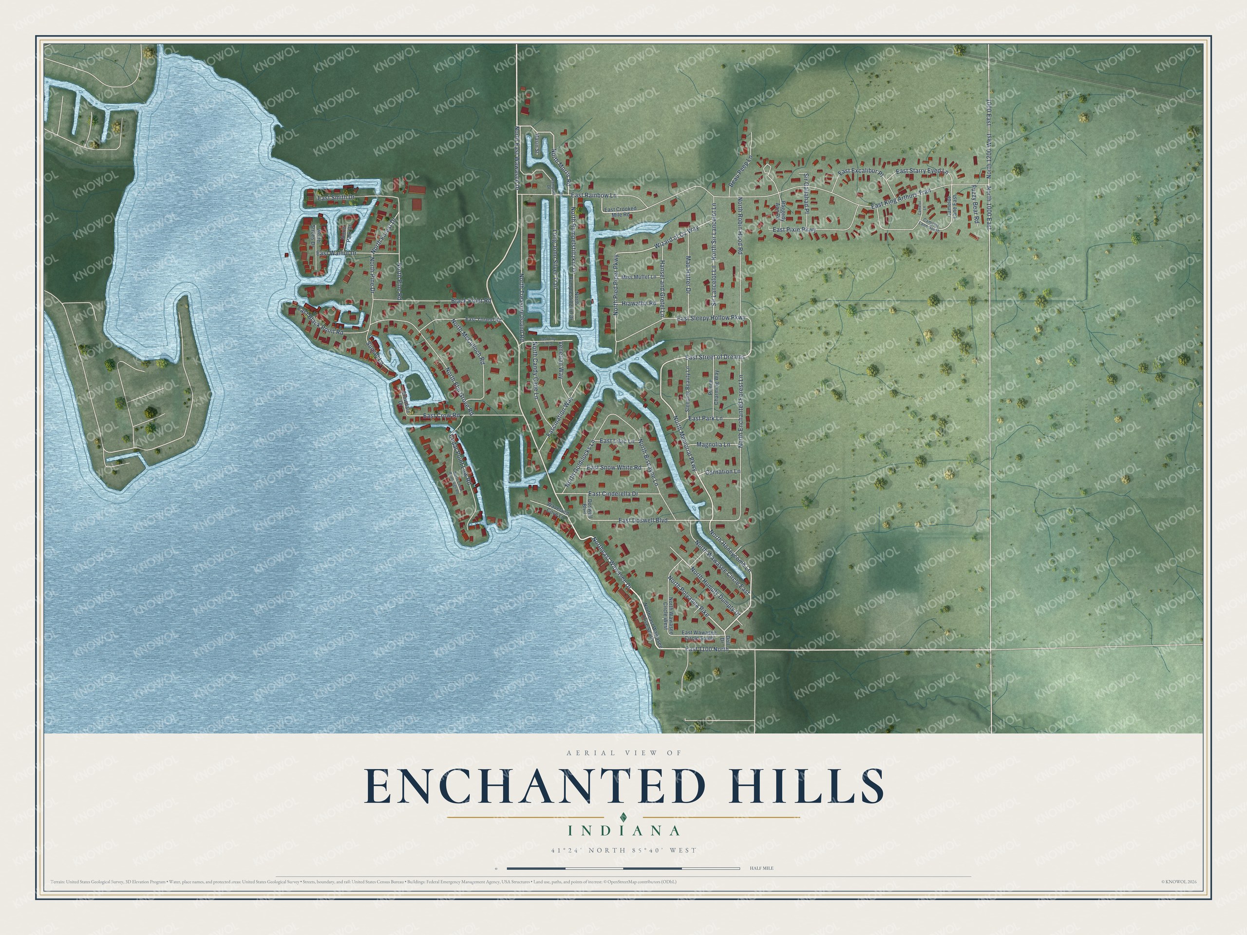
This beautifully detailed map of Enchanted Hills, Indiana was created in 2026 using aerial imagery combined with modern topographical, census, street and landmark data. It's a modern aerial view of Enchanted Hills in Kosciusko County, Indiana, that combines modern data with a vintage aesthetic. The roads feature printed names, and if you look closely you can find your exact house accurately shown in its correct location.
Explore an aerial view of Enchanted Hills, Indiana
On this map you'll find North Honeycomb Lane, Northeast Wawasee Drive, East 1100 North, North East Wawasee Drive, North Memorial Parkway, East Street of Dreams, North Polyanna Pike, North Morris Road, Wizard of Oz Way, Sir Lancelot Lane, East Doswell Boulevard, East King Arthurs Trail, and more. Each red shape is a building, so zoom in on the preview and look for yours.
Enchanted Hills is a community in Kosciusko County. Enchanted Hills sits about 3 miles west of Cromwell, 4 miles east of Syracuse and 5 miles southwest of Ligonier. The map prints the town name in its title panel, with the coordinates below it.
Take a closer look at the Enchanted Hills map
Names on this map
These names are printed on this map.
Streets and roads: North Honeycomb Lane, Northeast Wawasee Drive, East 1100 North, North East Wawasee Drive, North Memorial Parkway, East Street of Dreams, North Polyanna Pike, North Morris Road, Wizard of Oz Way, Sir Lancelot Lane, East Doswell Boulevard, East King Arthurs Trail.
More street names, A to Z
1000 East, Basin Street, Beau Peep Lane, Black Point Road, Camelot Lane, Camelot Lane East, Camelot Lane South, Carnation Lane, Cedar Point Low Road, Crowdale Drive, Doll Drive, Doswell Boulevard, East Black Point Road, East Cinderella Drive, East Crooked Mile Road, East Crow Road, East Excalibur Place, East Lilac Lane, East Park Lane, East Pixie Parkway, East Rainbow Lane, East Sleepy Hollow Parkway, East Smith Drive, East Snow White Road, East Starry Eyed Lane, East Tiny Tim Drive, East Walnut Drive, East Wawasee Circle South, East Yoland Road, Fascination Way, Fuzzy Bear Road, Hansel and Gretel Lane, Hiawatha Road, Long John Silver Trail, Mad Hatter Drive, Magnolia Lane, Miss Muffet Lane, North 1000 East, North 1200 West, North Biscayne Lane, North Candy Cane Lane, North Cedar Point High Road, Northeast Wawasee Drive South, North Elm Grove Road, North Enchanted Forest Lane, North Forest Drive, North Goldilocks Lane, North Humpty Dumpty Drive, North McCulloch Road, North Park Drive, North Pied Piper Parkway, North Pine Drive, North Pine Road, North Robin Hood Road, North Rumpelstiltzkin Drive, North Rumplestiltzkin Drive, North Sir Lancelot Lane, North Strohs Drive, North Treasure Island Road, North Wawasee Circle East, North Wawasee Circle West, Prince Charming Way, Raggedy Ann Road, Rampart Drive, Sir Gallahad Place, Sleeping Beauty Lane, Sunset Lane, Venetian Way, Waveland Cove Lane.
See it on a wall
The Enchanted Hills map as a framed print. Swipe for more.


Created by KNOWOL in 2026. The buildings are small red shapes, the roads carry their printed names, and shaded relief shows the shape of the land. The title panel reads "AERIAL VIEW OF ENCHANTED HILLS, INDIANA" with 41°24' NORTH 85°40' WEST.
It looks right in a kitchen, an office or a den, and it's a gift for anyone who grew up in Enchanted Hills or moved away. Open the preview and find your street. See sizes and frames for the Enchanted Hills map.