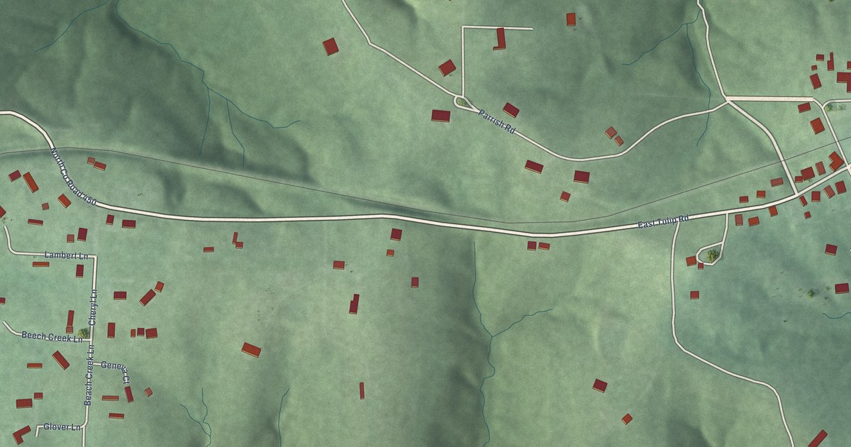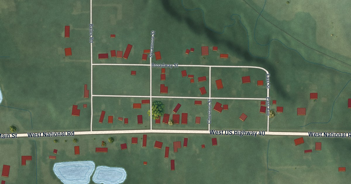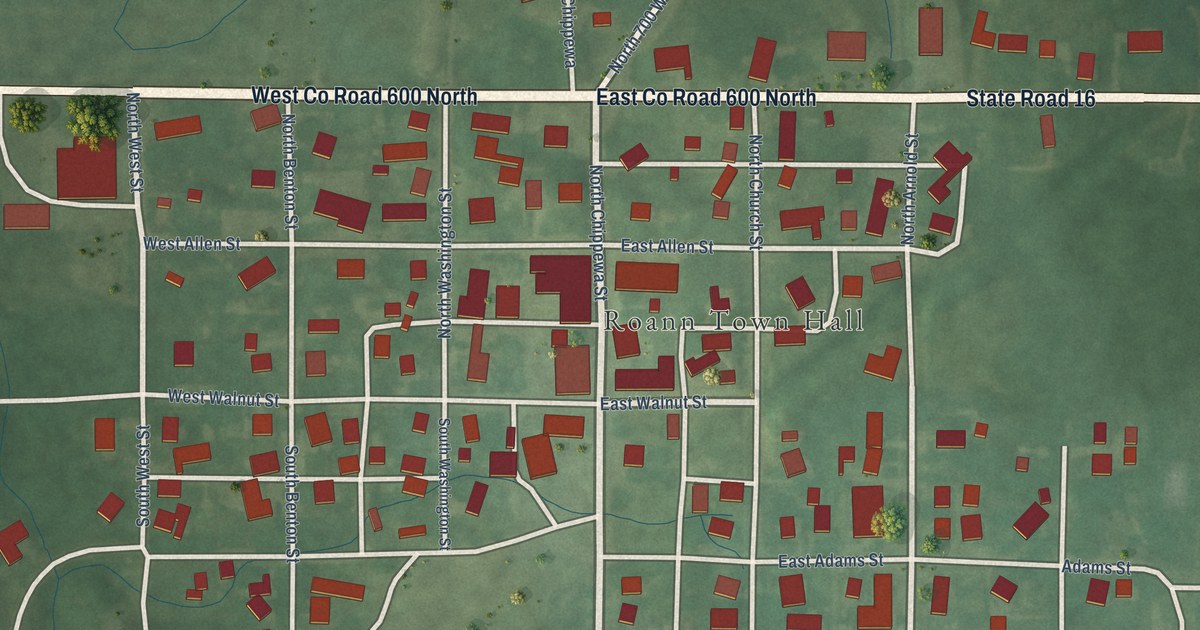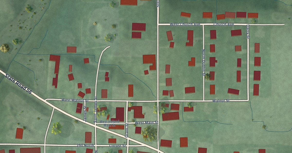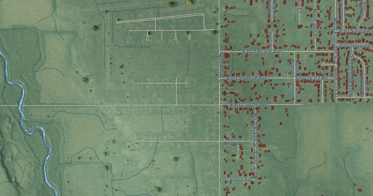
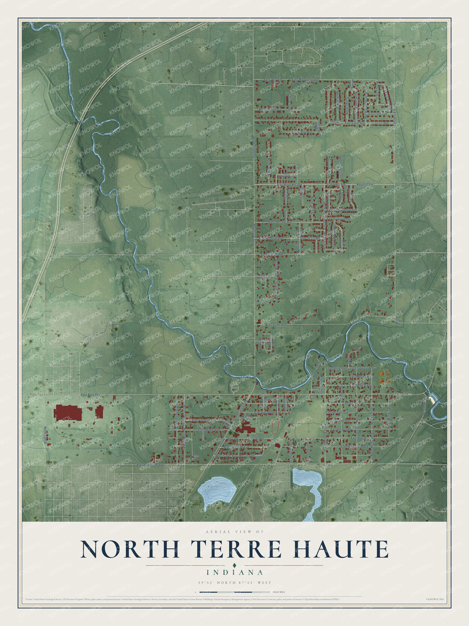
This beautifully detailed map of North Terre Haute, Indiana was created in 2026 using aerial imagery combined with modern topographical, census, street and landmark data. It's a modern aerial view of North Terre Haute in Vigo County, Indiana, that combines modern data with a vintage aesthetic. The roads feature printed names, and if you look closely you can find your exact house accurately shown in its correct location.
Explore an aerial view of North Terre Haute, Indiana
On this map you'll find Markles, Spelterville, East Morris Avenue, Rosehill Avenue, East 69th Avenue, East Rose Hill Avenue, 42 1/2 Street, East Terrace Avenue, North 31th Street, 73 1/2 Avenue, East Grant Avenue, North Fruitridge Avenue, and more. Each red shape is a building, so zoom in on the preview and look for yours.
North Terre Haute has a story worth telling. North Terre Haute was once called Ellsworth, and it was the largest community in Otter Creek Township. Its Ellsworth School was the township's first high school, and the Otter Creek School built on that site in 1917 taught every child in the township from first grade to graduation. Until 1928 the basketball team practiced in the school's front yard and played every game away from home. That year a new high school building with a gymnasium went up beside the old school. That's from the Terre Haute Tribune-Star.
North Terre Haute is a community in Vigo County. The Census Bureau counted 4,222 people here in 2020.
Take a closer look at the North Terre Haute map
Names on this map
These names are printed on this map.
Places: Markles and Spelterville.
Streets and roads: East Morris Avenue, Rosehill Avenue, East 69th Avenue, East Rose Hill Avenue, East Terrace Avenue, North 31th Street, East Grant Avenue, North Fruitridge Avenue, East Haythorne Avenue, North 37th Street, East Crystle Avenue, Hall Avenue.
More street names, A to Z
39th Street, 49th Avenue, 77 Avenue, Alexander Road, East 47th Avenue, East 48th Avenue, East 49th Avenue, East 74th Avenue, East 75th Avenue, East 78th Avenue, East Avalon Avenue, East Beulah Avenue, East Carol Avenue, East Carol Way, East Dexter Avenue, East Emerald Avenue, East Goldenrod Avenue, East Hall Avenue, East Hollywood Avenue, East Imperial Avenue, East Isabell Avenue, East Ivy Drive, East Linn Avenue, East Markle Avenue, East Marquette Avenue, East Melton Avenue, East Park Avenue, East Phillips Avenue, East Sandalwood Avenue, East Shabur Avenue, East Shelby, East Sycamore Avenue, East Teakwood Avenue, East Thomas Avenue, East Tuttle Avenue, East Ware, Estate Road, Grant Avenue, Hawk Street, Moon Court, Morning Star Court, Morris Avenue, North 13th Street, North 25th Street, North 32nd Street, North 34th Street, North 35th Street, North 36th Street, North 38th Street, North 39th Street, North 40th Street, North 41st Street, North 42nd Street, North Basswood Street, North Bishop Street, North Brandt Street, North Brighton Street, North Cedarwood Street, North Clinton Street, North Cottrel Street, North Cusenburg Street, North Ebbitt Street, North Erickson Street, North Fruitridge Street, North Hendricks, North Hendricks Street, North James Street, North Lafayette Street, North Michigan Street, North Milano Street, North Millikin Street, North Pierson Street, North Pinewood Street, North Pointe Avenue, North Roosevelt Street, North Rosebud Street, North Rosewood Street, North Sander Street, North Sawyer Street, North Show Street, North Smith Street, North Sprucewood Street, North Sunnyside Street, North Taft Street, North Wahoo Court, North Wahoo Tree Street, Taft Street, Tera North Street.
See it on a wall
The North Terre Haute map as a framed print. Swipe for more.


Created by KNOWOL in 2026. The buildings are small red shapes, the roads carry their printed names, and shaded relief shows the shape of the land. The title panel reads "AERIAL VIEW OF NORTH TERRE HAUTE, INDIANA" with 39°32' NORTH 87°22' WEST.
It looks right in a kitchen, an office or a den, and it's a gift for anyone who grew up in North Terre Haute or moved away. Open the preview and find your street. See sizes and frames for the North Terre Haute map.