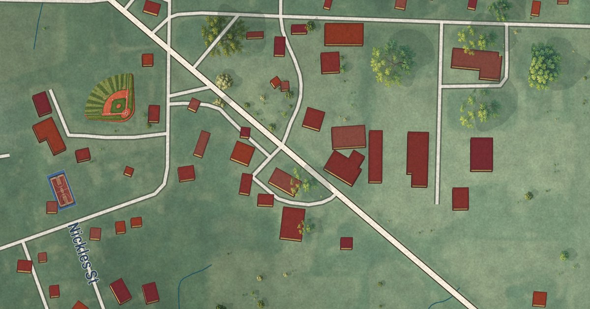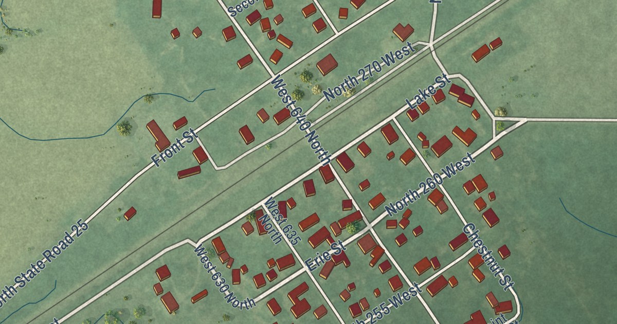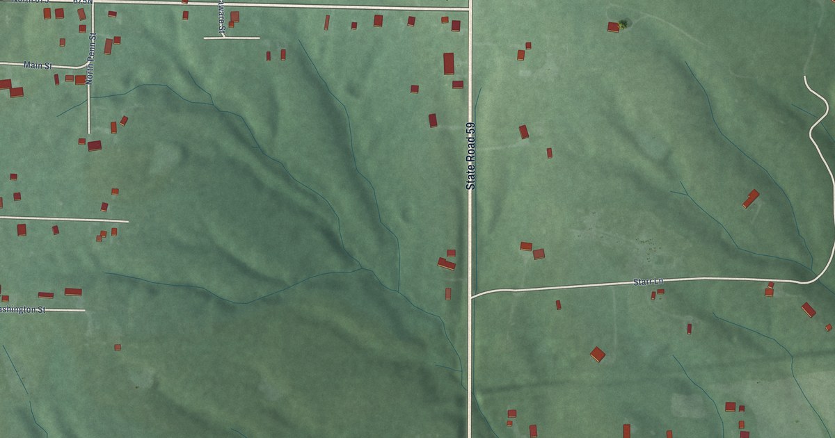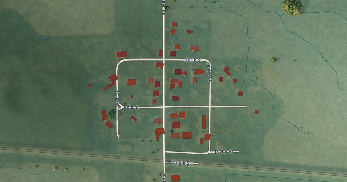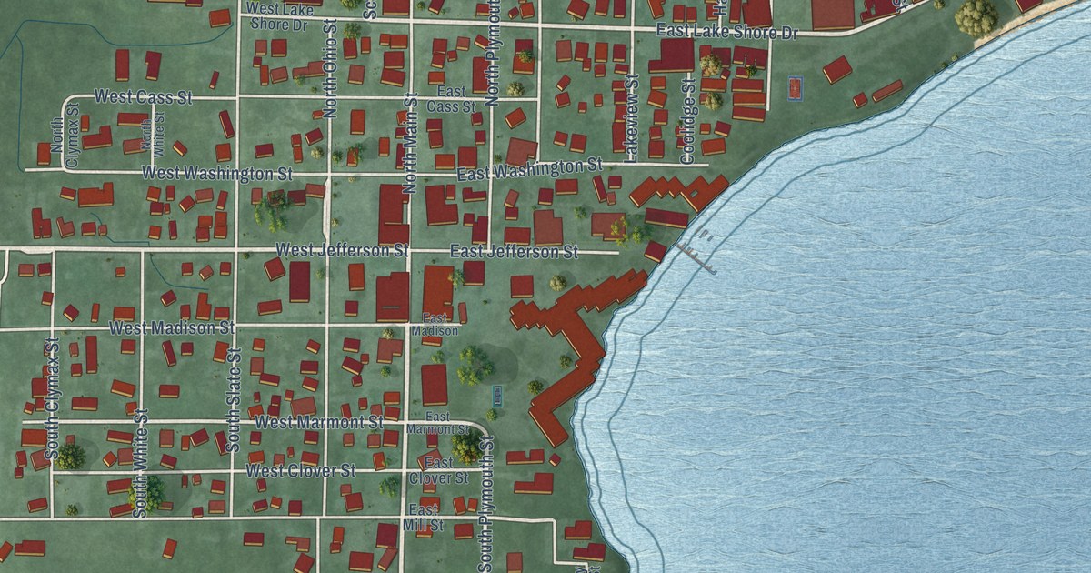
This beautifully detailed map of Culver, Indiana was created in 2026 using aerial imagery combined with modern topographical, census, street and landmark data. It’s a one-of-a-kind view of Culver that combines accurate data with a vintage aesthetic. The map shows every building in its true location, many of the roads carry their names, and the shaded topographic relief shows the shape of the land.
Explore an aerial view of Culver, Indiana
On the map you’ll find Masonic Cemetery, along with State Road 17, State Road 10, South Main Street, East Lake Shore Drive, West Jefferson Street, South Plymouth Street, School Street, Baker Street, West Marmont Street, North Ohio Street, Red Sunset Avenue, and more. If you look closely you can even find your house accurately drawn in its correct location. Zoom in on the preview to look for yours.
Did you know this piece of Culver, Indiana history?
From the Twentieth Century History of Marshall County: "On October 4, 1895, the board of commissioners changed the name from Marmont to Culver City, on petition of O. A. Rea and ninety-nine others, being a majority of the qualified electors of said Culver City."
Take a closer look at the Culver map
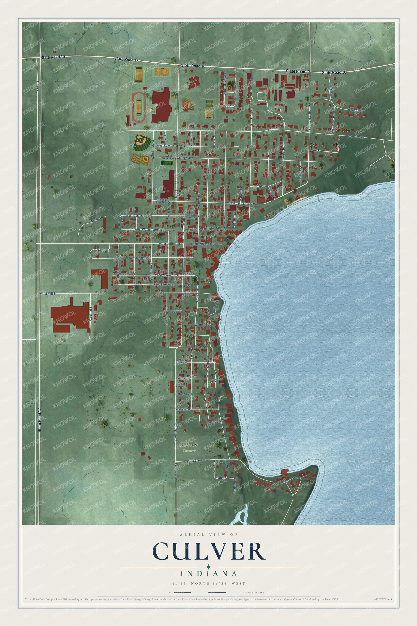
Street and place names on the Culver, Indiana map
These names are printed on the map of Culver, Indiana.
Places: Masonic Cemetery.
Streets and roads: State Road 17, State Road 10, South Main Street, East Lake Shore Drive, West Jefferson Street, South Plymouth Street, School Street, Baker Street, West Marmont Street, North Ohio Street, Red Sunset Avenue, Clark Street.
More street names, A to Z
Academy Road, Akron Street, Anchors Way, Autumn Glory Drive, Batabano Street, Bradley Court, Cardinal Street, Caroline Drive, Cherry Villa Street, Church Street, College Avenue, Coolidge Street, Cr439, Davis Street, East Cass Street, East Clover Street, East Jefferson Street, East Madison, East Marmont Street, East Mill Street, East Washington Street, Fleet Parkway, Forest Place, Harding Court, Hoosier Lane, Houghton Street, Lake Street, Lakeview Street, Leader Avenue, Lewis Street, Liberty Street, Lincoln Street, Maple Ridge Drive, Miami Street, Neuva Gorda Street, North Clymax Street, North Lake Shore Drive, North Main Street, North Plymouth Street, North Slate Street, North White Street, Obispo Street, Pearl Street, Peru Court, Prado Street, South Clymax Street, South Ohio Street, South Slate Street, South Street, South White Street, State Street, Tamarack Road, Tampa Street, Thorn Road, Vandalia Street, Wabash Street, Wall Street, West Cass Street, West Clover Street, West College Avenue, West Hawkins Court, West Lake Shore Drive, West Lewis Street, West Madison Street, West Mill Street, West Shore Drive, West Shore Lane, West Terrace Drive, West Terrace Parkway, West Washington Street, Williams Street, Winfield Street.
See the Culver, Indiana map on a wall
The Culver map as an 18 x 24 inch print in a black frame.

This beautifully detailed map of Culver makes an attractive addition to your office, library, or den, and it can even be used to teach children the geography and history of the area. It also makes a great gift for anyone with Culver roots. When you’re done exploring, click here to get your copy of the Culver map.