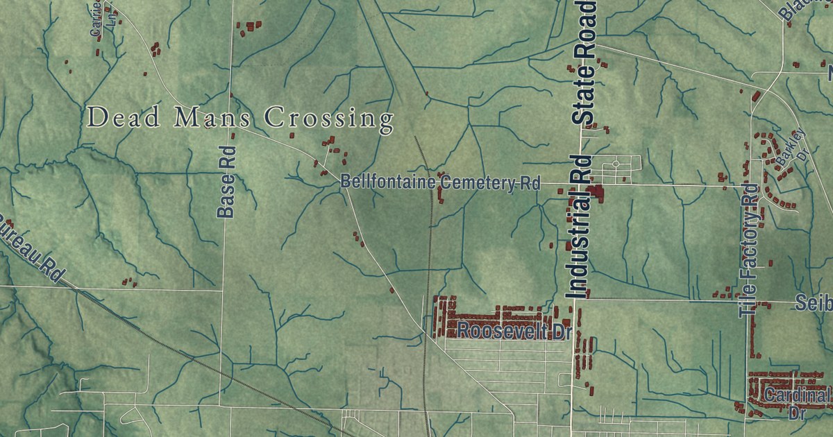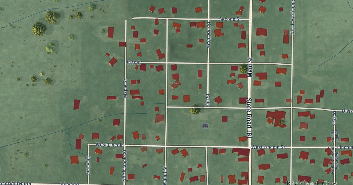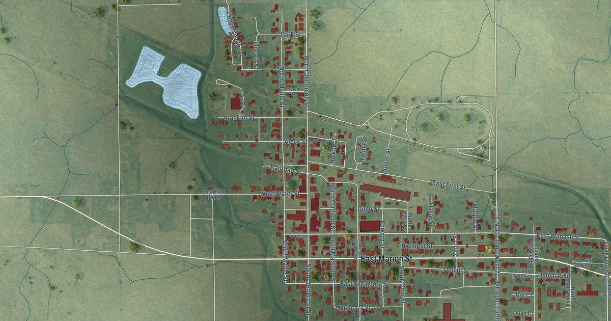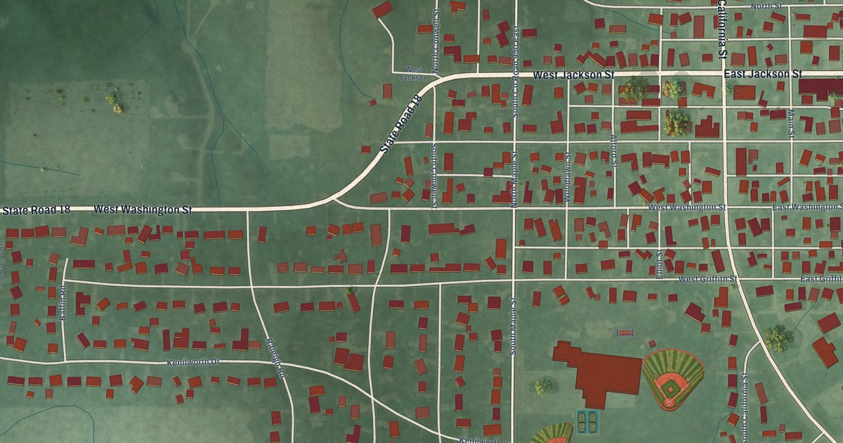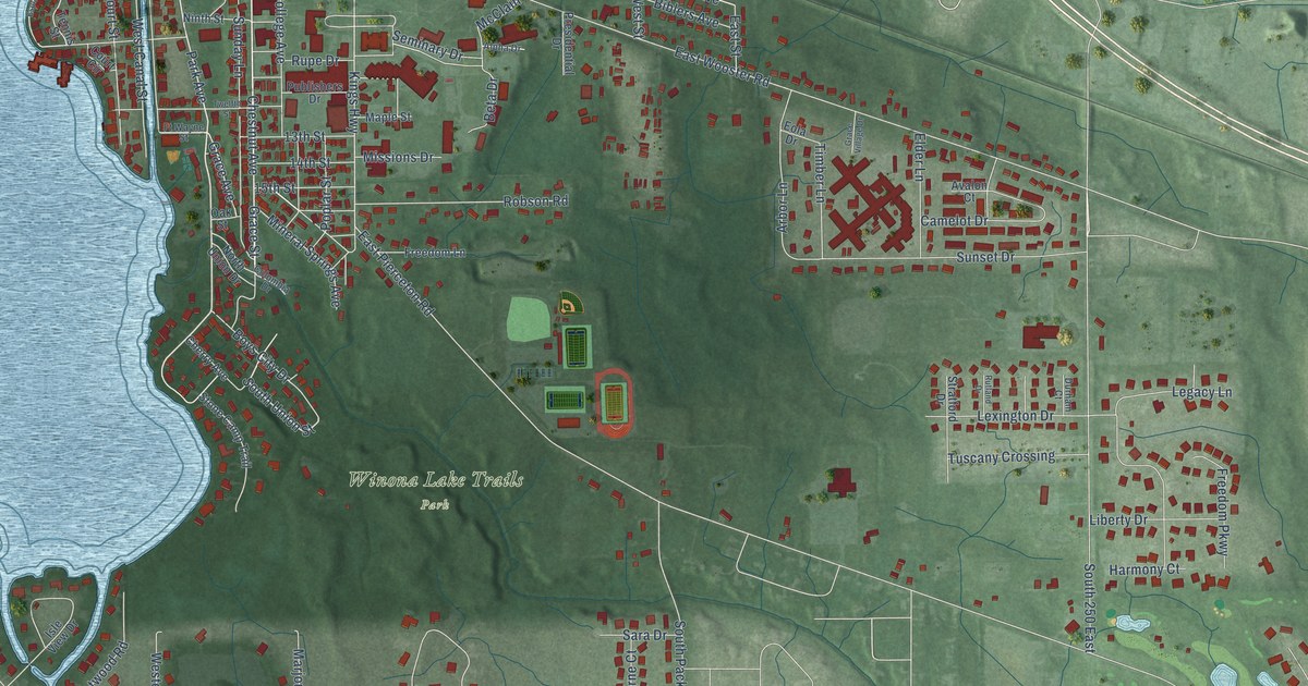
This beautifully detailed map of Winona Lake, Indiana was created in 2026 using aerial imagery combined with modern topographical, census, street and landmark data. It’s a one-of-a-kind view of Winona Lake that combines accurate data with a vintage aesthetic. The map shows every building in its true location, many of the roads carry their names, and the shaded topographic relief shows the shape of the land.
Explore an aerial view of Winona Lake, Indiana
On the map you’ll find Winona Lake Trails Park and South 250 East, along with Chestnut Avenue, Grace Avenue, Grace Street, Oakhill Drive, Park Avenue, South Union Street, Marilyn Avenue, Kings Highway, East Pierceton Road, East Wooster Road, and more. If you look closely you can even find your house accurately drawn in its correct location. Zoom in on the preview to look for yours.
Did you know this about Winona Lake, Indiana?
From the Winona History Center at Grace College: "In the early 1900s, many famous people performed in Winona Lake. These included Indiana poet James Whitcomb Riley, politician William Jennings Bryan, and speaker Helen Keller."
Take a closer look at the Winona Lake map
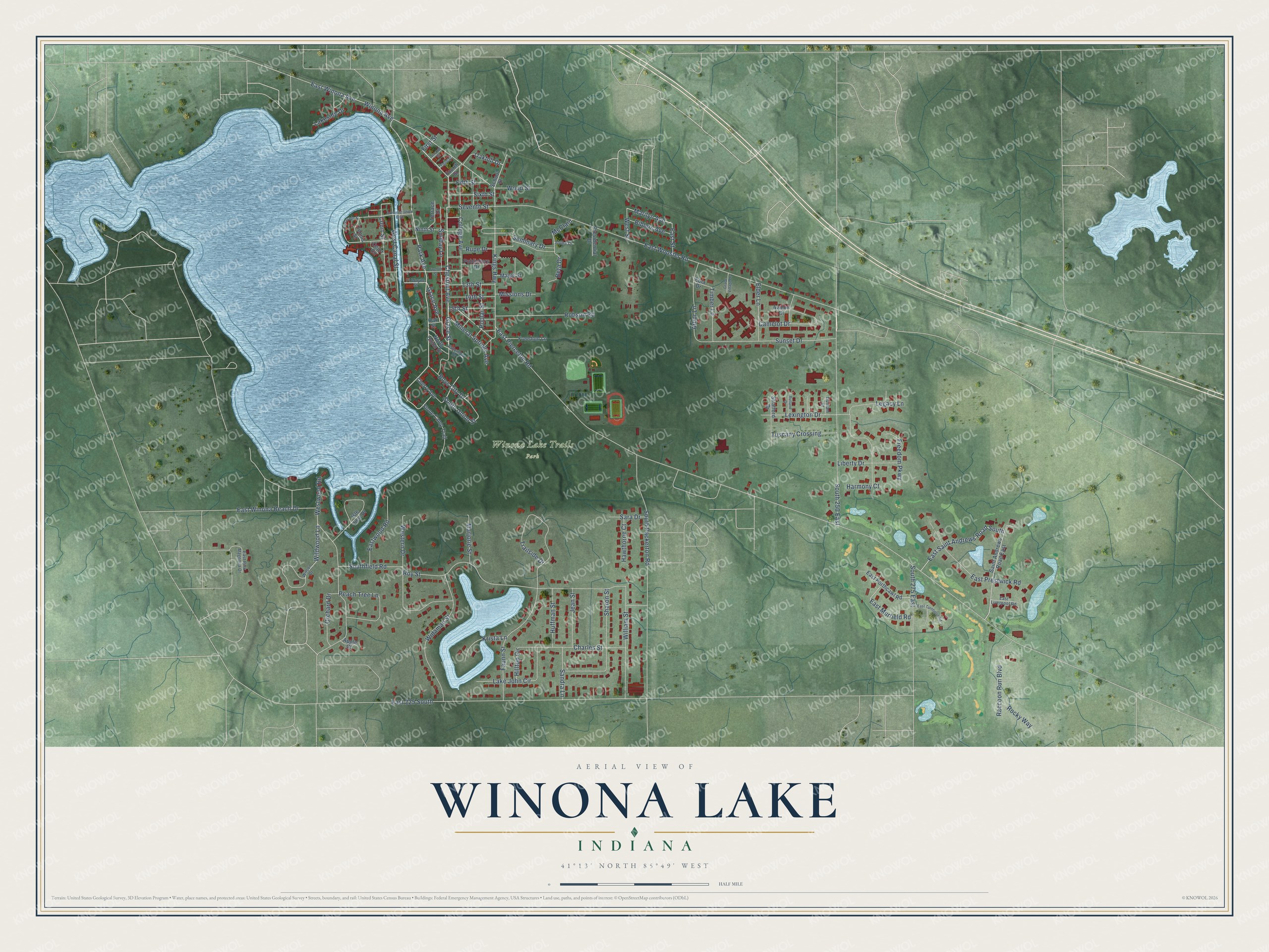
Street and place names on the Winona Lake, Indiana map
These names are printed on the map of Winona Lake, Indiana.
Places: Winona Lake Trails Park.
Streets and roads: Chestnut Avenue, Grace Avenue, Grace Street, Oakhill Drive, Park Avenue, South 250 East, South Union Street, Marilyn Avenue, Kings Highway, East Pierceton Road, East Wooster Road, East 225 South.
More street names, A to Z
13th Street, 14th Street, 15th Street, Administration Boulevard, Alpha Drive, Apple Court, Arbor Lane, Avalon Court, Beta Drive, Biblers Avenue, Boys City Drive, Camelot Drive, Charles Street, Cherry Avenue, College Avenue, Columbia Drive, Court Circle, Court Street, Durham Court, East Liverpool Road, East Murfield Road, East Pink Magnolia Drive, East Porthcawl Road, East Prestwick Road, East Saint Andrews Road South, East Street, East Turnberry Road, East Winona Avenue, East Winona Beach Drive, Eastwood Road, Elder Lane, Eola Drive, Esplanade Street, Faunn Street, Fifth Street, First Street, Fourth Street, Freedom Lane, Freedom Parkway, Ft Wayne Street, Grace Village Drive, Harmony Court, Hawthorne Court, Hilltop Circle, Huffman Street, Isle View Drive, Jean Street, Krista Lane, Lake John Circle, Lakeside Drive, Legacy Lane, Lexington Drive, Liberty Drive, Maple Street, Marjorie Street, McClain, Mineral Springs Avenue, Missions Drive, Ninth Street, North Union Drive, Oak Street, Orchard Drive, Peach Tree Lane, Poplar Street, Presidential Drive, Publishers Drive, Raccoon Run Boulevard, Robson Road, Rocky Way, Roy Street, Rupe Drive, Rutland Drive, Saint Andrews Road East, Sandra Lane, Sara Drive, School Street, Second Street, Seminary Drive, Seventh Street, Sharon Street, Sixth Street, South 275 East, Southfield Road, South Packerton Road, Stone Camp Trail, Stratford Drive, Sunday Lane, Sunset Drive, Tennis Street, Terrace Drive, Third Street, Timber Lane, Trailside Drive, Tuscany Crossing, Twelfth Street, West Canal Street, Western Drive, West Street, Westwood Road, Widaman Street, Wildwood Lane, William Street, Wilson Drive, Winona Avenue, Wood Street.
See the Winona Lake, Indiana map on a wall
The Winona Lake map as an 18 x 24 inch print in a black frame.

This beautifully detailed map of Winona Lake makes an attractive addition to your office, library, or den, and it can even be used to teach children the geography and history of the area. It also makes a great gift for anyone who grew up in Winona Lake or moved away. When you’re done exploring, click here to get your copy of the Winona Lake map.