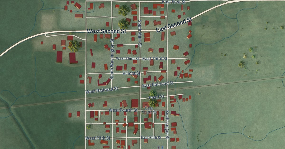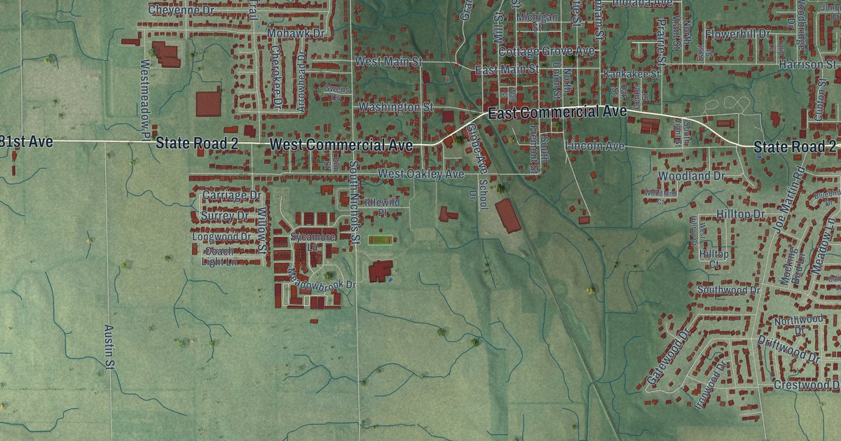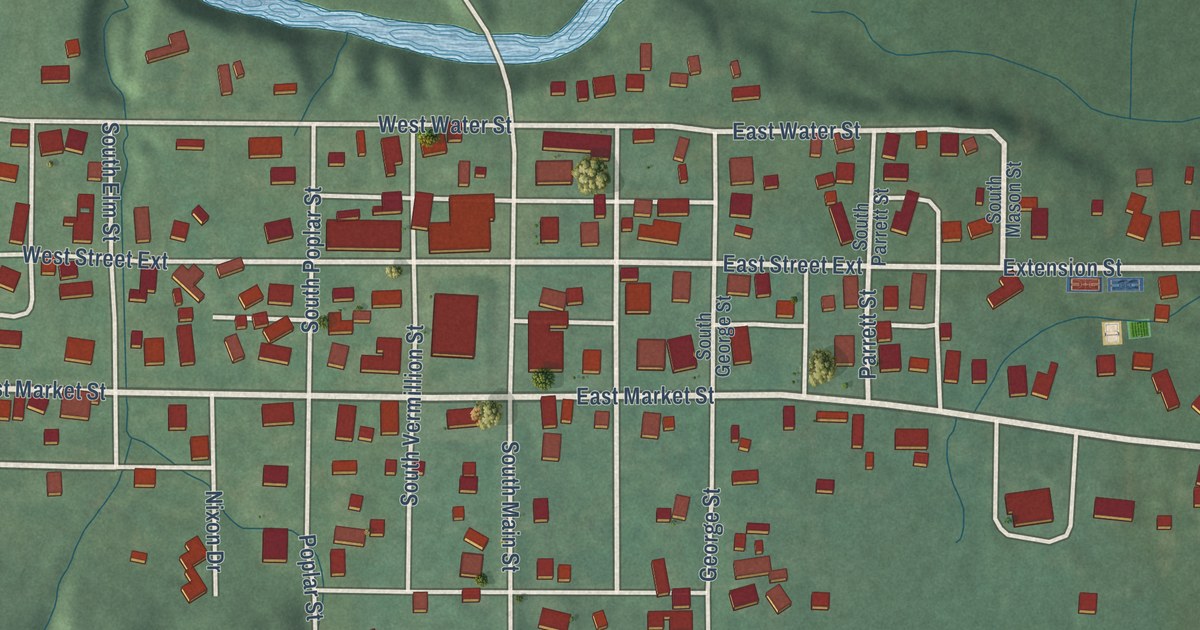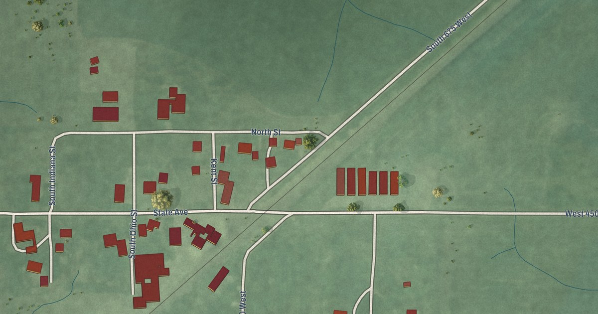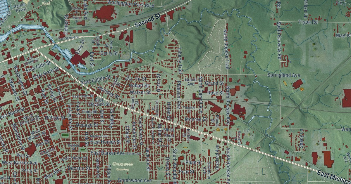
This beautifully detailed map of Michigan City, Indiana was created in 2026 using aerial imagery combined with modern topographical, census, street and landmark data. It’s a one-of-a-kind view of Michigan City that combines accurate data with a vintage aesthetic. The map shows every building in its true location, many of the roads carry their names, and the shaded topographic relief shows the shape of the land.
Explore an aerial view of Michigan City, Indiana
On the map you’ll find Davis, Greenwood Cemetery, Motts Park, Ruby Woods, Washington Park, Merrick, and Orchard Highlands, along with East Michigan Boulevard, Franklin Street, State Road 212, West Fourth Street, Second Street, and more. If you look closely you can even find your house accurately drawn in its correct location. Zoom in on the preview to look for yours.
Did you know this piece of Michigan City, Indiana history?
From the 1904 Twentieth Century History of LaPorte County, Indiana: "The first school house in Michigan City, built in 1834, was used for worship."
Take a closer look at the Michigan City map
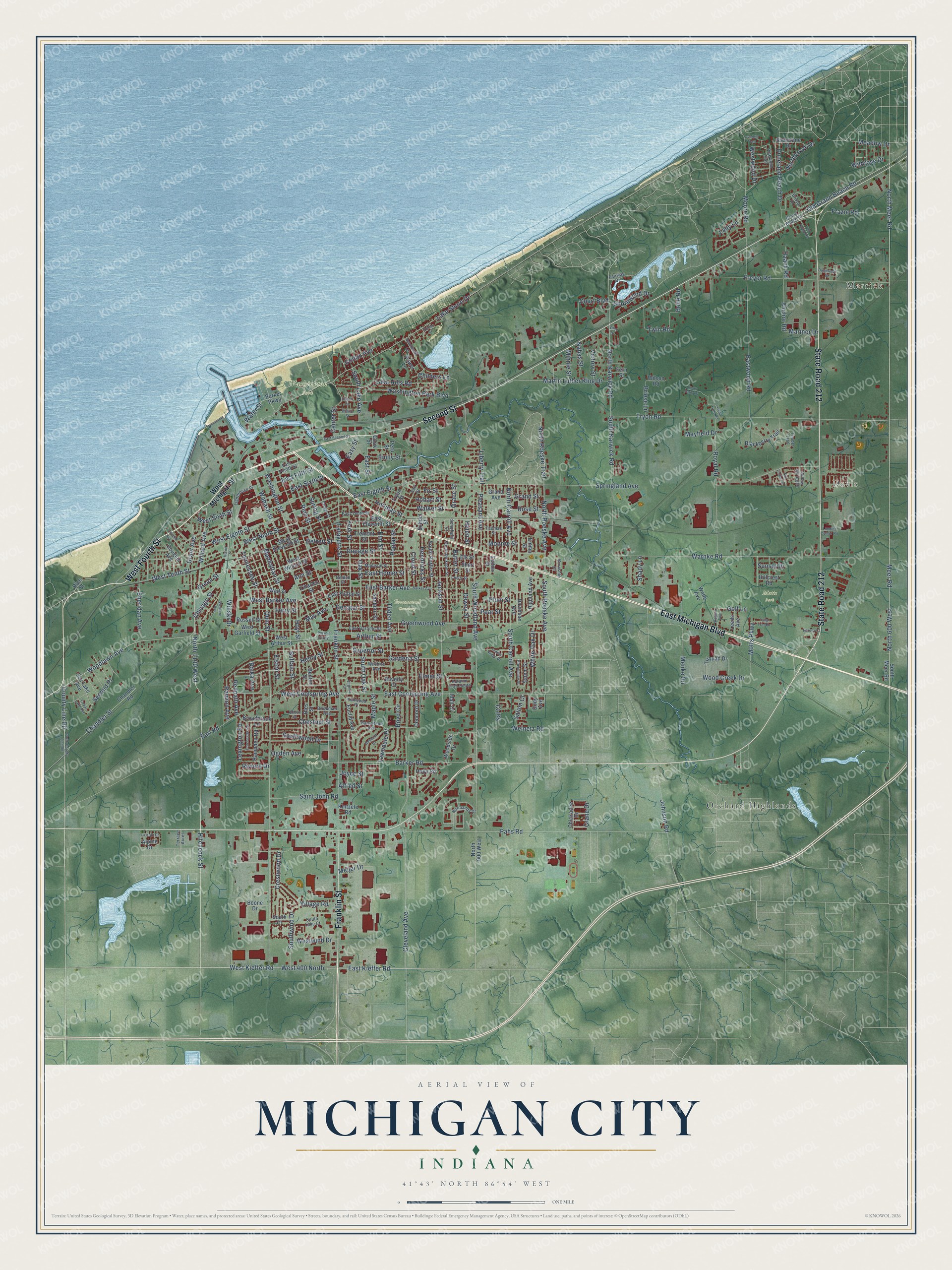
Street and place names on the Michigan City, Indiana map
These names are printed on the map of Michigan City, Indiana.
Places: Davis, Greenwood Cemetery, Motts Park, Ruby Woods, Washington Park, Merrick and Orchard Highlands.
Streets and roads: East Michigan Boulevard, Franklin Street, State Road 212, West Fourth Street, Second Street, Meer Road, Hitchcock Street, North 1100 West, West 400 North, West Kieffer Road, Willard Avenue, North Carroll Avenue.
More street names, A to Z
Alfred Street, Alpine Drive, Anchor Road, Ann Street, Arthur Street, Autumn Trail South, Barker Avenue, Barker Road, Beachwalk Lane, Beech Street, Belden Street, Belle Road, Belmont Court, Benton Street, Beverly Court, Bies Street, Blackberry Trail, Blaine Street, Bolka Avenue, Boone Drive, Boyd Circle, Briese Lane, Brinkman Avenue, Bristol Drive, Broadbrook Lane, Buffalo Street, Burnside Court, Butler Street, Cedar Lake Avenue, Cedar Street, Center Street, Chandler Road, Chandler Street, Charles Street, Cherry Street, Chestnut Street, Chicago Street, Chickadee Drive, Childers Lane, Cleveland Avenue, Cloud Street, Colfax Avenue, Concord Drive, Cook Street, County Line Road, Court Boulevard, Crane Drive, Crestwood Drive, Davidson Avenue, Decatur Street, Detroit Street, Dewey Street, Dody Avenue, Dorchester Road, Douglas Avenue, Duneland Beach Drive, Dunewood Drive, Dupage Street, Earl Road, East Barker Avenue, East Coolspring Avenue, East Eighth Street, East Eleventh Street, East Fifth Street, East Fourth Street, East Fulton Street, East Garfield Street, East Homer Street, East Kieffer Road, East Second Street, East Sixth Street, East Street, East Tenth Street, Eastwood Road, Easy Street, Elk Street, Elmer Street, Elm Street, Elston Street, Emily Street, Emma Street, Esther Street, Euclid Avenue, Fairway Drive, Felton Street, Fern Street, Ferry Street, Fir Street, Fox Lake Avenue, Frazie Road, Freyer Road, Gardena Street, Garrettson Avenue, Glen Drive, Golf Lane, Grace Street, Grand Avenue, Grand Beach Drive, Grand Street, Grant Avenue, Green Street, Greenwood Avenue, Haack Road, Hampden Road, Harvey Court, Helen Street, Hendricks Street, Henry Street, Highland Avenue, Hillcrest Road, Hobart Street, Holliday Street, Holly Road, Hoyt Street, Huron Street, Indian Ridge Drive, Jackson Street, Johnson Road, Joyce Street, Kenwood Place, Kintzele Road, Lady Lane, Lafayette Street, Lake Hills Road, Lake Shore Drive, Lawndale Place, Leeds Avenue, Lexington Road, Liberty Trail, Lighthouse Place, Lincoln Avenue, Lincoln Drive, Lumber Center Road, Madison Street, Mall Court, Manhattan Street, Maple Street, Mariner Drive, Martin Luther King Drive, May Avenue, Mayfield Drive, Meadow Drive, Meijer Drive, Menke Road, Minnie Street, Monroe Street, Moore Road, Motts Parkway, Nahas Street, Normandy Drive, North 600 West, North 900 West, Northbrook Drive, North County Line Road, North Karwick Road, North Meer Road, North Roeske Avenue, North Roeske Trail, Oak Street, Ogden Avenue, Ohio Street, Old Grand Beach Road, Overhill Trail, Pahs Road, Parker Parkway, Pear Street, Peru Street, Pine Street, Pinewood Trail, Pleasant Avenue, Plum Street, Poplar Street, Power Lane, Providence Street, Pytynia Parkway, Ramion Avenue, Redpath Avenue, Rice Street, Riviera Drive, Rogers Avenue, Rose Street, Royal Road, Russell Street, Saint John Road, Sal Court, Salem Court, Salem Street, Sanborn Street, Schofield Court, School Street, Second Place, Shady Lane, Sheridan Avenue, Shorelane Drive, Shorewood Drive, Short Street, South Carroll Avenue, South Court, South Dickson Street, South Karwick Road, South Lake Avenue, South Lake Court, South Meer Road, South Oak Street, South Porter Street, South Roeske Avenue, Southwind Drive, Southwood Drive, South Woodland Avenue, Springland Avenue, Spring Street, Sunset Drive, Superior Street, Tall Timber Drive, Tennessee Street, Terrace Acres, Thomas Street, Tilden Avenue, Timber Trail, Top Flight Road, Tremont Street, Triquad Drive, Tryon Farm Lane, Tryon Farm Road, Tryon Road, Tryon Street, Tulip Tree Drive, Turner Court, Twin Road, Vail Street, Victory Street, Village Road, Virginia Court, Wabash Street, Walker Street, Wall Street, Warnke Road, Washington Park Boulevard, Washington Street, Water Street, Welnetz Road, West Arthur Street, West Barker Avenue, West Coolspring Avenue, West Eighth Street, West Eleventh Street, Western Avenue, West Garfield Street, West Michigan Street, West Ninth Street, West Sixth Street, West Tenth Street, West William Street, Westwind Drive, Westwood Drive, White Oak Drive, Wildrose Drive, Willow Spring Drive, Wilshire Avenue, Wilson Road, Winski Drive, Wolfe Avenue, Wood Creek Drive, Woodlawn Avenue, Woodside Drive, York Street.
See the Michigan City, Indiana map on a wall
The Michigan City map as an 18 x 24 inch print in a black frame.

This beautifully detailed map of Michigan City makes an attractive addition to your office, library, or den, and it can even be used to teach children the geography and history of the area. It also makes a great gift for anyone who grew up in Michigan City or moved away. When you’re done exploring, click here to get your copy of the Michigan City map.