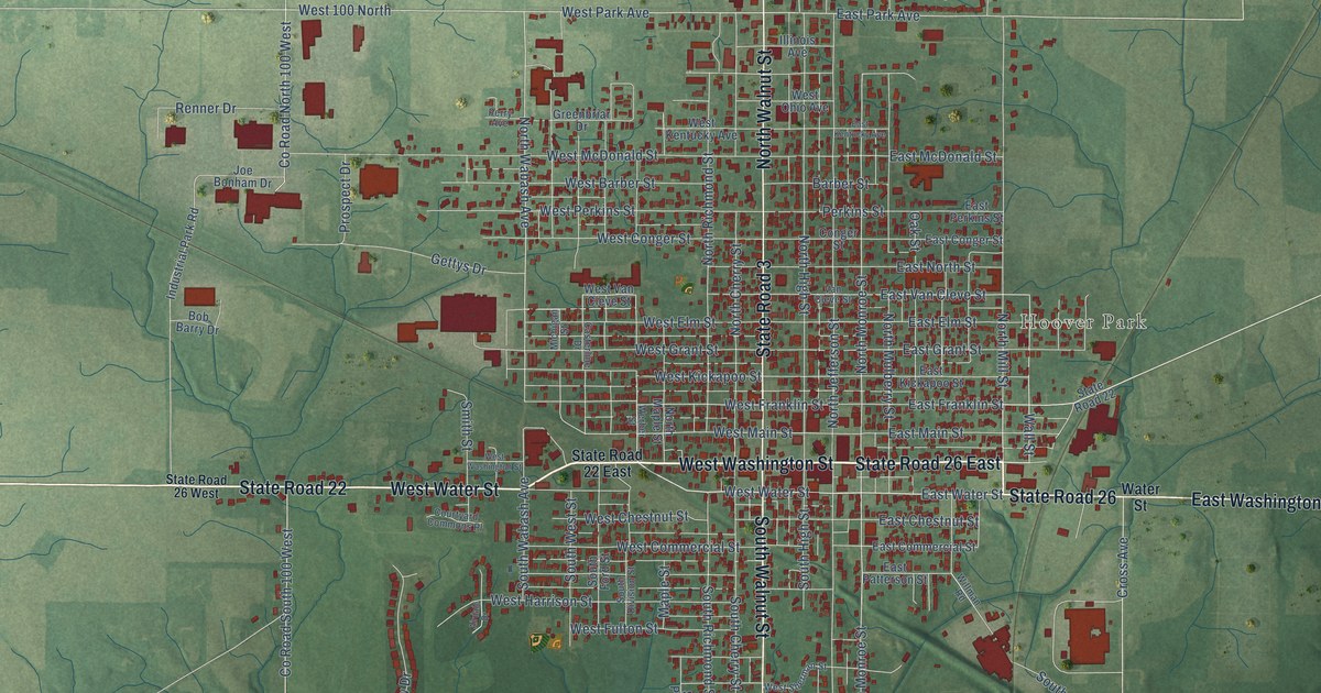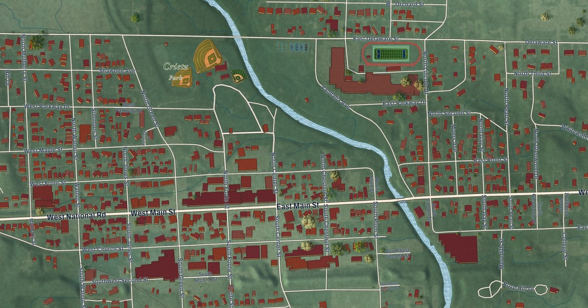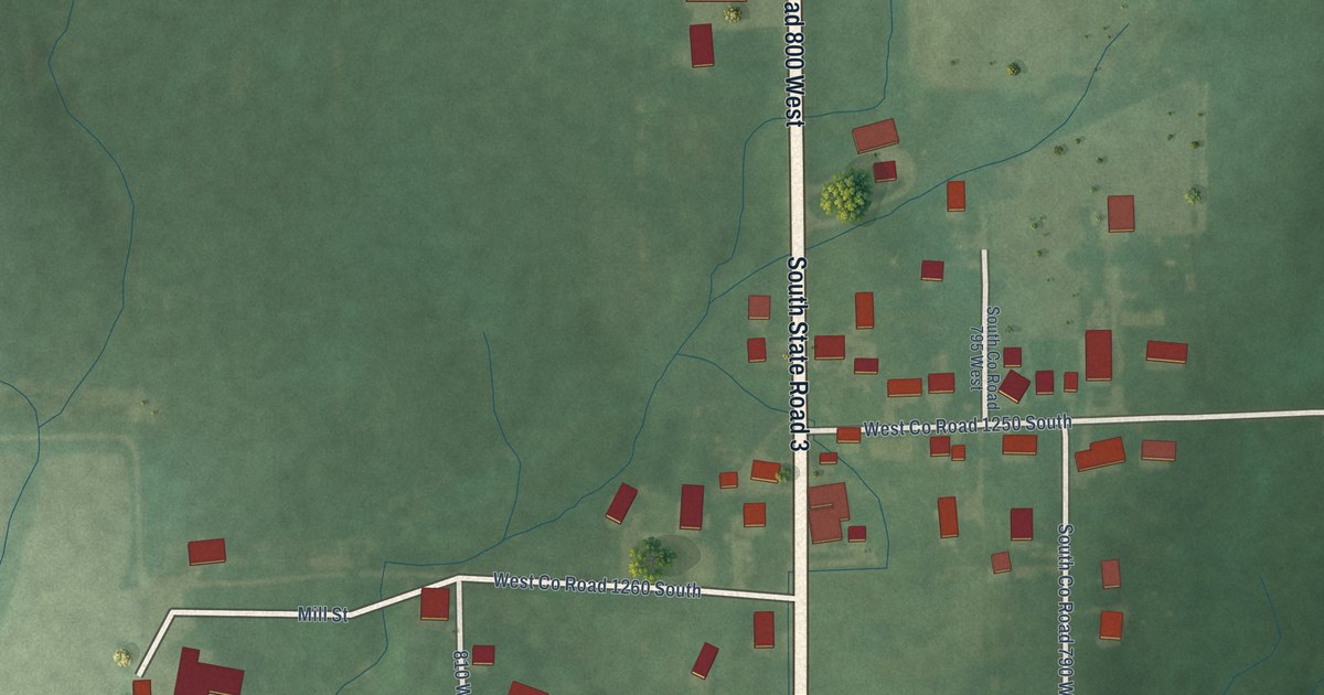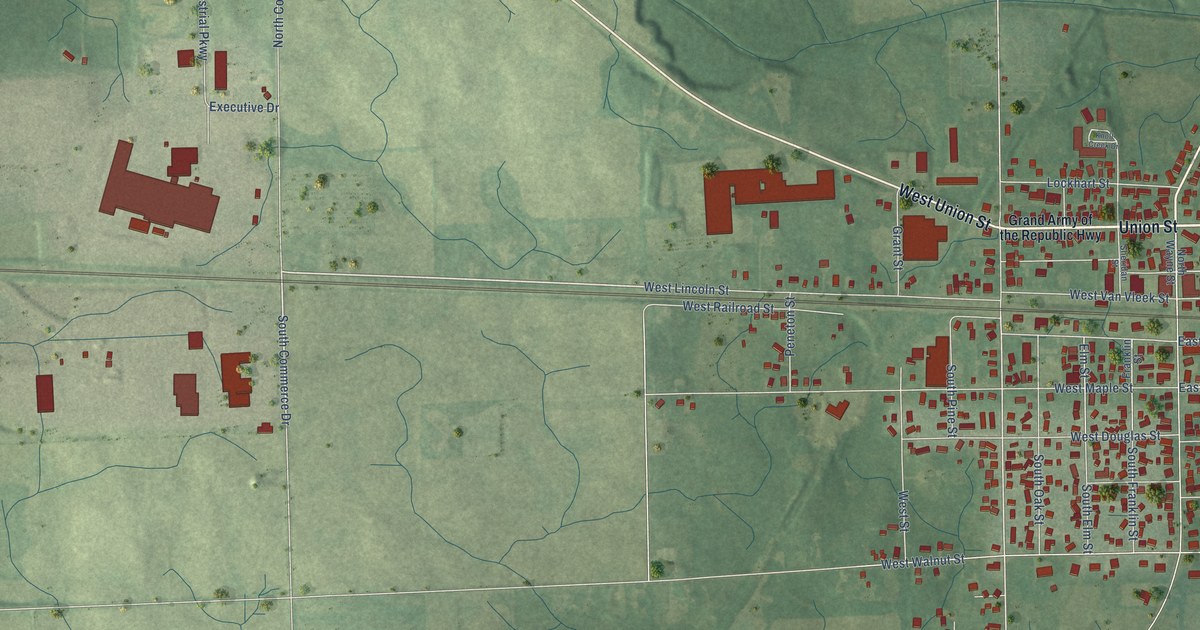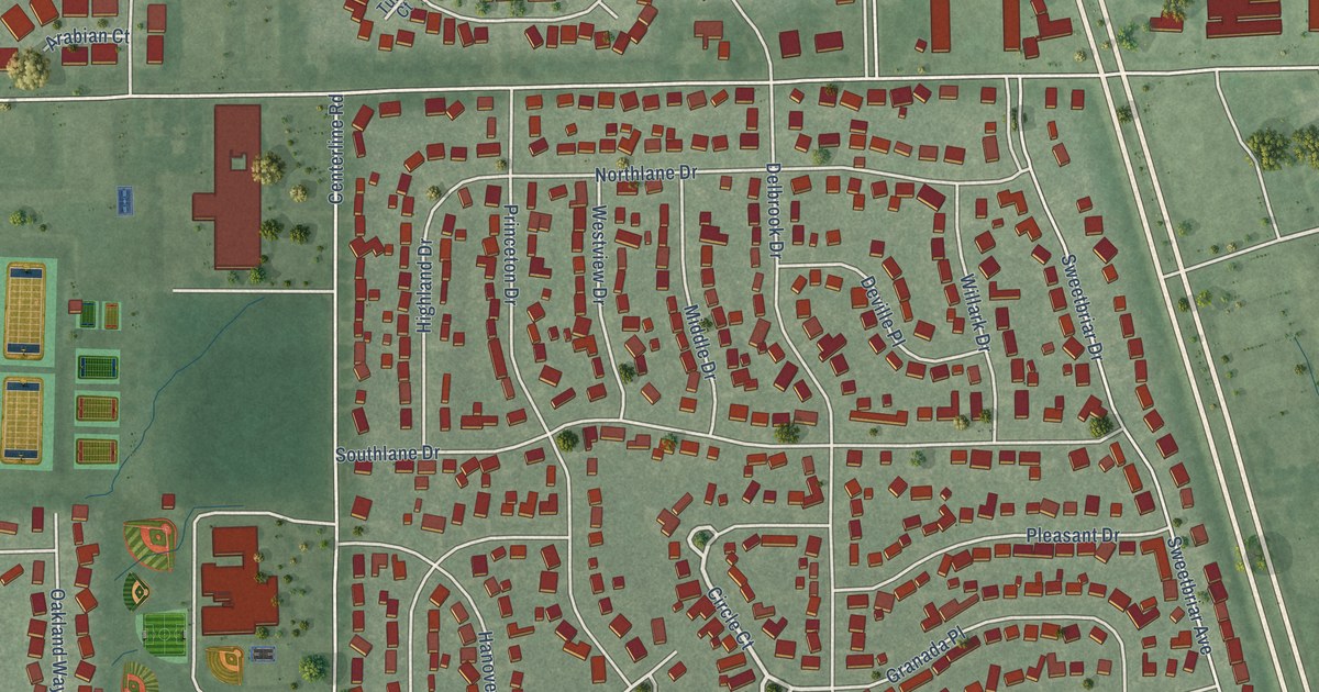
This beautifully detailed map of New Whiteland, Indiana was created in 2026 using aerial imagery combined with modern topographical, census, street and landmark data. It’s a one-of-a-kind view of New Whiteland that combines accurate data with a vintage aesthetic. The map shows every building in its true location, many of the roads carry their names, and the shaded topographic relief shows the shape of the land.
Explore an aerial view of New Whiteland, Indiana
On the map you’ll find New Whiteland City Hall, Proctor Park, and West Park, along with Country Gate Drive, Hilltop Farms Boulevard, Crestwood Drive, Circle Court, Whiteland Road, Tracy Street, Mooreland Drive, Bittersweet Drive, Tracy Road, and more. If you look closely you can even find your house accurately drawn in its correct location. Zoom in on the preview to look for yours.
Did you know this about New Whiteland, Indiana?
From the Town of New Whiteland: "The re-routing of US 31 distinguished New Whiteland as one of two communities located on the new highway between Indianapolis and Seymour."
Take a closer look at the New Whiteland map
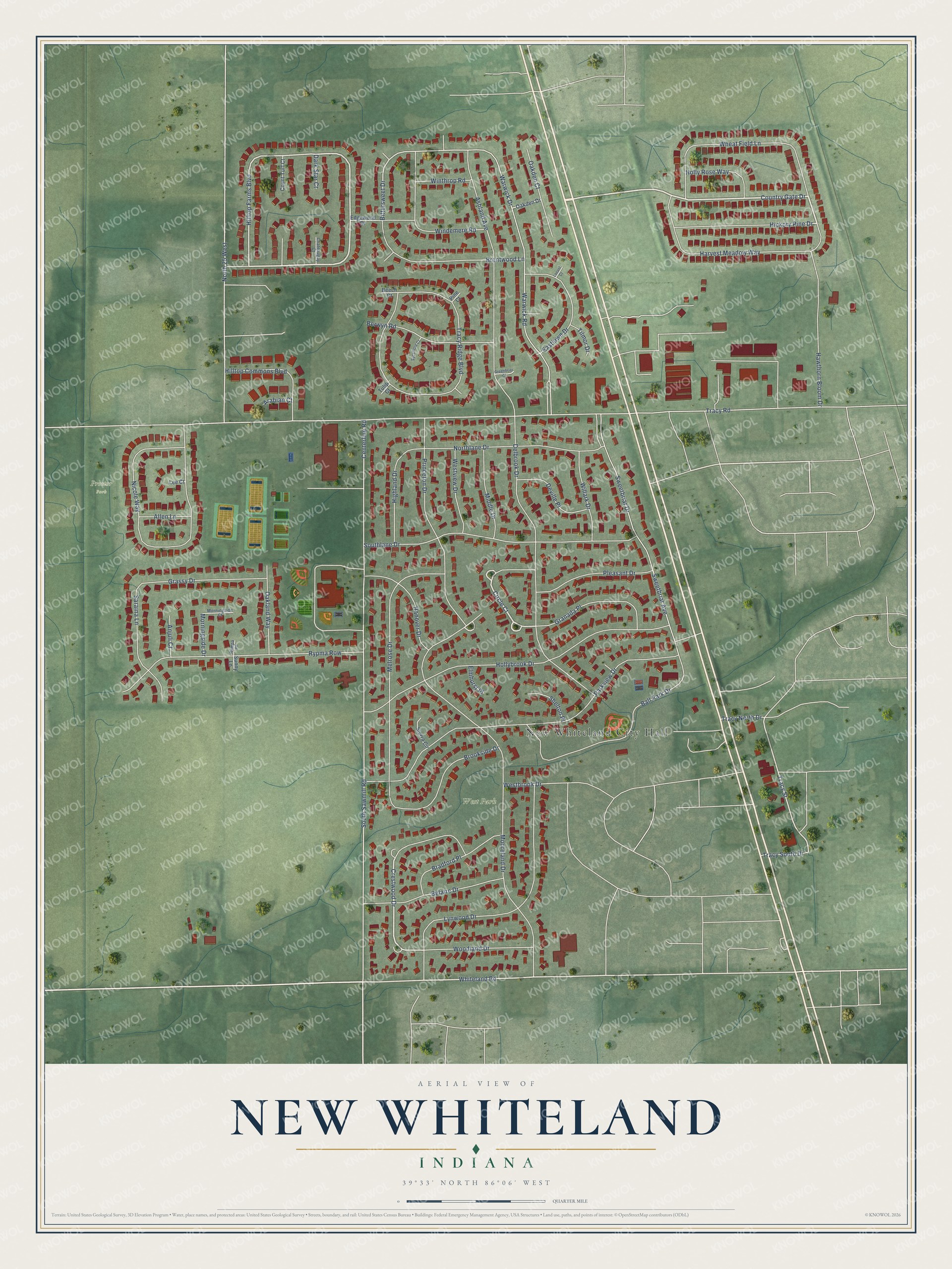
Street and place names on the New Whiteland, Indiana map
These names are printed on the map of New Whiteland, Indiana.
Places: New Whiteland City Hall, Proctor Park and West Park.
Streets and roads: Country Gate Drive, Hilltop Farms Boulevard, Crestwood Drive, Circle Court, Whiteland Road, Tracy Street, Mooreland Drive, Bittersweet Drive, Tracy Road, Centerline Road, South Sawmill Road, Parkview Drive.
More street names, A to Z
Allen Lane, Anjuli Court, Arabian Court, Ashland Avenue, Ball Park Drive, Beech Court, Belaire Drive, Berwyn Road, Bradford Place, Brentwood Lane, Brookside Drive, Chateaugay Court, Count Turf Court, Dark Star Court, Delbrook Drive, Deville Place, Eastlawn Drive, Edgewood Drive, Elmhurst Place, Granada Place, Grassy Drive, Greenbriar Court, Hanover Drive, Harvest Meadow Way, Hawthorn Bloom Drive, Hickory Pine Drive, Highland Drive, Hilltop Commons Boulevard, Hollybrook Drive, Holly Rose Way, Lee Court, Locust Court, Lynwood Drive, Melrose Drive, Middle Drive, Morningside Court, Morningside Drive, Nicole Way, North 25 West, Northlane Drive, Oakden Court, Oakden Drive, Oakland Way, Pine Court, Pleasant Drive, Princeton Drive, Rympa Place, Rypma Row, Saraina Lane, Shelton Place, Sierra Circle, Southlane Drive, Sunny Lane, Sweetbriar Avenue, Sweetbriar Drive, Sycamore Court, Tilmor Drive, Tracy North Drive, Tracy Ridge Boulevard, Tracy South Drive, Tulip Court, Warwick Drive, Warwick Road, Westbrook Drive, Westview Drive, Wheat Field Lane, Willark Drive, Windemere Road, Winthrop Road, Woodland Drive.
See the New Whiteland, Indiana map on a wall
The New Whiteland map as an 18 x 24 inch print in a black frame.

This beautifully detailed map of New Whiteland makes an attractive addition to your office, library, or den, and it can even be used to teach children the geography and history of the area. It also makes a great gift for anyone who grew up in New Whiteland or moved away. When you’re done exploring, click here to get your copy of the New Whiteland map.