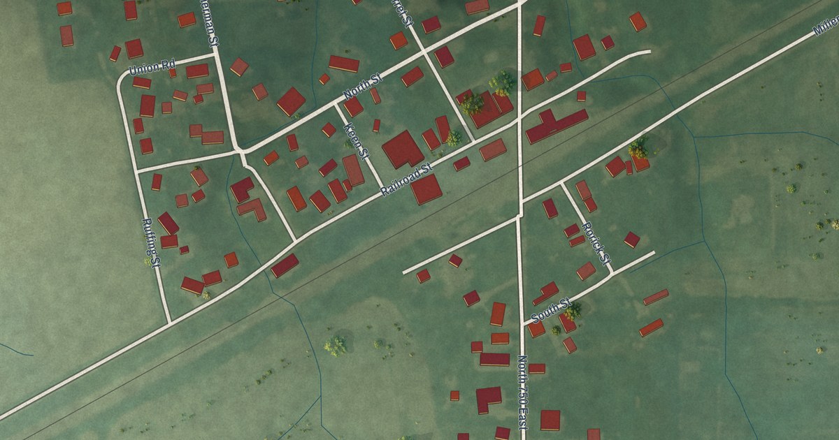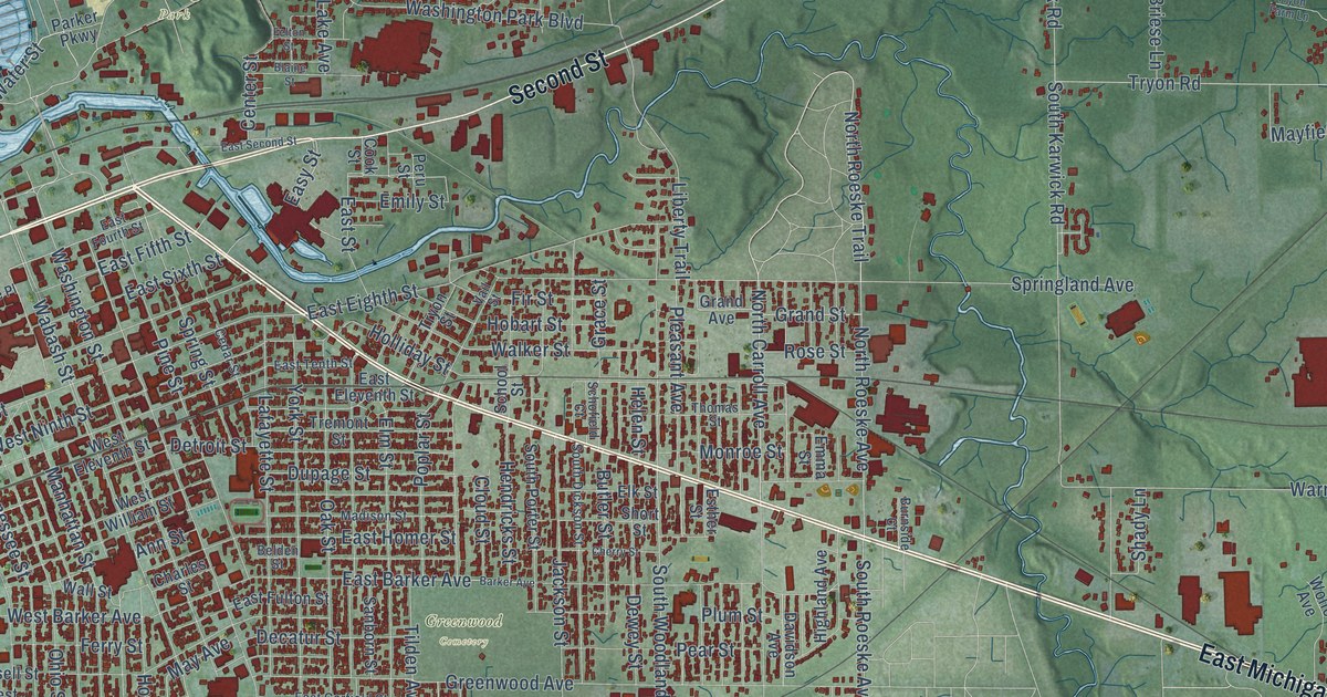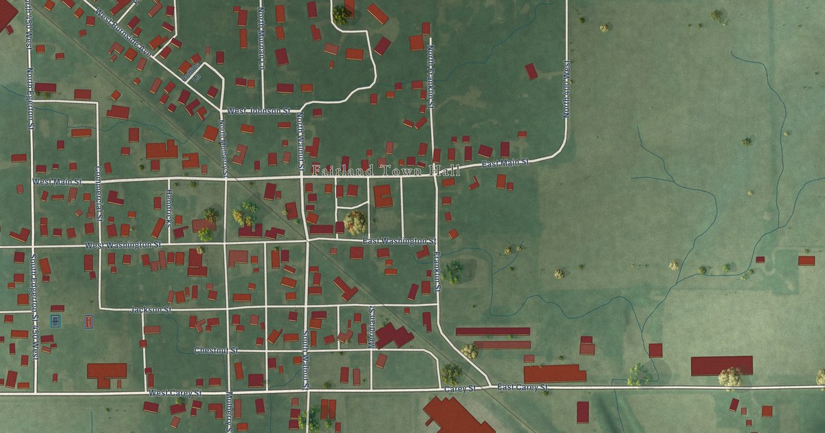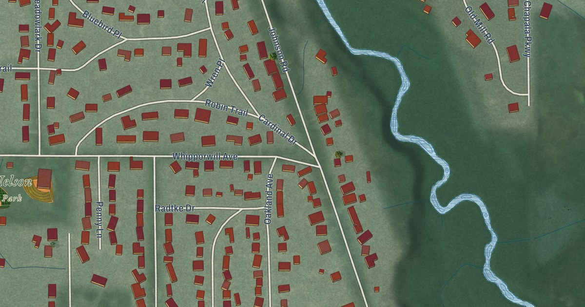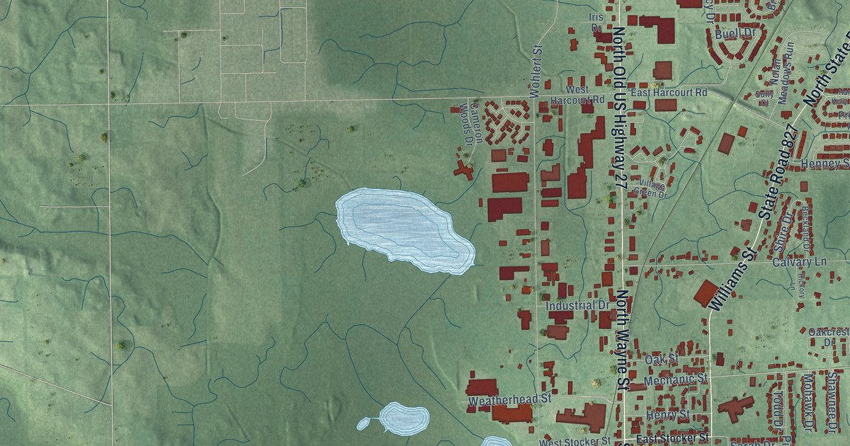
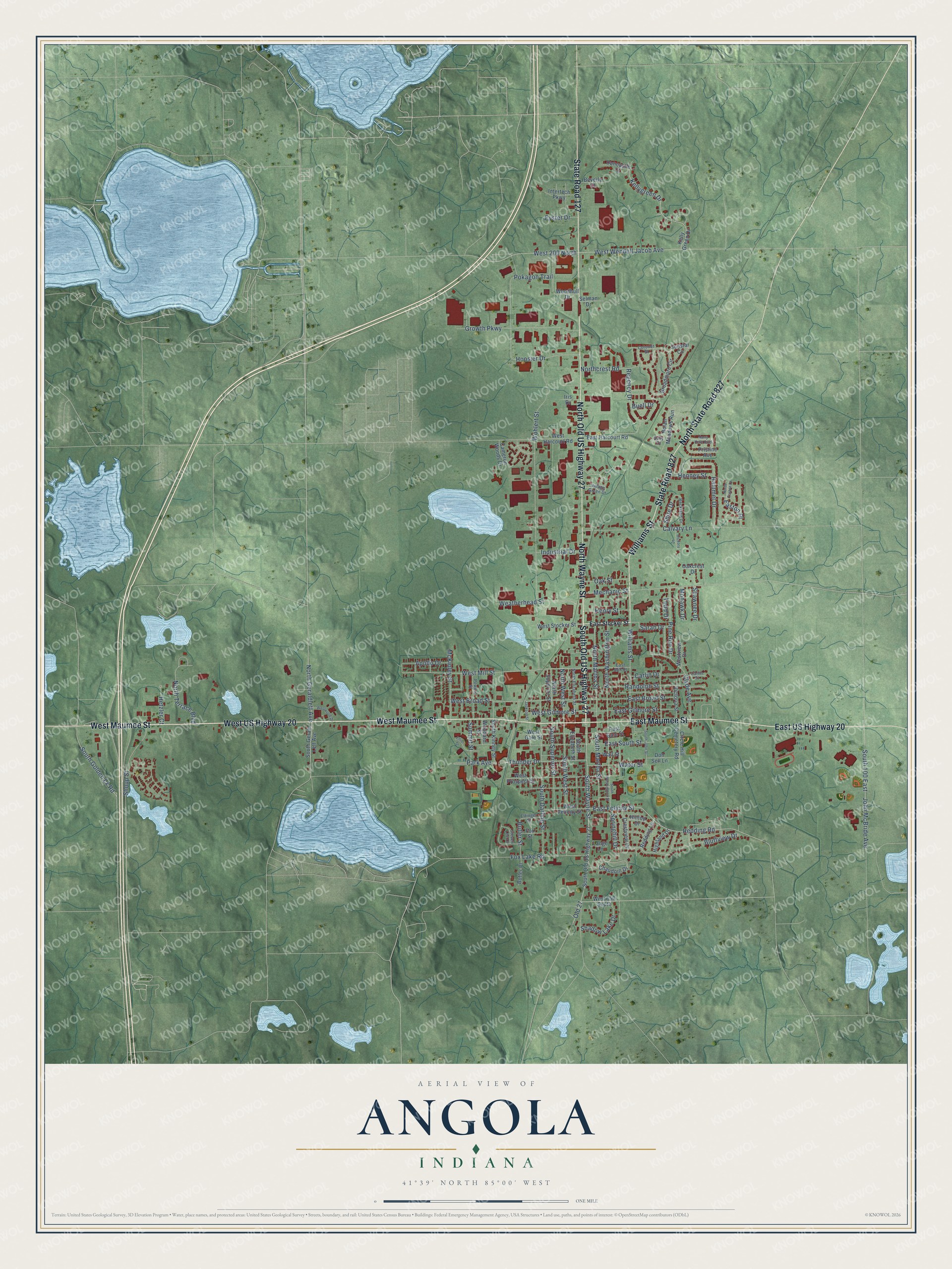
This beautifully detailed map of Angola, Indiana was created in 2026 using aerial imagery combined with modern topographical, census, street and landmark data. It’s a one-of-a-kind view of Angola that combines accurate data with a vintage aesthetic. The map shows every building in its true location, many of the roads carry their names, and the shaded topographic relief shows the shape of the land.
Explore an aerial view of Angola, Indiana
On the map you’ll find North State Road 827, along with South Old US Highway 27, West Maumee Street, West US Highway 20, East Maumee Street, State Road 127, North Wayne Street, North Old US Highway 27, State Road 827, East US Highway 20, Williams Street, South Wayne Street, and more. If you look closely you can even find your house accurately drawn in its correct location. Zoom in on the preview to look for yours.
Did you know this piece of Angola, Indiana history?
From the National Register of Historic Places: "Cameron established the first hospital in Angola, which continues to serve the area as the Cameron Memorial Community Hospital."
Take a closer look at the Angola map
Street names on the Angola, Indiana map
These names are printed on the map of Angola, Indiana.
Streets and roads: South Old US Highway 27, West Maumee Street, West US Highway 20, East Maumee Street, State Road 127, North Wayne Street, North Old US Highway 27, North State Road 827, State Road 827, East US Highway 20, Williams Street, South Wayne Street.
More street names, A to Z
Apollo Drive, Beckland Drive, Beverly Court, Bluffview Drive, Broadmore Circle, Buell Drive, Butler Place, Butler Street, Calvary Lane, Cameron Woods Drive, Carlin Drive, Carlin Place, Chaudoin Drive, Circle Hill Cemetery Road, Clyde Avenue, Coronet Street, Crestview Drive, Don Sell Lane, Duncastle Court, East Broad Street, East Felicity Street, East Gale Street, East Gilmore Street, East Harcourt Road, East Mill Street, Easton Place, East South Street, East Stocker Street, Elliot Drive, Ettinger Street, Eyster Drive, Fox Lake Road, Fox Street, Growth Parkway, Hammel Drive, Harry Kelly Boulevard, Henney Street, Henry Street, Hetzler Court, Hickory Lane, Highland Drive, Hilltop Drive, Hoosier Drive, Industrial Drive, Intertech Parkway, Iris Drive, Jackson Street, John McBride Avenue, Kellygreen Drive, Kelly Green Drive, Lange Lane, McKinley Street, Mechanic Street, Mohawk Drive, Nolan Meadows Run, Northcrest Road, North Easton Drive, North Elizabeth Street, North Geraldlett Avenue, North Martha Street, North Superior Street, North Terrace Boulevard, North Washington Street, North West Street, Oakcrest Drive, Oak Street, Old 27, Park Avenue, Pine Run Drive, Pokagon Trail, Powers Street, Pristine Avenue, Randolph Street, Redding Lane, Redding Road, Regency Drive, Sarah Drive, Selman Drive, Shadow Lake Drive, Shawnee Drive, Shire Drive, Shoup Street, South 100 East, South Darling Street, South Elizabeth Street, South Gerald Lett Avenue, South Golden Lk Road, South John Street, South Kinney Street, South Martha Street, South Superior Street, South Washington Street, South West Street, Springhill Drive, Steven Lee Drive, Sully Court, Summit Street, Sunstar Circle, Thunder Drive, Todd Drive, Victoria Street, Village Green Drive, Wall Street, Water Street, Weatherhead Street, West 150 South, West 200 North, West Broad Street, West Felicity Street, West Gale Street, West Gilmore Street, West Harcourt Road, West Mill Street, West Prospect Street, West Stocker Street, Westview Drive, West Wendell Jacob Avenue, Westwood Drive, Wohlert Street, Woodard Street, Woodhull Drive.
See the Angola, Indiana map on a wall
The Angola map as an 18 x 24 inch print in a black frame.

This beautifully detailed map of Angola makes an attractive addition to your office, library, or den, and it can even be used to teach children the geography and history of the area. It also makes a great gift for someone who left Angola and still calls it home. When you’re done exploring, click here to get your copy of the Angola map.