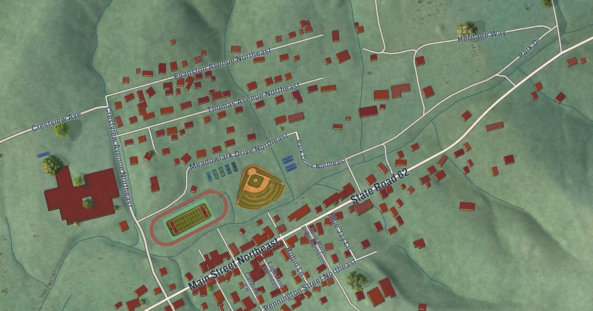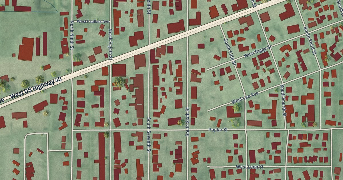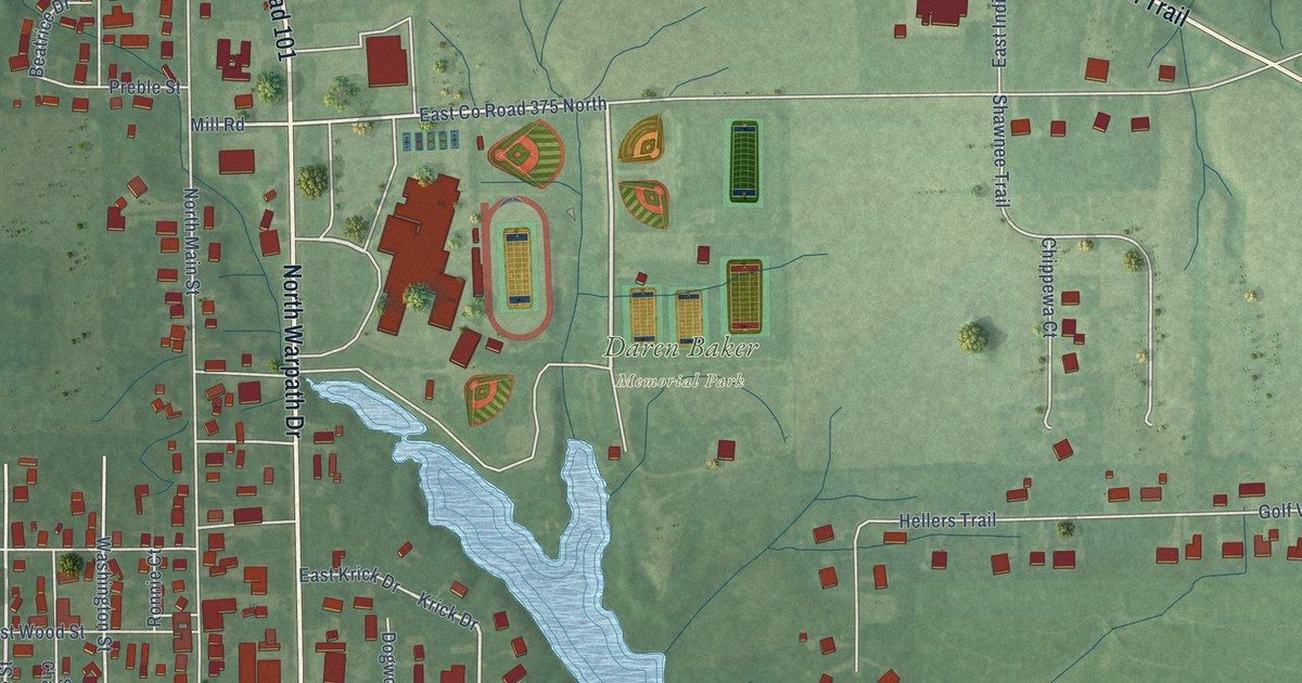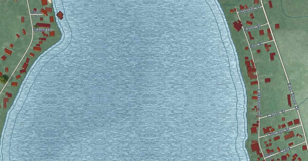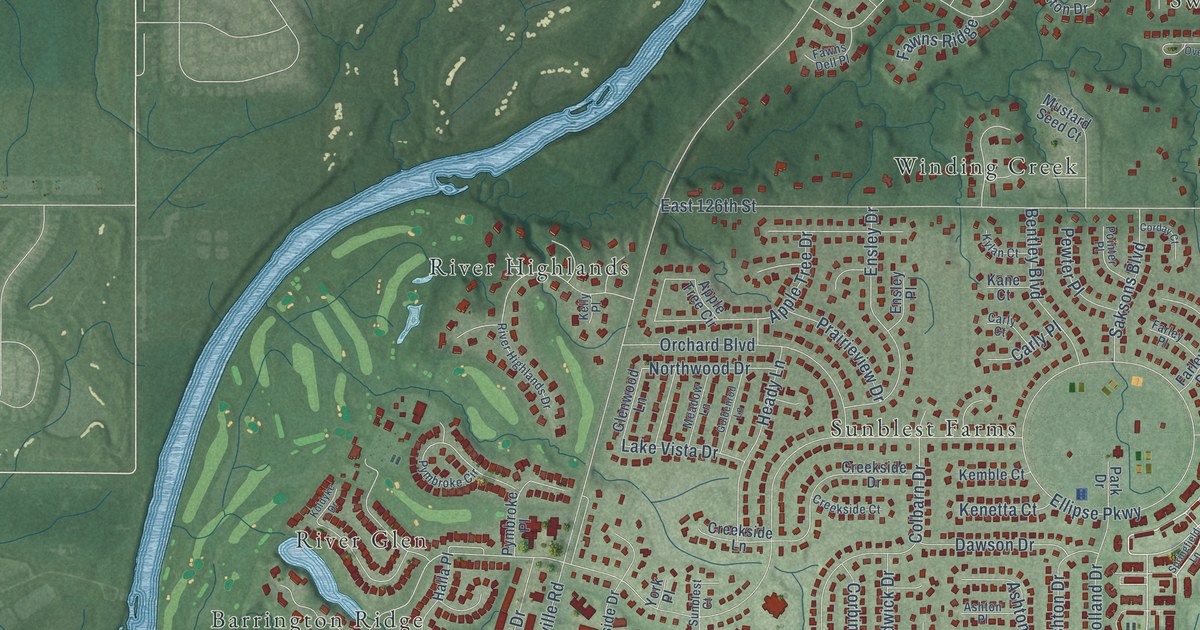
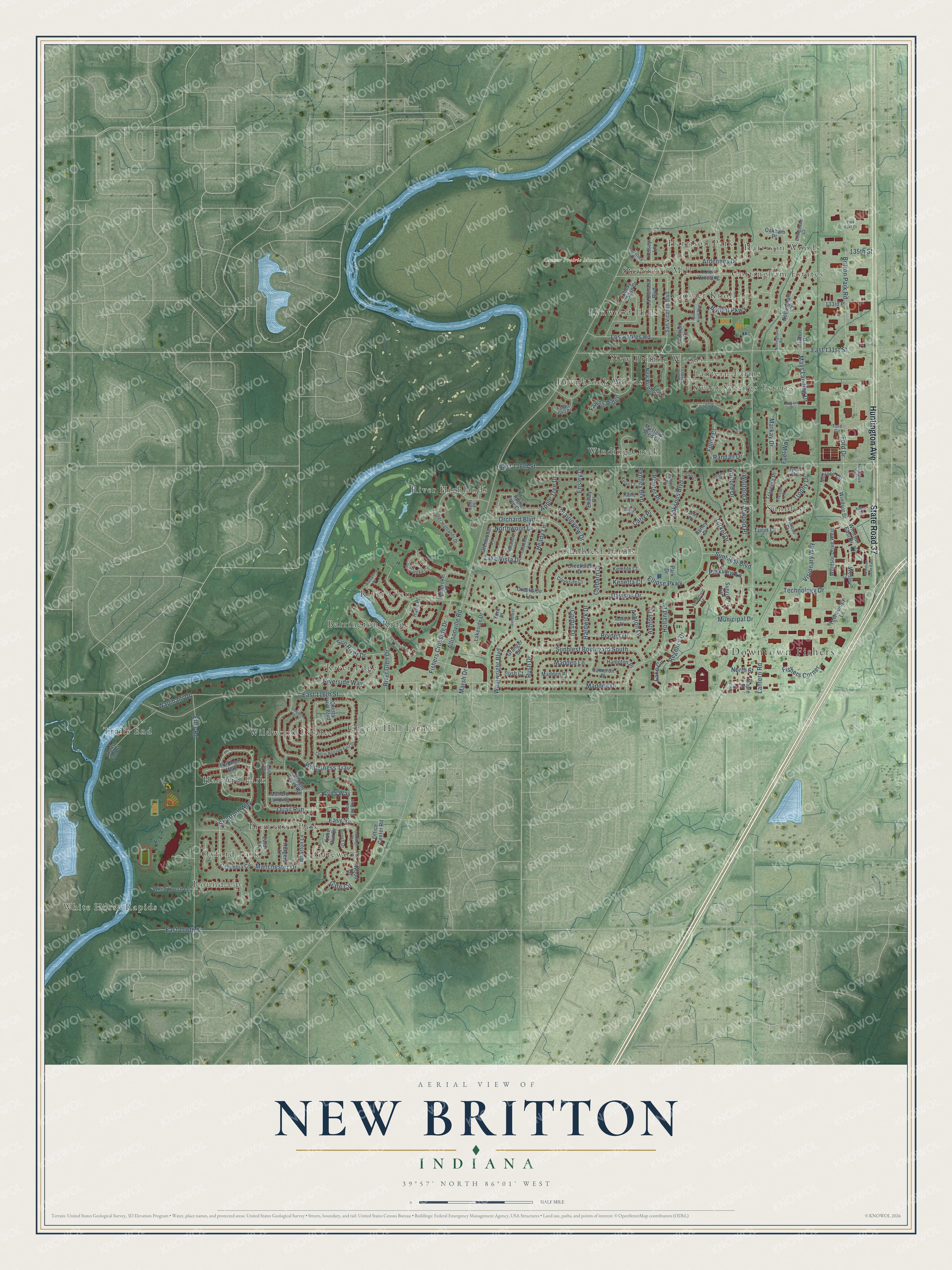
This beautifully detailed map of New Britton, Indiana was created in 2026 using aerial imagery combined with modern topographical, census, street and landmark data. It’s a one-of-a-kind view of New Britton that combines accurate data with a vintage aesthetic. The map shows every building in its true location, many of the roads carry their names, and the shaded topographic relief shows the shape of the land.
Explore an aerial view of New Britton, Indiana
On the map you’ll find Downtown Fishers, White Horse Rapids, Conner Prairie Museum, River Edge, Sunblest, River Highlands, Gatewood, Cottingham Estates, Trails End, Fawnbrook Woods, Wildwood Estates, River Glen, and more. If you look closely you can even find your house accurately drawn in its correct location. Zoom in on the preview to look for yours.
Take a closer look at the New Britton map
Names on this map
These names are printed on this map.
Places: Downtown Fishers, White Horse Rapids, Conner Prairie Museum, River Edge, Sunblest, River Highlands, Gatewood, Cottingham Estates, Trails End, Fawnbrook Woods, Wildwood Estates, River Glen, Lantern Farms, Sunblest Farms, Oxford Park, Conner Knoll, Winding Creek, Harvard Park, New Britton Woods, Harrison Park, Barrington Ridge, Lynwood Hills, Round Up, Cherry Hill Farms, Princeton Park, Stevenson Mill, Sweet Springs Estates and Harrison Woods.
Streets and roads: Huntington Avenue, State Road 37, Parkview Lane, Regency Drive, Stratford Way, Fishers Crossing Drive, River Glen Drive, Easy Street, Allisonville Road, Lantern Road, East 126th Street, East 116th Street.
More street names, A to Z
133rd Place, 135th Street, Apple Tree Circle, Apple Tree Drive, Ardennes Drive, Ashton Drive, Ashton Lane, Ashton Place, Atwood Place, Avila Way, Beech Drive, Bentley Boulevard, Britton Drive, Britton Park Road, Bryden Drive, Buffett Parkway, Cameron Place, Carly Court, Carly Place, Cherry Blossom East Drive, Cherry Hill Boulevard, Chevy Chase Drive, Colbarn Drive, Columbia Circle, Conner Knoll Parkway, Corbin Drive, Corday Court, Courtney Drive, Creekside Court, Creekside Drive, Creekside Lane, Dawson Drive, Delight Creek Road, Destry Place, East 106th Street, East 131st Street, Eaton Court, Effingham Court, Eller Road, Ellipse Parkway, Ensley Drive, Ensley Place, Farley Drive, Farley Place, Fawns Dell Place, Fawns Ridge, Fishers Corner, Ford Circle, Ford Drive, Fordham Way, Fuel Way, Fuller Court, Gate Circle, Glenwood Lane, Goldenrod Lane, Granger Court, Halla Place, Hampton Place, Hardwick Drive, Heady Lane, Holland Drive, Jaycee Street, Kane Court, Kelley Court, Kelly Place, Kelsey Lane, Kemble Court, Kenetta Court, Kirkpatrick Way, Knoll Crossing, Knollton Court, Koldyke Drive, Kylan Court, La Canada Boulevard, Lake Circle, Lake Run Drive, Lakeside Drive, Lake Vista Drive, Los Robles Road, Madden Drive, Madden Lane, Madden Place, Mallard Landing, Manchester Drive, Maple Street, Markay Drive, Marsh Drive, Mays Landing Drive, Meadow Lane, Melrose Circle, Municipal Drive, Mustard Seed Court, New Britton Drive, North Street, Northwood Drive, Nottingham Court, Nottingham Road, Oakenshaw Drive, Oakham Place, Oakridge Drive, Office Center Road, Orchard Boulevard, Park Drive, Park East Court, Pewter Place, Pointer Place, Prairieview Drive, Pymbroke Circle, Pymbroke Place, Quail Run, Ramapo Drive, Randall Drive, Red Fox Run, River Highlands Drive, Riverside Way, Rush Court, Rush Drive, Rutgers Lane, Saksons Boulevard, San Vicente Boulevard, Shoe Overlook Drive, Songbird Lane, Springfield Lane, Sunblest Boulevard, Sunblest Boulevard South, Sunblest Court, Sunrise Circle, Sun River Drive, Sweet Spring Court, Tall Trees Drive, Technology Drive, Technology Lane, Trails End Street, Traverse Place, Trester Lane, Trophy Drive, Trumbull Court, Turin Court, Turkel Drive, Tynan Way, Visionary Way, Wainwright Boulevard, Wapihani Drive, Wesley Court, Wharton Lane, White Horse Lane, Wilderness Trail, Windsor Drive, Windsor Drive East, Windsor Drive West, Windsor East Drive, Wolford Drive, Wolford Place, Wood Court, York Place.
See it on a wall
The New Britton map as a framed print. Swipe for more.


This beautifully detailed map of New Britton makes an attractive addition to your office, library, or den, and it can even be used to teach children the geography and history of the area. It also makes a great gift for anyone with New Britton roots. When you’re done exploring, click here to get your copy of the New Britton map.