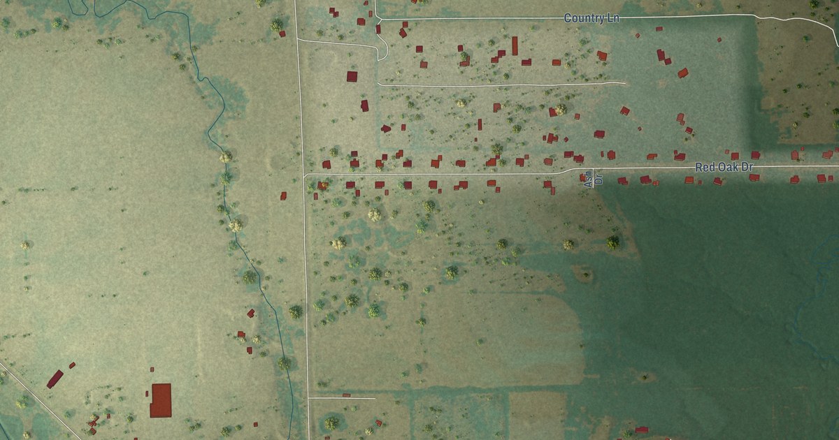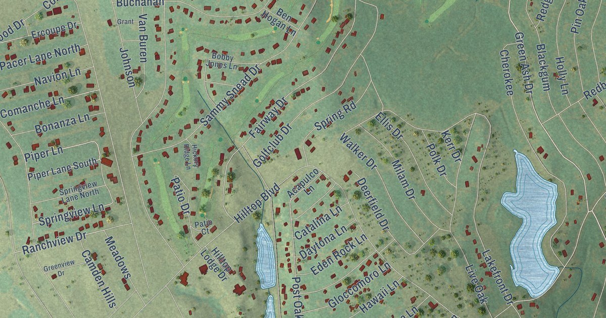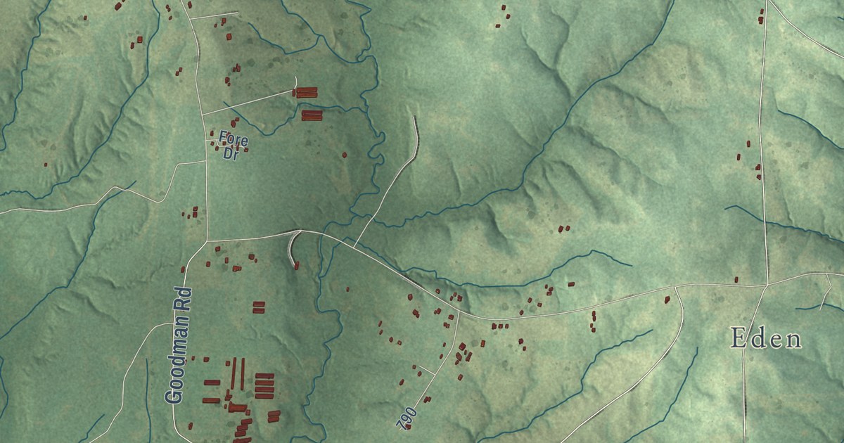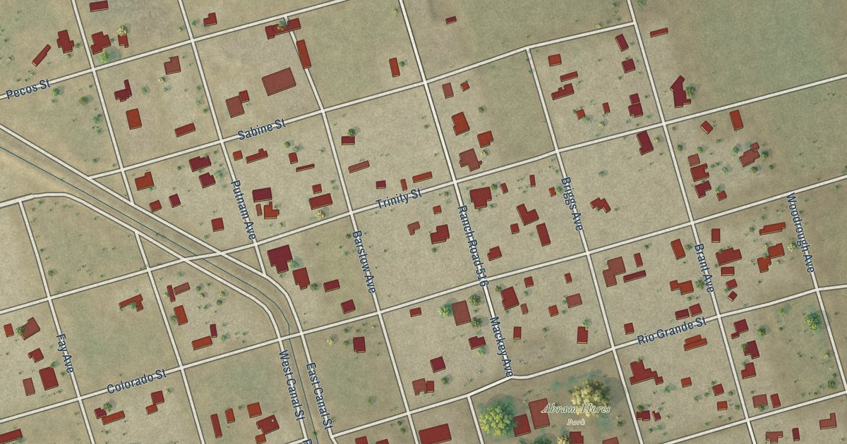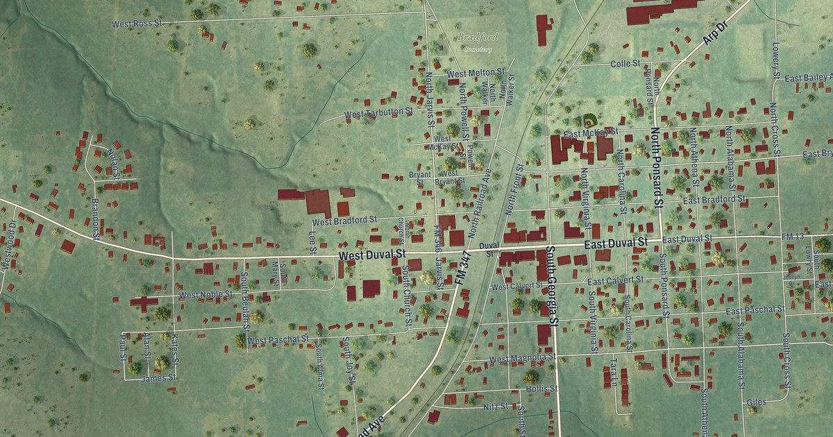
This beautifully detailed map of Troup, Texas was created in 2026 using aerial imagery combined with modern topographical, census, street and landmark data. It’s a one-of-a-kind view of Troup that combines accurate data with a vintage aesthetic. The map shows every building in its true location, many of the roads carry their names, and the shaded topographic relief shows the shape of the land.
Explore an aerial view of Troup, Texas
On the map you’ll find Hilltop Country Club and Bradford Cemetery, along with West Duval Street, East Duval Street, South Georgia Street, North Ponsard Street, FM 347, South Railroad Avenue, Arp Drive, FM 13, South Price Street, East Magnolia Street, and more. If you look closely you can even find your house accurately drawn in its correct location. Zoom in on the preview to look for yours.
Did you know this piece of Troup, Texas history?
Troup grew up during the railroad boom of the 1870s. The town was platted in 1872 where the Houston and Great Northern line split toward Tyler and Longview. A post office named Zavala opened on January 8, 1873. Its name was changed to Troup in 1877. That’s from the Handbook of Texas.
Take a closer look at the Troup map
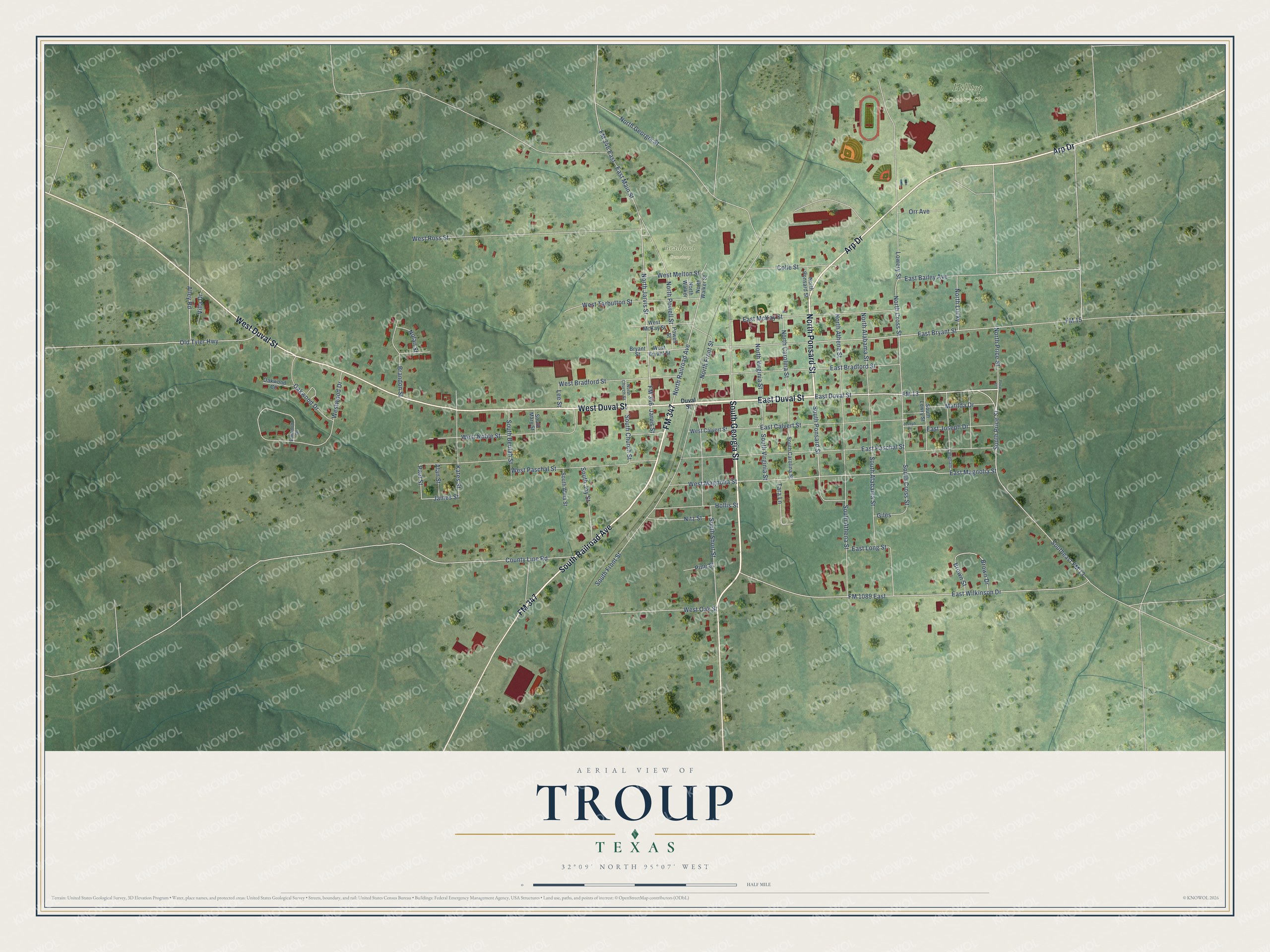
Street and place names on the Troup, Texas map
These names are printed on the map of Troup, Texas.
Places: Hilltop Country Club and Bradford Cemetery.
Streets and roads: West Duval Street, East Duval Street, South Georgia Street, North Ponsard Street, FM 347, South Railroad Avenue, Arp Drive, FM 13, South Price Street, East Magnolia Street, Southeast FM 13, North Railroad Avenue.
More street names, A to Z
Alan Street, Alley Road, Brandon Street, Brown Drive, Brown Street, Bryant Street, Colle Street, County Line Road, Duval Street, East Bailey Avenue, East Bradford Street, East Bryant Street, East Calvert Street, East Joseph Drive, East Long Street, East Main Street, East McKay Street, East Paschal Street, East Wilkinson Drive, Elmwood Drive, FM 15, FM 346, FM 346 East, FM 1089 East, Giles, Hollis Street, James Street, Jarvis Street, Joseph Drive, Kates Street, Langham, Lee Street, Lowery Street, Matilda Drive, Nitz Street, Nolan Street, North Alabama Street, North Athena Street, North Carolina Street, North Church Street, North Cross Street, North Front Street, North Georgia Street, North Jarvis Street, North Lucky, North Powell Street, North Price Street, North Virginia Street, North Walker, North Walker Street, Oakwood Circle, Oakwood Drive, Old Tyler Highway, Orr Avenue, Paul Street, Pine Street, Powell Street, Price Street, South Alabama Street, South Alma Street, South Athena Street, South Beulah Street, South Carolina Street, South Church Street, South Cross Street, South Front Street, South Joy Street, South Lowry Street, South Mary Street, South Ponsard Street, South Short Street, South Virginia Street, Tara Lane, Villa Drive, West Bradford Street, West Bryant Street, West Calvert Street, West Magnolia Street, West McKay Street, West Melton Street, West Noble Street, West Oak Street, West Paschal Street, West Ross Street, West Tarbutton Street, Westwood Drive.
See the Troup, Texas map on a wall
The Troup map as an 18 x 24 inch print in a black frame.

This beautifully detailed map of Troup makes an attractive addition to your office, library, or den, and it can even be used to teach children the geography and history of the area. It also makes a great gift for someone who left Troup and still calls it home. When you’re done exploring, click here to get your copy of the Troup map.