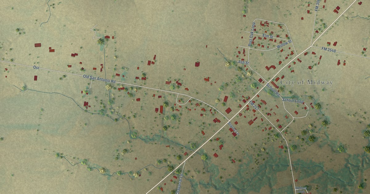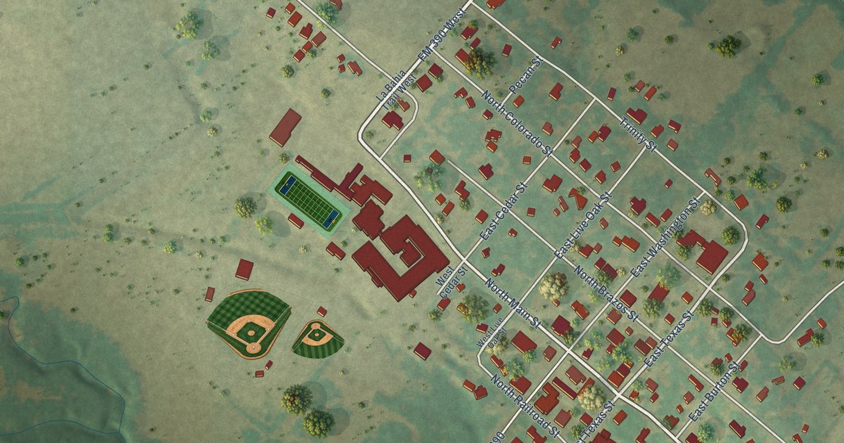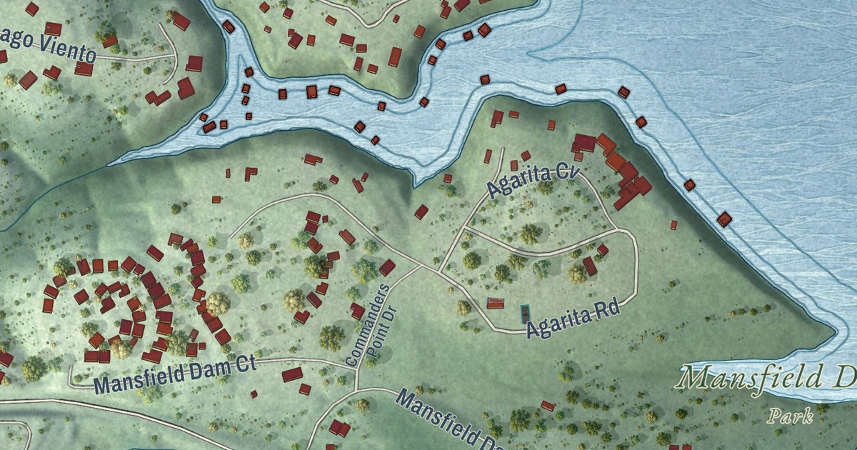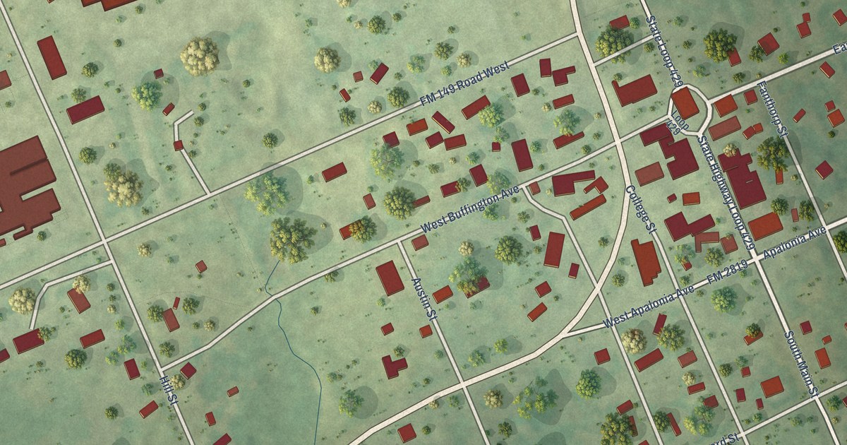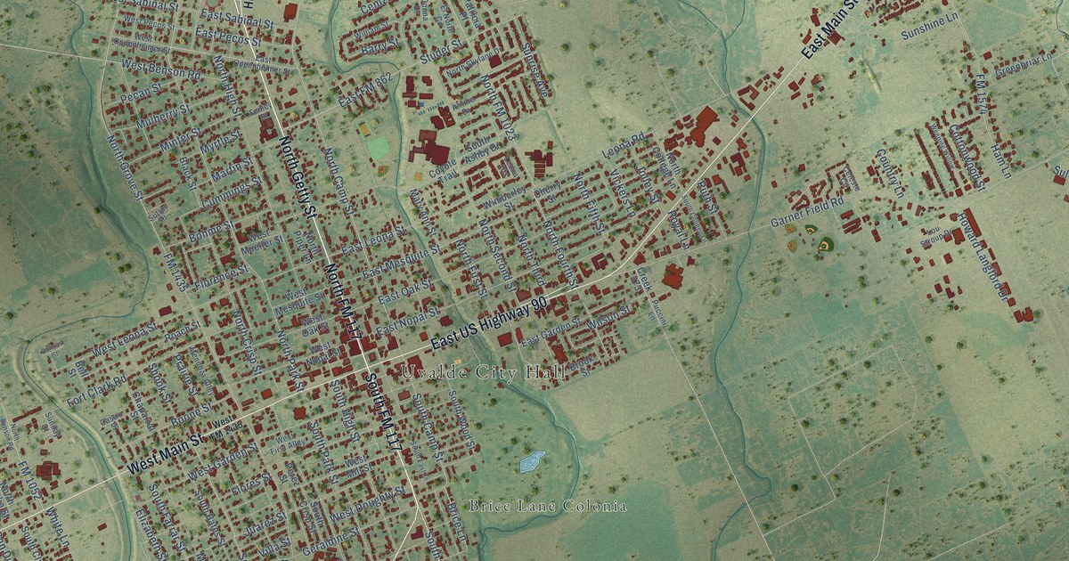
This beautifully detailed map of Uvalde, Texas was created in 2026 using aerial imagery combined with modern topographical, census, street and landmark data. It’s a one-of-a-kind view of Uvalde that combines accurate data with a vintage aesthetic. The map shows every building in its true location, many of the roads carry their names, and the shaded topographic relief shows the shape of the land.
Explore an aerial view of Uvalde, Texas
On the map you’ll find Uvalde City Hall, North Uvalde Colonia, Gonzales Colonia, Brice Lane Colonia, South Grove Street Colonia, North FM 117, and South FM 117, along with North Getty Street, Milam Street, Crystal City Highway, East Main Street, West Main Street, and more. If you look closely you can even find your house accurately drawn in its correct location. Zoom in on the preview to look for yours.
Did you know this piece of Uvalde, Texas history?
From the Handbook of Texas: "In 1990 Uvalde had twenty-five churches, a municipal police force, a volunteer fire department, and an emergency medical services unit."
Take a closer look at the Uvalde map
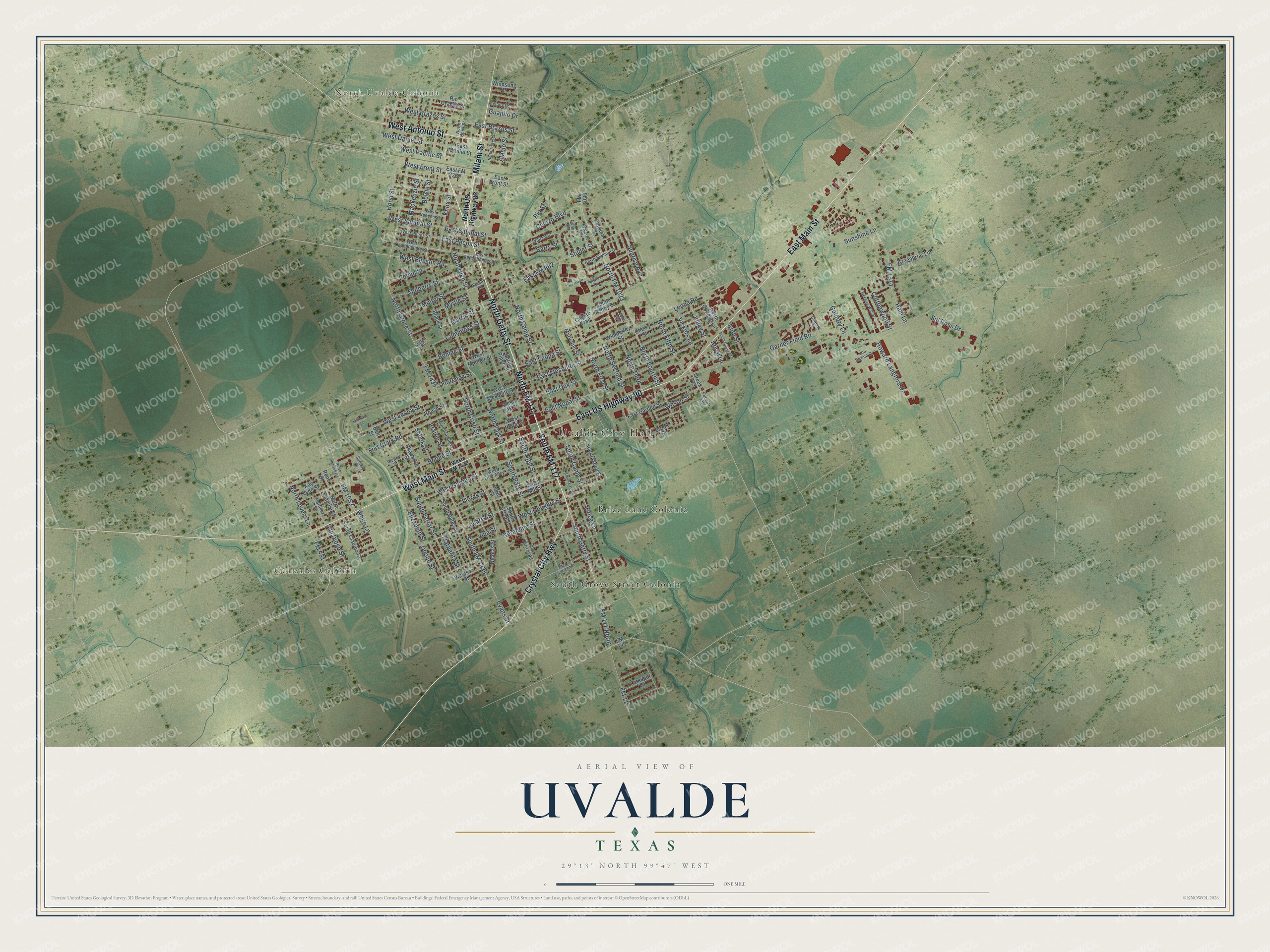
Street and place names on the Uvalde, Texas map
These names are printed on the map of Uvalde, Texas.
Places: Uvalde City Hall, North Uvalde Colonia, Gonzales Colonia, Brice Lane Colonia and South Grove Street Colonia.
Streets and roads: North Getty Street, North FM 117, South FM 117, Milam Street, Crystal City Highway, East Main Street, West Main Street, East US Highway 90, West Antonio Street, South Getty Street, West Front Street, FM 117.
More street names, A to Z
Airline Drive, Alamo Street, Barry Street, Bell Street, Black Street, Bohme Street, Boone Street, Bowie Street, Brice Lane, Brook Street, Castro Street, Celeste Circle, Cenizo Boulevard, Chaparral Street, Cherry Street, Cottonwood Street, Country Lane, Coyote Trail, Creek 373, Cummings Street, Donna Drive, Doolie Street, East Brazos Street, East Daniel Street, East FM 862, East FM 2369, East Front Street, East Garden Street, East Leona Street, East Mesquite Street, East Nopal Street, East Oak Street, East Oppenheimer Street, East Pecos Street, East Sabinal Street, Elizabeth Street, El Norte Circle, Evans Street, Fenley Street, Florence Street, Flores Street, FM 117 North, FM 140, FM 481, FM 1023, FM 1052, FM 1435, FM 1574, Fort Clark Road, Garner Field Road, Geraldine Street, Greenbriar Lane, Guajillo Drive, Ham Lane, Hood Street, Howard Langford Drive, Jolley Street, Juarez Street, Kay Lynn Street, Knox Street, Larkspur Drive, Leona Heights, Leona Road, Lou Stroup Drive, Mackenzie Street, Margarita Street, Martinez Street, Martin Street, Mary Ann Street, Melody Lane, Mendoza Alley, Minter Street, Mulberry Street, Myrtle Street, Nicolas Street, North Benson Road, North Camp Street, North Claudia Street, North College Lane, North Crisp Street, North Fifth Street, North First Street, North FM 1023, North Fourth Street, North Grove Street, North High Street, North Knox Street, North Lovers Lane, North Park Street, North Piper Lane, North Second Street, North Skylane Drive, North Third, North Travis Street, North US Highway 83, Old Carrizo Road, Patricia Place, Pecan Street, Perez Street, Prairie Street, Puccini Lane, Rene Street, Rio Grande Street, Rio Street, Roach Street, Royal Lane, Ruth Street, Salinas Street, San Diego Street, Shook Street, South Ashby Drive, South Bates Street, South Camp Street, South Claudia Street, South College Lane, South Crisp Street, South East Lane, South Farrar Street, South FM 1435, South High Street, South Park Street, South Wood Street, Studer Street, Sul Ross Drive, Sunday Court, Sunrise Avenue, Sunshine Lane, Sutton Place, Vanessa Street, Vickers Lane, Villa Street, Weeping Willow, West Benson Road, West Brazos Street, West Daniel Street, West Doughty Street, West Evergreen Street, West First Alley, West FM 1435, West Garden Street, West Leona Street, West Mesquite Street, West Mill Street, West Mueller Street, West Nopal Street, West Nueces Street, West Oak Street, West Oppenheimer Street, West Pacific Street, West Pecos Street, West Sabinal Street, White Lane, William Street, Wilson Street, Wimberley Street, Windsong Drive.
See the Uvalde, Texas map on a wall
The Uvalde map as an 18 x 24 inch print in a black frame.

This beautifully detailed map of Uvalde makes an attractive addition to your office, library, or den, and it can even be used to teach children the geography and history of the area. It also makes a great gift for anyone who grew up in Uvalde or moved away. When you’re done exploring, click here to get your copy of the Uvalde map.