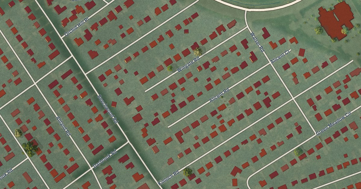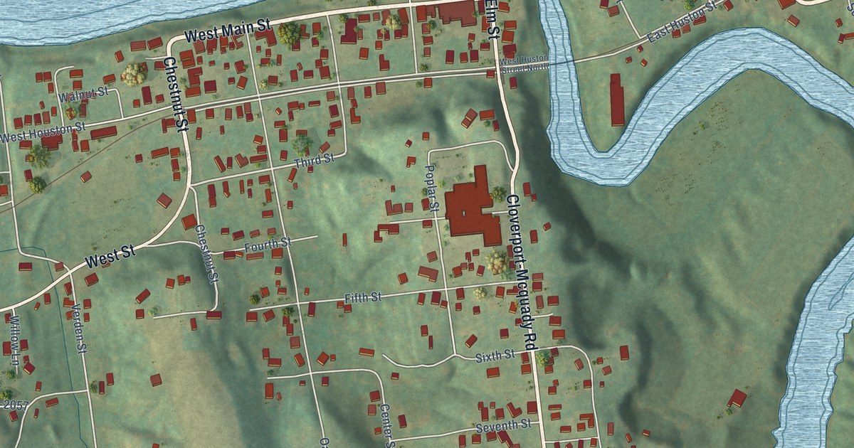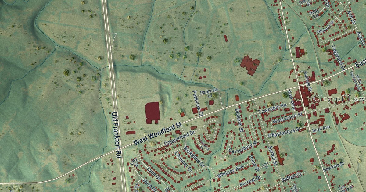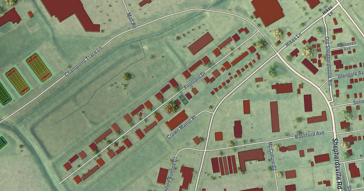
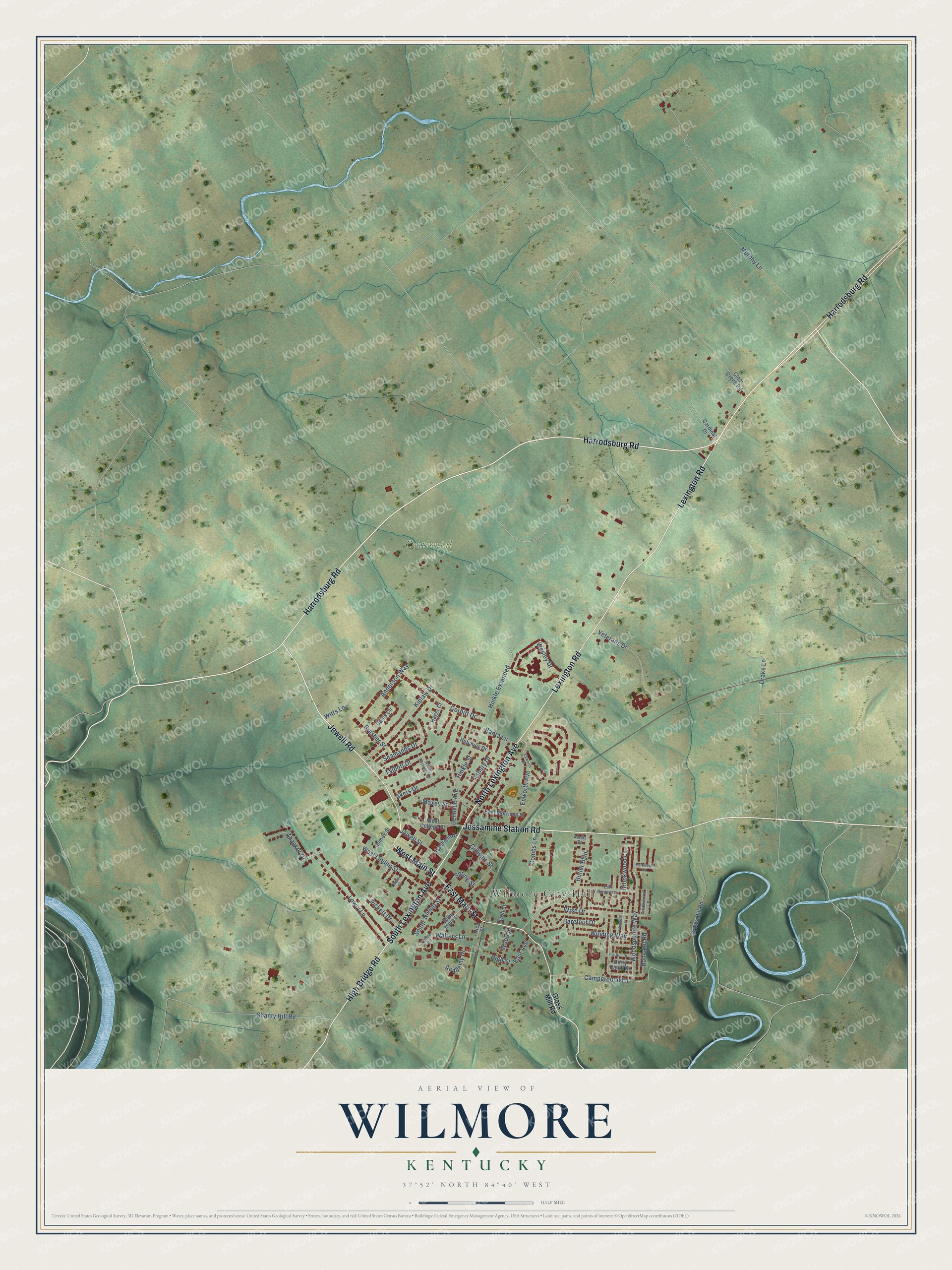
This beautifully detailed map of Wilmore, Kentucky was created in 2026 using aerial imagery combined with modern topographical, census, street and landmark data. It's a modern aerial view of Wilmore in Jessamine County, Kentucky, that combines modern data with a vintage aesthetic. The roads feature printed names, and if you look closely you can find your exact house accurately shown in its correct location.
Explore an aerial view of Wilmore, Kentucky
On this map you'll find Wilmore City Hall, Centennial Park, Harrodsburg Road, West Main Street, Jewell Road, North Lexington Avenue, High Bridge Road, Jessamine Station Road, Lexington Road, East Main Street, South Lexington Avenue, Kinlaw Drive, and more. Each red shape is a building, so zoom in on the preview and look for yours.
Every town has a first chapter, and Wilmore is no exception. The Kentucky Historical Society puts it this way: "Asbury College – Established in 1890, this school was named for Francis Asbury, first Methodist bishop and circuit rider in United States. Asbury Theological Seminary was established at Asbury College, 1923."
Wilmore is a city in Jessamine County. The Census Bureau counted 5,999 people here in 2020.
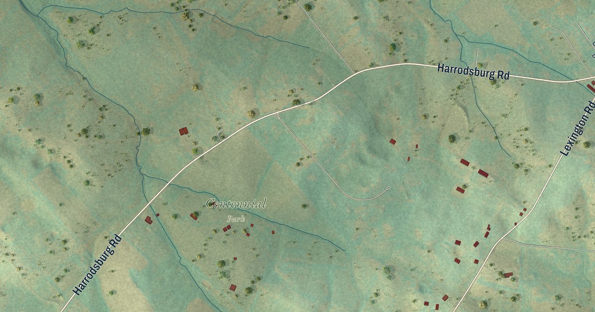
Take a closer look at the Wilmore map
Names on this map
These names are printed on this map.
Places: Wilmore City Hall and Centennial Park.
Streets and roads: Harrodsburg Road, West Main Street, Jewell Road, North Lexington Avenue, High Bridge Road, Jessamine Station Road, Lexington Road, East Main Street, South Lexington Avenue, Kinlaw Drive, Walters Lane, Bellevue Avenue.
More street names, A to Z
Academy Drive, Akers Drive, Alexis Drive, Anderson Way, Asbury Drive, Banta Lane, Barefoot Drive, Berry Patch Drive, Bohicket Road, Brasher Street, Brookwood Lane, Butler Boulevard, Callis Circle, Campground Lane, Cardinal Drive, Clear Creek Road, Combs Lane, Corbitt Drive, Creekwood Lane, Drake Lane, East Avenue, East Margaret Drive, East Morrison Street, Epworth Avenue, Epworth Drive, Fox Run Drive, Gillispie Street, Glass Mill Road, Grows Mill Road, Hager Court, High Street, Hinkle Extended, Hinkle Street, Hutchins Drive, James Street, Jewell Street, Linden Court, Lowry Lane, Macklem Drive, Maxey Street, Murphy Lane, Parkwood Drive, Pickett Drive, Rice Street, Scott Street, Seamands Drive, Shanty Hill Road, South Maple Street, South Walnut Street, Spring Street, Talbott Drive, Thacker Drive, Veterans Drive, Village Circle, Wesley Drive, West College Street, West Linden Street, Wilder Reynolds Road, Winding Way, Wise Drive, Witts Lane, Woodhill Lane, Woodspointe Way, Wood Street.
Created by KNOWOL in 2026. The buildings are small red shapes, the roads carry their printed names, and shaded relief shows the shape of the land. The title panel reads "AERIAL VIEW OF WILMORE KENTUCKY" with 37°52' NORTH 84°40' WEST.
Hang it in the hallway, the office or the cabin, or give it to someone who left Wilmore and still calls it home. Open the preview and look for a street you know. See sizes and frames for the Wilmore map.