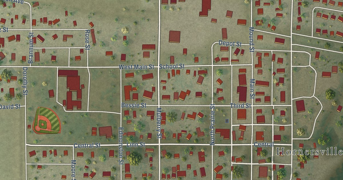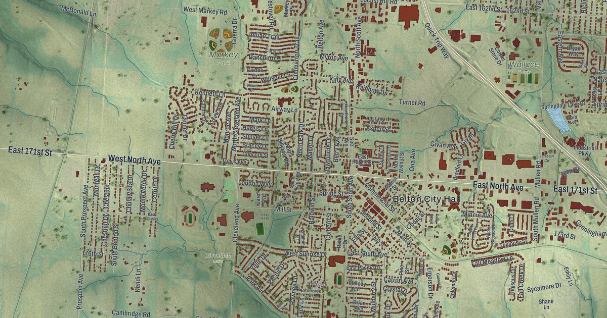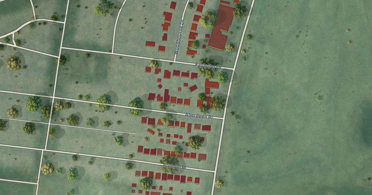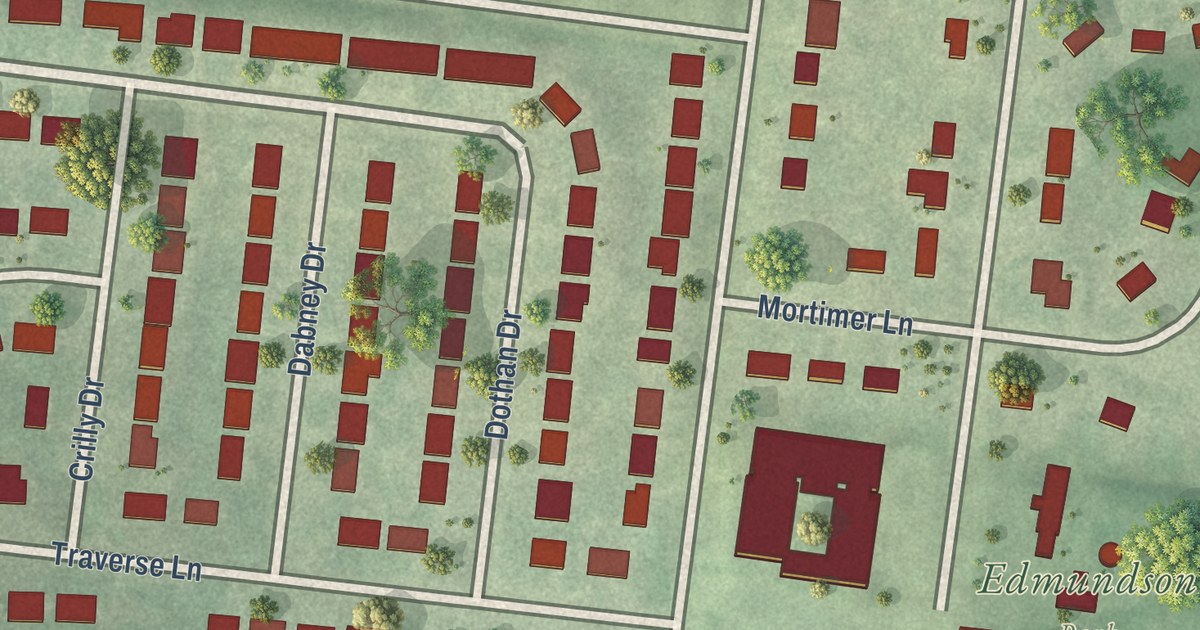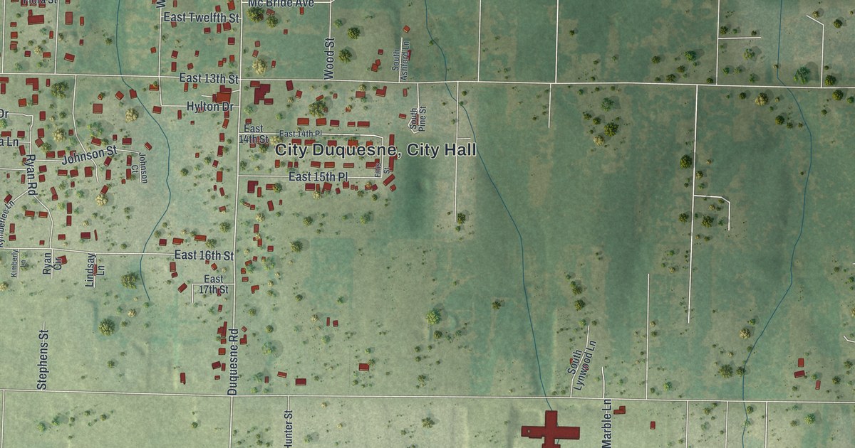
This beautifully detailed map of Duquesne, Missouri was created in 2026 using aerial imagery combined with modern topographical, census, street and landmark data. It’s a one-of-a-kind view of Duquesne that combines accurate data with a vintage aesthetic. The map shows every building in its true location, many of the roads carry their names, and the shaded topographic relief shows the shape of the land.
Explore an aerial view of Duquesne, Missouri
On the map you’ll find City Duquesne and City Hall, along with East Seventh Street, East 23rd Street, Duquesne Road, South Duquesne Road, Kenser Road, South Kenser Road, East 20th Street, East 25th Street, East 13th Street, Katherine Avenue, East 24th Street, and more. If you look closely you can even find your house accurately drawn in its correct location. Zoom in on the preview to look for yours.
Did you know this piece of Duquesne, Missouri history?
An early store and spring owned by Mr. Caple supplied families traveling west through Duquesne. By the late 1920s, the Star Grocery and Motel served Route 66 travelers at the same intersection. That’s from the City of Duquesne comprehensive plan.
Take a closer look at the Duquesne map
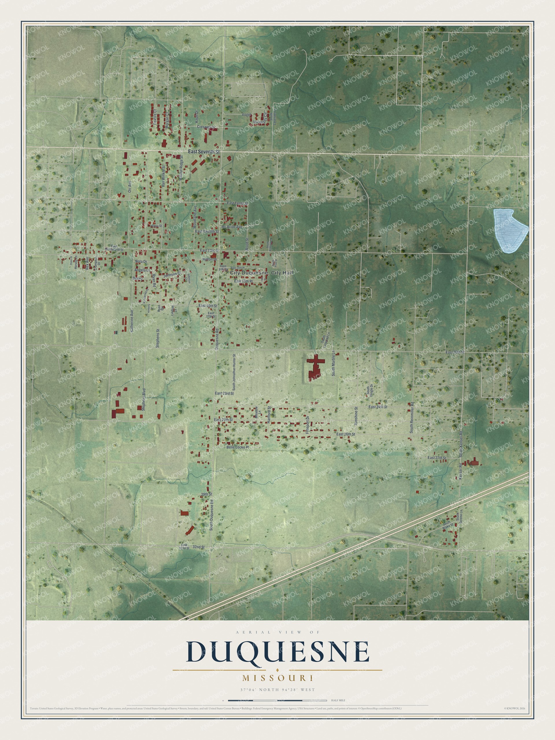
Street names on the Duquesne, Missouri map
These names are printed on the map of Duquesne, Missouri.
Streets and roads: East Seventh Street, East 23rd Street, Duquesne Road, South Duquesne Road, Kenser Road, South Kenser Road, East 20th Street, East 25th Street, East 13th Street, Katherine Avenue, East 24th Street, East 26th Street.
More street names, A to Z
29th Street, 32nd Street, Angela Lane, Belle Locke Place, Bunny, Crampton Drive, Creswell Drive, East 14th Place, East 14th Street, East 15th Place, East 16th Street, East 17th Street, East 27th Street, East 32nd Street, East Markwardt Street, East Tenth Street, East Twelfth Street, Finis Street, Flora Street, Foxfire Court, Freeport Drive, Hartford Street, Hervey Lane, Hylton Drive, Johnson Court, Johnson Street, Kimberly Lane, Knoll Drive, Kymberlee Lane, Lindsay Lane, Mc Bride Avenue, Meadow Lane, Morgan Court, Nola Drive, Orr Avenue, Peters Street, Rex Avenue, Ryan Circle, Ryan Road, South Ashford Lane, South Blake Street, South Dingle Drive, South Johnathan Hunter Street, South Lavender Lane, South Lynwood Lane, South Marble Lane, South Pine Street, South Reinmiller Road, South Serene Lane, Stephens Boulevard, Stephens Street, Sunshine Street, University Circle, Van Winkle Street, Vogel, Walnut Ridge Street, Woodland Avenue, Wood Street.
See the Duquesne, Missouri map on a wall
The Duquesne map as an 18 x 24 inch print in a black frame.

This beautifully detailed map of Duquesne makes an attractive addition to your office, library, or den, and it can even be used to teach children the geography and history of the area. It also makes a great gift for anyone with Duquesne roots. When you’re done exploring, click here to get your copy of the Duquesne map.