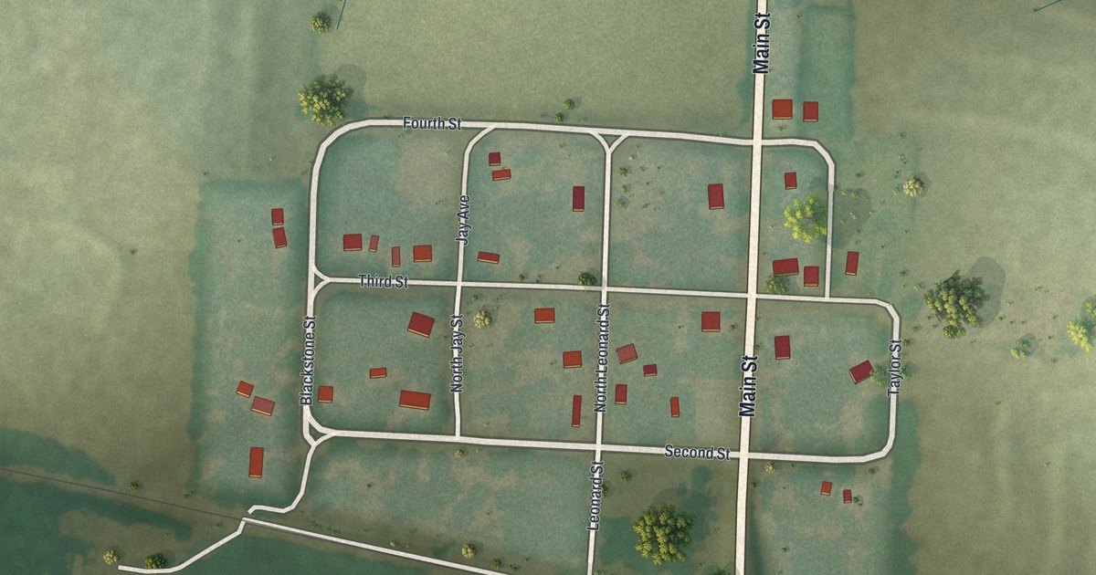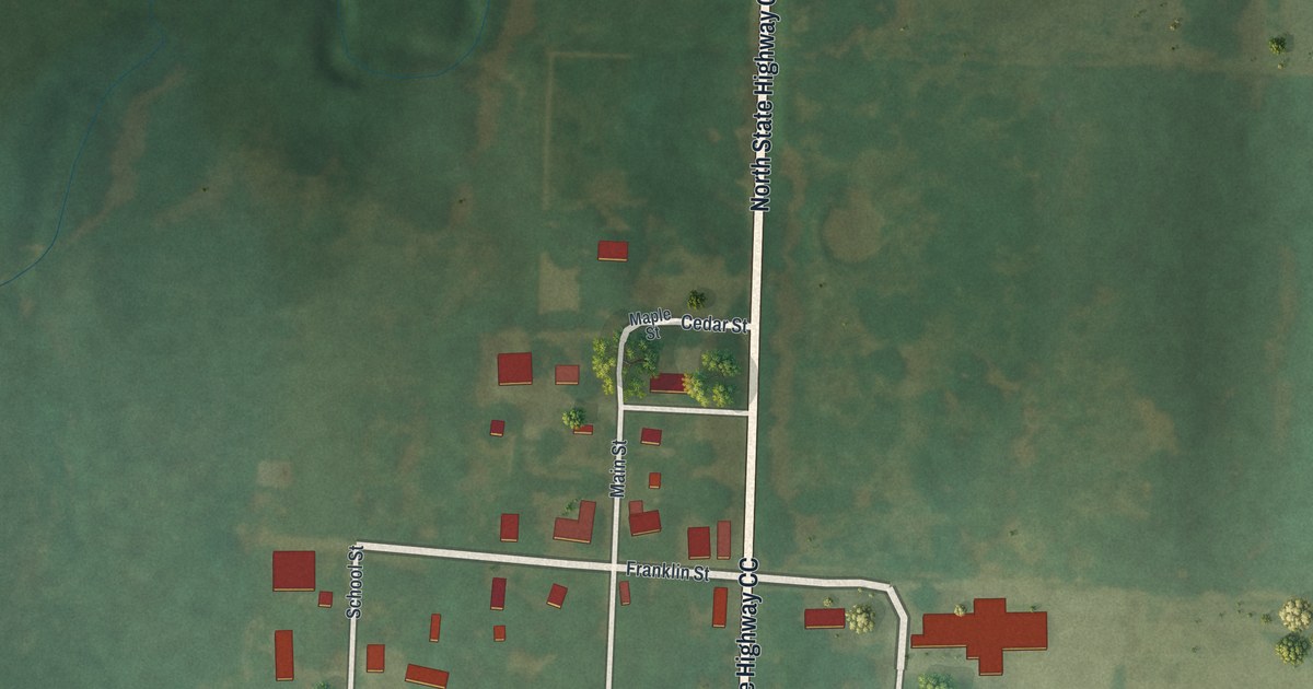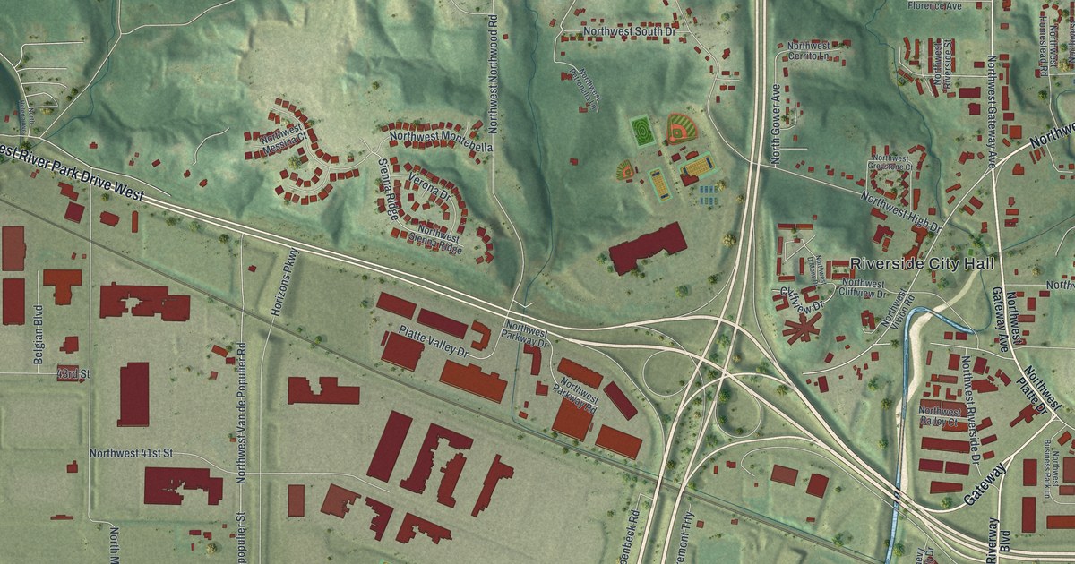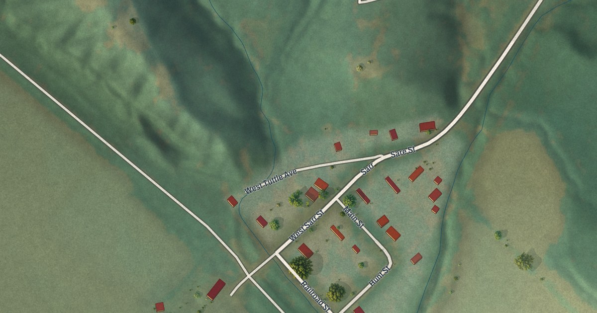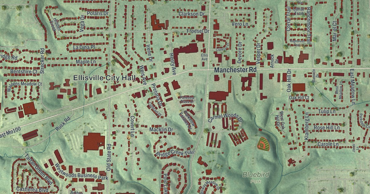
This beautifully detailed map of Ellisville, Missouri was created in 2026 using aerial imagery combined with modern topographical, census, street and landmark data. It’s a one-of-a-kind view of Ellisville that combines accurate data with a vintage aesthetic. The map shows every building in its true location, many of the roads carry their names, and the shaded topographic relief shows the shape of the land.
Explore an aerial view of Ellisville, Missouri
On the map you’ll find Ellisville City Hall and Bluebird Park, along with Manchester Road, Clarkson Road, Old State Road, Ozark Trail Drive, Kiefer Creek Road, Hutchinson Road, Virginia Drive, Marsh Avenue, Reinke Road, Froesel Drive, and more. If you look closely you can even find your house accurately drawn in its correct location. Zoom in on the preview to look for yours.
Did you know this piece of Ellisville, Missouri history?
From the State Historical Society of Missouri: "Hereford (b. 1850), a lawyer who came from Virginia bought the location of the post office and named it Ellisville for a post office in Virginia."
Take a closer look at the Ellisville map
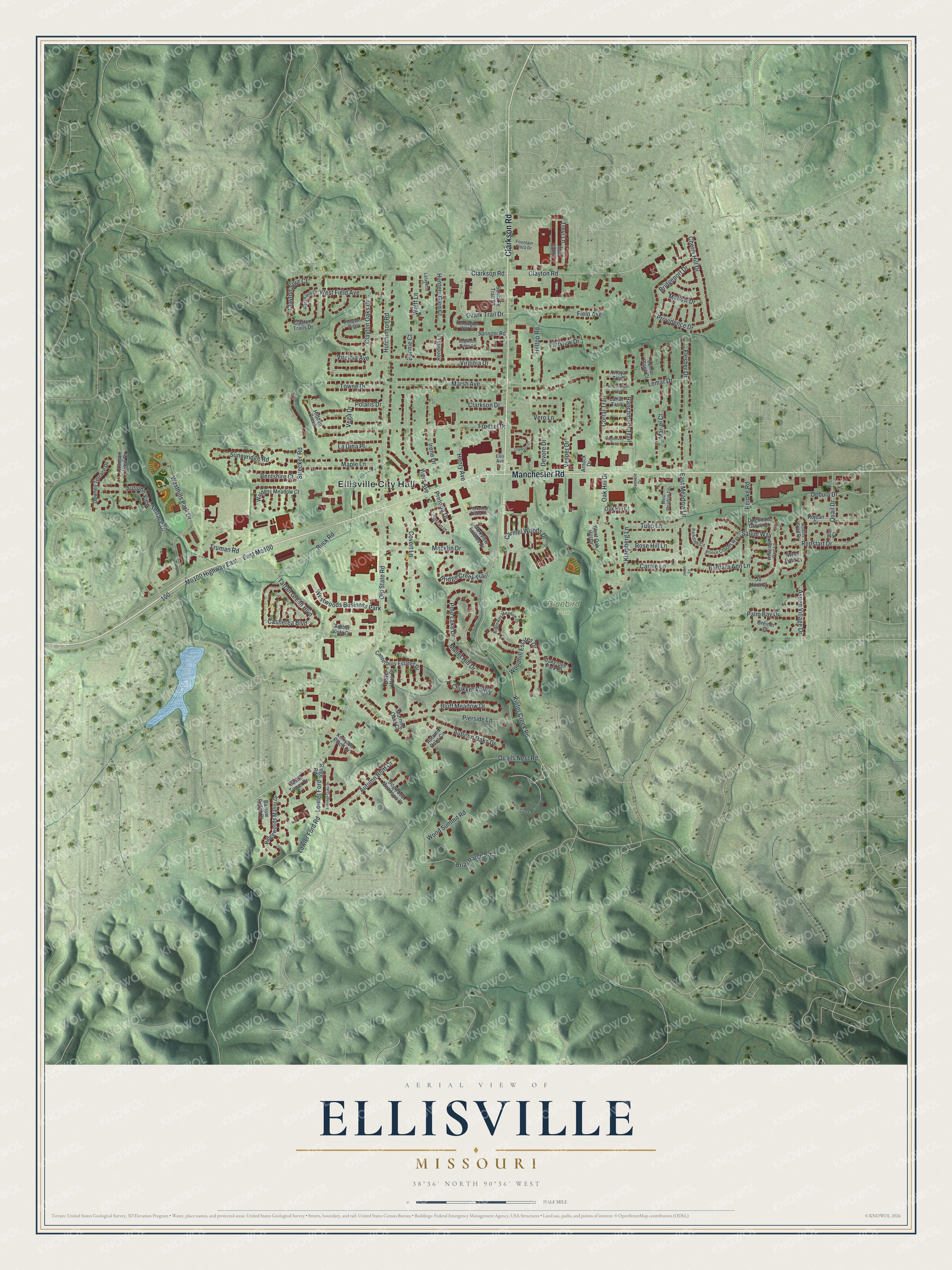
Street and place names on the Ellisville, Missouri map
These names are printed on the map of Ellisville, Missouri.
Places: Ellisville City Hall, Bluebird Park and Westwoods Business Park.
Streets and roads: Manchester Road, Clarkson Road, Old State Road, Ozark Trail Drive, Kiefer Creek Road, Hutchinson Road, Virginia Drive, Marsh Avenue, Reinke Road, Froesel Drive, Quails Nest Road, Pierside Lane.
More street names, A to Z
Amber Vista Drive, Arnock Drive, Arroya Trail, Aspen Village Drive, Autumn Bluff Drive, Autumn Oaks Circle, Autumn Oaks Drive, Autumn View Terrace Drive, Barbara Ann Lane, Barnicle Drive, Barrow Ridge Court, Bentshire Court, Bluff Meadow Drive, Bonnie Court, Briar Patch Road, Bridge Creek Trail, Bridgeport Drive, Canterbury Estates Drive, Carmel Woods Drive, Carole Lane, Castlerea Boulevard, Castle Tower Drive, Cathcart Drive, Cherry Hill Drive, Chukker Valley, Clarkson Court, Clarkson Drive, Clarkson Pines Lane, Clayton Oaks Drive, Clayton Road, Clayton Spur Court, Clayton Trails Drive, Corral Trail, Covert Lane, Crimson View Drive, Debula Drive, Devore Drive, Dogwood Grove Court, Dogwood Meadows Court, Dover Way Court, Downey Terrace Drive, East Meadow Lane, East Mo100, Ellis Avenue, Fairview Drive, Field Avenue, Flesher Drive, Fountain Plaza Drive, Greiner Court, Henry Avenue, Hidden Creek, Hilltop Road, Hunters Glen Court, Irene Drive, Jacob Lane, Jb Hunt Court, Kensington Way Drive, Kerryton Place Drive, Kiefer Creek Meadows Drive, Klamberg Lane, La Dina Place, Lafayette Court, Lariat Trail, Lawler Ford Road, Lemar Drive, Lemar Place Court, Lowler Ford, Macklin Drive, Mallet Hill Drive, Mallow Drive, Maple Lane, Mar-el Court, Mo100 Highway East, Morning Oaks Court, Oakgrove Park Court, Oak Hill Court, Oak Hill Drive, Palm Bay Drive, Parkdale Circle, Parkview Estates Drive, Parkview Place Drive, Pheasant Ridge, Polaris Drive, Polo Lake Drive, Pretoria Drive, Prince Charles Way, Providence Drive, Quail Court, Quail Drive, Ranchmoor Trail, Redstart Drive, Rendina Lane, Ridge Road, Ridgeway Meadow Drive, Ridgewoods Manor Drive, Robins Song Drive, Rojean Drive, Rose Hill Lane, Ruck Road, Sagebrush Trail, Salem Way, Santa Fe Trail Drive, Springer Road, Strecker Road, Summer Oaks Drive, Sunnyridge Road, Tartan Green Boulevard, Towne Drive, Trevi Lane, Triton Way, Truman Road, Tulip Lane, Vega Drive, Vero Lane, Vesper Drive, Virginia Avenue, Wagonwheel Trail, Waldens Meadow Court, Weis Avenue, West Field Avenue, West Field Court, Westhills Park Drive, West Meadow Lane, West Oak Hill Drive, Westridge Parc Lane, Wolff Lane, Woodhill Estates Drive, Wood Summit Road, Wren Path Court.
See the Ellisville, Missouri map on a wall
The Ellisville map as an 18 x 24 inch print in a black frame.

This beautifully detailed map of Ellisville makes an attractive addition to your office, library, or den, and it can even be used to teach children the geography and history of the area. It also makes a great gift for someone who left Ellisville and still calls it home. When you’re done exploring, click here to get your copy of the Ellisville map.