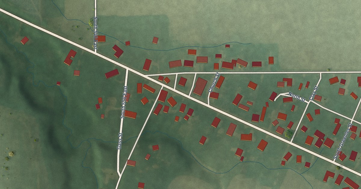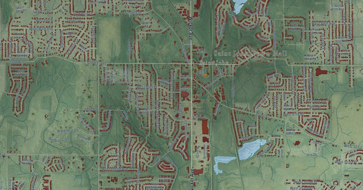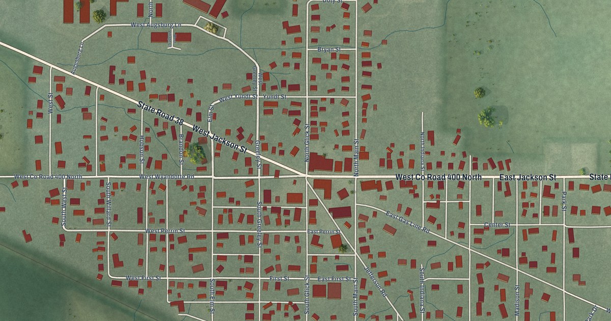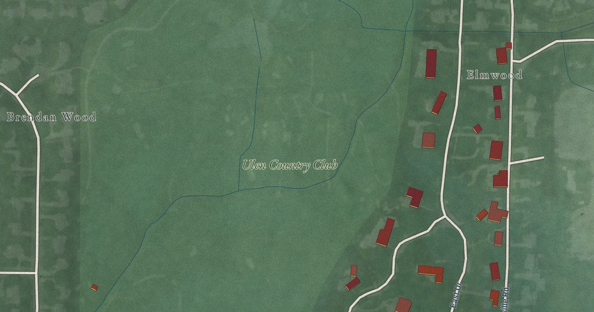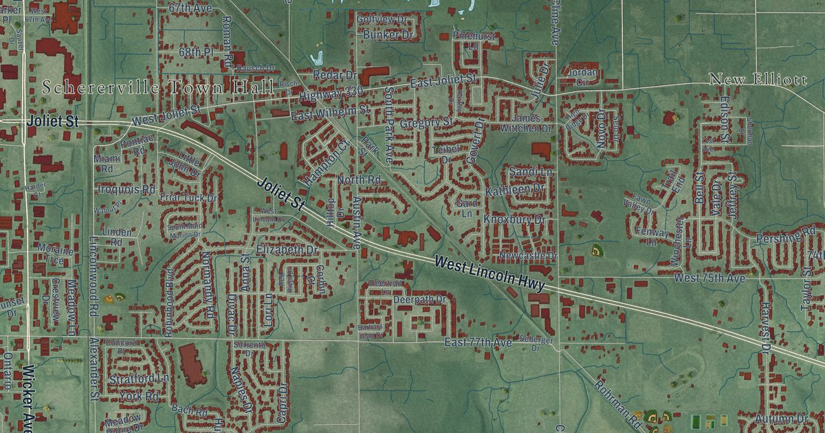
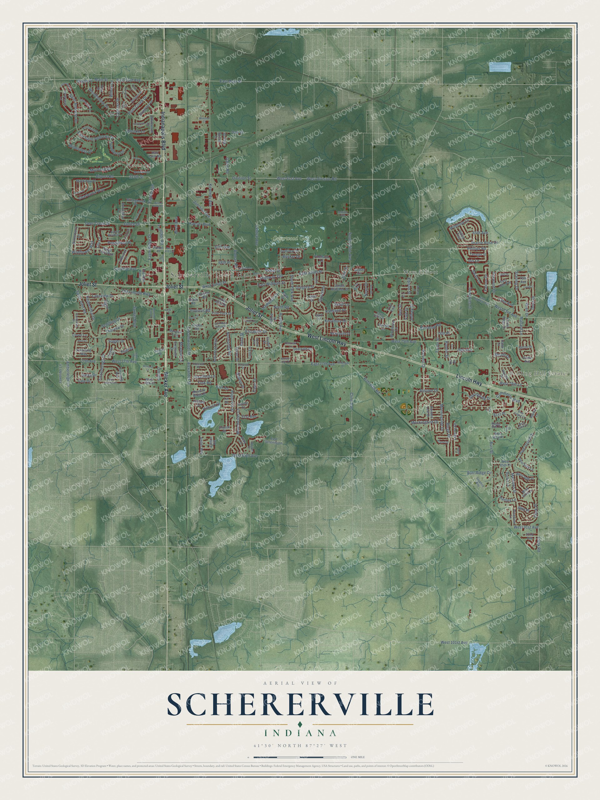
This beautifully detailed map of Schererville, Indiana was created in 2026 using aerial imagery combined with modern topographical, census, street and landmark data. It’s a one-of-a-kind view of Schererville that combines accurate data with a vintage aesthetic. The map shows every building in its true location, many of the roads carry their names, and the shaded topographic relief shows the shape of the land.
Explore an aerial view of Schererville, Indiana
On the map you’ll find Schererville Town Hall, Hartsdale, Rolling Hill Estates, New Elliott, and Scherwood Golf, along with Indianapolis Boulevard, West Lincoln Highway, Joliet Street, Lincoln Highway, Wicker Avenue, Phillips Road, Burr Street, and more. If you look closely you can even find your house accurately drawn in its correct location. Zoom in on the preview to look for yours.
Did you know this piece of Schererville, Indiana history?
From the Town of Schererville: "Once the Federal Government decided to build the Lincoln Highway, the first cross country paved highway, Schererville became part of the system."
Take a closer look at the Schererville map
Street and place names on the Schererville, Indiana map
These names are printed on the map of Schererville, Indiana.
Places: Schererville Town Hall, Hartsdale, Rolling Hill Estates, New Elliott and Scherwood Golf.
Streets and roads: Indianapolis Boulevard, West Lincoln Highway, Joliet Street, Lincoln Highway, Wicker Avenue, Phillips Road, Burr Street, West 61st Avenue, West Division Road, West Joliet Street, 77th Avenue, East Joliet Street.
More street names, A to Z
65th Avenue, 67th Avenue, 68th Place, 70th Avenue, 71st Avenue, 72nd Avenue, 74th Place, 76th Avenue, 81st Avenue, 81st Place, 89th Place, 92nd Avenue, 213th Street, Abby Lane, Airport Road, Alexander Street, Alpine Lane, Amberleigh Lane, Amber Way, Anna Street, Ashton Hill, Auburn Meadow Lane, Austin Avenue, Autumn Drive, Bach Road, Barbara Jean Drive, Barrington Court, Bell Street, Bemis Heights Avenue, Ben Drive, Birch Avenue, Bluegrass Drive, Briarwood Drive, Brooke Lane, Bunker Drive, Burge Drive, Burr Ridge Circle, Capri Drive, Carnoustie Lane, Caroline Avenue, Castleview Drive, Cedar Lane, Central Avenue, Charlevoix Way, Clark Place, Clark Road, Cline Avenue, Clover Lane, Commerce Boulevard, Concord Place, Corbin Court, Cowan Court, Crane Court, Crestview Drive, Cypress Drive, Deer Creek Drive, Deerpath Drive, Deertrail Lane, Divac Drive, Division Street, Dove Drive, Durbin Lane, Durbin Street, Eagleridge, Eagle Ridge Drive, East 53rd Avenue, East 70th Avenue, East 77th Avenue, East Highway 330, East Main Street, East Saint Andrews Drive, East Serenity Lane, East Wilhelm Street, Edison Street, Eggert Drive, Elizabeth Drive, Evergreen Lane, Falcon Drive, Fawn Valley Drive, Fenway Lane, Forest Drive, Forest Ridge Drive, Fountain Park Drive, Foxwood Drive, Friar Tuck Drive, Frontage Road, Gard Lane, Gates Drive, Gatlin Road, Gleneagles Drive, Golfview Drive, Govert Drive, Gregory Street, Gull Drive, Hamlin Street, Hampton Court, Hanley Lane, Hanley Street, Harder Court, Hart Farm Road, Hartley Drive, Harvest Drive, Hawk Court, Heron Drive, High Ridge Drive, Highway 330, Hilbrich Drive, Hillside Drive, Hilltop Drive, Hugel Hill Street, Huppenthal Drive, Indian Trail, Inverness Lane, Iris Lane, Iroquois Road, James Wittchen Drive, Janice Drive, Jeffrey Street, Jordan Circle, Julie Drive, Junction Avenue, June Drive, Juniper Drive, Kaeser Boulevard, Kathleen Drive, Keenland Way, Kennedy Avenue, Kil Court, Kil Drive, Knoxbury Drive, Krame Drive, Lakeview Drive, Lakewood Lane, Lavender Lane, Liberty Drive, Lily Lane, Lincolnwood Road, Linden Road, Lisa Lane, Little John Drive, Lori Lane, Mackinaw Place, Maggie Mae Court, Main Street, Mallard Lane, Manchester Lane, Maple Place, Mathews Street, McIntosh Lane, Meadow Lane, Meadow Ridge Drive, Miami Road, Mockingbird Drive, Moraine Trce, Morningside Drive, Mount Drive, Muirfield Court, Muirfield Drive, Naples Drive, Newcastle Drive, Normandy Road, North Road, Novo Drive, Oak Street, Old Lincoln Highway, Ontario, Oriole Avenue, Painted Leaf Drive, Parker Place, Park Street, Pentwater Lane, Pershing Road, Pinehurst Lane, Pine Island Court, Pine Island Drive, Pine Street, Pineview Lane, Plum Creek Drive, Pontiac Road, Poppyfield Place, Prairie Rose Drive, Prestwick Drive, Primrose Lane, Rausch Drive, Redar Drive, Red River Drive, Rhett Court, Ridge Field Run, Risch Drive, Robinhood Boulevard, Rohrman Road, Roman Road, Saint Andrews Drive, Saint John Road, Sandi Lane, Sapphire Way, Saratoga Avenue, Sauzer Drive, Schiller Avenue, Schilling Drive, Scotch Street, Seberger Drive, Selo Drive, Seville Court, Sherman Street, Sherwood Lake Drive, Slager Drive, Sorrento Drive, South Cline Avenue, South Maid Marion Drive, South Park Avenue, Spivak Drive, Springvale Drive, Starling Drive, Stonebridge Drive, Stratford Lane, Sunset Boulevard, Sunset Drive, Swan Lane, Tal Drive, Tanager Street, Tate Drive, Taylor Street, Teibel Drive, Theresa Drive, Thiel Drive, Ticonderoga Street, Tompkins Court, Trail End, Troon Court, Tulip Court, Turnberry Drive, Union Circle, Vale Drive, Walnut Place, West 67th Avenue, West 73rd Avenue, West 75th Avenue, West 77th Avenue, West 78th Court, West 78th Lane, West 82nd Court, West 83rd Place, West 85th Avenue, West 85th Lane, West 85th Place, West 86th Place, West 87th Lane, West 91st Avenue, West 101st Avenue, West Lincoln Drive, Whisper Drive, Whitewood Drive, Wilderness Drive, Wildflower Way, Wildrose Lane, Willowbrook Drive, Willow Brook Road, Willow Lane, Winchester Lane, Winston Court, Winterberry Lane, Woodhollow Drive, Wren Drive, York Road.
See the Schererville, Indiana map on a wall
The Schererville map as an 18 x 24 inch print in a black frame.

This beautifully detailed map of Schererville makes an attractive addition to your office, library, or den, and it can even be used to teach children the geography and history of the area. It also makes a great gift for anyone who grew up in Schererville or moved away. When you’re done exploring, click here to get your copy of the Schererville map.